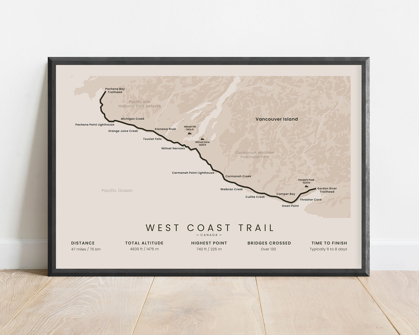
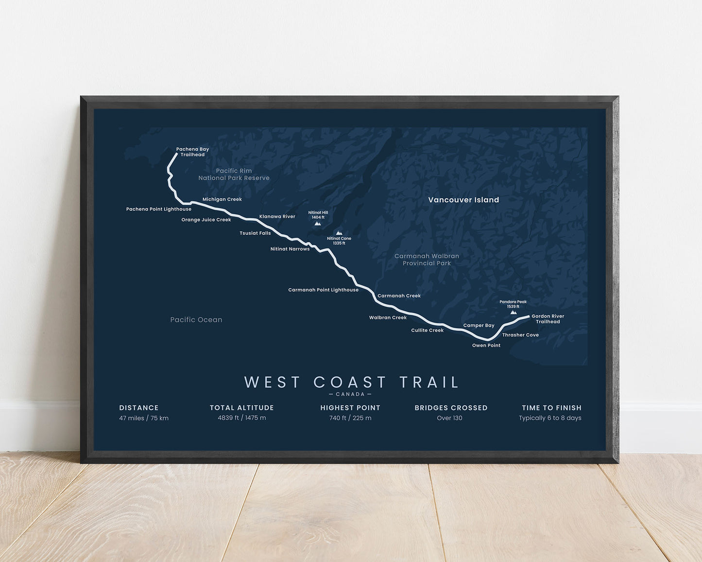
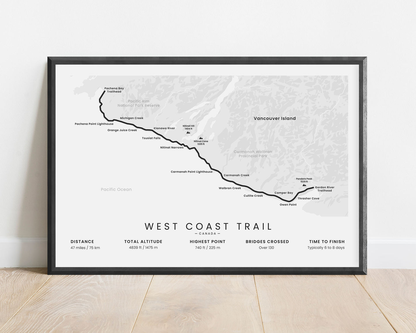
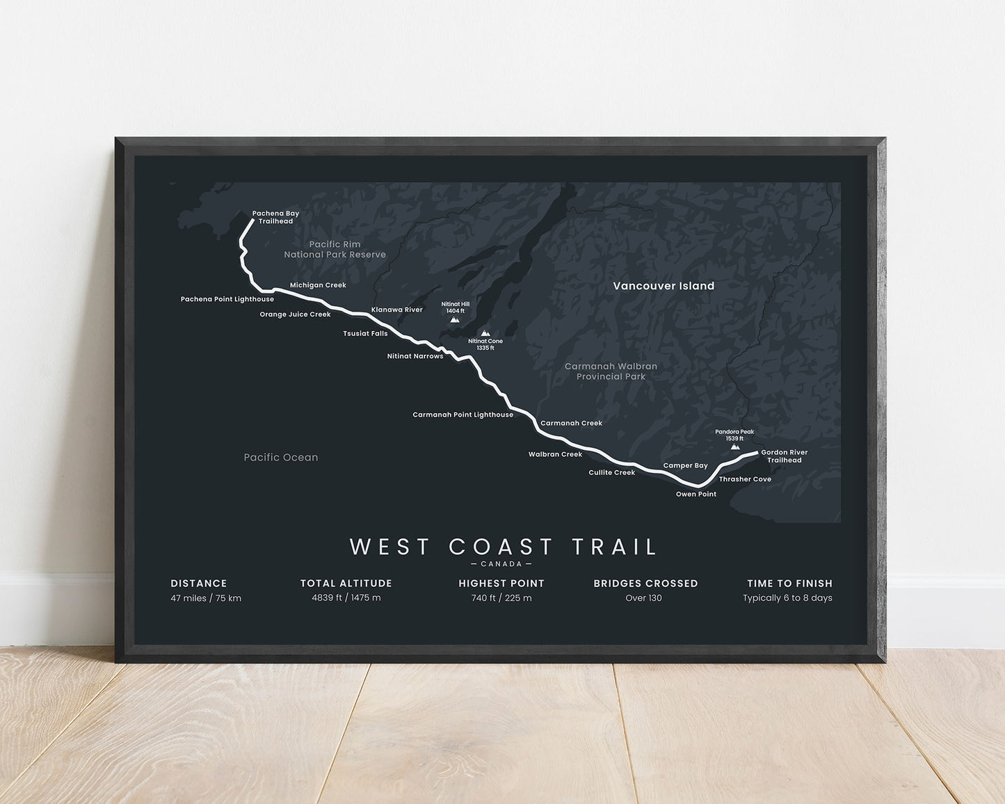
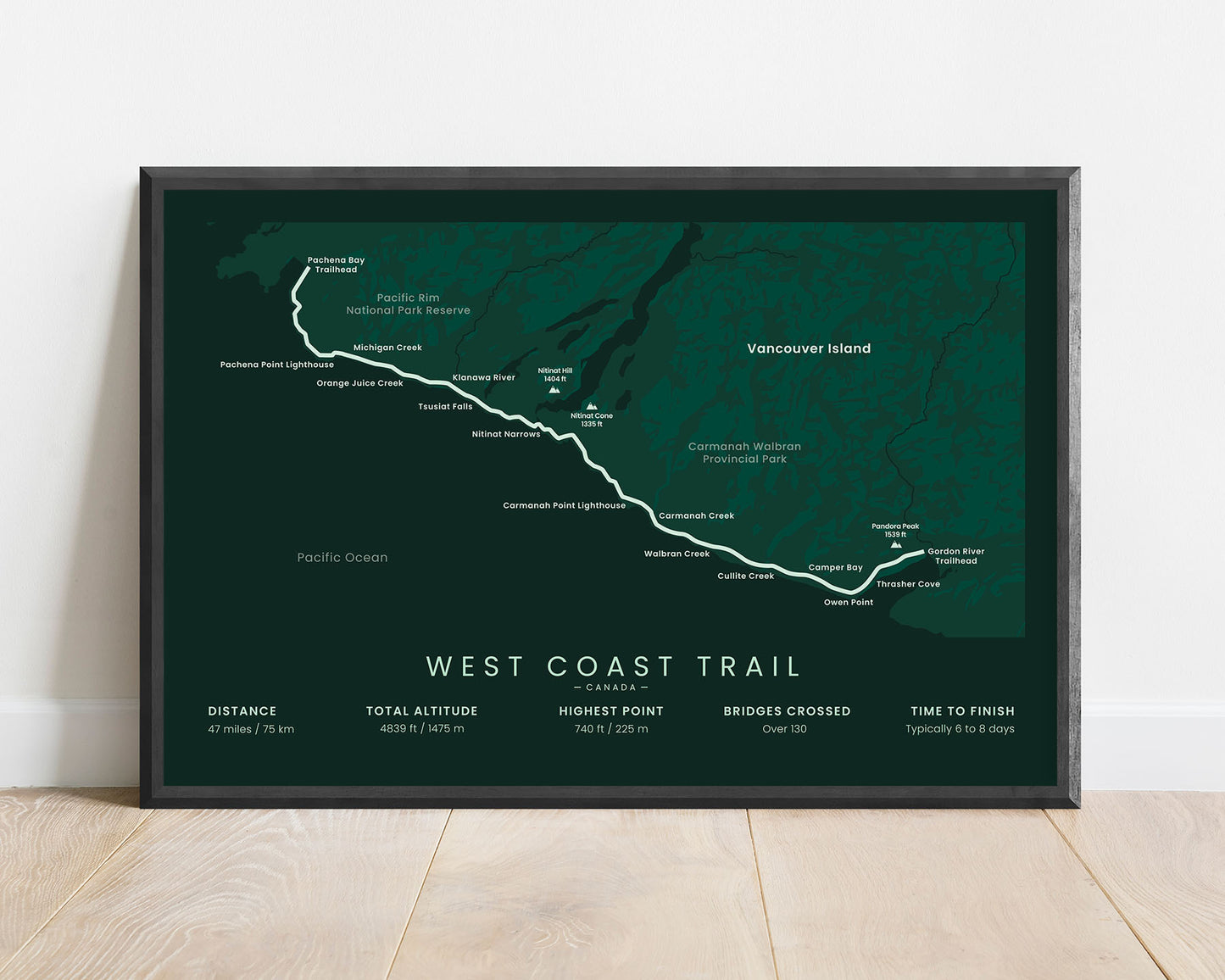


A poster that displays the full map of the west coast trail in British Columbia, Canada. It includes the entire route of the trek, important points of interest along the way, and essential statistics about the trail, like the total distance, the highest point, and more. If you’ve hiked the West Coast Trail yourself or you plan to do that in the future, this minimalist print will be a great way to remember your hike.
About the West Coast Trail
The West Coast Trail (other known as the "Dominion Lifesaving Trail") is a hiking trail that goes across a part of the coastline of Vancouver Island in British Columbia, Canada. It's a very old hiking route, initially used to trade between the coastal towns on Vancouver Island, and to access many shipwrecks that sunk across the coastline. Today, the West Coast Trail is one of the most iconic coastal trails in North America. It's considered to be a fairly difficult hike, even for experienced hikers, because it includes a lot of river crossings, traversing countless man-made ladders and bridges, and poor wind and rain weather conditions. That said, it's also a very rewarding hike, or rather, an adventure because it offers beautiful scenery of the coastline - thick rainforests, perfect beaches, interesting rock formations, and rich wildlife. It's definitely a bucket-list hike if you live in North America.
Statistics About the West Coast Trail
- Start point: Pachena Bay Trailhead, Vancouver Island, British Columbia, Canada
- End point: Gordon River Trailhead, Vancouver Island, British Columbia, Canada
- Total distance: 47 miles / 75 km
- Total altitude gain/loss: 4839 ft / 1475 m
- Highest point: 740 ft / 225 m
- Countries crossed: Canada
- Parks crossed: Pacific Rim National Park Preserve, Carmanah Walbran Provincial Park
- Time to finish: Typically 6 to 8 days
- Best time to hike: June - October


