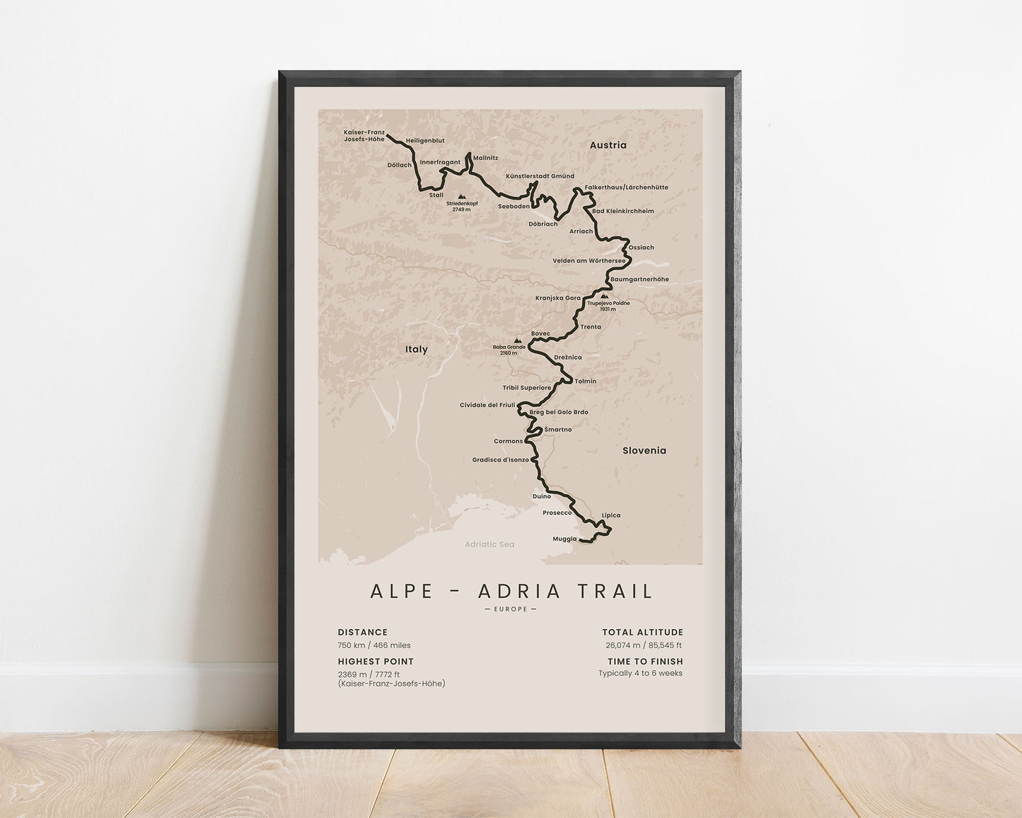
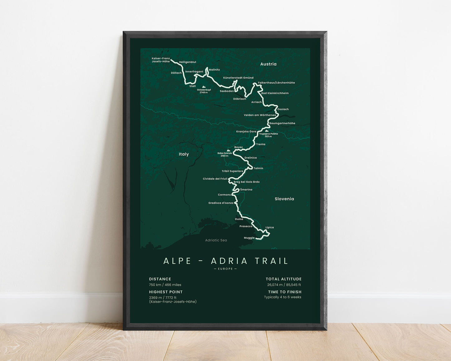
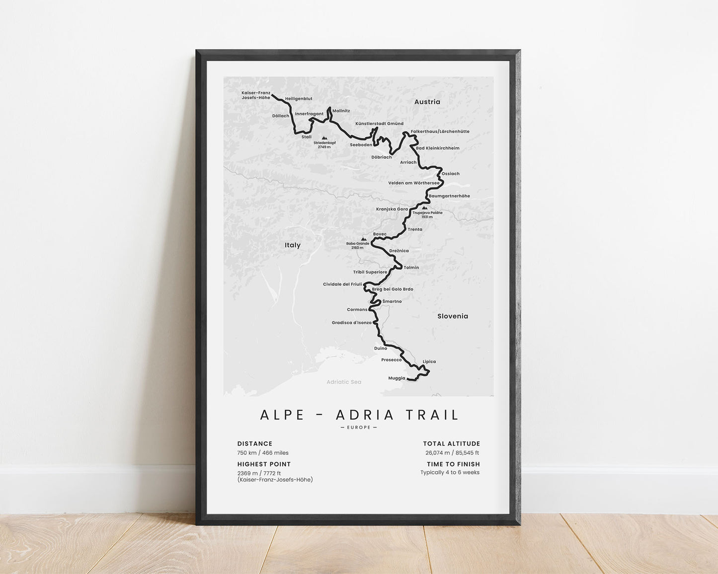
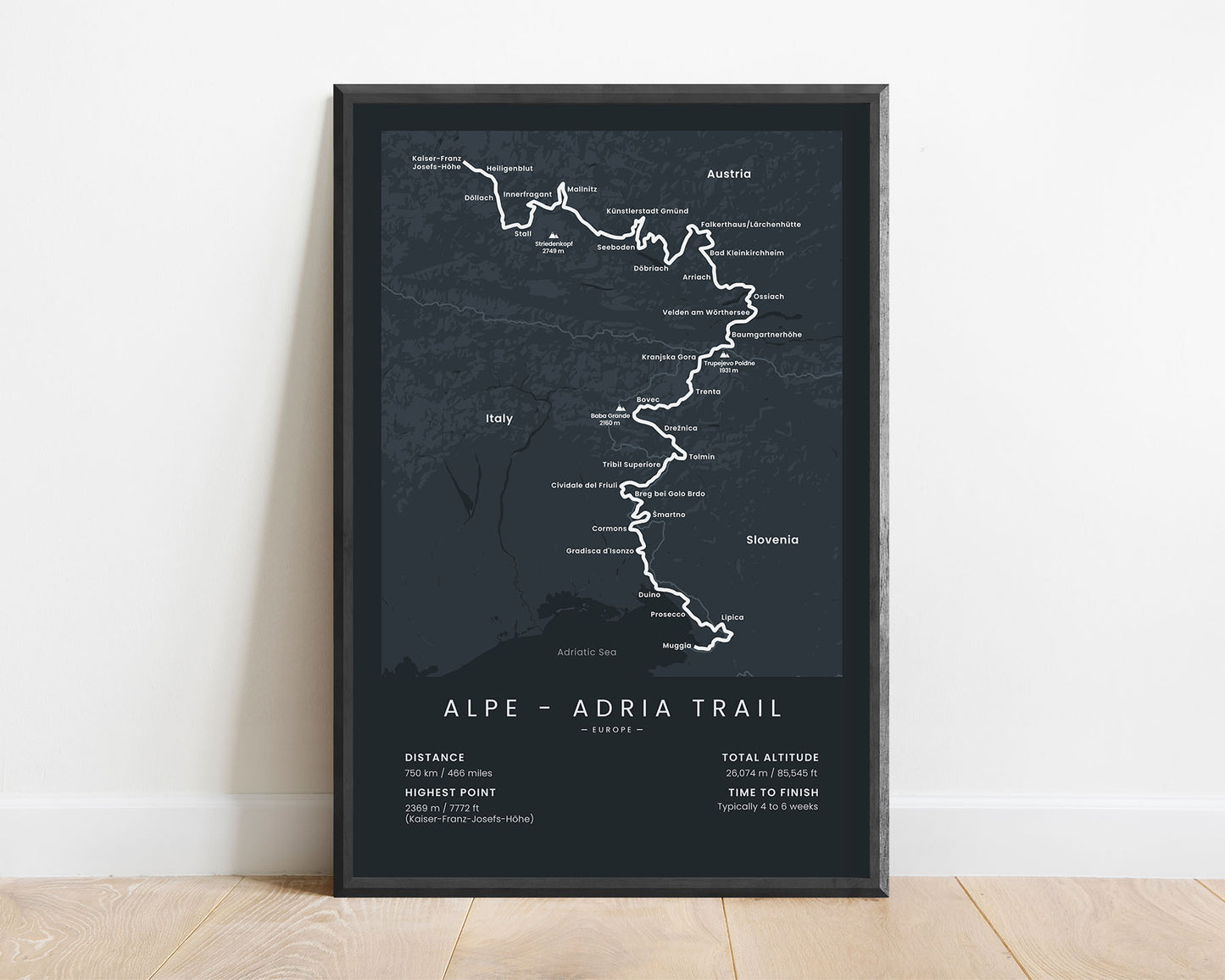
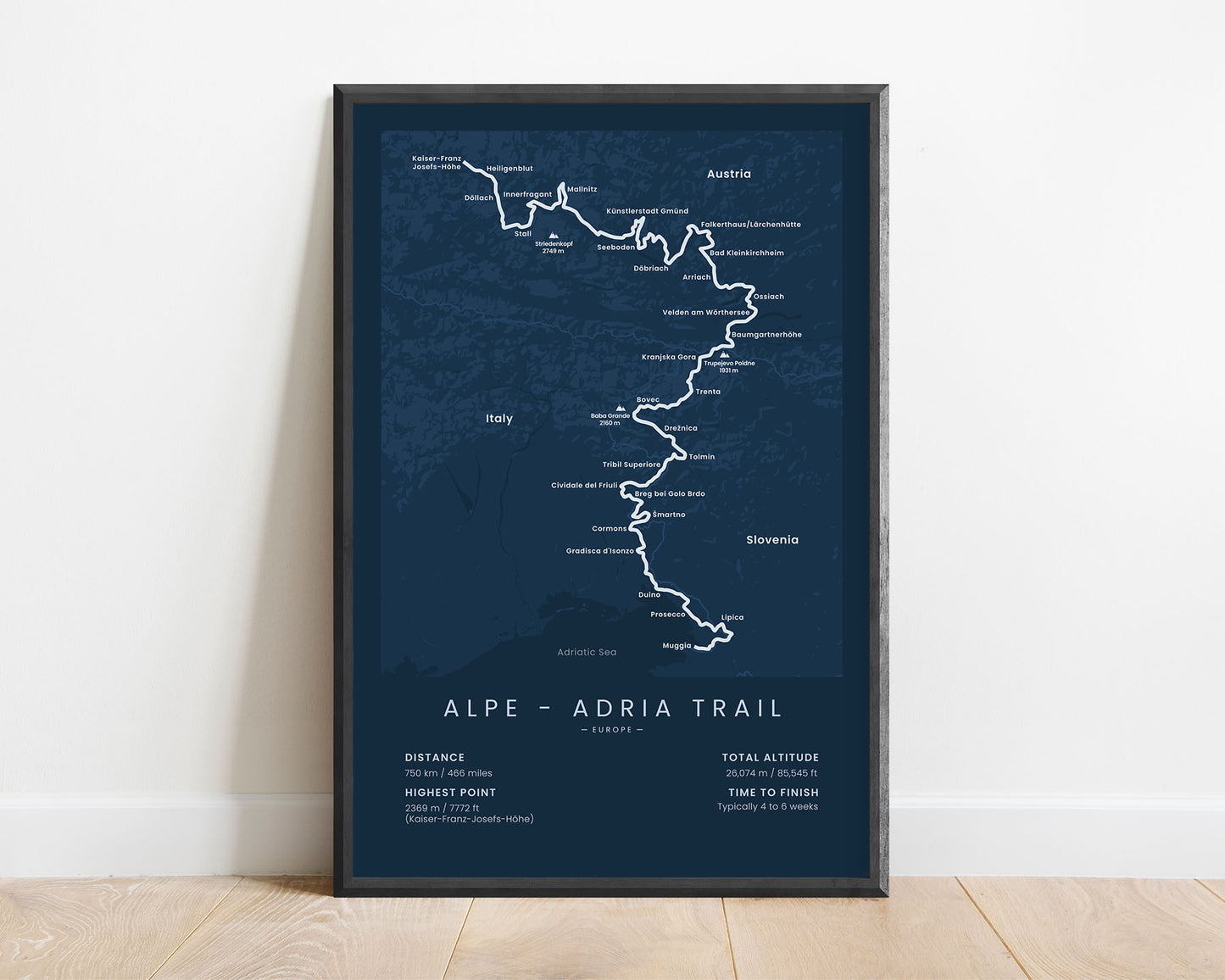


A poster that displays the full route of the Alpe-Adria Trail in Europe. It shows the main cities along the way, the highest peaks (Striedenkopf, Trupejevo Poldne, Baba Grance), a topographical map of the area, the total distance of the trail in imperial and metric measurements, the total altitude, the highest point, and the average time to finish the trail. If you’ve completed the Alpe-Adria Trail or you’re thru-hiking it in sections, then this minimal poster will be a great addition to your home.
About the Alpe-Adria Trail
The Alpe-Adria Trail (in Slovenia often referred to as the Garden of Eden Trail) is a long-distance hiking trail that stretches from the foothills of the highest mountain in Austria (Grossglockner) to the Adriatic Sea in Muggia, Italy. It goes through Austria, Slovenia, and Italy, starting in really high alpine regions and gradually moving down to slower-rolling hills in the south. It's one of the most popular and beautiful thru-hikes in Europe, stretching roughly 750 km in length, with plenty of mountain scenery, thick forests, and even hotter coastal regions. It's considered a fairly difficult hike due to the elevation gain and several difficult sections but is very well-waymarked.
Statistics About the Alpe-Adria Trail
- Start point: Kaiser-France-Josefs Hohe, Austria
- End point: Muggia, Italy
- Total distance: 750 km / 466 miles
- Total altitude gain/loss: 26 074 m / 85 545 ft
- Highest point: 2369 / 7772 ft (Kaiser-Franz-Josefs-Hohe)
- Points of interest: Grossglockner, Tyrol Austrian Alps, Slovenian Alps, Carinthia
- Countries crossed: Austria, Slovenia, Italy
- Time to finish: Typically 4 to 6 weeks


