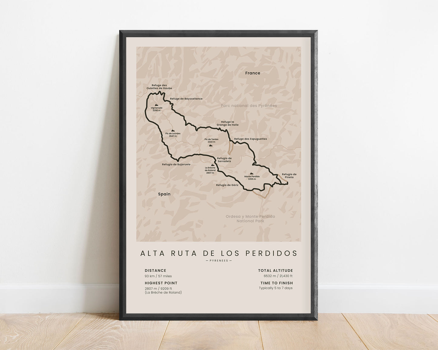
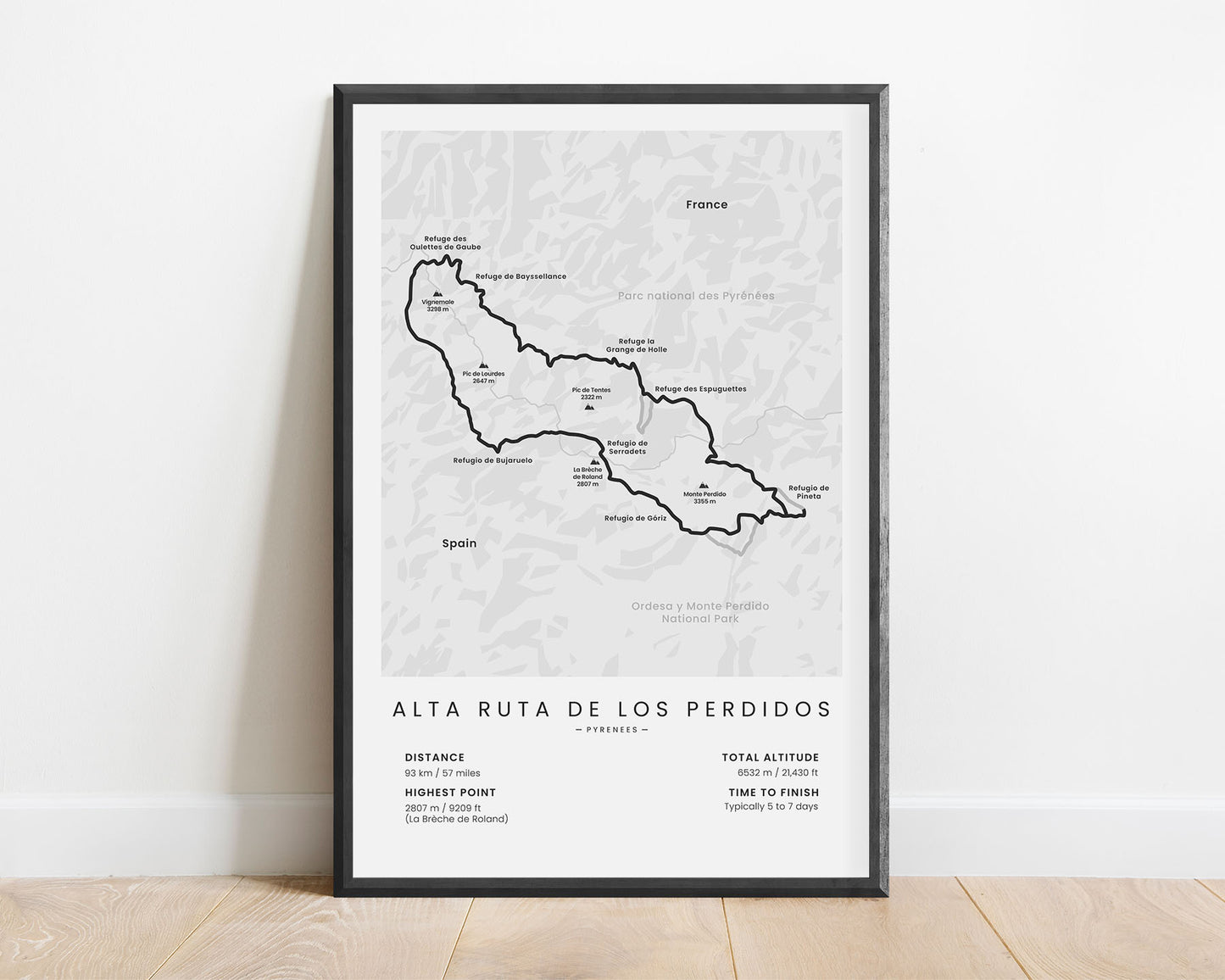
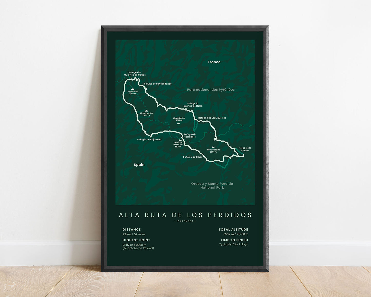
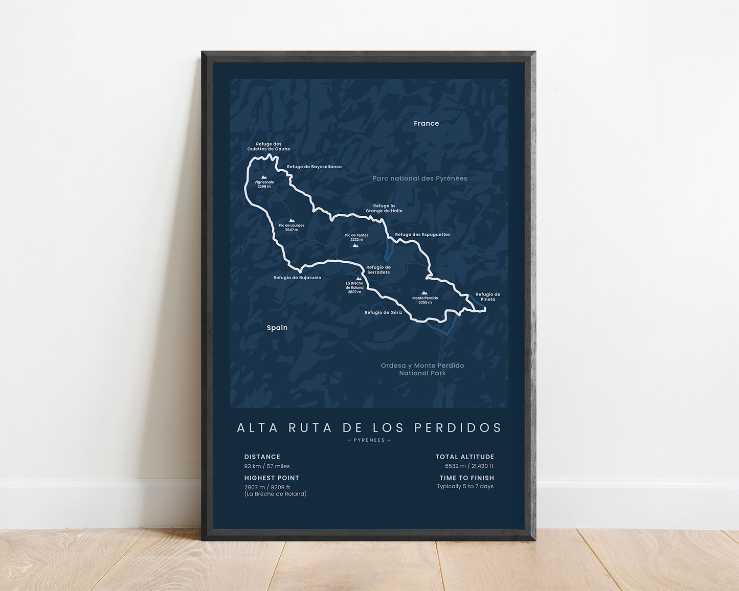
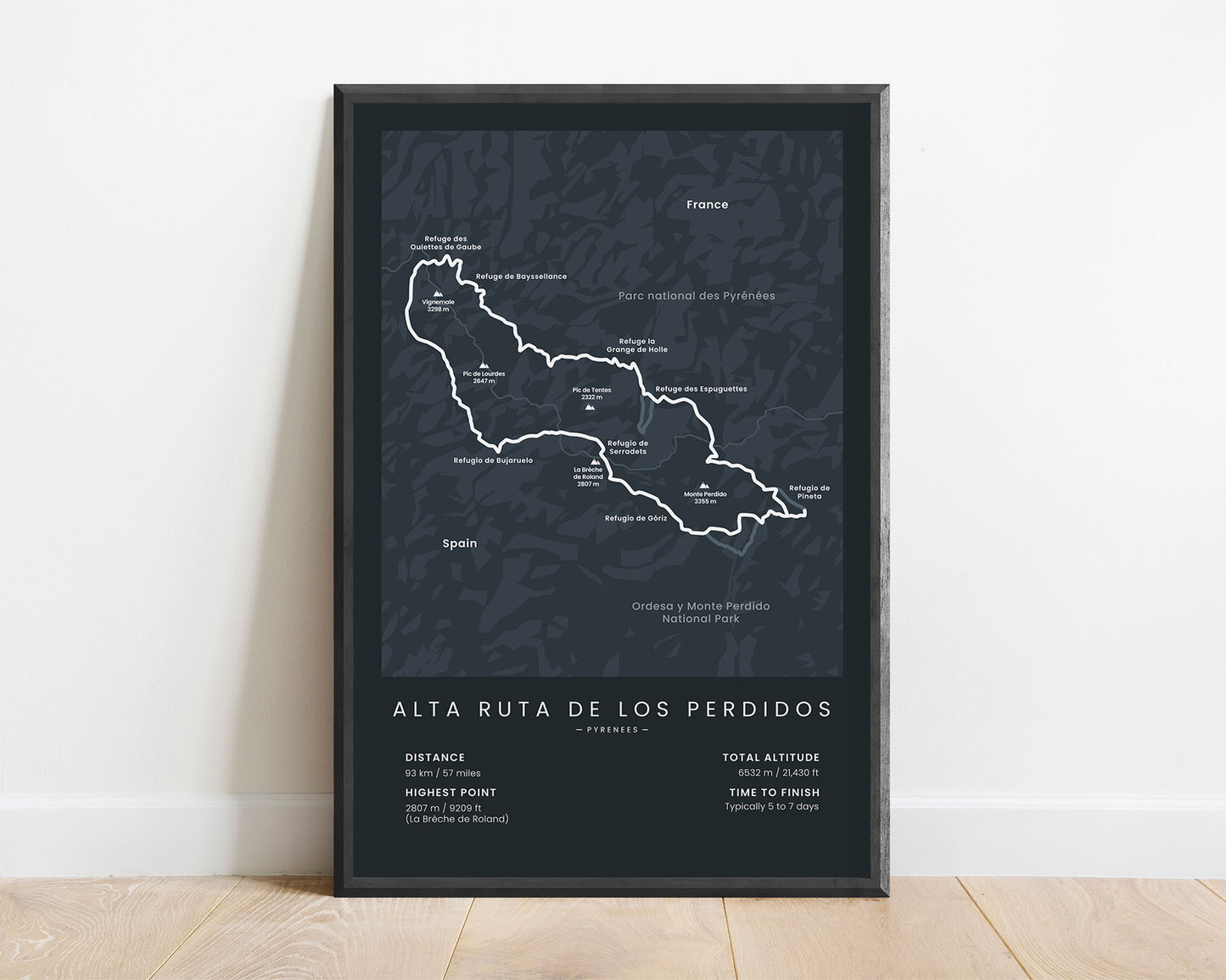
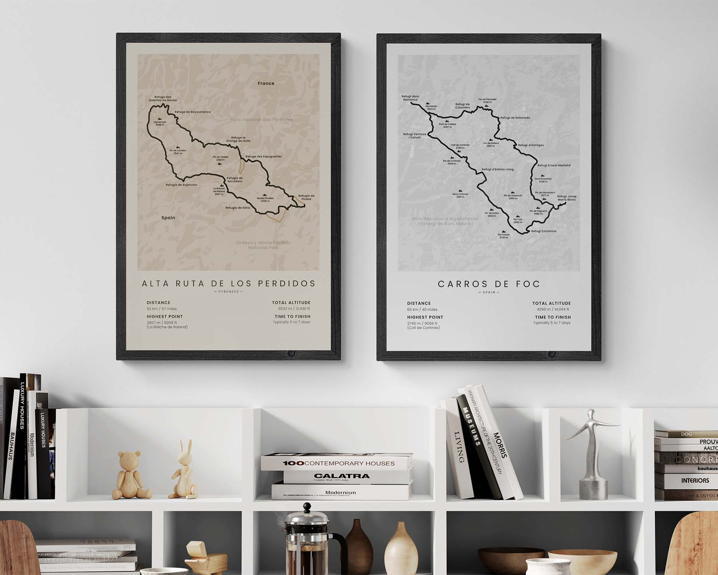


A minimalistic print of the Alta Ruta de los Perdidos hiking trail in the Pyrenees mountains (in France and Spain).
About the Alta Ruta de los Perdidos Trail
The Alta Ruta de los Perdidos is a popular, circular high-altitude hiking trail in the Pyrenees mountains, crossing into Spain and France. It takes you through some of the most beautiful scenery around the Monte Perdido and Vignemale mountain ranges. Usually, people stay in mountain huts (other called "refugio" or "refuge") when hiking this trail, and there are 8 main refugios along this route, all displayed on our map.
Statistics About the Alta Ruta de los Perdidos
- Start and end point: Refugio de Bujaruelo
- Total distance: 93 km / 57 miles
- Total altitude gain/loss: 6532 m / 21 430 ft
- Highest point: 2807 m / 9209 ft (La Brèche de Roland)
- Countries crossed: France, Spain
- Time to finish: Typically 5 to 7 days


