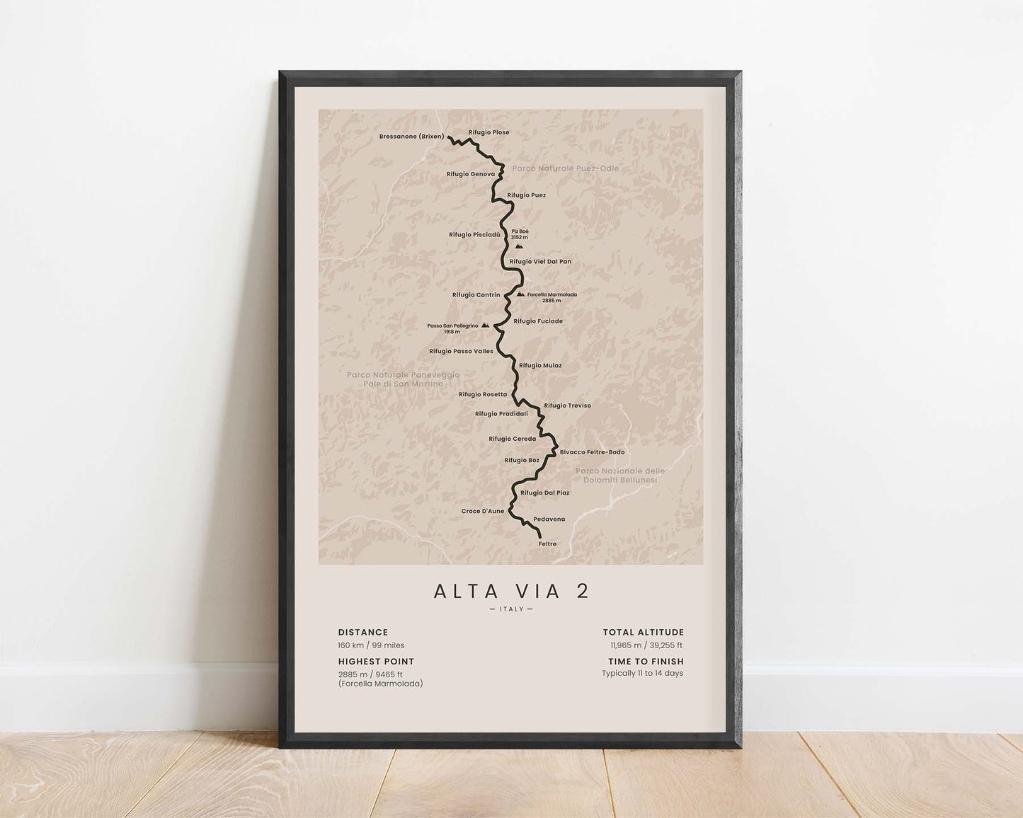
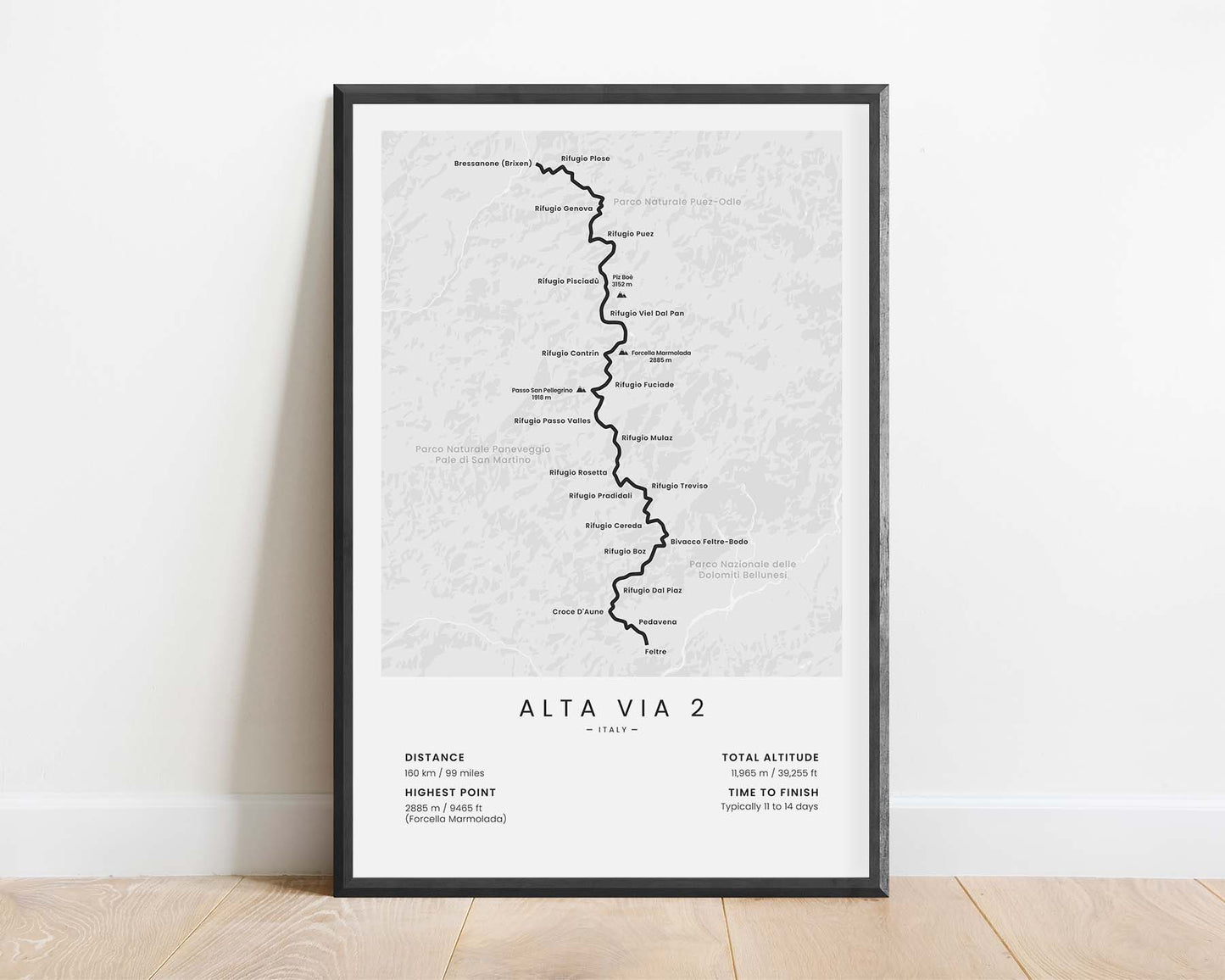
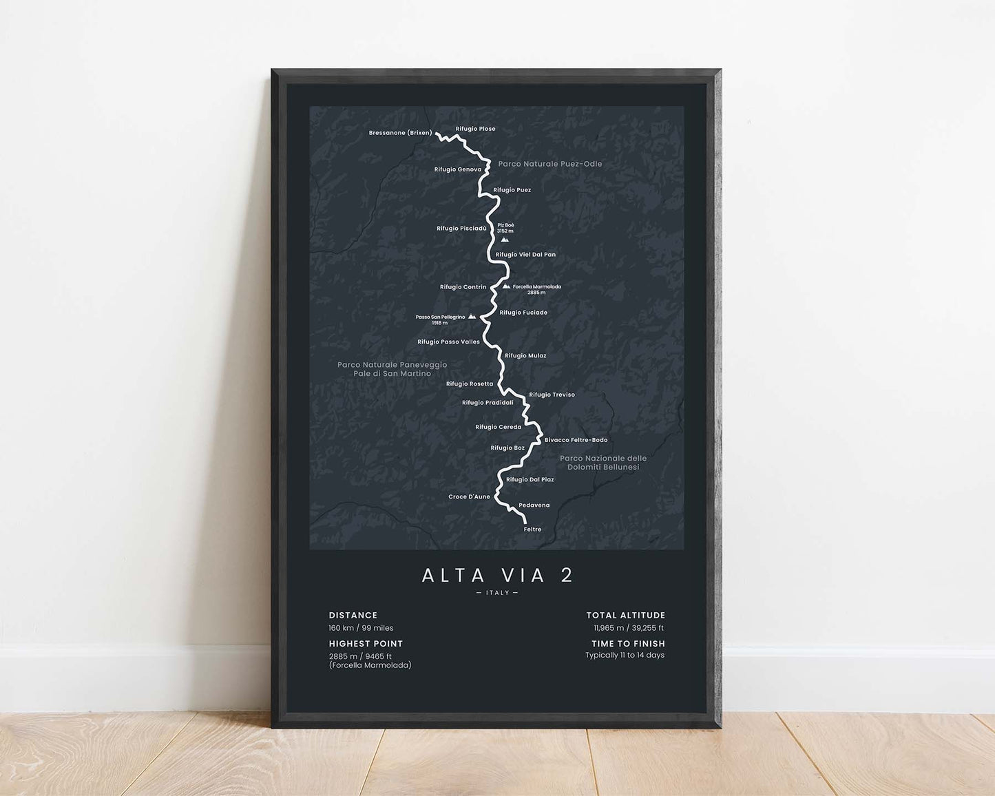
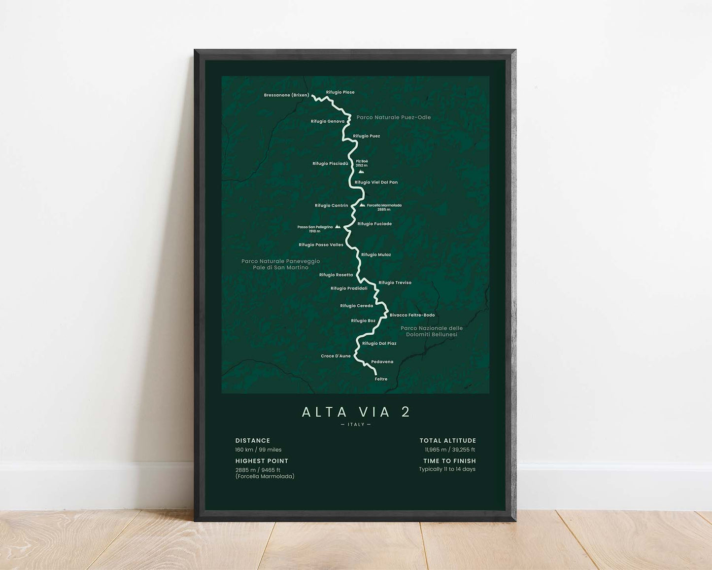
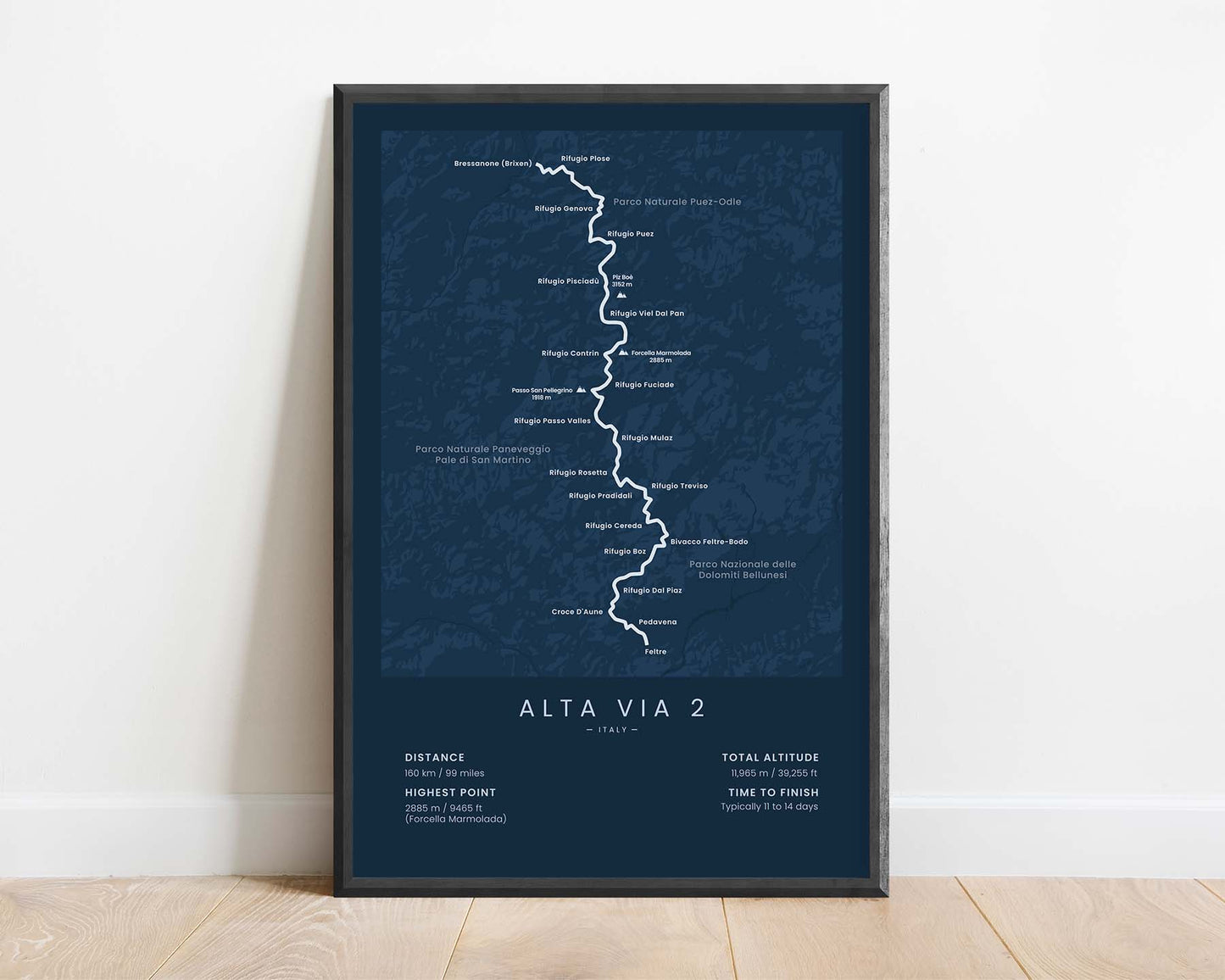



A print that displays a minimal map of the Alta Via 2 hiking trail. It shows a rough topographical map of the area, the key points of interest and cities along the way, and important statistics about the trek at the bottom.
About the Alta Via 2 Hiking Trail
The Alta Via 2 hiking trail, other called AV2 or the Dolomites High Route 2, is a thru-hike that goes across the Dolomites in the Alps, Italy. It starts at Bressanone-Brixen and finishes 160 km further at Feltre. It crosses some of the most beautiful parts of the Dolomites, including many limestone cliffs, deep valleys, fast rivers, and crystal-clear lagoons. Arguably, it's the most spectacular of all of the Alta Via routes.
Statistics About Alta Via 2
- Start point: Bressanone (Brixen), Italy
- End Point: Feltre, Italy
- Total distance: 160 km / 99 miles
- Total altitude gain/loss: 11 965 m / 39 255 ft
- Highest point: 2885 m / 9465 ft (Forcella Marmolada)
- Points of interest: Italy, Dolomites, Alps
- Time to finish: Usually 11-14 days


