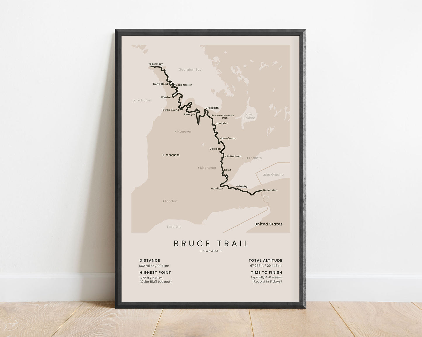
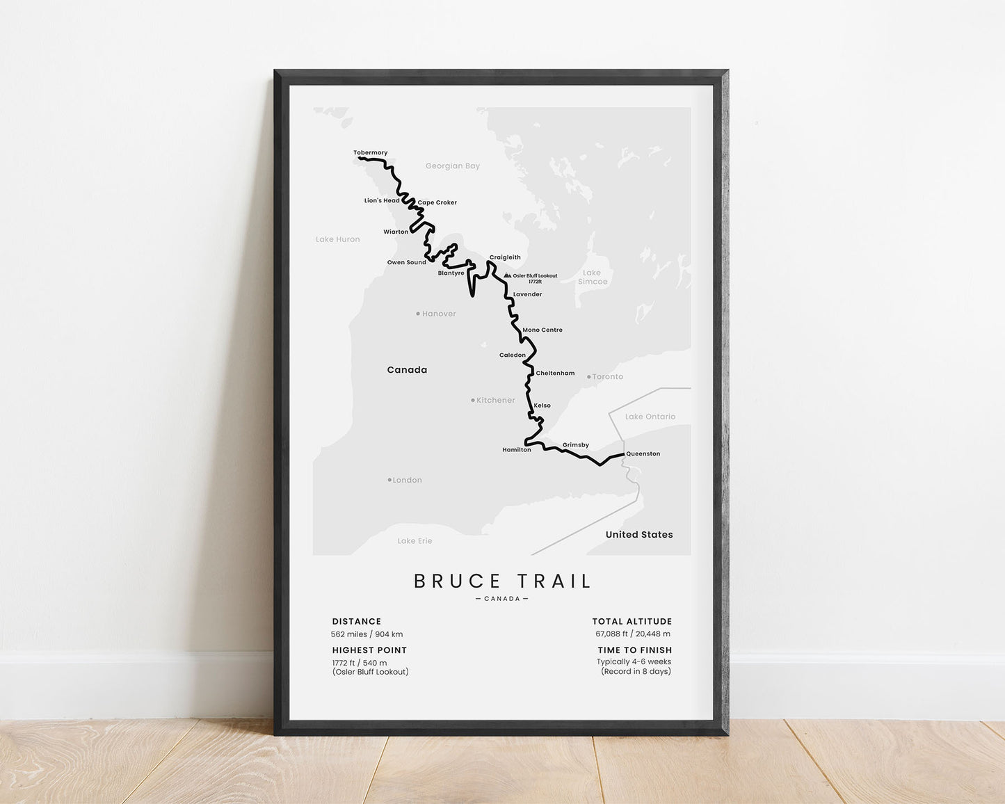
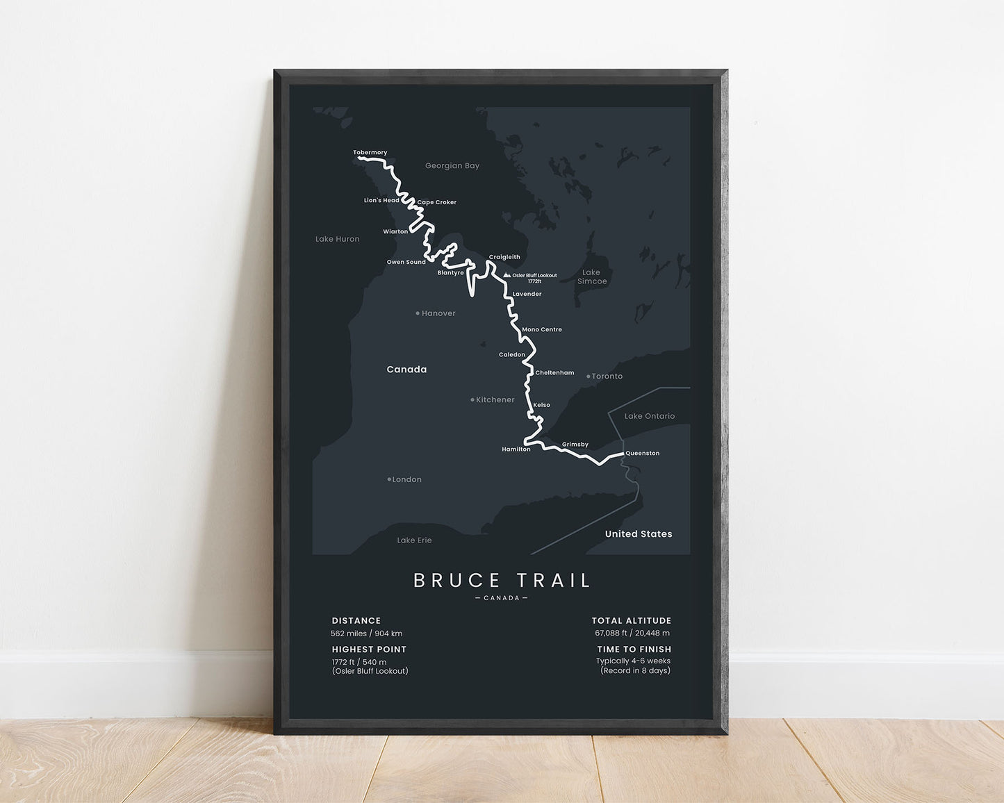
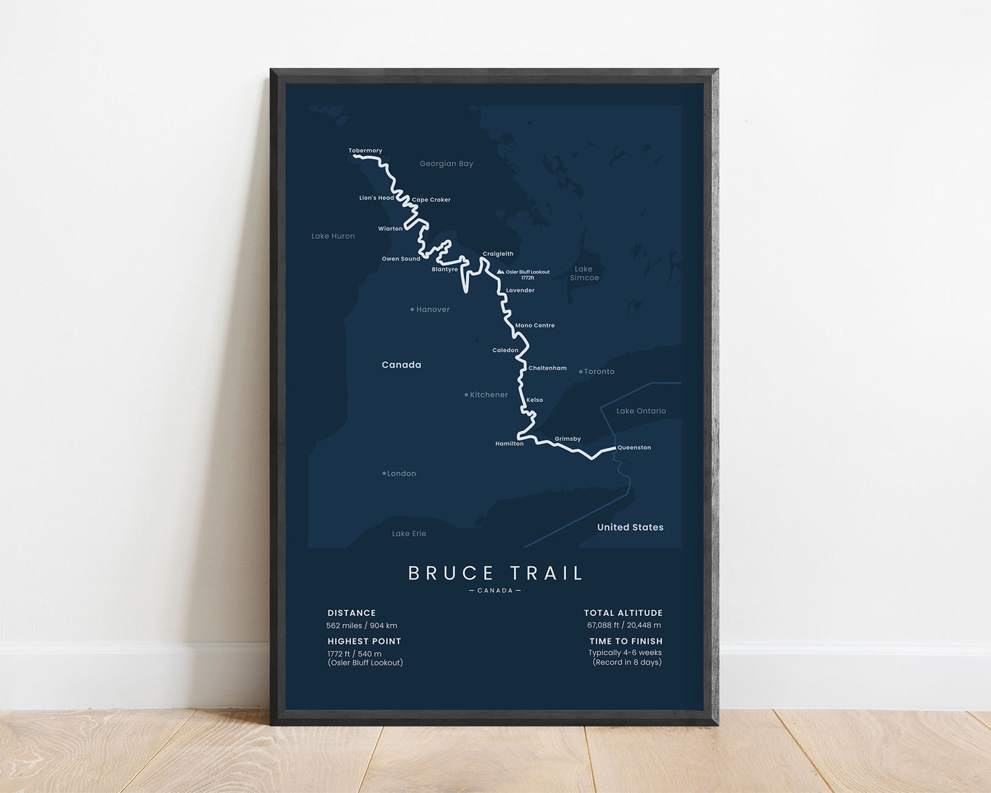
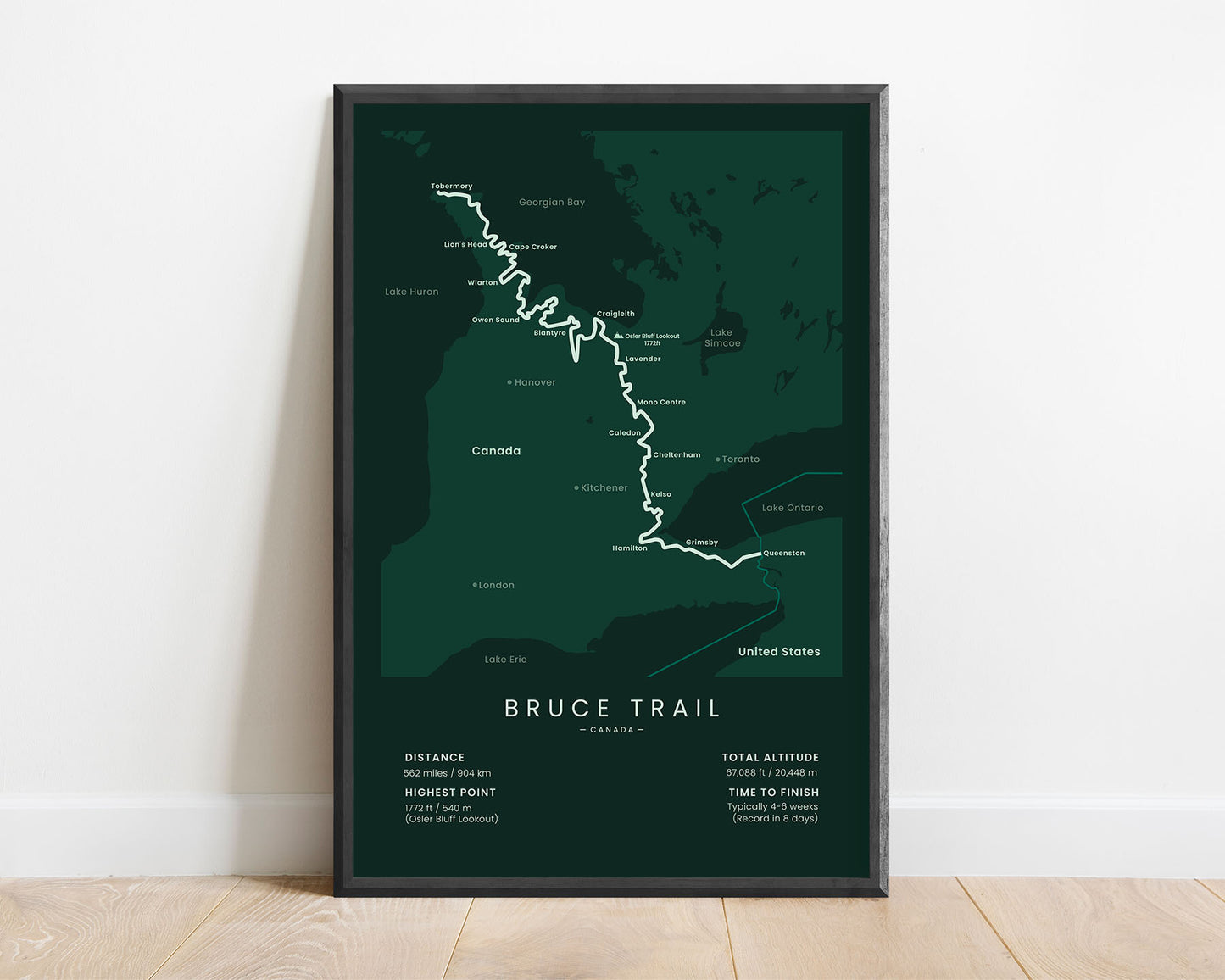

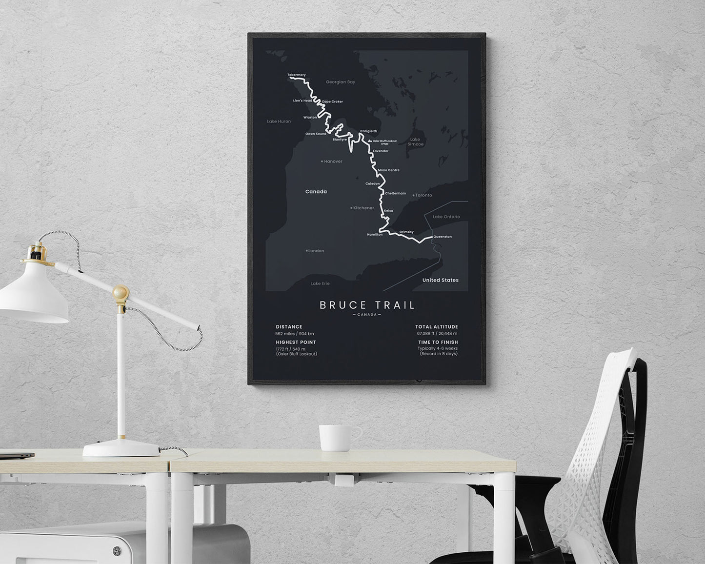

A print of the Bruce Trail in Ontario, Canada. This map shows the full route of the trail, cities, peaks, and lakes along the way, and the main statistics about the trail, like the total distance, elevation gain, highest point, and so on. It’s offered in minimal color options to fit most interiors and will be a great interior piece to showcase that you’ve finished the trail.
About the Bruce Trail
The Bruce Trail is one of Canada's most popular thru hiking trails. It starts at Queenston, near the Niagra River, and then follows the Niagra Escarpment all the way up to Tobermory, Canada. It's the longest waymarked hiking trail in Canada (The Great Divide Trail is longer, but not fully waymarked). It's so popular because it's one of the oldest hiking trails in Canada and it offers spectacular scenery, including countless waterfalls, rivers, streams, dense forests, limestone cliffs, and rich wildlife.
Statistics About the Bruce Trail
- Start point: Queenston, Ontario, United States / Canada border
- End point: Tobermory, Ontario, Canada
- Total distance: 562 miles / 904 km
- Total altitude gain/loss: 67 088 ft / 20 448 m
- Highest point: 1172 ft / 540 m (Osler Bluff Lookout)
- Countries crossed: Canada
- States Crossed: Ontario
- Time to finish: Usually 4 - 6 weeks
- Record finish time: 8 days
- Best time to hike: May - September


