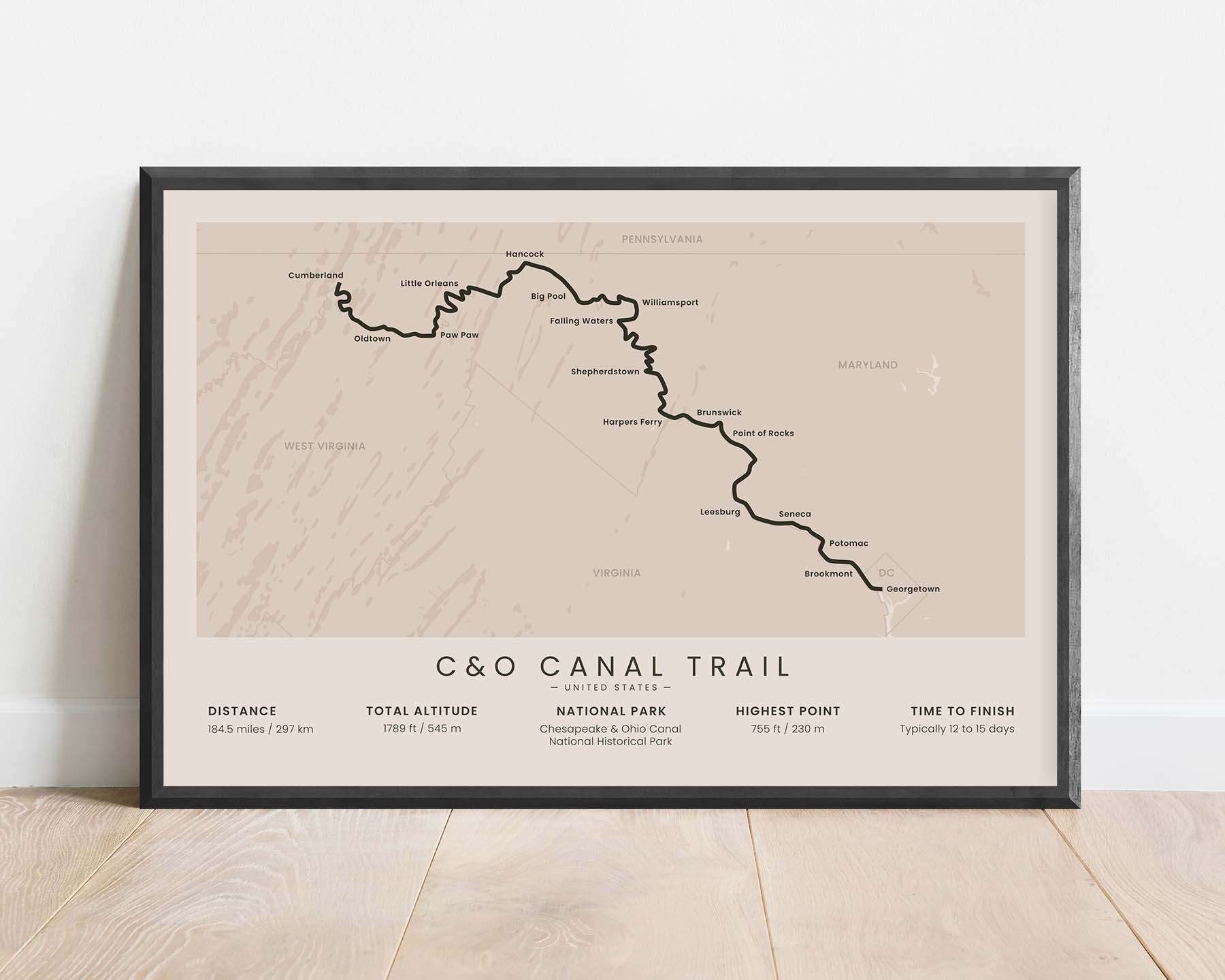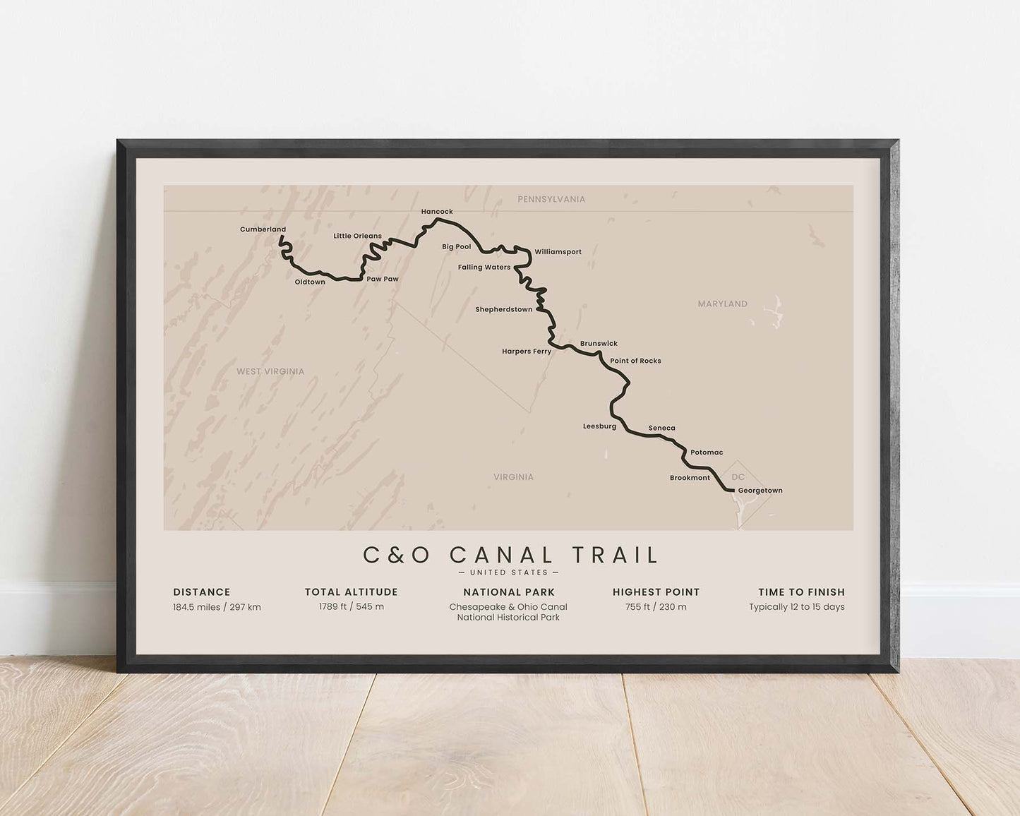
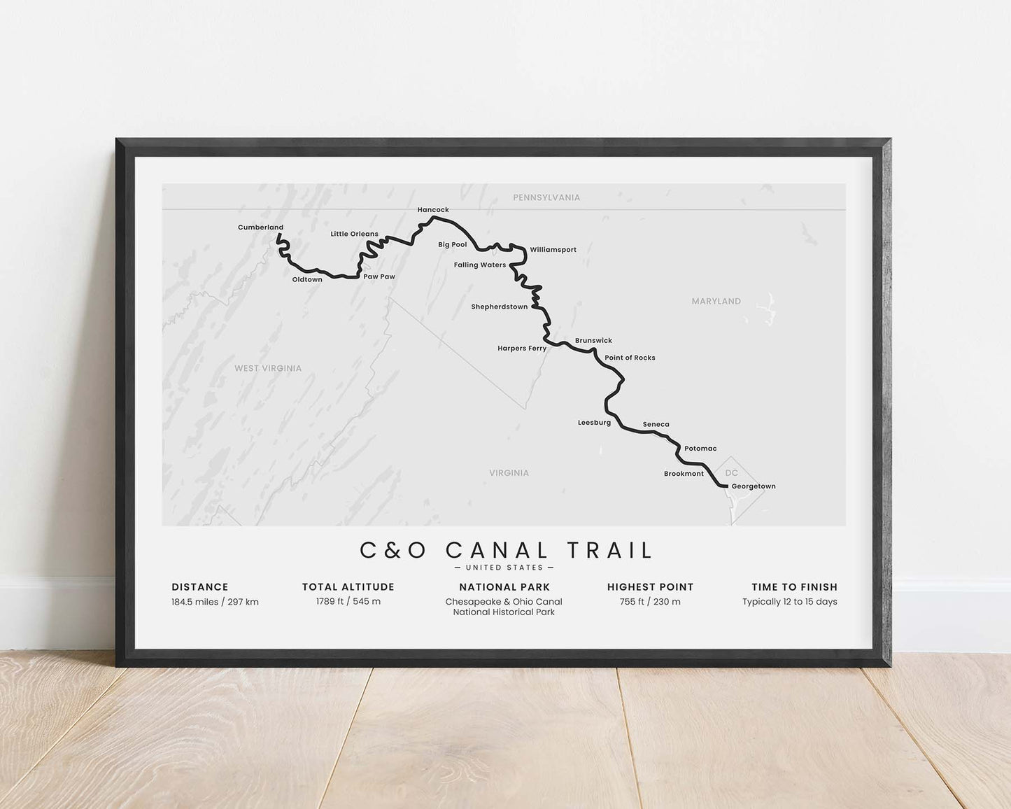
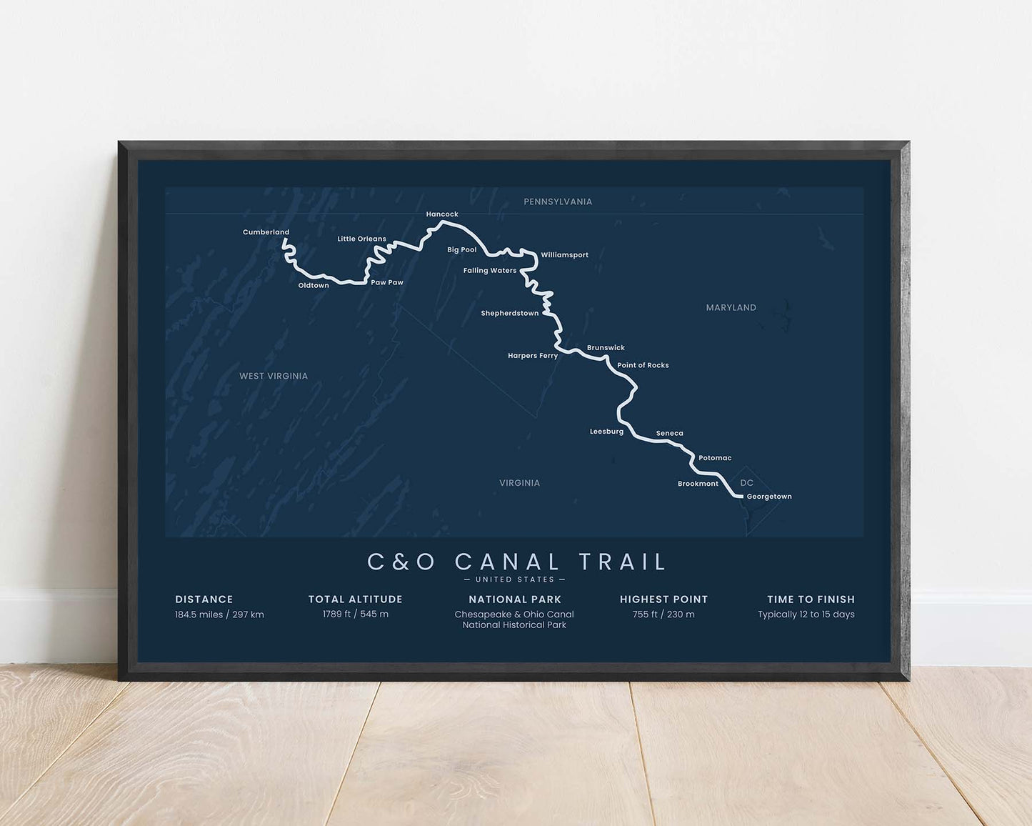
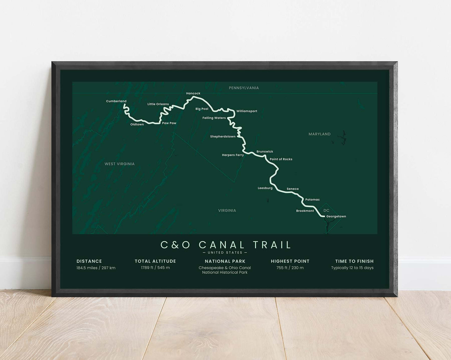
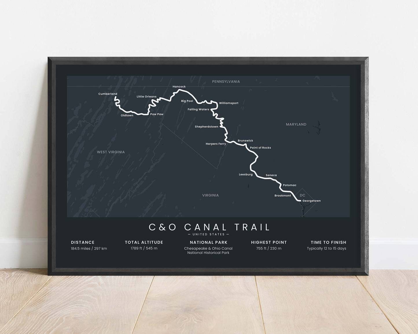


A minimal print of the C&O Canal Hiking Trail in Maryland, United States. It shows a map of the main route along the canal, key cities and points of interest, and statistics about the trek at the bottom. If you've completed the C&O Canal Trail, then this print will be a great addition to your home.
About the Chesapeake and Ohio Canal Trail
The C&O Canal Trail (also called C&O Canal Towpath or Chesapeake and Ohio Canal Trail) is a long-distance hiking trail in Maryland, United States. It's situated directly on an old canal that used to run from Georgetown, Washington to Cumberland along the Potomac River. Many people hike and bikepack it every year - usually in sections. While hiking it, you'll also likely pass into West Virginia and Virginia, because it runs right along the state border.
Statistics About the C&O Canal Trail
- Start point: Georgetown, Washington DC
- End Point: Cumberland, Maryland
- Total distance: 184.5 miles / 297 km
- Total altitude gain/loss: 1789 ft / 545 m
- Highest point: 755 ft / 230 m
- Time to finish: Typically 12 to 15 days
- States crossed: Maryland

