


A topographic print of the Camino Frances pilgrimage. It shows a topographic elevation map of the Camino Frances hiking trail on the top, and on the bottom an elevation profile of it, together with meaningful points of interest.
About the Camino Frances Trail
The Camino Frances - often called the French Way - is the most iconic and widely traveled route of the Camino de Santiago pilgrimage. Beginning in the French town of Saint-Jean-Pied-de-Port and ending at the cathedral of Santiago de Compostela, it spans diverse landscapes over roughly 800 kilometers. Pilgrims cross the dramatic Pyrenees, wander through the vineyards of La Rioja, traverse the vast plains of the Meseta, and pass through medieval cities such as Pamplona, Burgos, and León. Along the way, they encounter centuries-old churches, monasteries, and UNESCO-listed sites that reflect the route’s deep religious and cultural legacy. Known for its strong infrastructure, vibrant pilgrim community, and rich traditions, the Camino Francés offers a blend of natural beauty, history, and shared experience that has drawn travelers for over a thousand years.
Important: There are multiple Camino de Santiago Routes. So if you're buying this print as a gift, make sure that you're buying the correct one! You'll find a list of all the routes that we've covered over here.
Statistics About the French Way Pilgrimage
- Start point: Saint Jean Pied de Port, France
- End point: Santiago de Compostela, Spain
- Total distance: 784 km / 487 miles
- Total altitude gain/loss: 11,500 m / 37,730 ft
- Highest point: 1504 m / 4934 ft (Cruz De Ferro)
- Countries crossed: France, Spain
- Regions Crossed: Nouvelle-Aquitaine, Navarra, La Rioja, Castile and Leon, Galicia
- Time to finish: Typically 30-45 days

High Quality Matte Prints
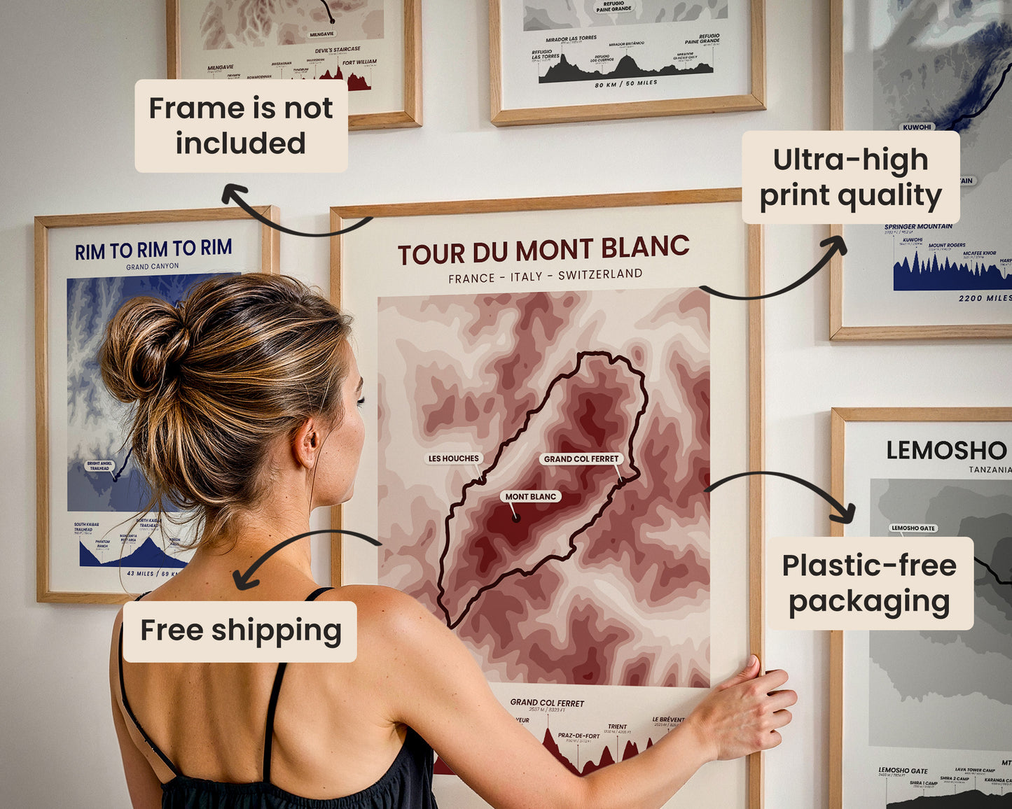
Our posters are manufactured using ultra high definition printers with very rich and vivid colors. They're printed on thick, 189 g/m² matte paper sourced from Japan.

Plastic-Free Packaging
Our prints are shipped in cardboard triangles instead of typical tubes. This is better for the enviroment, because no plastic is used in the packaging.

The Right Size & Color for You
Our sizes are offered in imperical and metrical measurements, so it's easier for you to find the right frame locally.

Free Shipping With 2+ Posters
Save money by adding another poster to your cart (maybe as a gift for one of your friends or close relative), and get free shipping, even on international orders.

No Import Fees*
We have fulfillment locations in the United States, Canada, the United Kingdom, Spain, and Latvia. They're always manufactured from the closest one to your shipping address, so you can avoid paying import tax, get quicker deliveries, and reduce your carbon footprint.

30-day Satisfaction Guarantee
If, for whatever reason, you change your mind, we accept returns within 30 days of the delivery date.