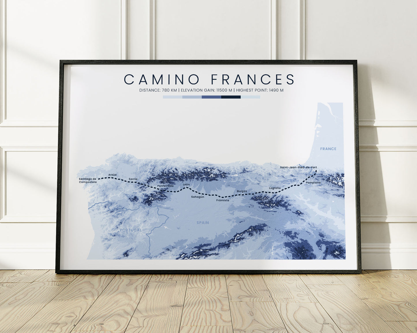
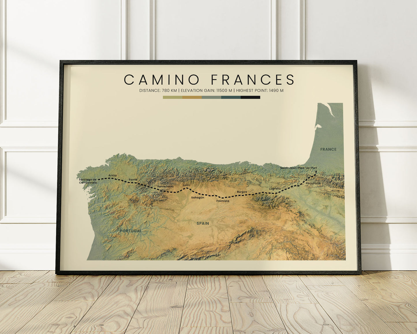
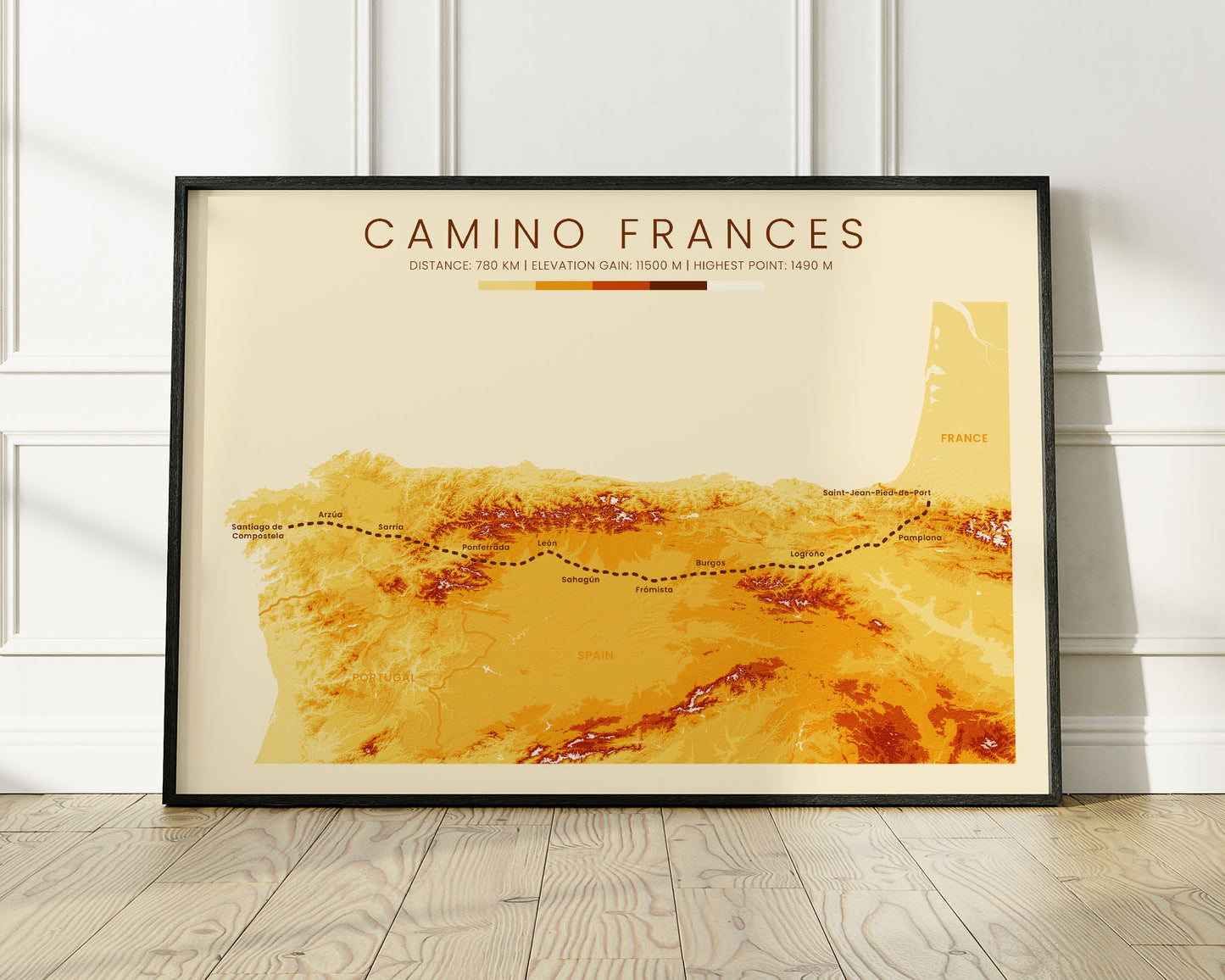
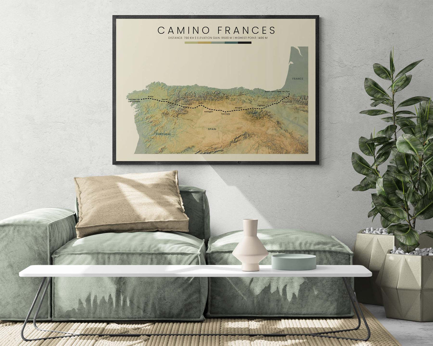

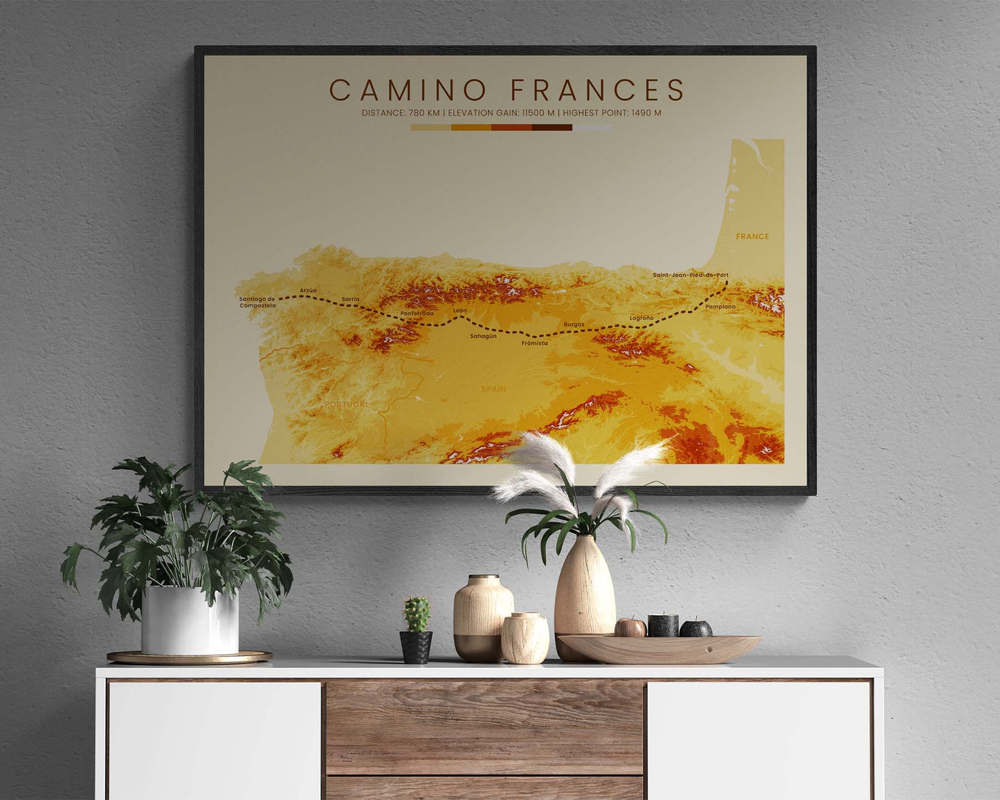
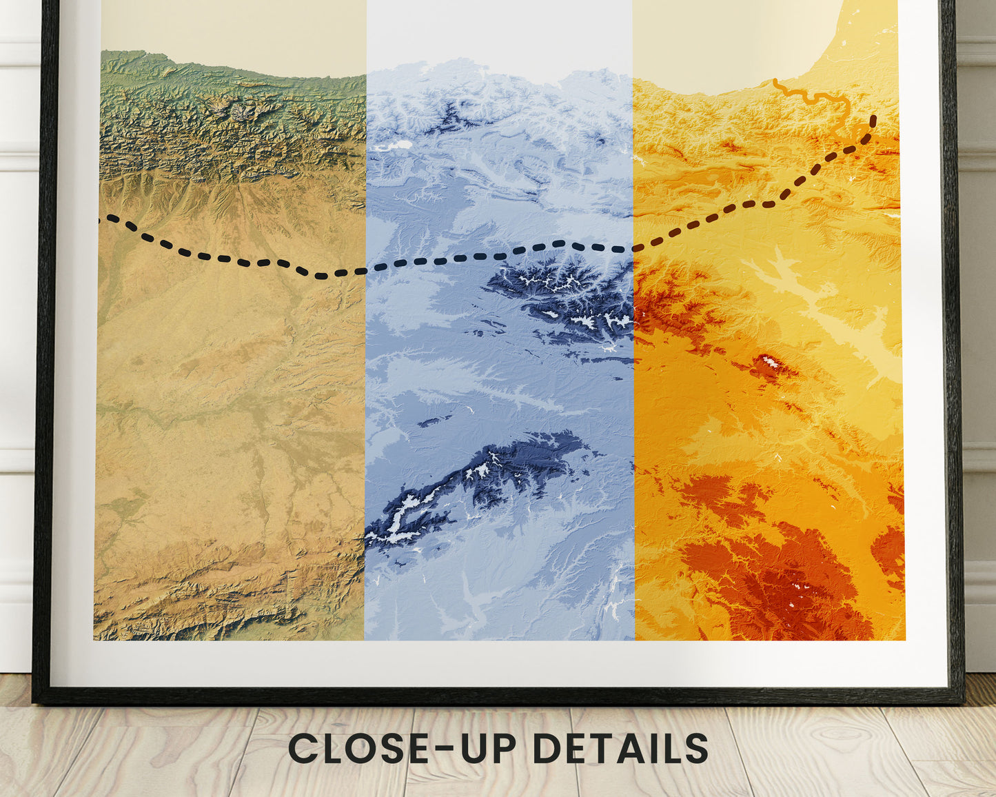

A poster that displays a topographic map of the Camino Frances pilgrimage. It's made using open-source satellite elevation data from NASA and other international agencies and then transformed into unique artwork using software. It's offered in three color options - Minimal Blue, Vintage Orange, and Realistic Blue - to fit into most interiors. If you've completed the Camino Frances thru-hike, then this geological contour map poster will be a great way to remember your adventure.
About the Camino Frances Trail
Camino Frances, also called The French Way, is the most popular route of the Camino de Santiago pilgrimage. It's also one of the longest ones, starting at Saint-Jean-Pied-de-Port, France, and ending at Santiago de Compostela, Spain. When hiking Camino Frances, you'll see a lot of the rural Spanish countryside, a lot of historical and religious sites, and also some spectacular views of the Pyrenees and other smaller mountain ranges.
Important: There are multiple Camino de Santiago Routes. So if you're buying this print as a gift, make sure that you're buying the correct one! You'll find a list of all the routes that we've covered over here.
Statistics About the French Way Pilgrimage
- Start point: Saint Jean Pied de Port, France
- End point: Santiago de Compostela, Spain
- Total distance: 487 miles / 784 km
- Total altitude gain/loss: 37 730 ft / 11 500 m
- Highest point: 4888 ft / 1490 m (Cruz De Ferro)
- Countries crossed: France, Spain
- Regions Crossed: Nouvelle-Aquitaine, Navarra, La Rioja, Castile and Leon, Galicia
- Time to finish: Usually 30-45 days


