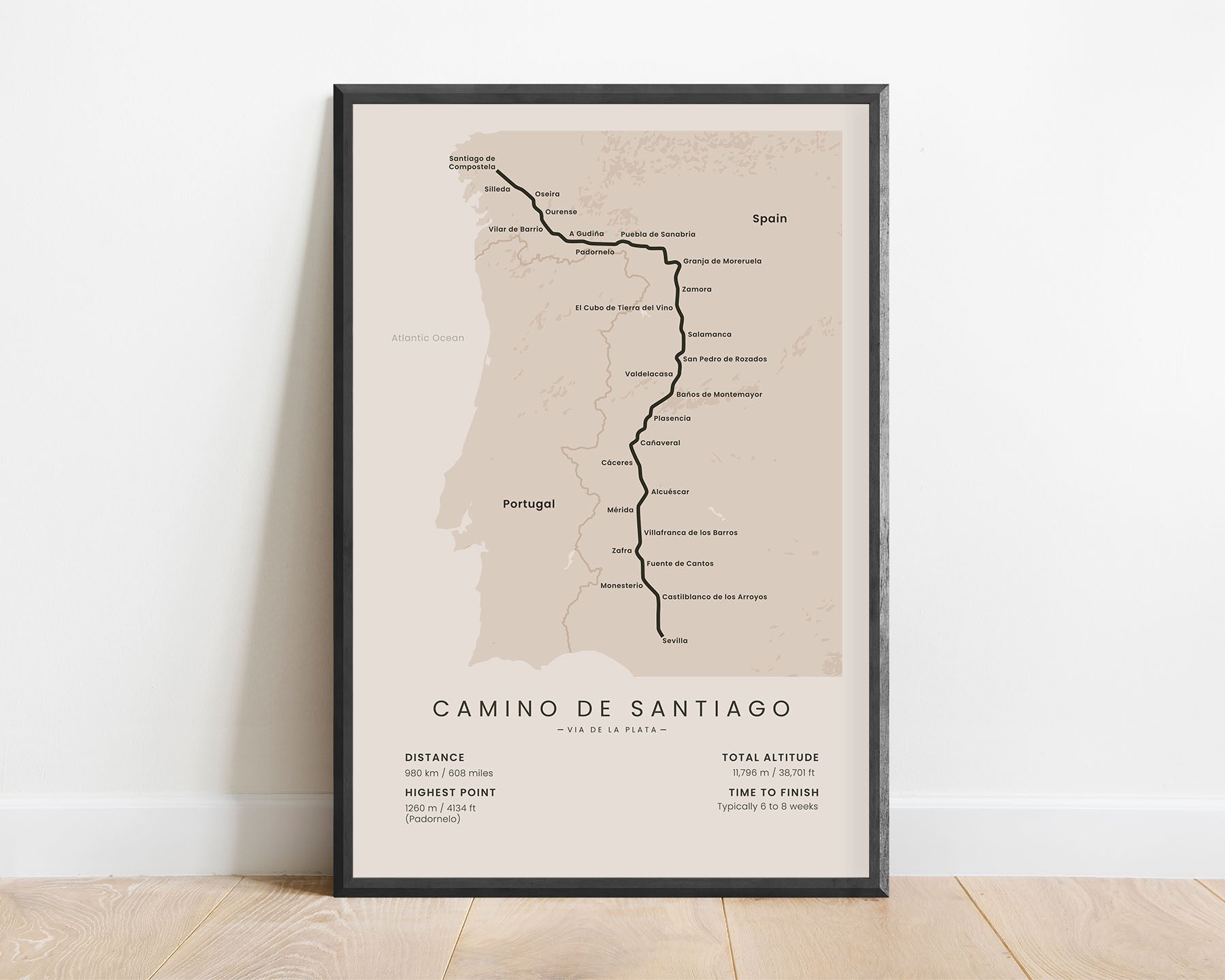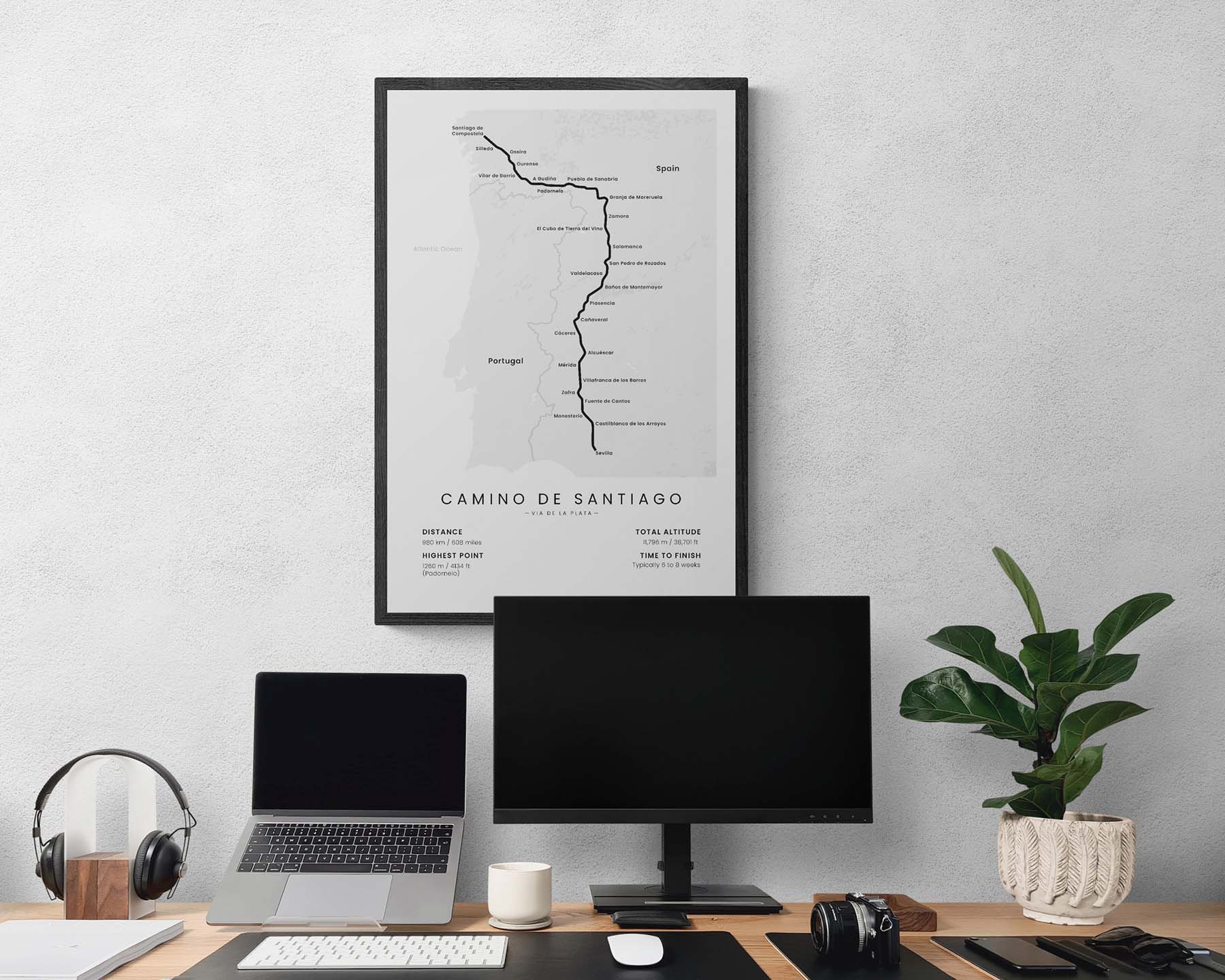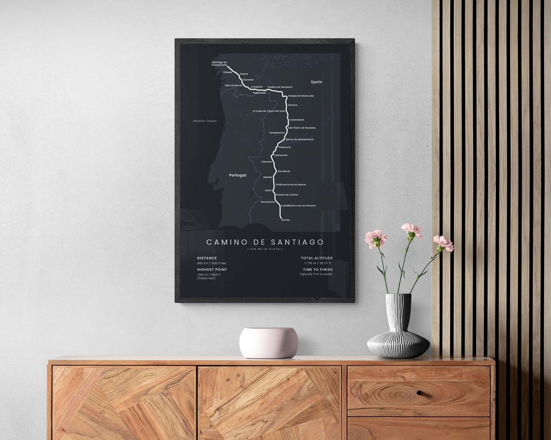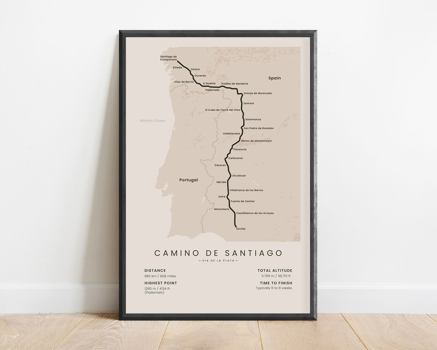
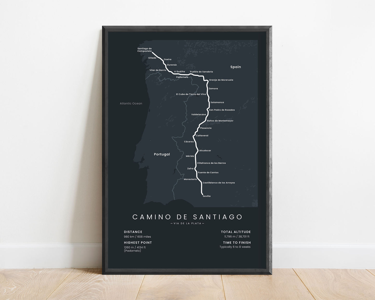
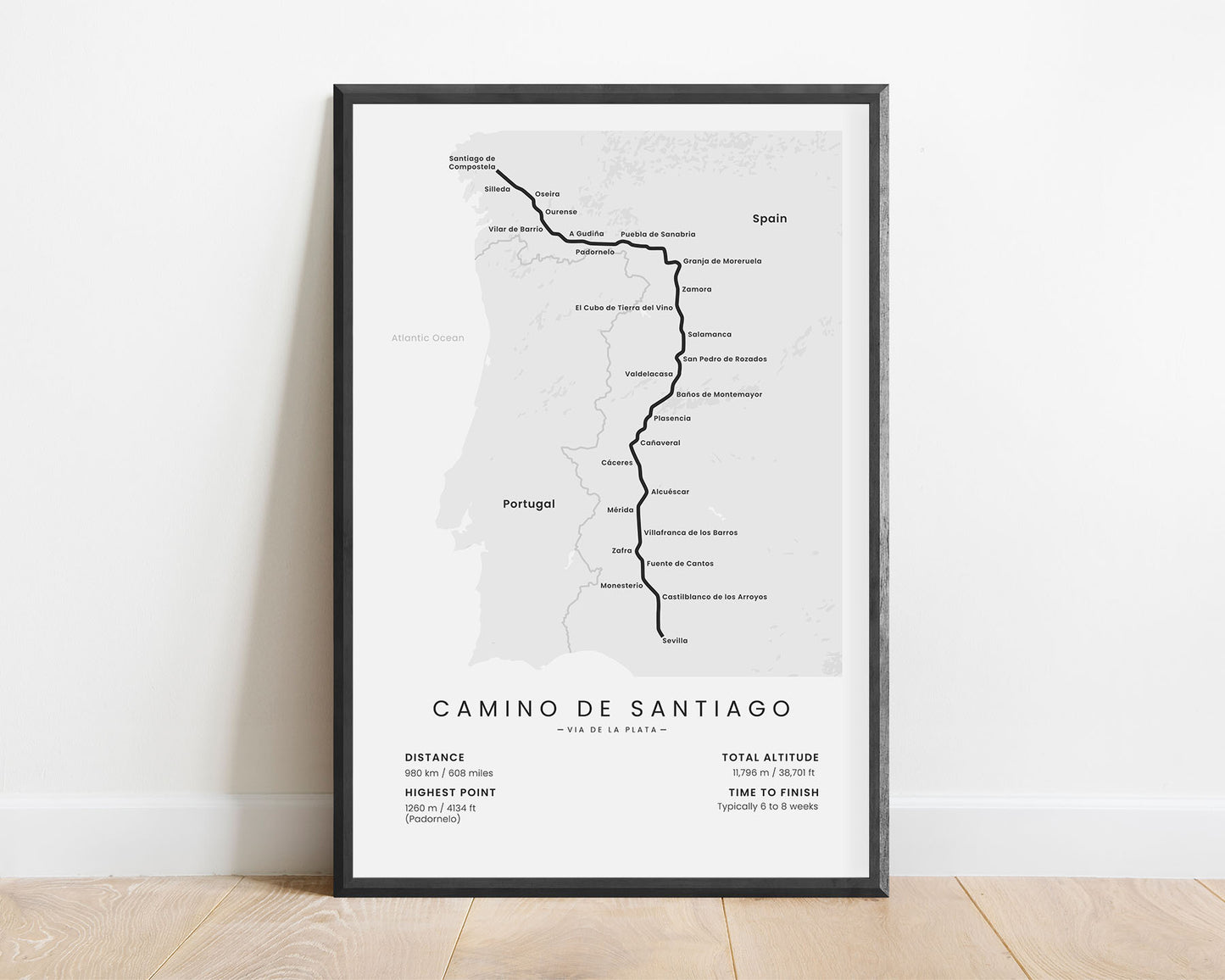
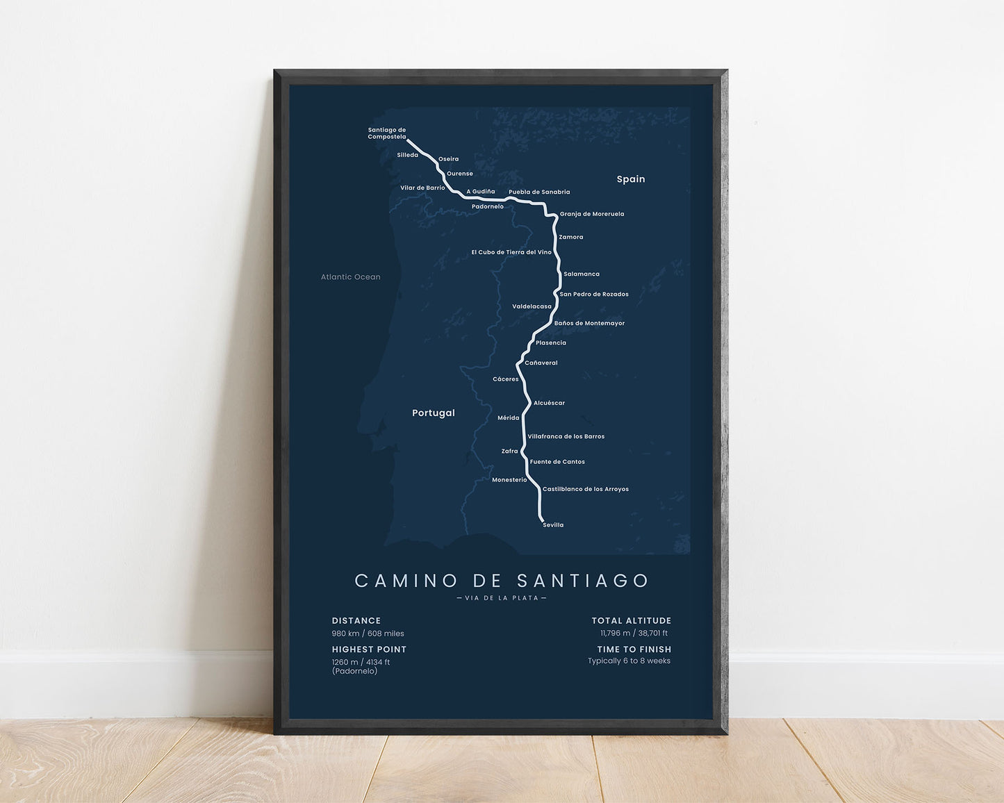
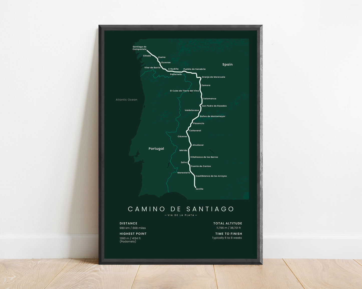
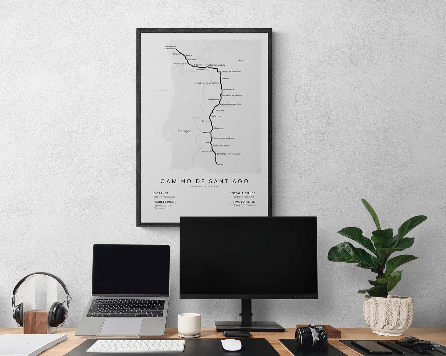
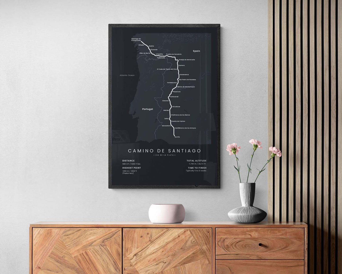

A minimalist print of the Camino Via de la Plata pilgrimage, which shows the full map of the route, main cities, rough topography, the total distance of the trail, total altitude, highest point, and the average time to finish. You’ll find that it’s offered in multiple different color and size options, so you can choose a poster that perfectly fits your individual interior. Only the poster itself is shipped without the frame to reduce the shipping costs.
About the Camino Via de la Plata
The Camino Via de la Plata (other known as the Silver Way) is the longest Camino de Santiago (other known as the Way of Saint James) hiking route in Spain. It starts in Seville, Andalucia, then heads almost 1000 km through the rural part of Spain, and finally ends at Santiago de Compostela. It's much less popular than the Camino Frances route, mainly because it's very long, it goes through smaller mountains, and during the summer, it's difficult to complete due to high temperatures and no proximity of water. But if you want to experience true rural Spain, then Camino Via de la Plata is definitely the best route to choose. It can also be completed in early spring, late autumn, and even winter.
Important: There are multiple Camino de Santiago Routes. So if you're buying this print as a gift, make sure that you're buying the correct one! You'll find a list of all the routes that we've covered over here.
Statistics About Camino Via de la Plata
- Start point: Sevilla, Spain
- End point: Santiago de Compostela, Spain
- Total distance: 980 km / 608 miles
- Total altitude gain/loss: 11 796 m / 38 701 ft
- Highest point: 1260 m / 4134 ft (Padornelo)
- Countries crossed: Spain
- Regions crossed: Andalucia, Extremadura, Castilla y León, Galicia
- Time to finish: Usually 6-8 weeks
- Best time to hike: April - November

