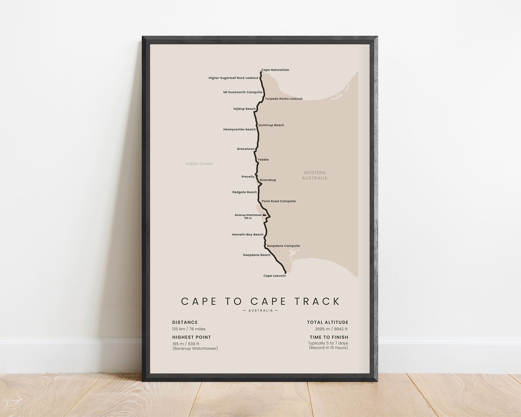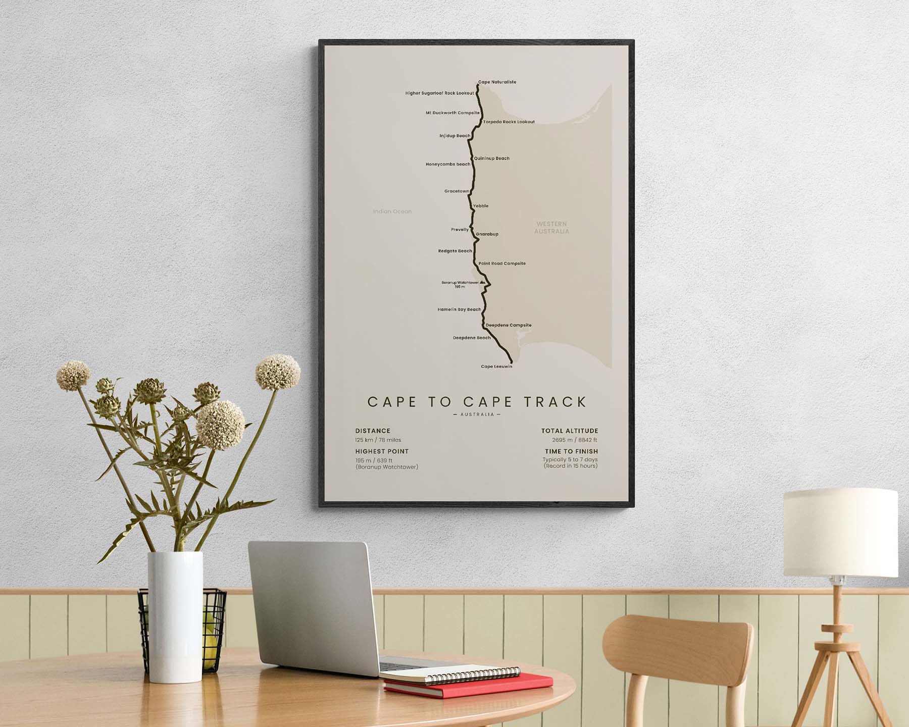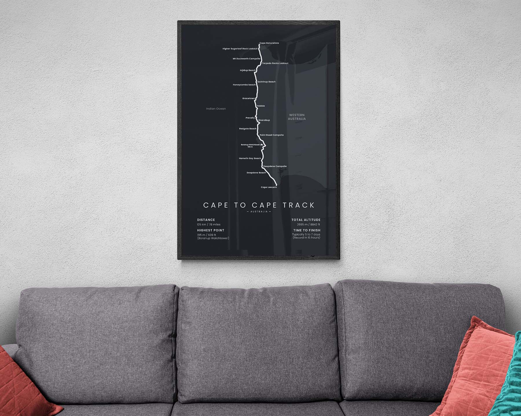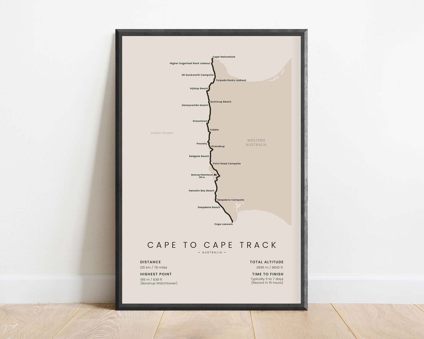
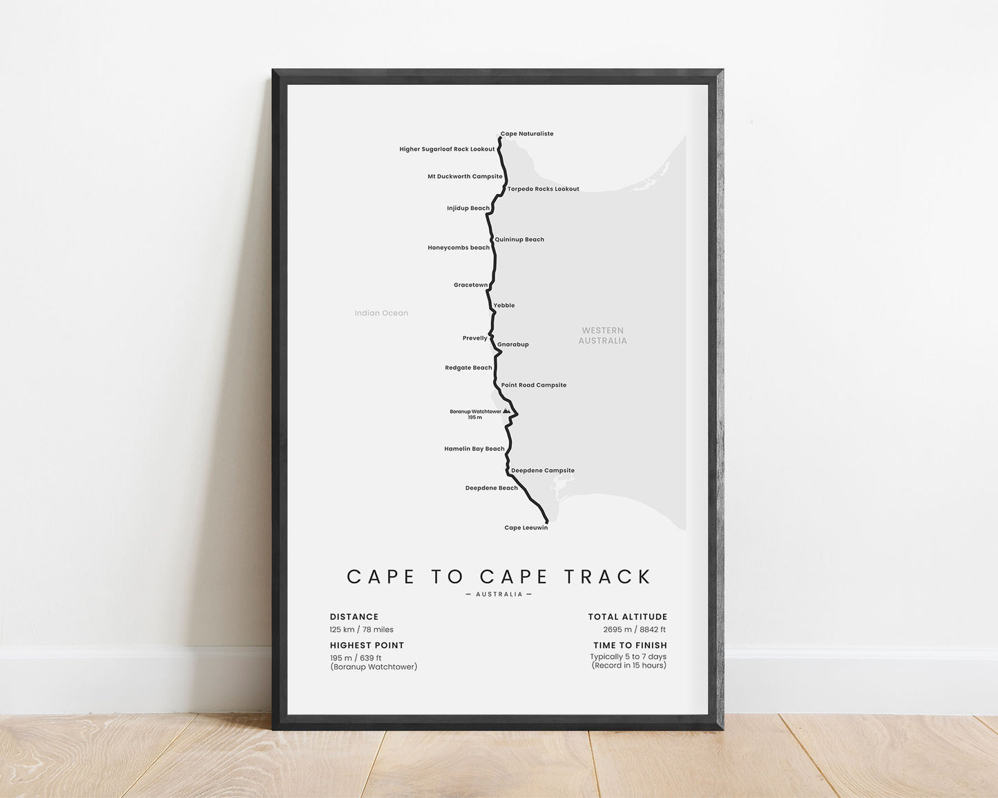
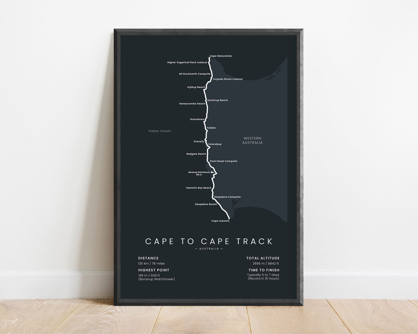
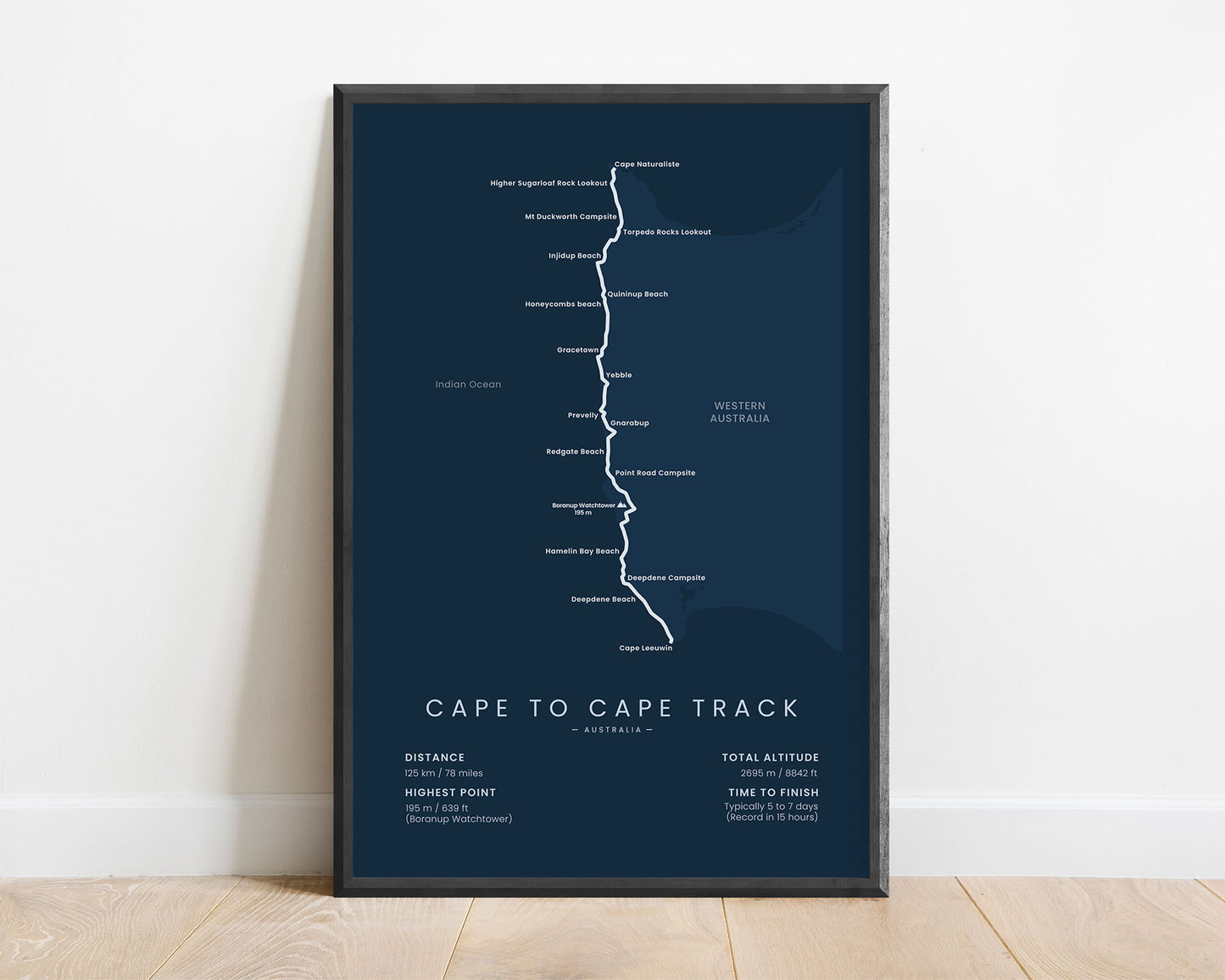
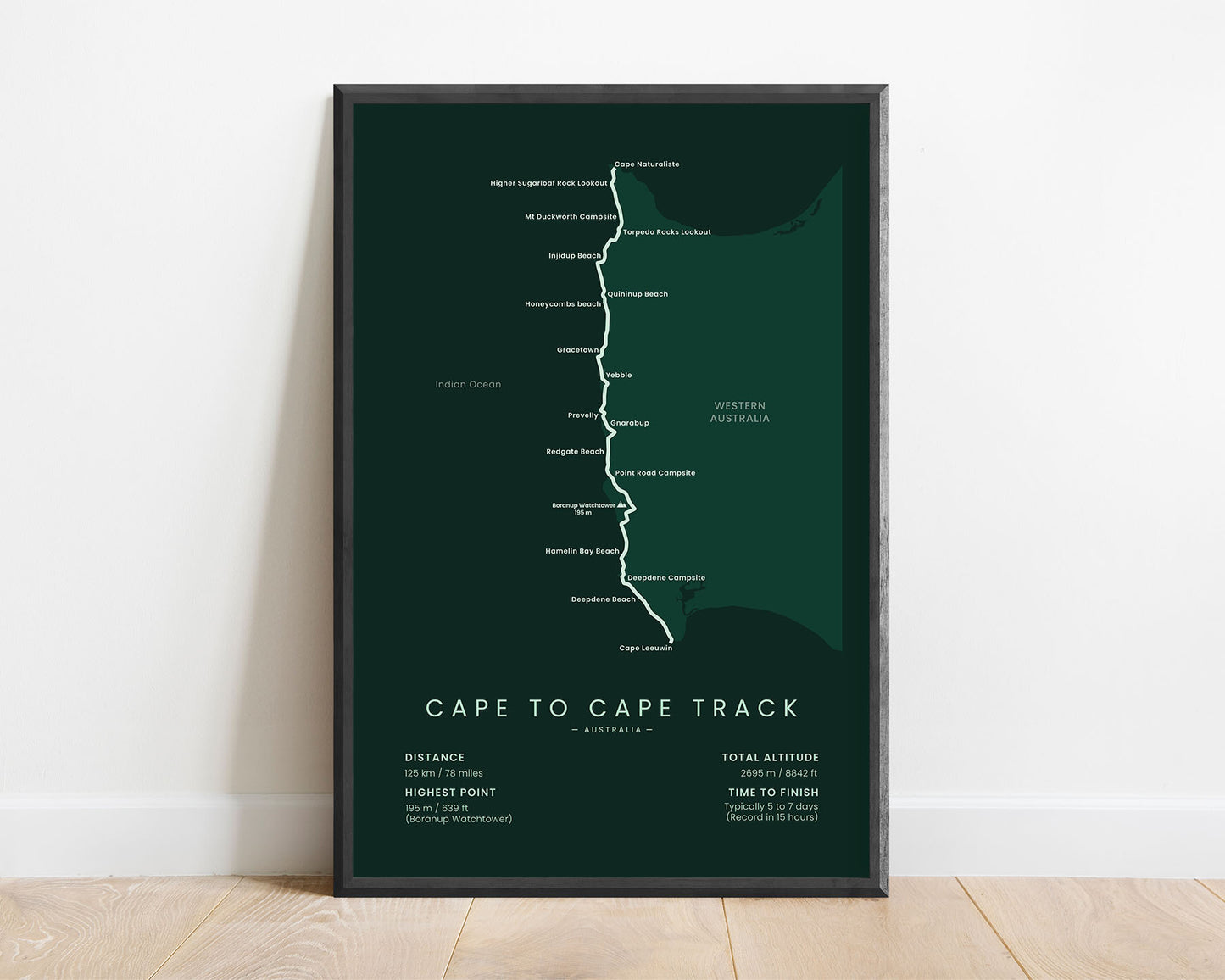
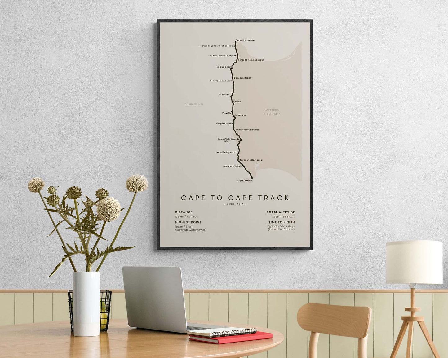
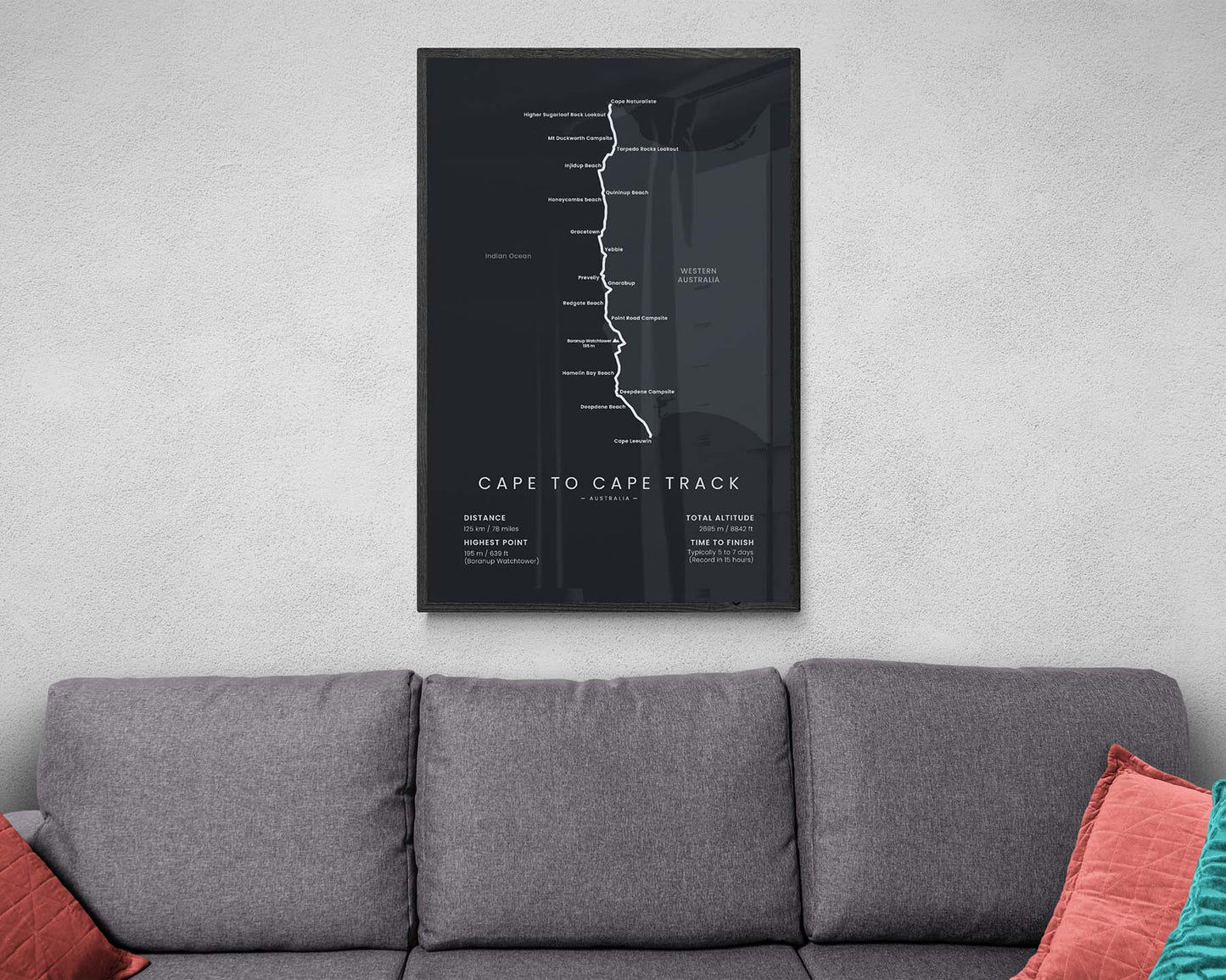

A map of the entire Cape to Cape Walk in Western Australia. This Minimalistic Print fits into most Scandinavian, minimal, and modern interiors, and will be an appreciated gift for anyone who has finished the trail. It includes many important points of interest and villages along the way and also shows the main statistics about the trail at the bottom.
About the Cape to Cape Walk
The Cape to Cape Walk (other called Cape to Cape Track) is one of the most popular long-distance trails in Australia. It goes along the coastline of the Margaret River region, western Australia, between two lighthouses - from Cape Naturaliste Lighthouse to Cape Leeuwin Lighthouse. In total it's just over 100 km in length and takes about 5-7 days to finish on average. Although it can be hiked all year round, the best time to hike is in spring or autumn, due to not too warm or too cold temperatures. The Cape to Cape walk goes through the Leeuwin-Naturaliste National Park, and during the trail, you'll discover many sandy beaches, steep cliffs, and dense forests along the way.
Statistics About the Cape to Cape Track
- Start point: Cape Naturaliste Lighthouse, Margaret River, Western Australia
- End point: Cape Leeuwin Lighthouse, Margaret River, Australia
- Total distance: 78 miles / 125 km
- Total altitude gain/loss: 8842 ft / 2695 m
- Highest point: 639 ft / 195 m (Boranup Watchtower)
- Countries crossed: Australia
- Time to finish: Usually 5-7 days
- Record finish: 15 hours
- Best time to hike: March-May or September-November

