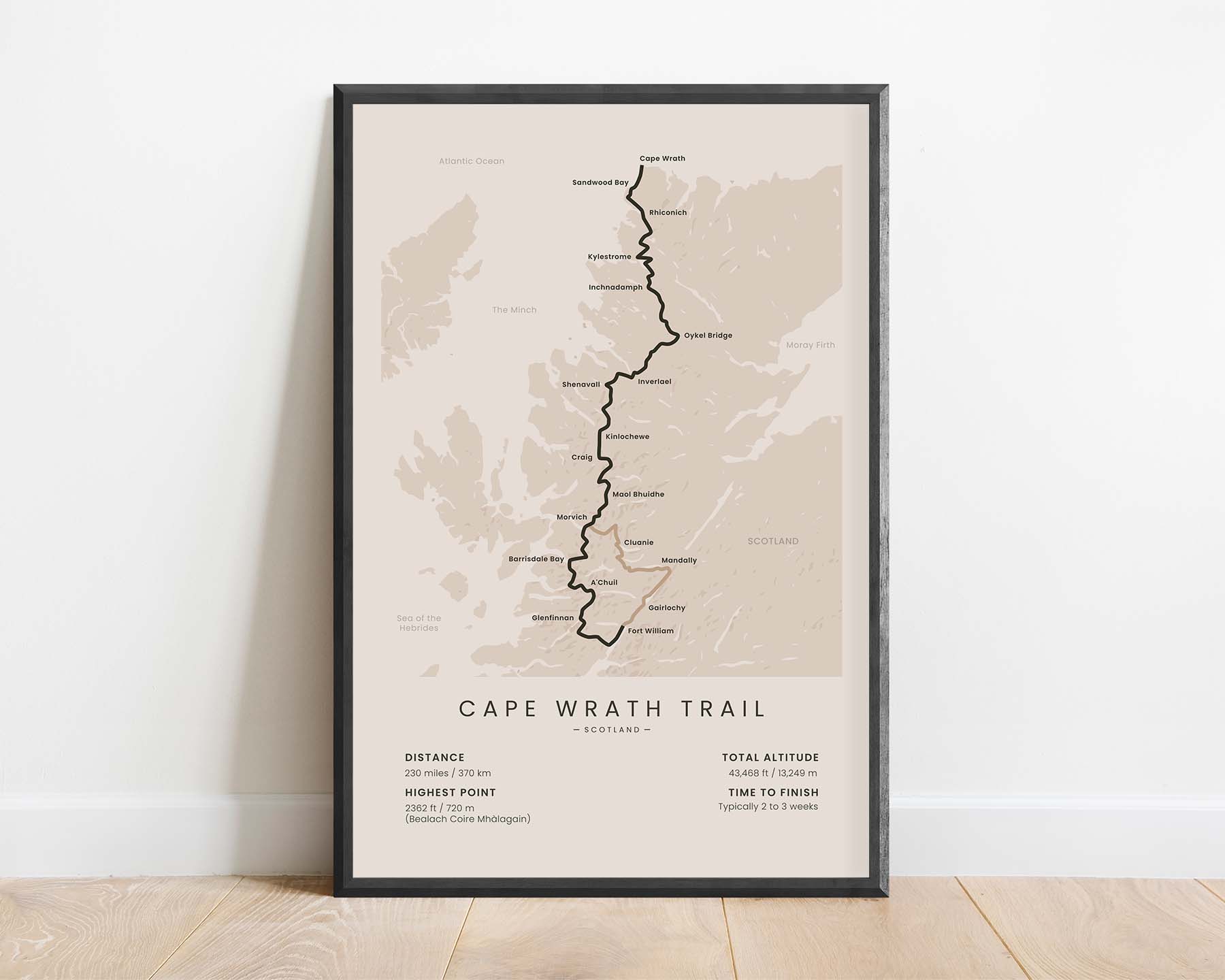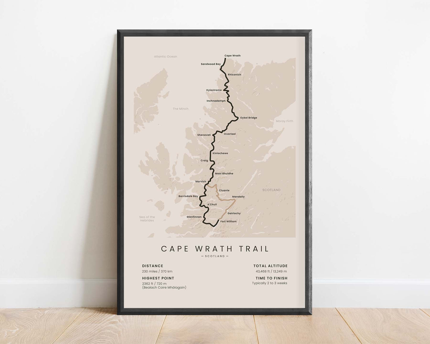
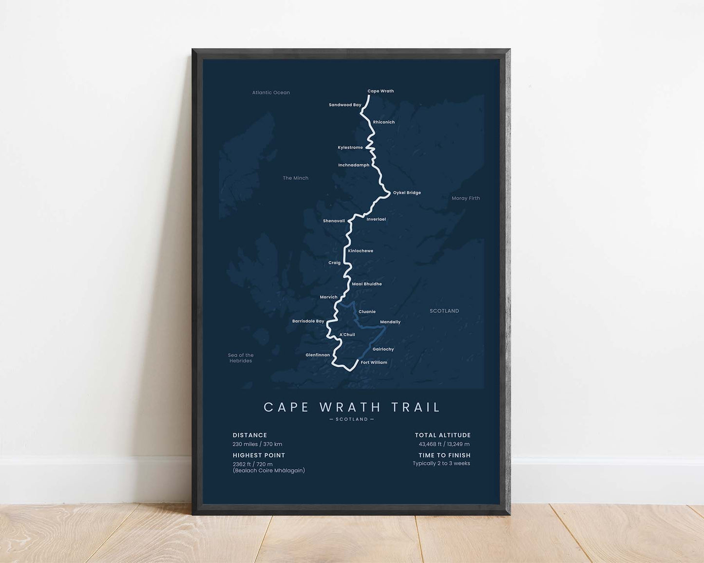
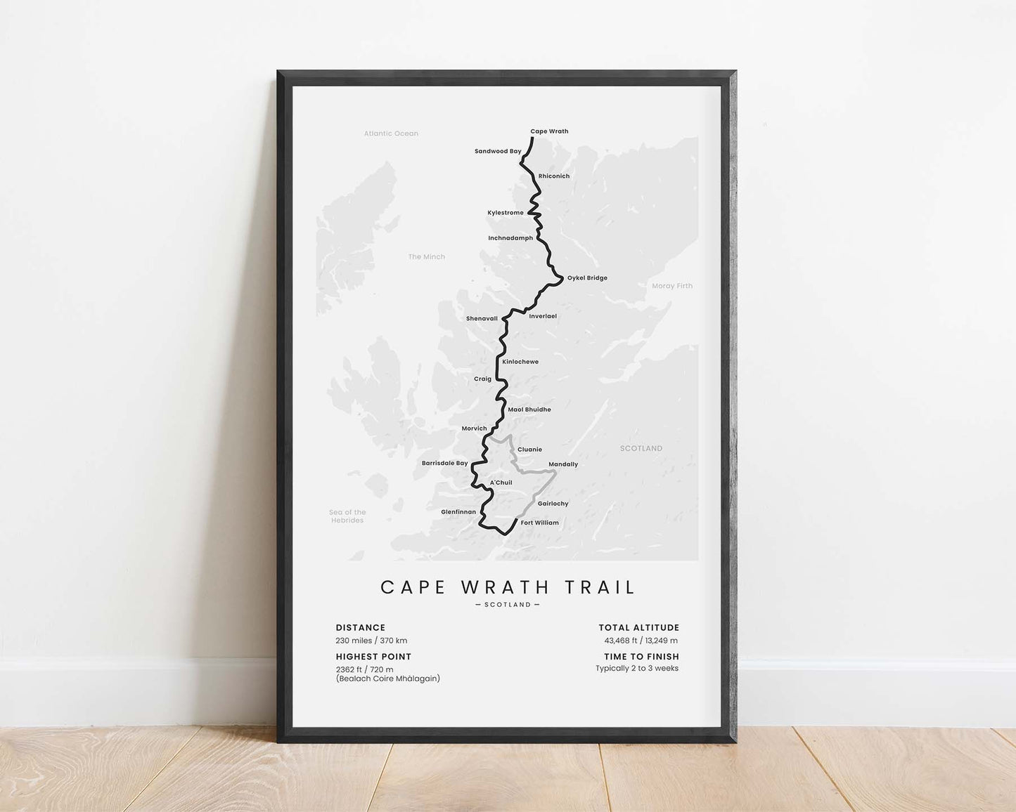
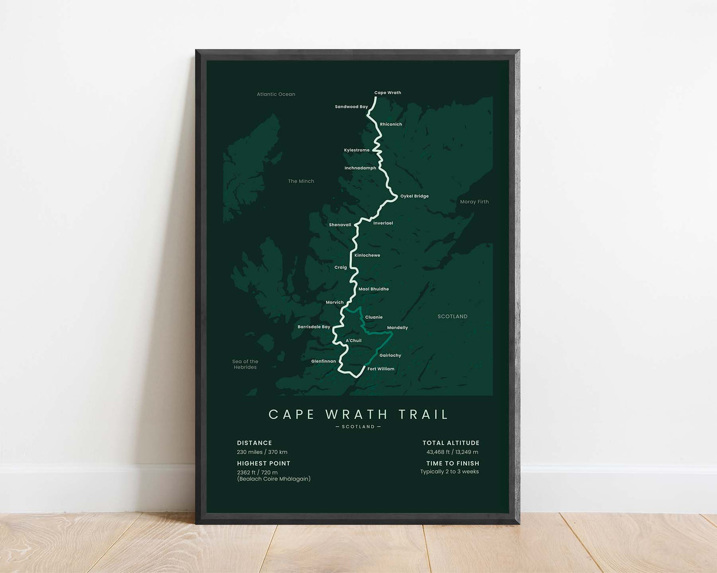
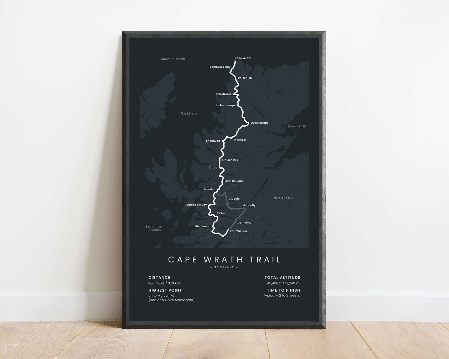


A minimalistic print of the Cape Wrath Trail, displaying the entire route of the trek, main points of interest and cities, and important statistics about the trek. It's offered in five different color options to look good in any interior.
About the Cape Wrath Trail
The Cape Wrath Trail (other called the Cape Wrath Way) is considered to be one of the most difficult treks in England. It goes from Fort William to Cape Wrath - the northern-westernmost point in Scotland and all of mainland England. It's an unmarked trail, but many people complete it every year and it has two variations. It traverses through the Scottish highlands along the western coastline.
Statistics About the Cape Wrath Way
- Start point: Fort William, Scotland, England
- End point: Cape Wrath, Scotland, England
- Total distance: 230 miles / 370 km
- Total altitude gain/loss: 43 468 ft / 13 249 m
- Highest point: 2362 ft / 720 m (Bealach Coire Mhàlagain)
- Countries crossed: Scotland, United Kingdom
- Time to finish: Typically 2 to 3 weeks

