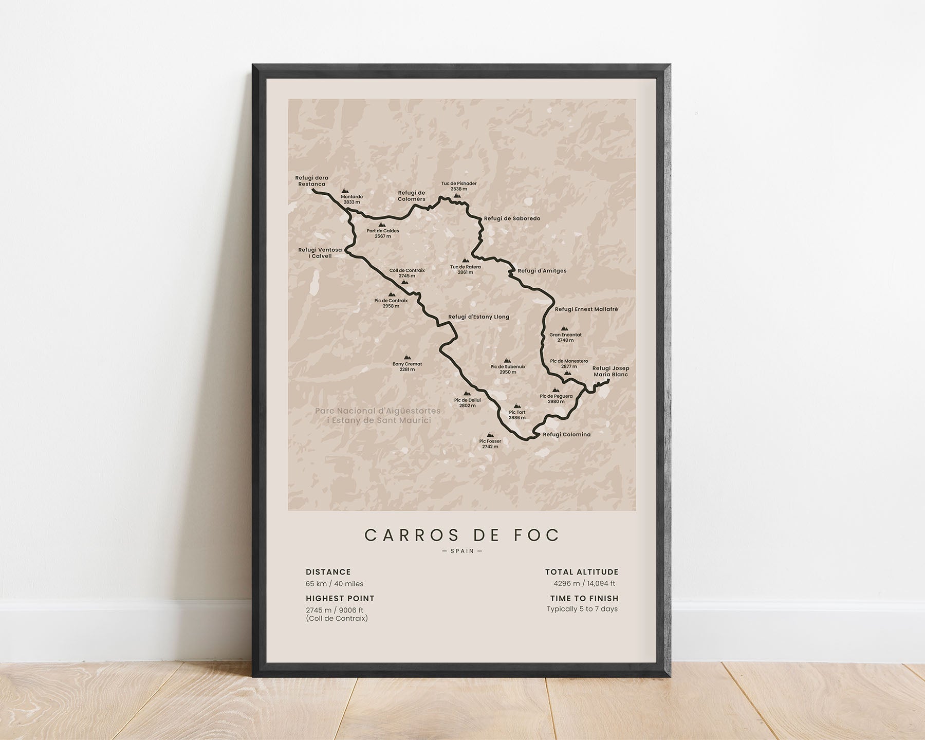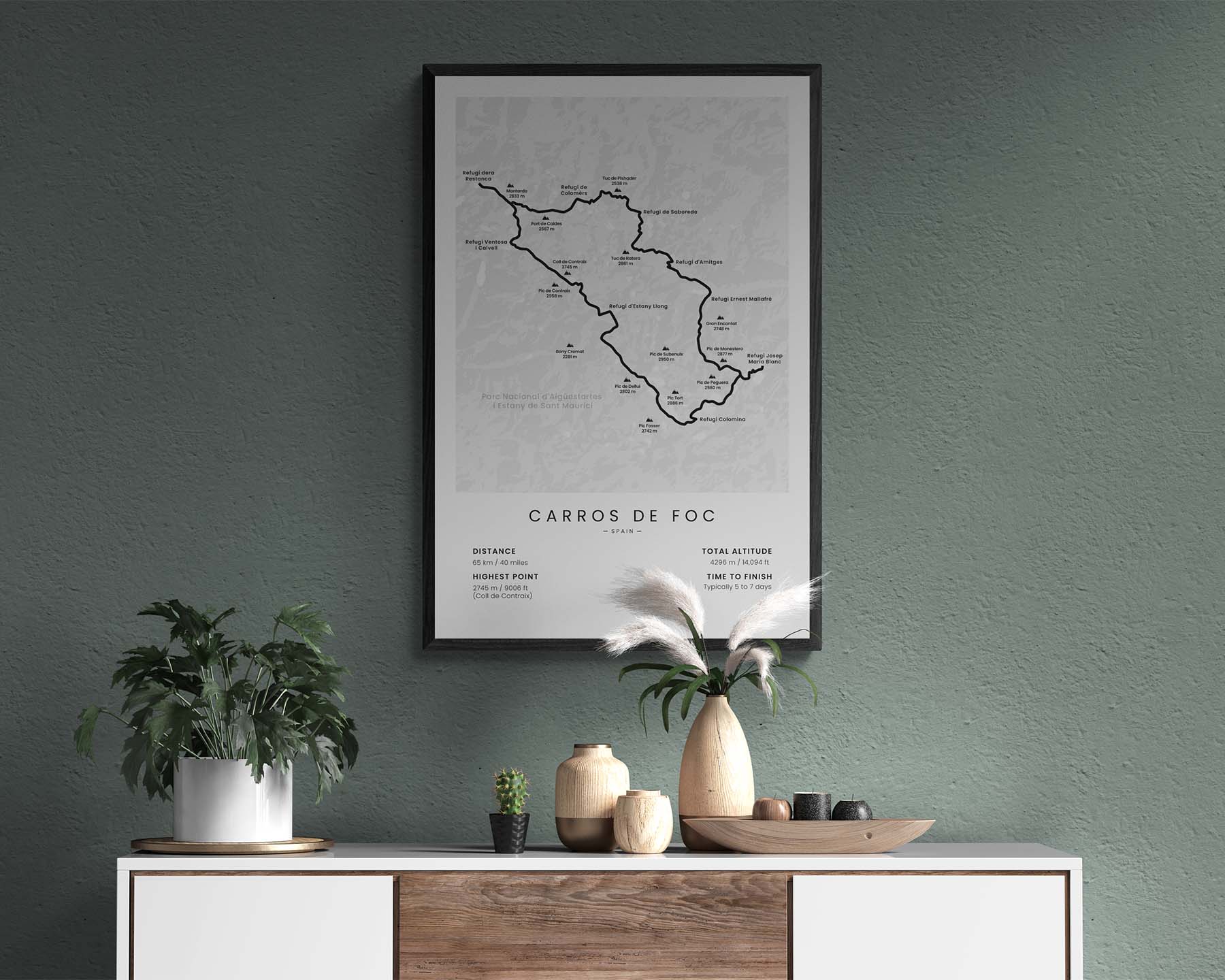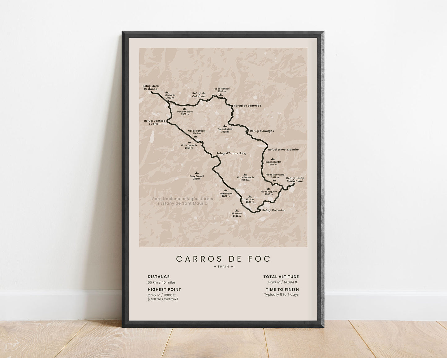
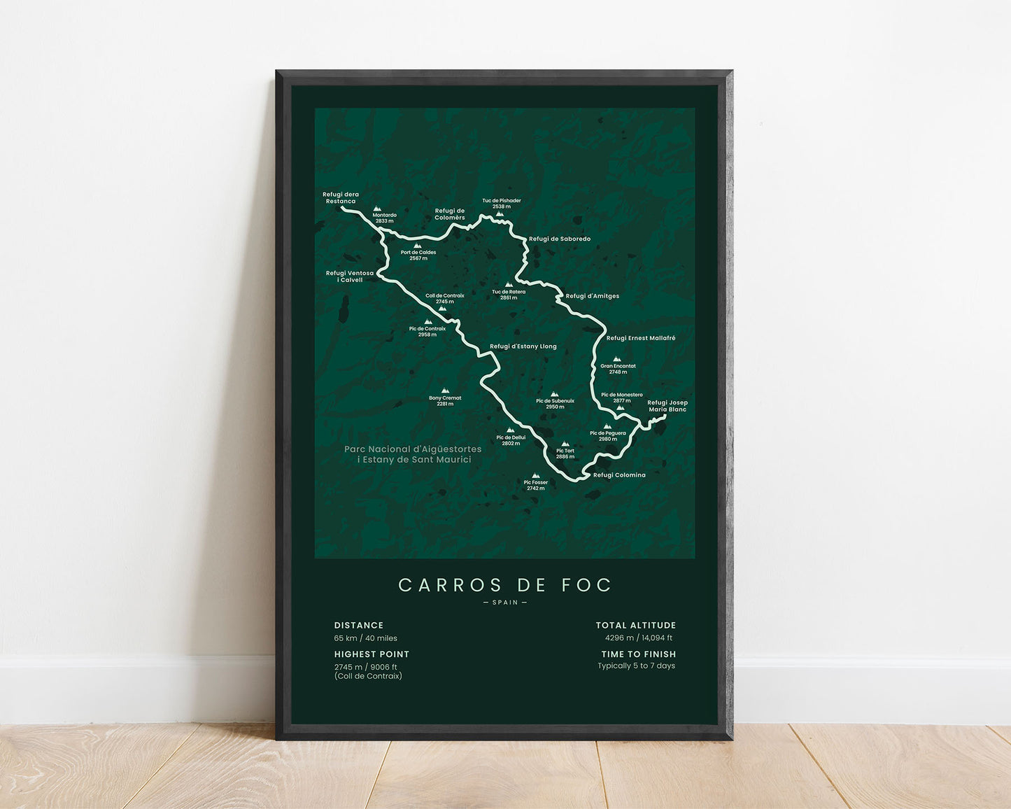
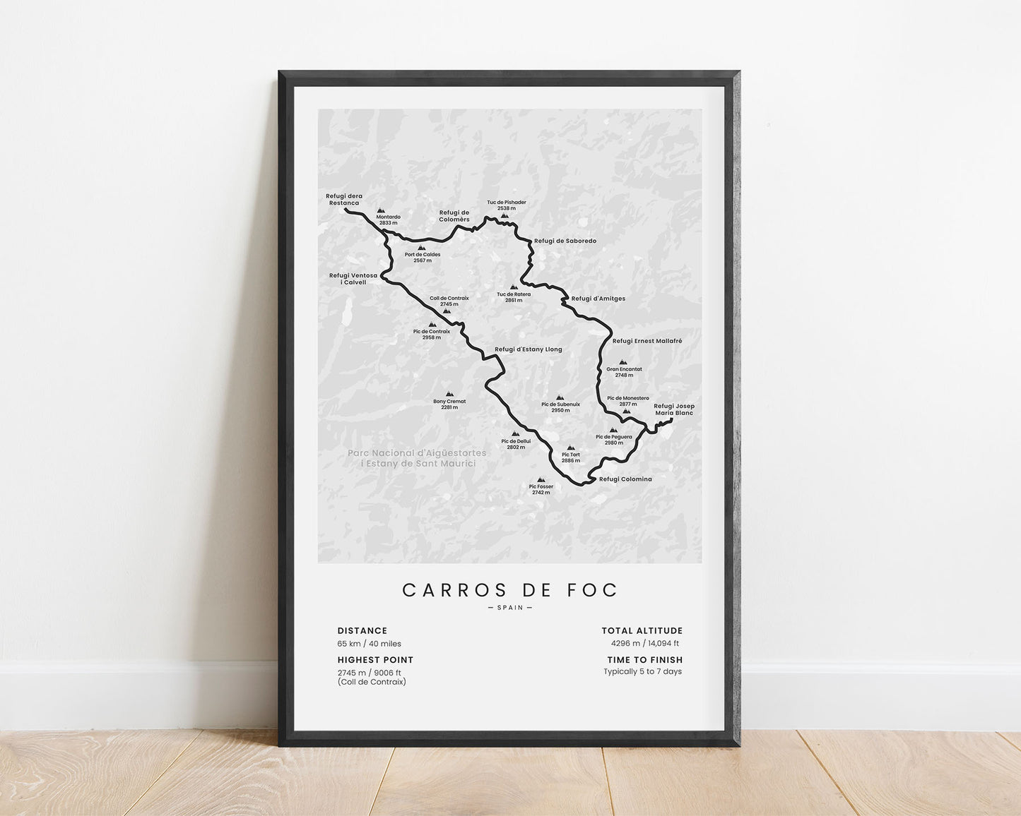
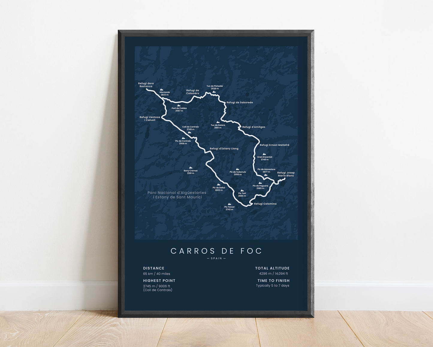
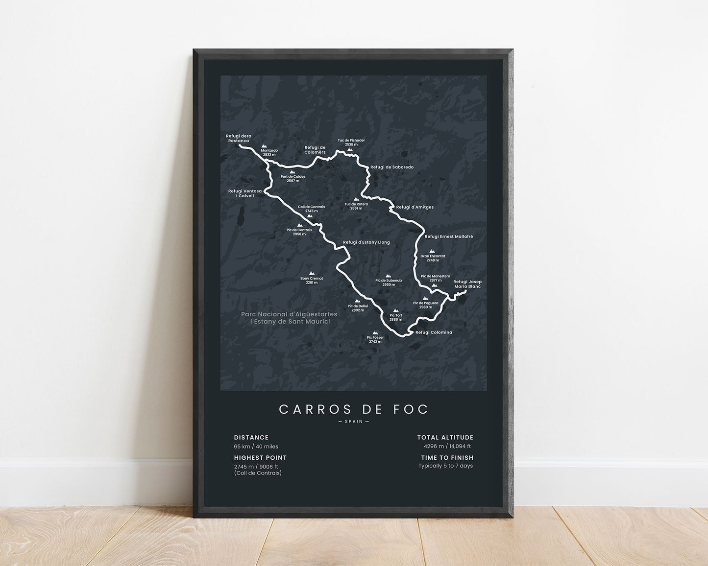
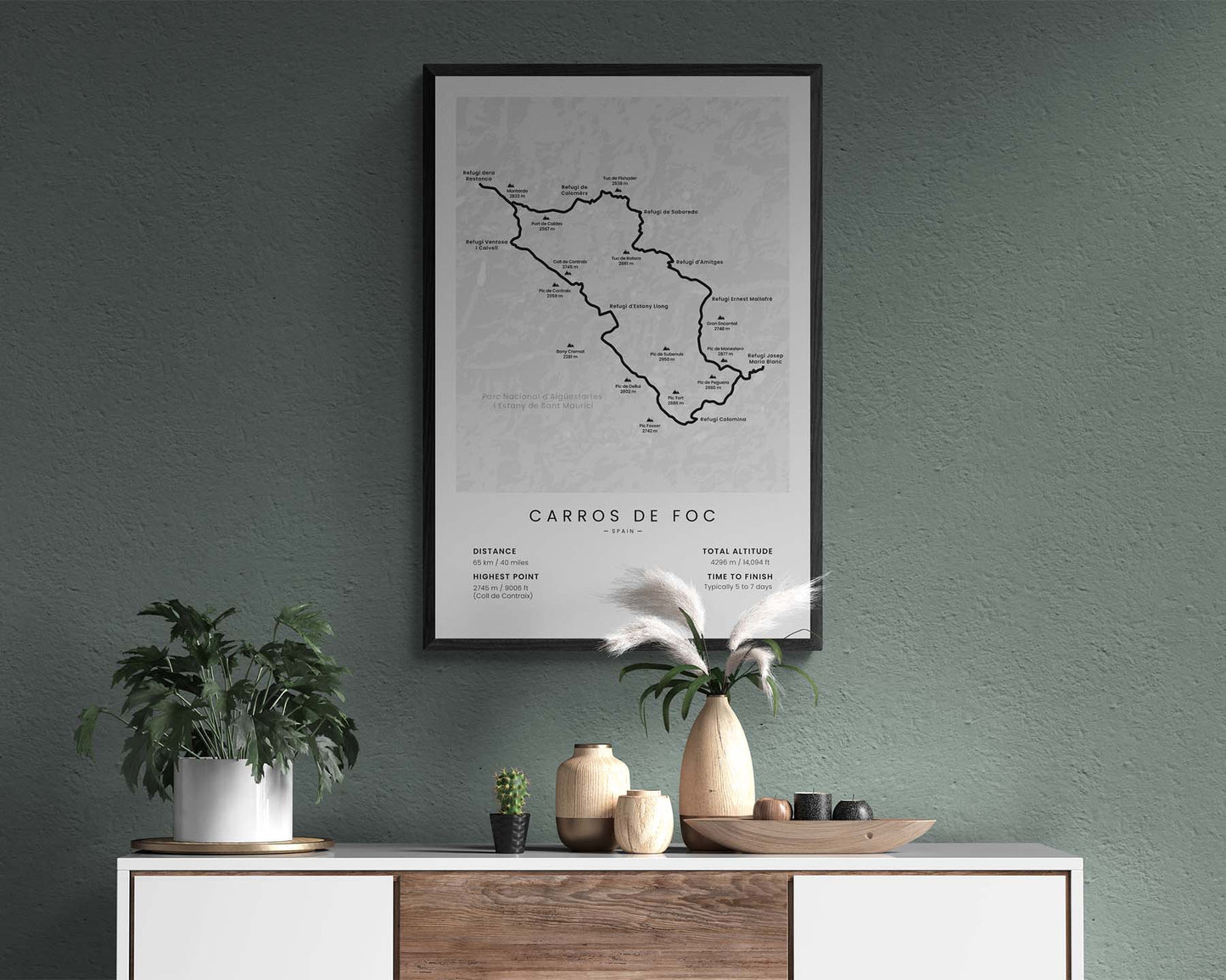


A poster of the Carros de Foc hiking trail map. It shows the entire route, all the Rifugios, and other important statistics about it at the bottom. It will fit into most modern and minimal interiors.
About the Carros de Foc Trail
The Carros De Foc is a very popular hiking trail in Catalonia Spain. It's a circular, 65 km round trip in the Aigüestortes i Llac de Sant Maurici National Park. The route goes through 9 different mountain huts (Rifugios) in the Catalonian Pyrenees Mountains. It's one of the most popular multi-day hikes in the Pyrenees, right next to the GR11 and HRP thru-hiking trails. It goes through high mountain passes, intertwined with beautiful alpine meadows with marmots, raging rivers, and crystal-clear mountain lagoons.
Statistics About the Carros De Foc Trail
- Total distance: 65 km / 40 miles
- Total altitude gain/loss: 4296 m / 14 094 ft
- Highest point: 2745 m / 9006 ft (Coll de Contraix)
- Points of interest: Aigüestortes i Llac de Sant Maurici National Park, Pyrenees, Catalonia
- Countries crossed: Spain
- Time to finish: Typically 5 to 7 days

