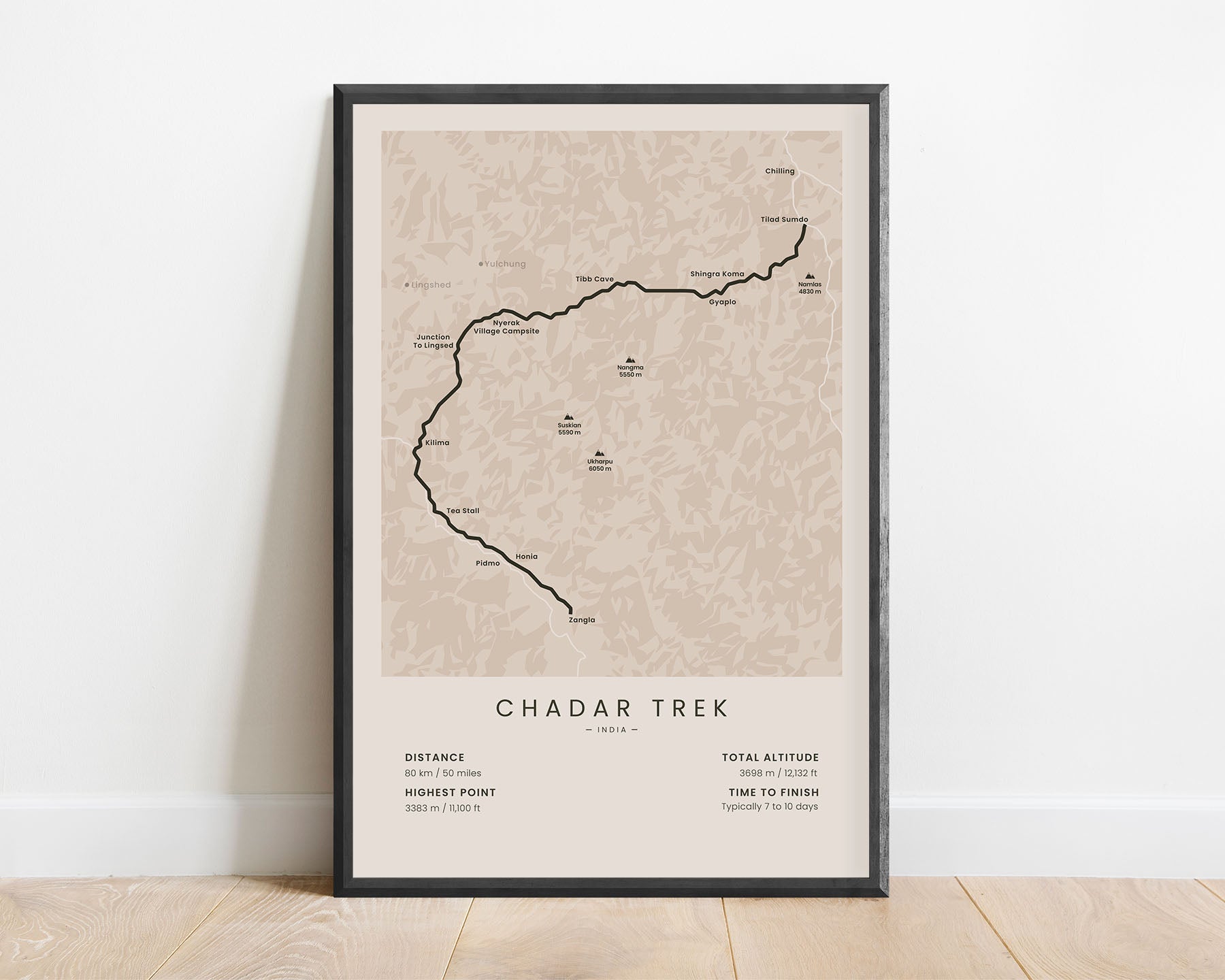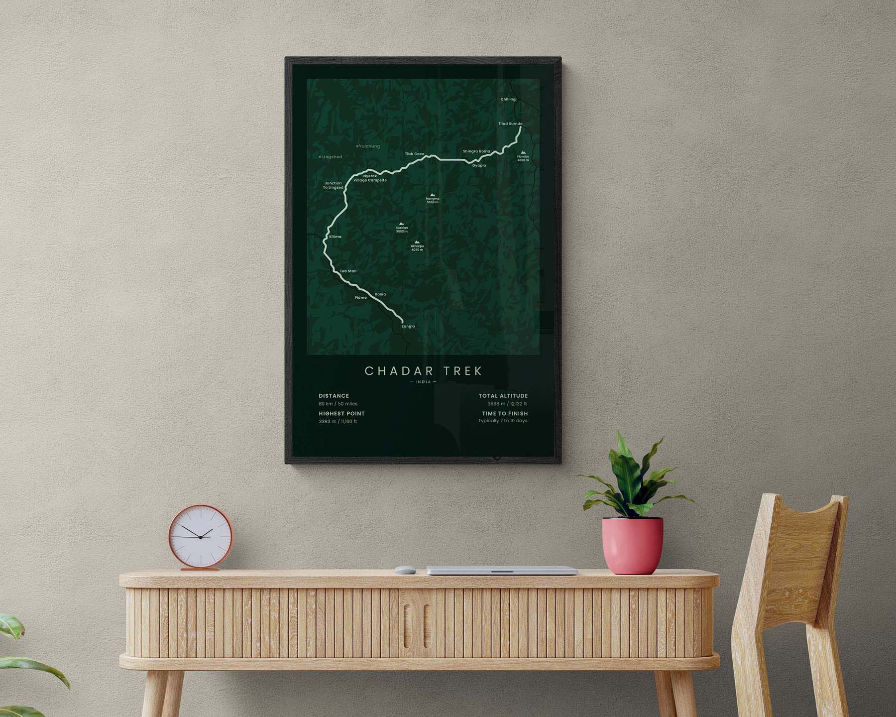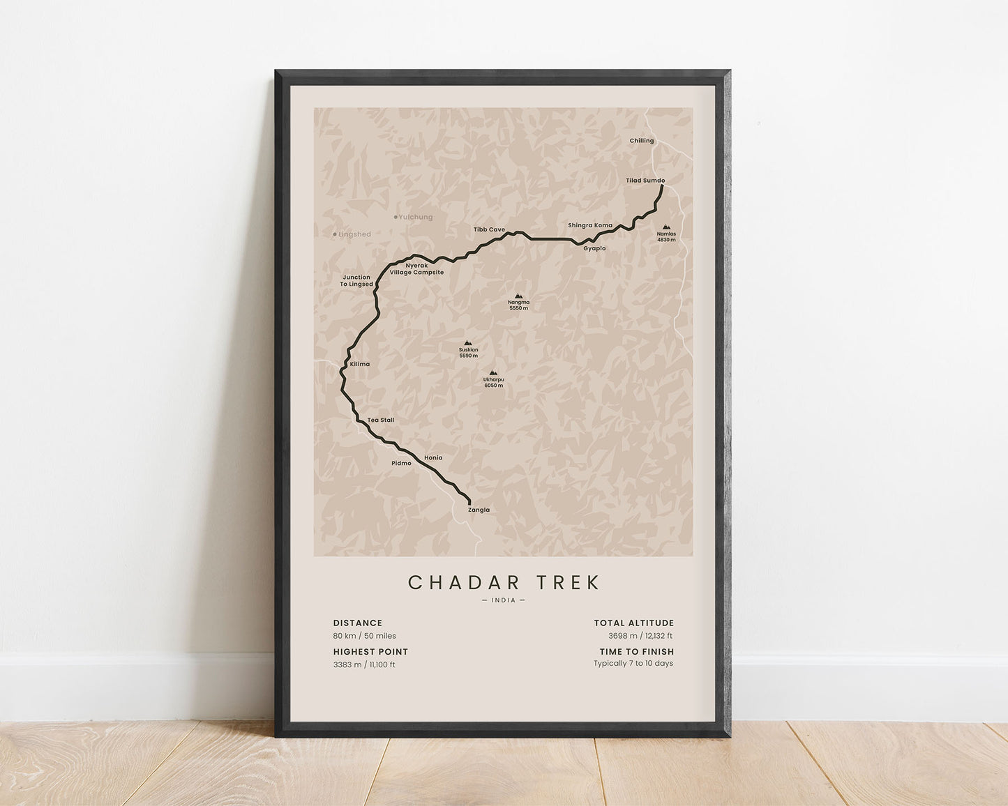
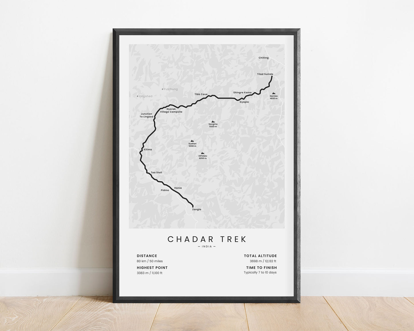
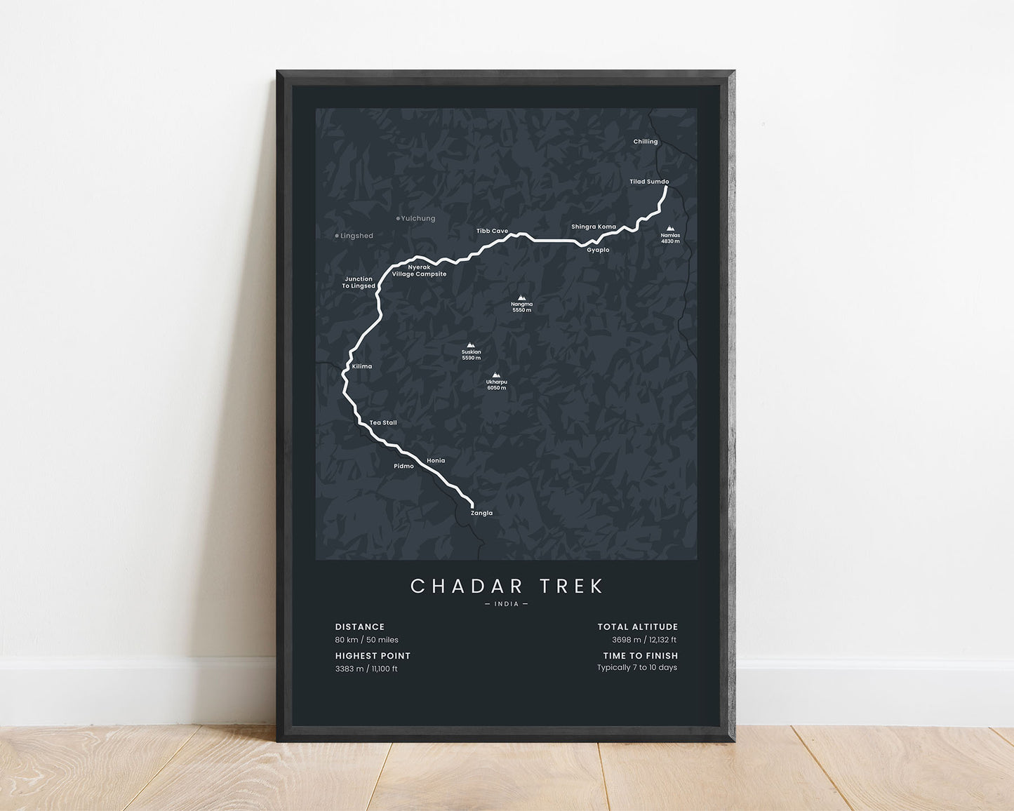
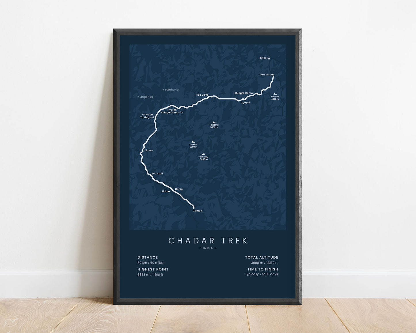
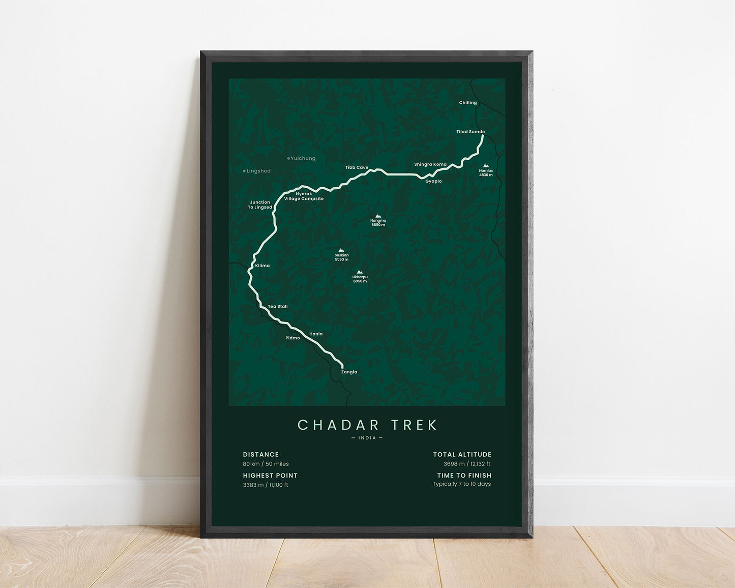

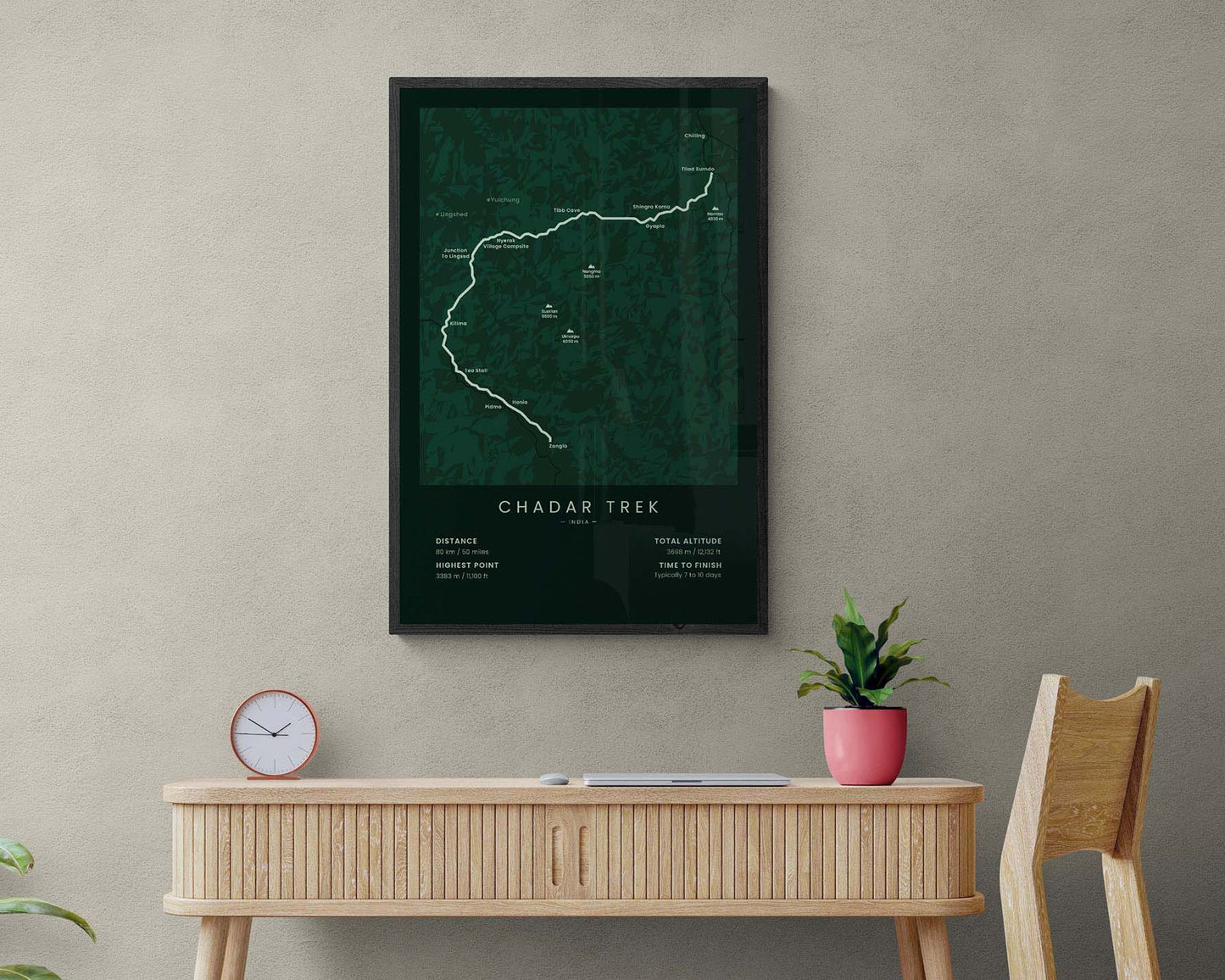

A poster that shows the Chadar Frozen River Trek in India, Himalayas. This print shows the map of the full route, including the main peaks along the way, like Ukharpu, Suskian, and Nangma, the main cities, and important statistics about the trail. It’s made in a minimal style to look good in most modern interiors.
About the Chadar Trek
The Chadar Trek is a hiking trail that's located on the frozen river of Zanskar in the Ladakh region of India. This trek is typically best done in February when the temperatures are the lowest and the river banks are fully frozen, allowing for a safe passage along the gorge. The Chadar Trek usually starts at the city of Leh, where transport takes you to Chilling, and you start the trek on foot. There are a lot of variations of this trail, depending on how long you want to walk. Some people finish at Lingshed, some at Zangla, and others at different points. It's so popular because it takes you through an incredibly beautiful gorge with steep cliffs on both sides, alongside a crystal-clear, freezing river. It's considered a fairly difficult trek due to the low temperatures.
Statistics About the Chadar Trek
- Start point: Leh, Chilling, or Tilad Sumdo, Ladakh, India
- End point: Lingshed or Zangla, Ladakh, India
- Total distance: 80 km / 50 miles
- Total altitude gain/loss: 3698 m / 12 132 ft
- Highest point: 3383 m / 11 100 ft
- Points of interest: Zanskar River, Zanskar Gorge
- Time to finish: Typically 7 to 10 days

