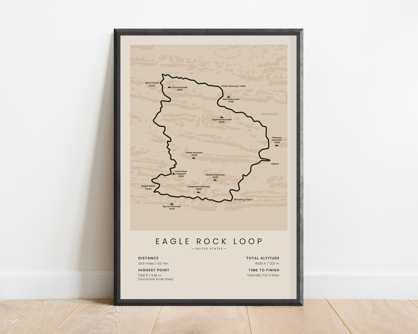
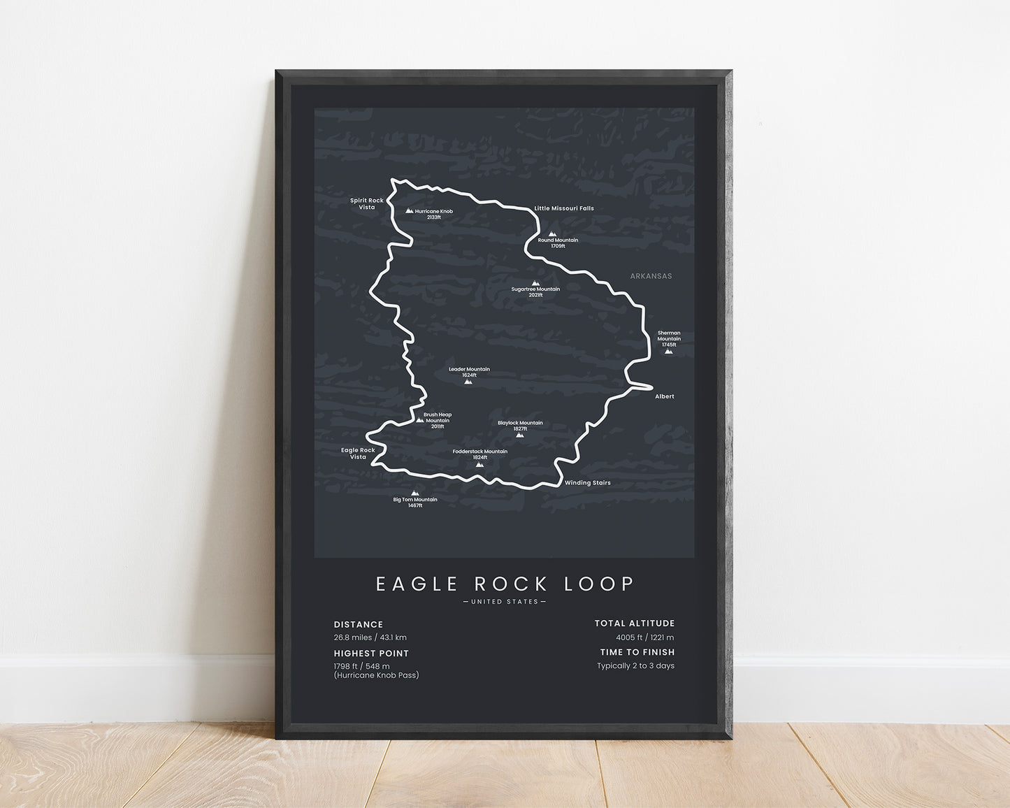
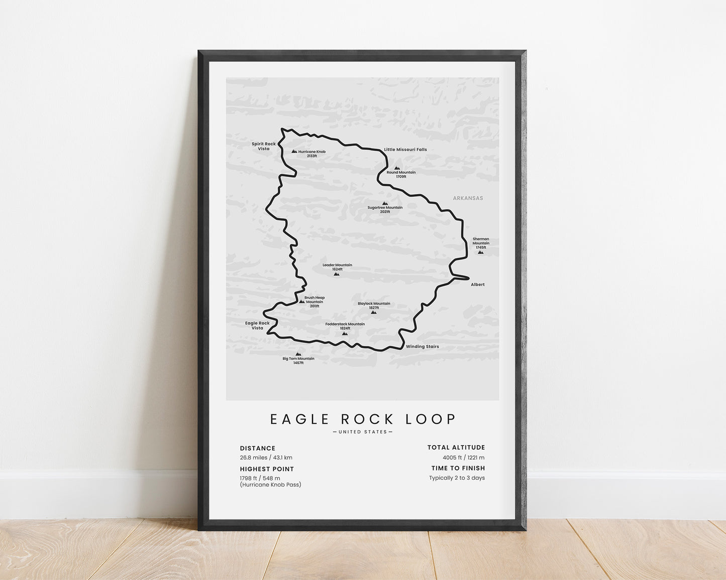
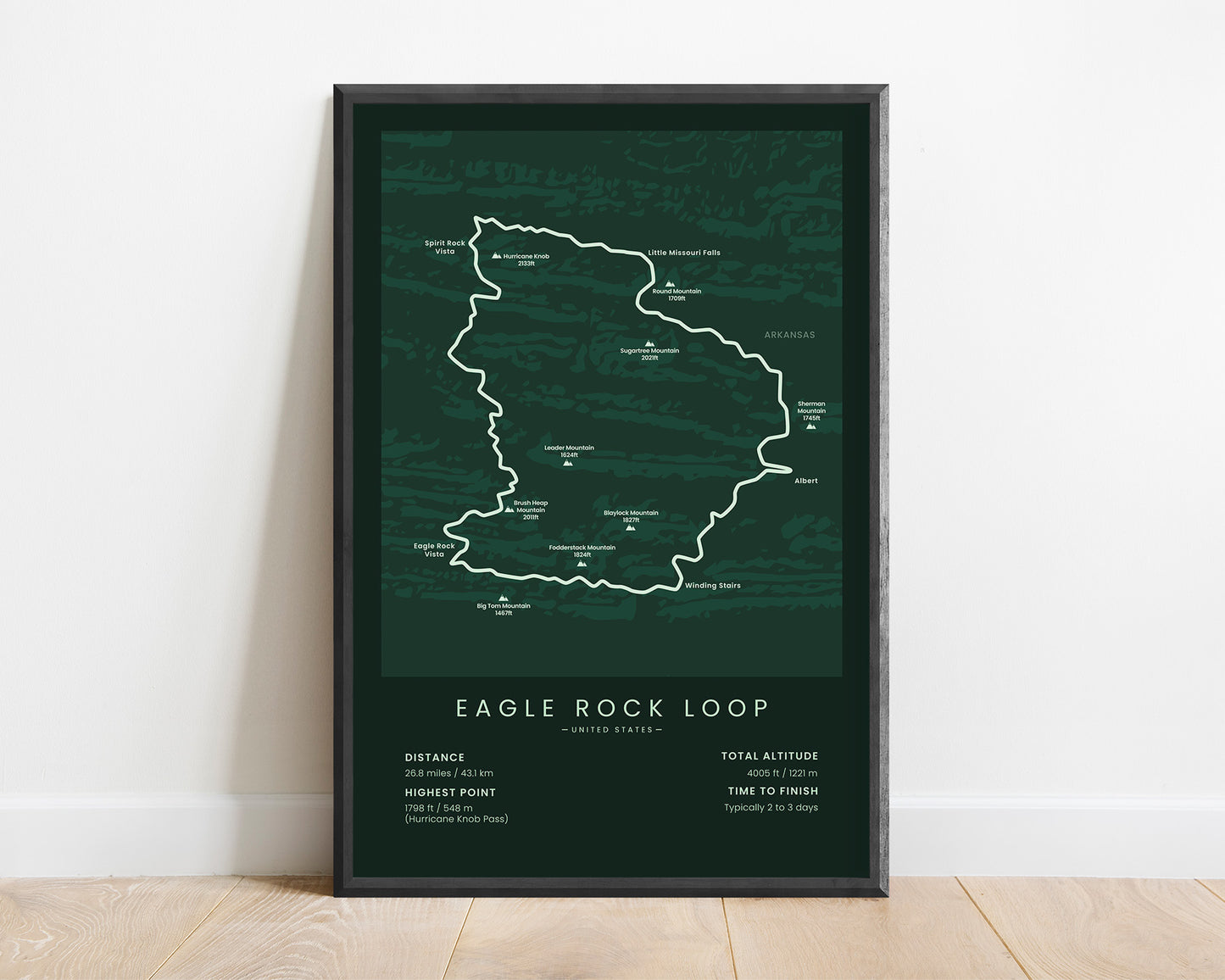
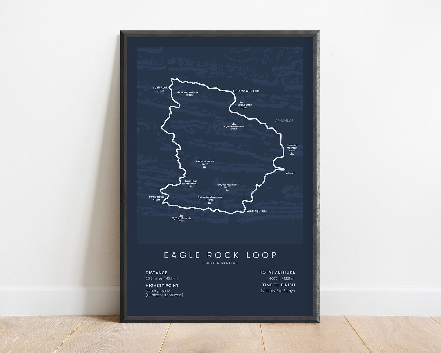


A poster that displays the map of the Eagle Rock Loop hiking trail. It includes the whole route of the trek, the main peaks, vistas, and other points of interest. At the bottom, it also shows important information about the trail, like the total distance, elevation gain, and more. It’s made in a minimal style to look good in any interior and will be a great gift for someone who has finished or wants to finish the hike.
About the Eagle Rock Loop
The Eagle Rock Loop is one of the most popular hiking trails in Arkansas, Ouachita Mountains. It's a 26-mile loop that goes through the Ouachita National Forest, and it essentially consists of three hiking trails - the Little Missouri Trail, the Athens-Big Fork Trail, and the Viles Branch Horse Trail. The Eagle Rock Loop can usually be completed in 2-3 days and it's considered to be a fairly difficult hike due to the terrain. It includes many river crossings, passing through thick forests, climbing many hills, and occasionally light scrambling on parts of the trail. Another popular trail in the Ouachita Mountains is the Ouachita National Recreation Trail, but it takes much longer to complete.
Statistics About the Eagle Rock Loop
- Total distance: 26.8 miles / 43.1 km
- Total altitude gain/loss: 4005 ft / 1221 m
- Highest point: 1798 ft / 548 m (Hurricane Knob Pass)
- Countries crossed: United States
- States Crossed: Arkansas
- Time to finish: Typically 2 to 3 days
- Best time to hike: April - October


