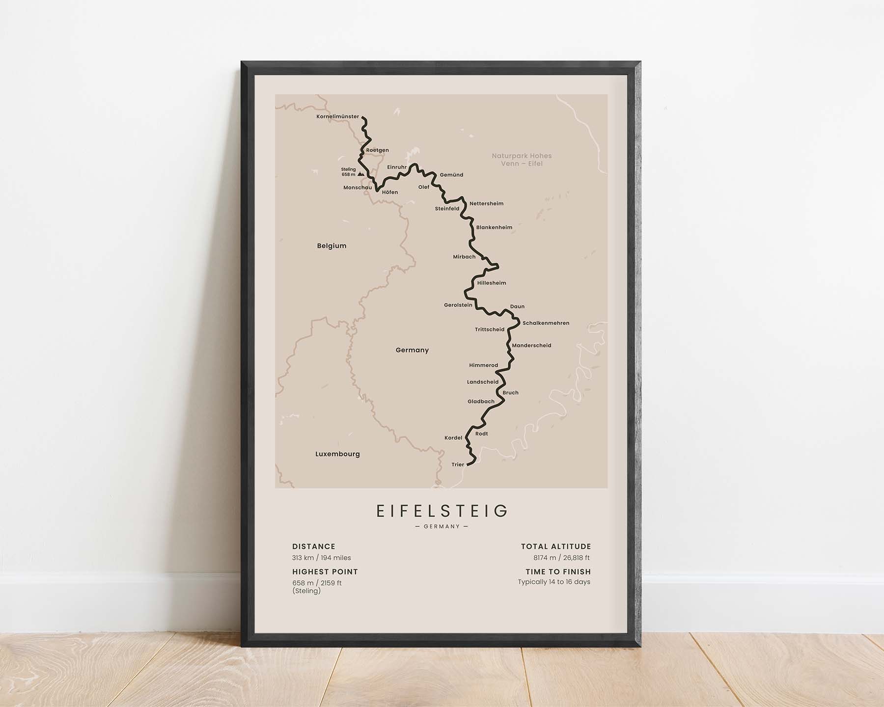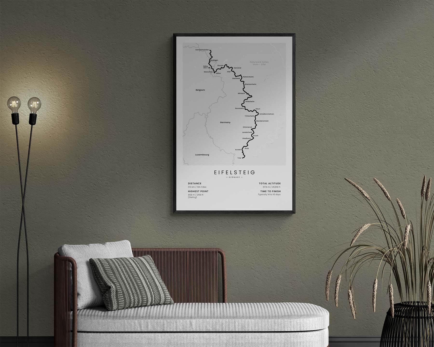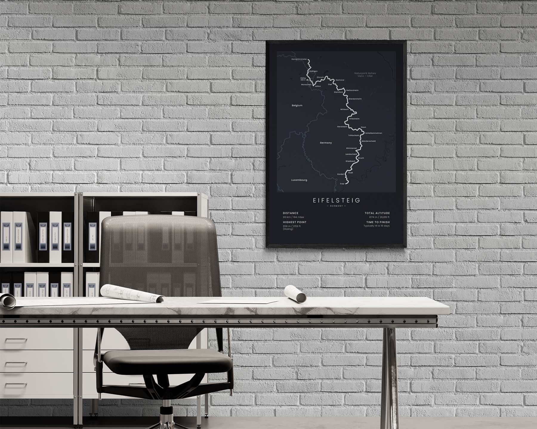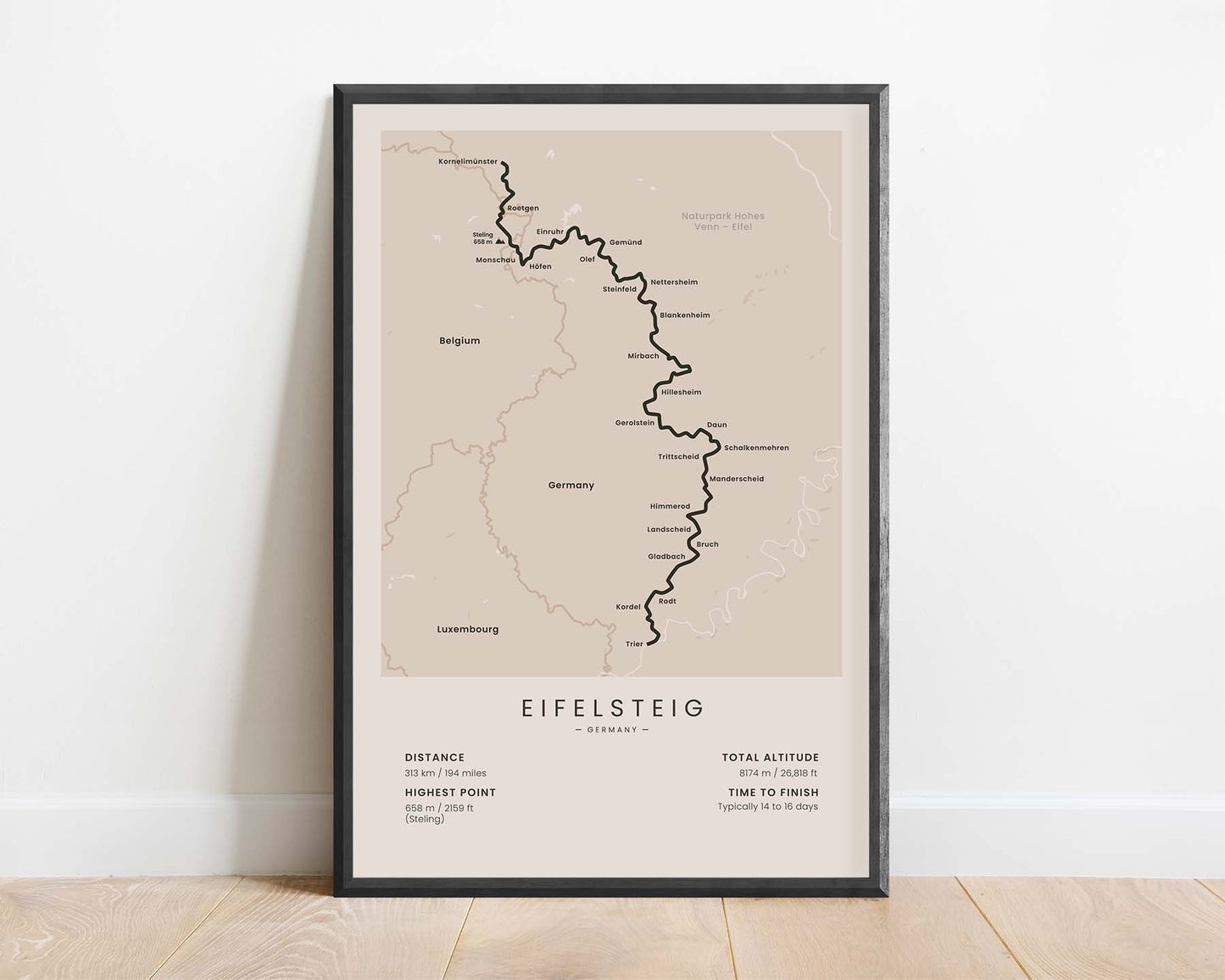
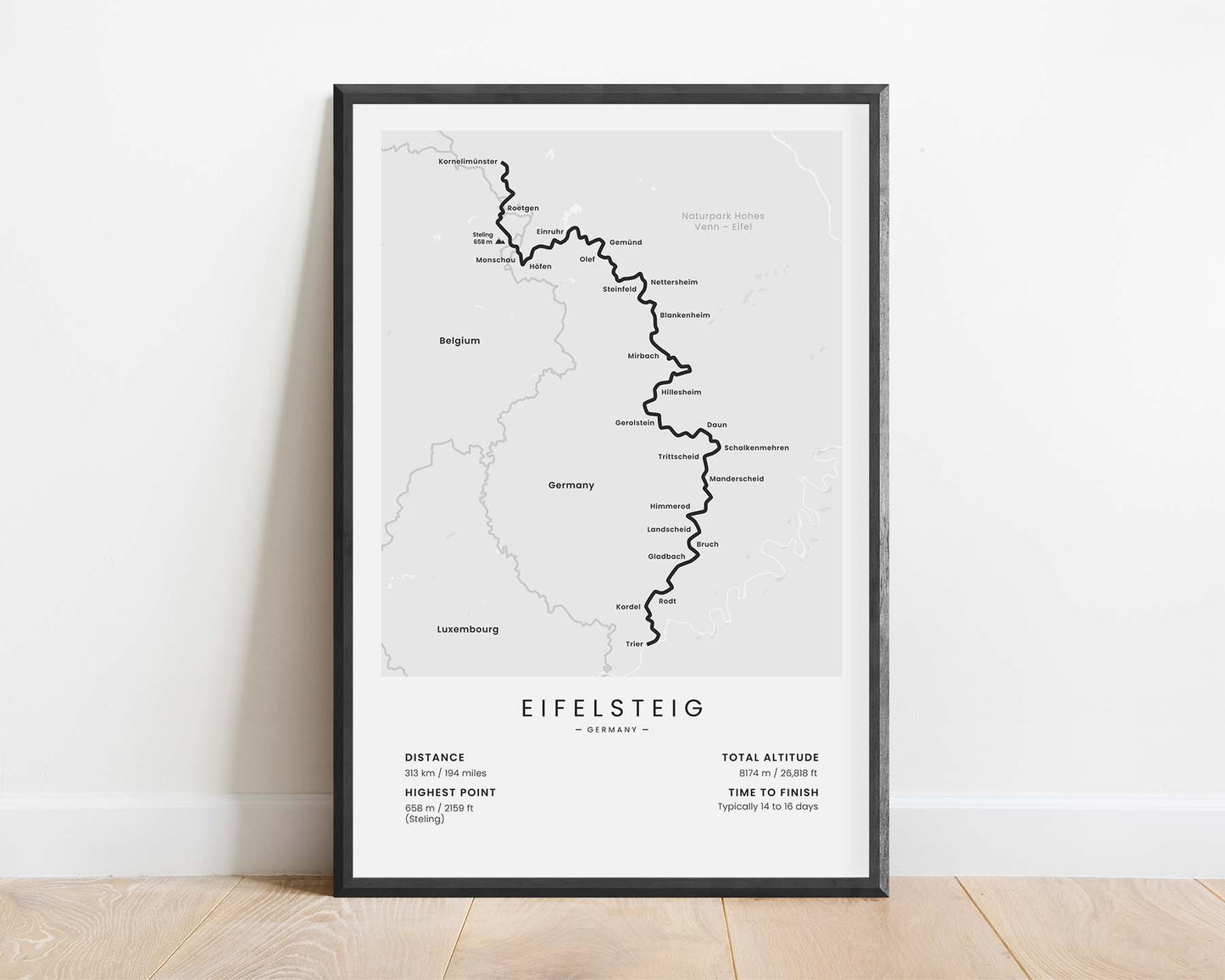
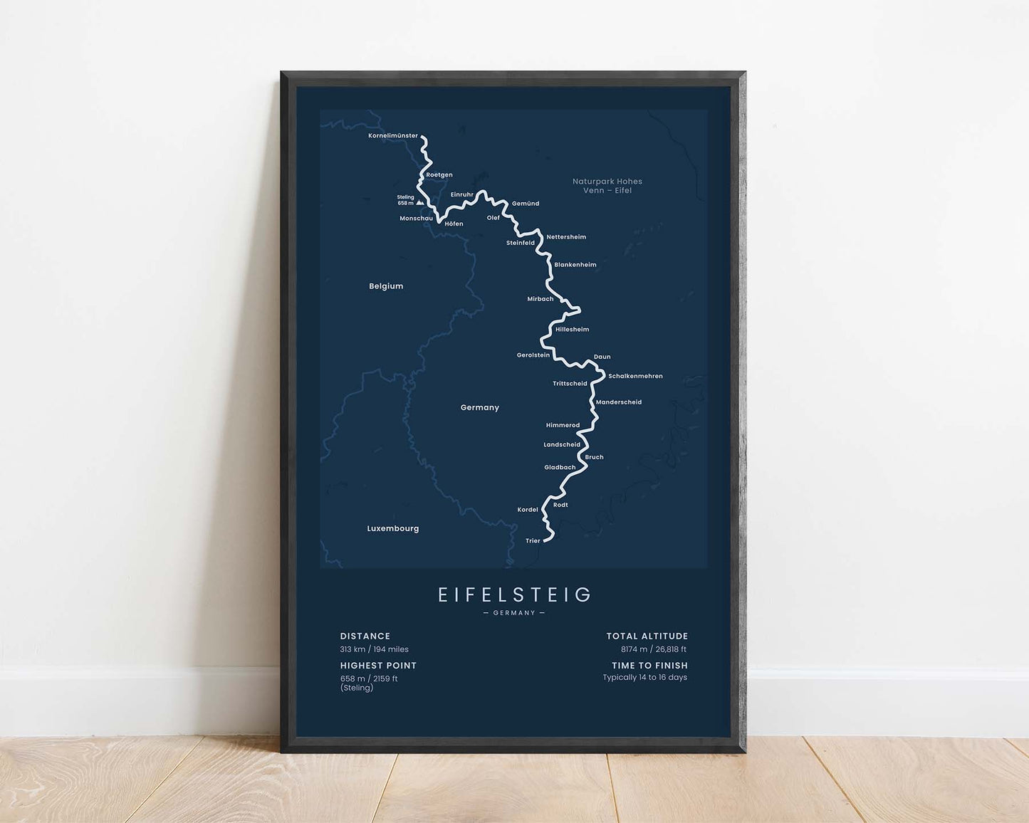
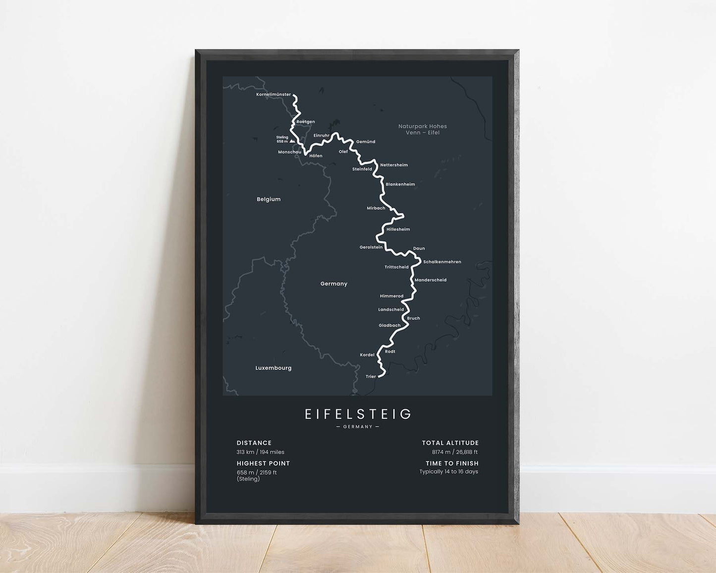
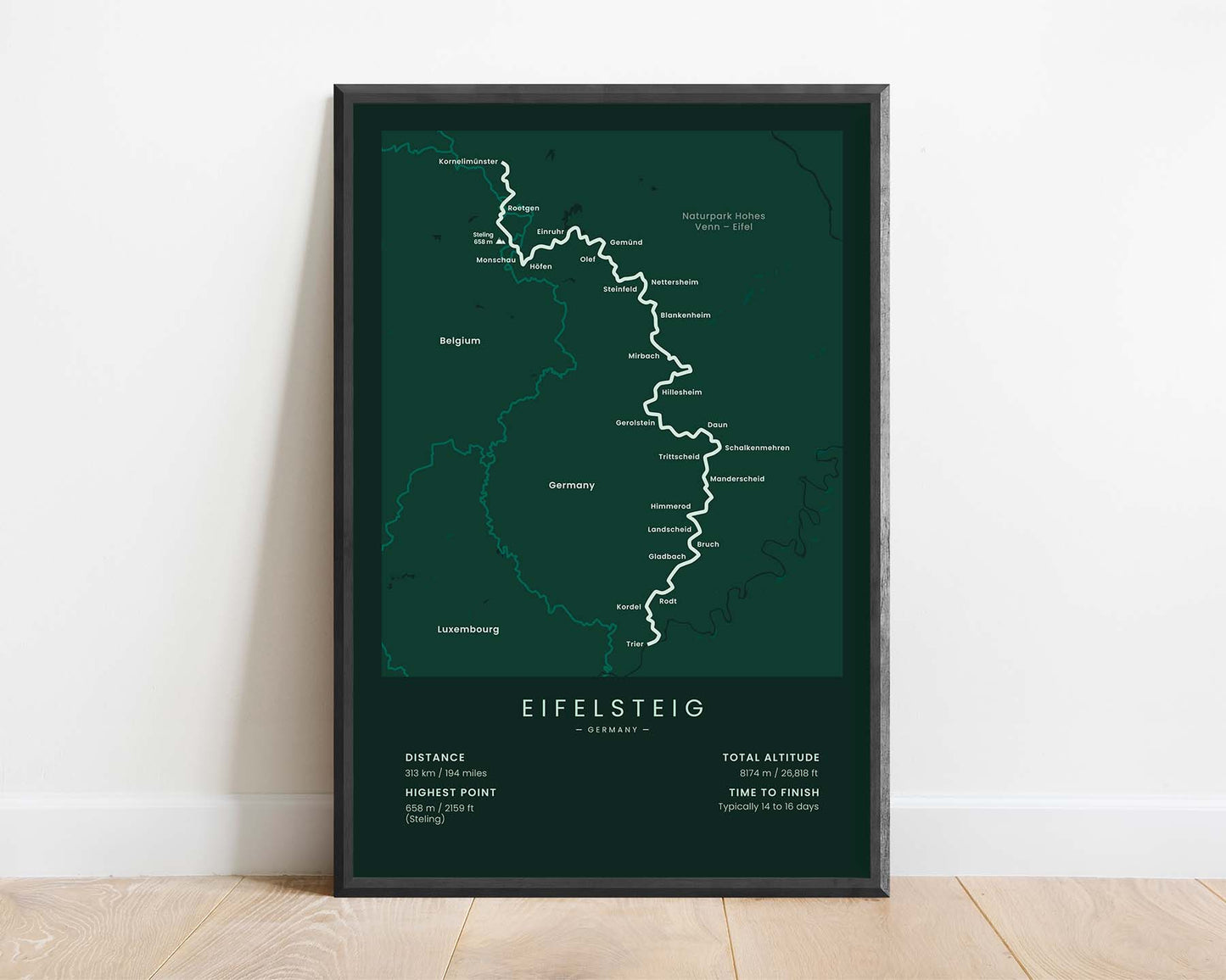
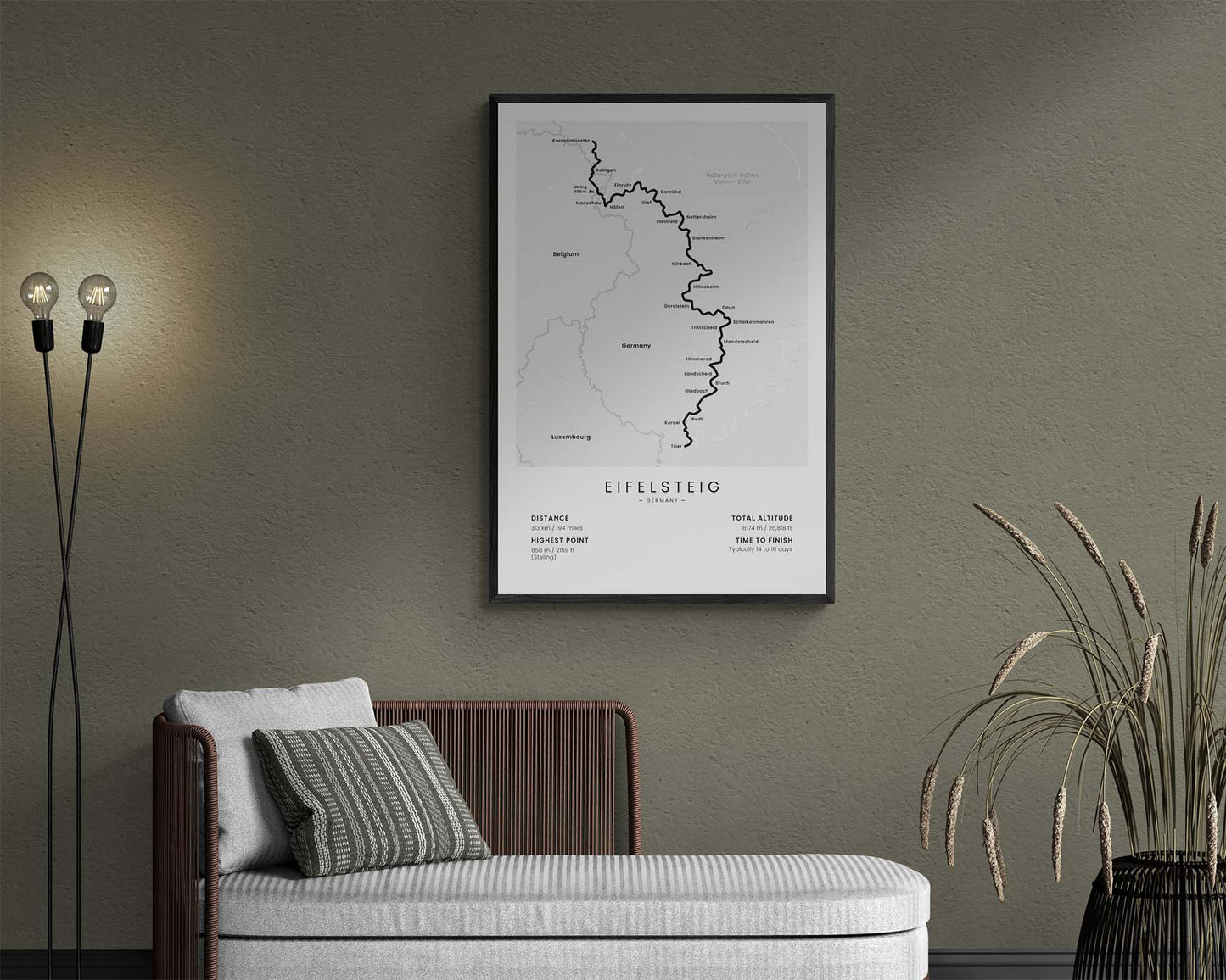
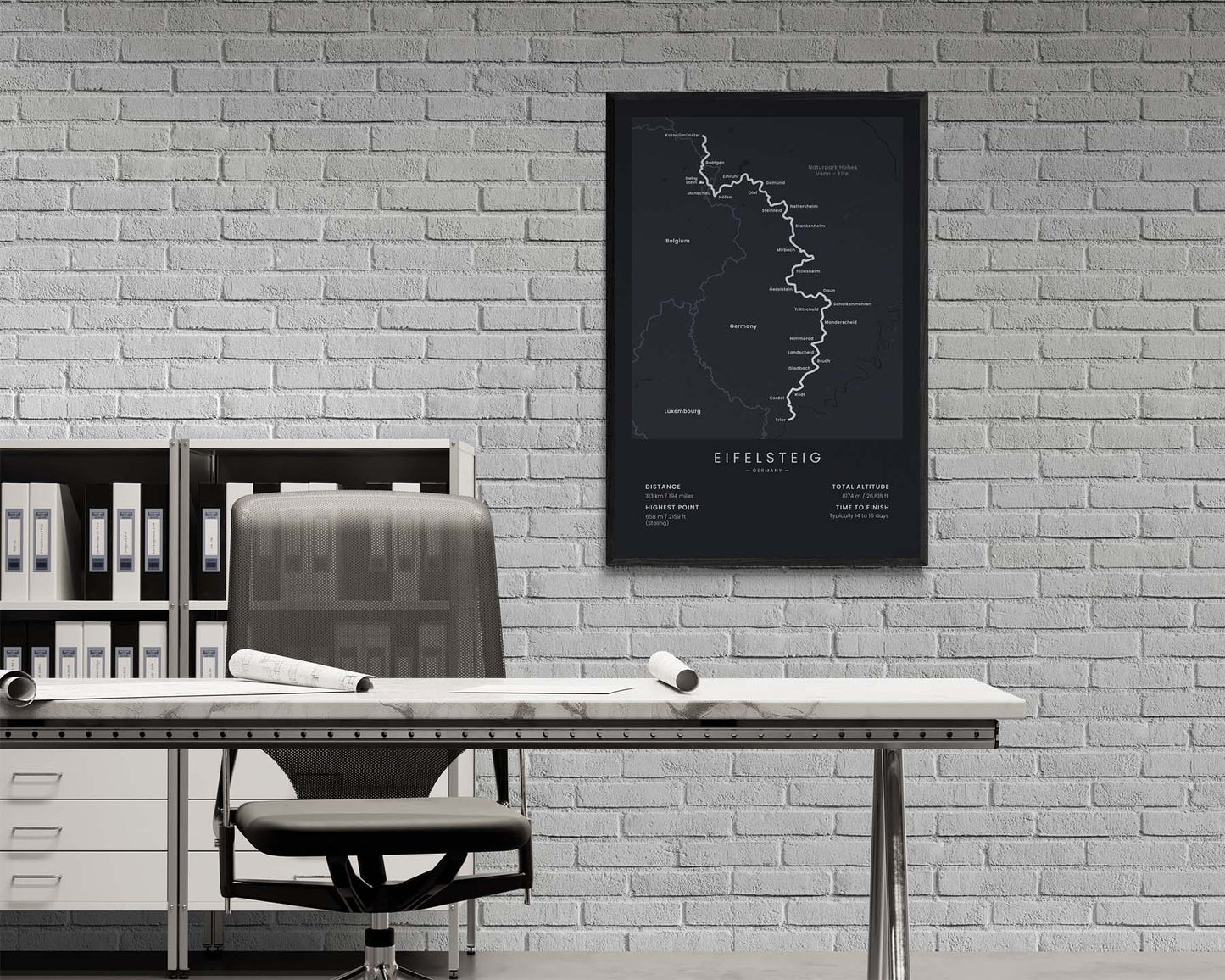

This poster shows the map of the Eifelsteig thru-hike in Germany. It includes the full route from Aachen to Trier and shows key cities and points of interest along the way. It also shows important statistics about the trail at the bottom.
About the Eifelsteig
The Eifelsteig (Der Eifelsteig) is a long-distance hiking trail in west Germany. It starts at Aachen, North Rhine-Westphalia, and ends in Trier, Rhineland Palatinate. In total, it stretches 313 across west Germany, along the Belgium and Luxembourg borders. The trail goes through the world-famous Eifel National Park and includes hiking in flat and wooded areas, as well as more mountainous regions in the south.
Statistics About the Der Eifelsteig
- Start point: Kornelimünster, North Rhine-Westphalia
- End point: Trier, Rhineland Palatinate
- Total distance: 313 km / 194 miles
- Total altitude gain/loss: 8174 m / 26 818 ft
- Highest point: 658 / 2159 ft (Steling)
- Points of interest: Eifel National Park, Aachen to Trier, North Rhine-Westphalia, Rhineland Palatinate
- Countries crossed: Germany
- Time to finish: Typically 14 to 16 days

