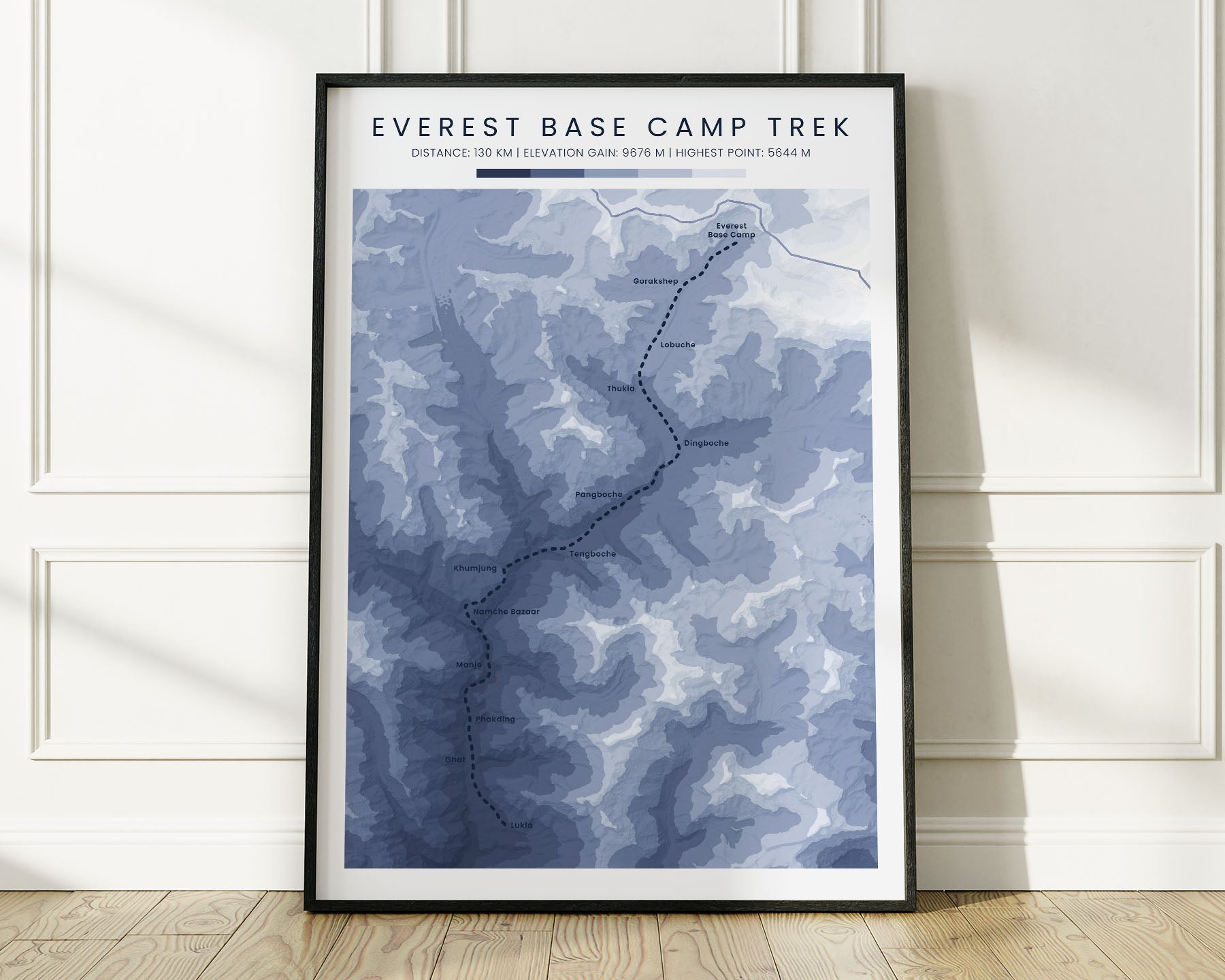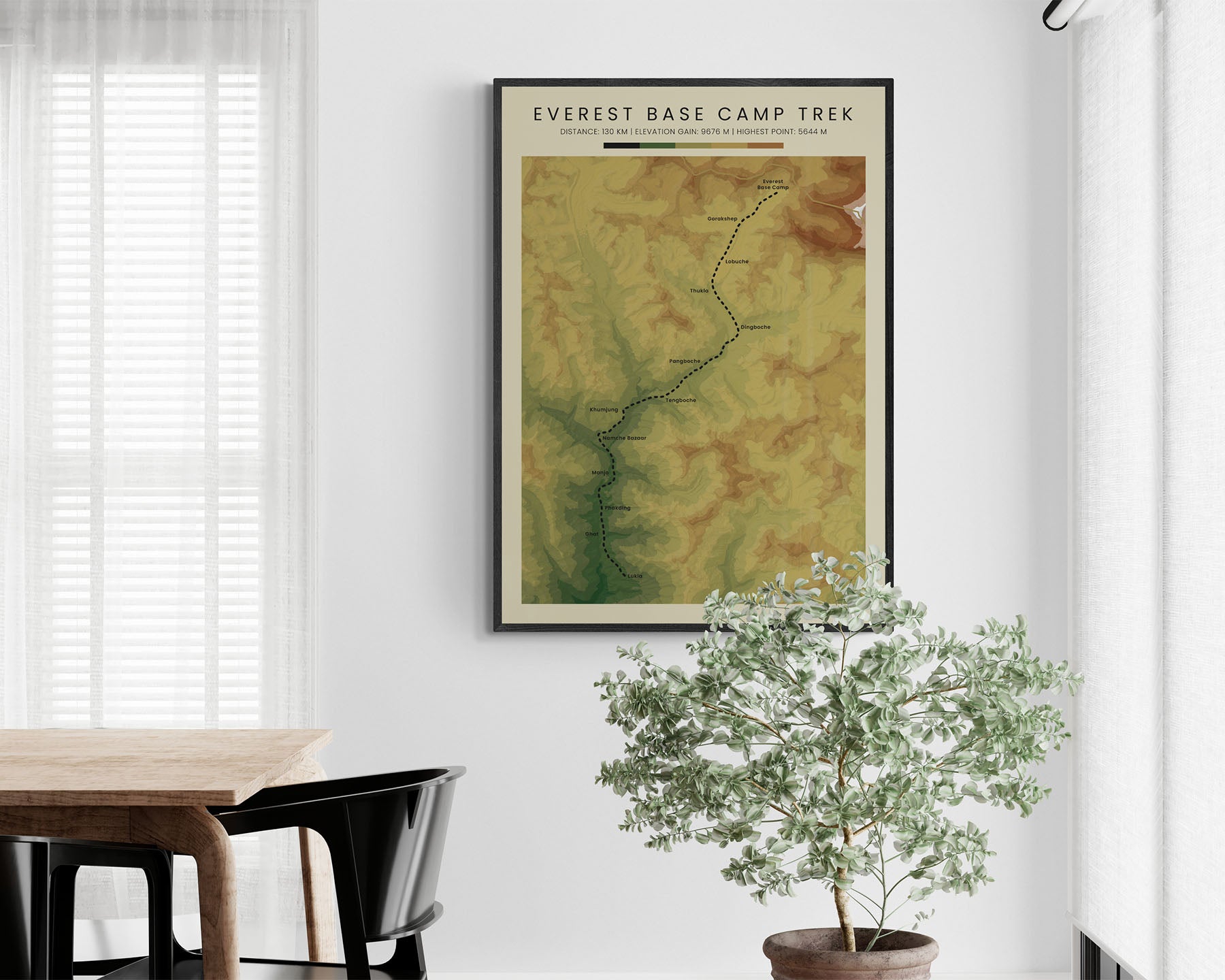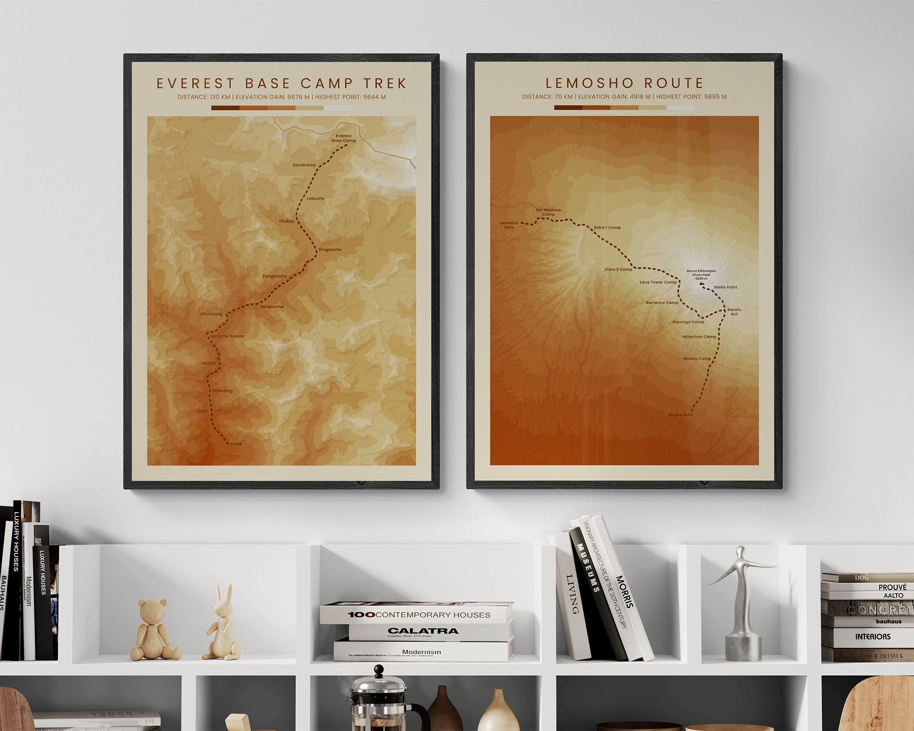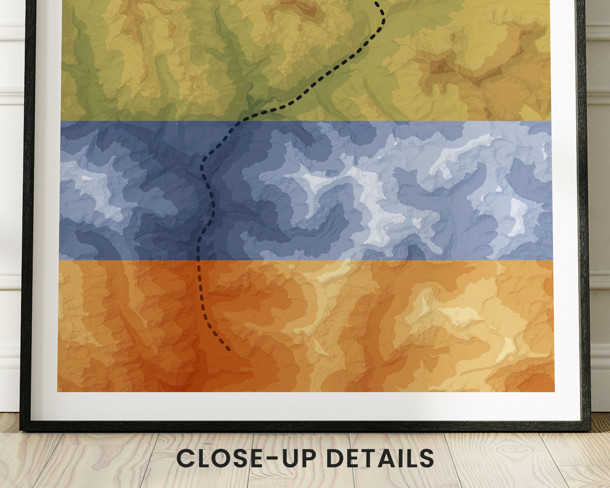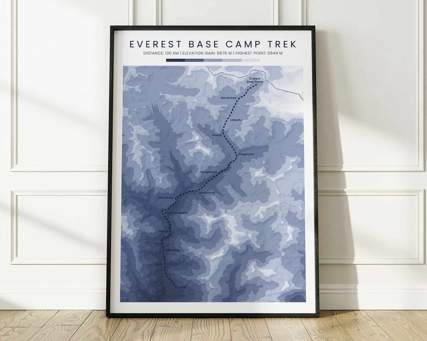
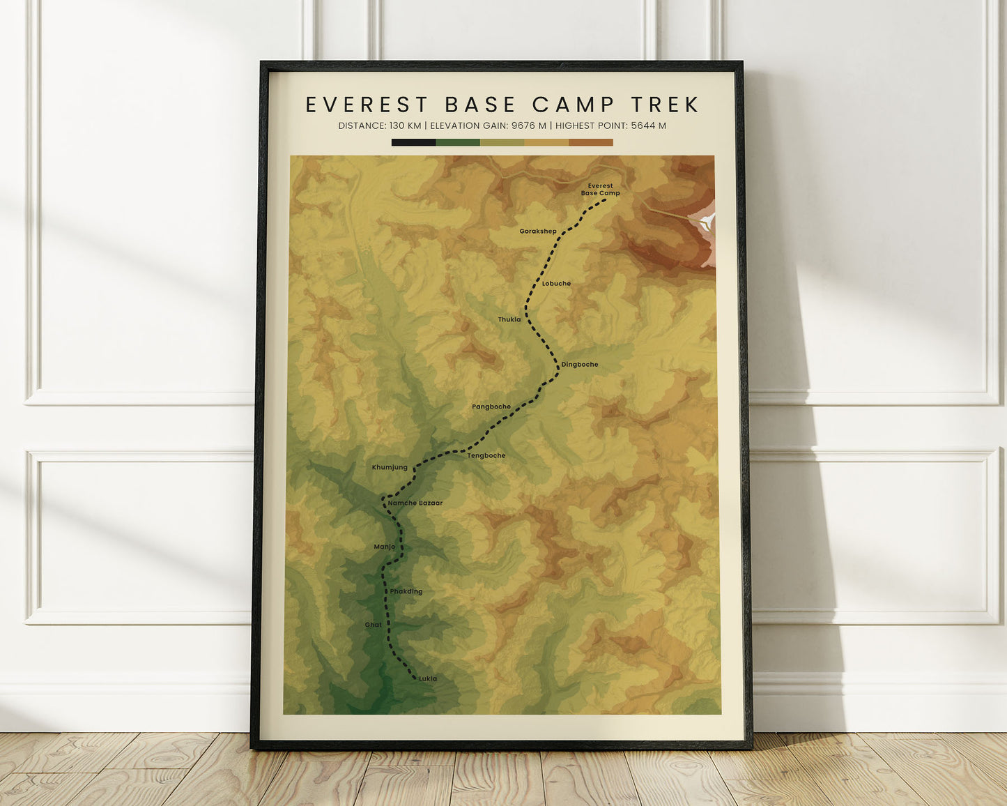
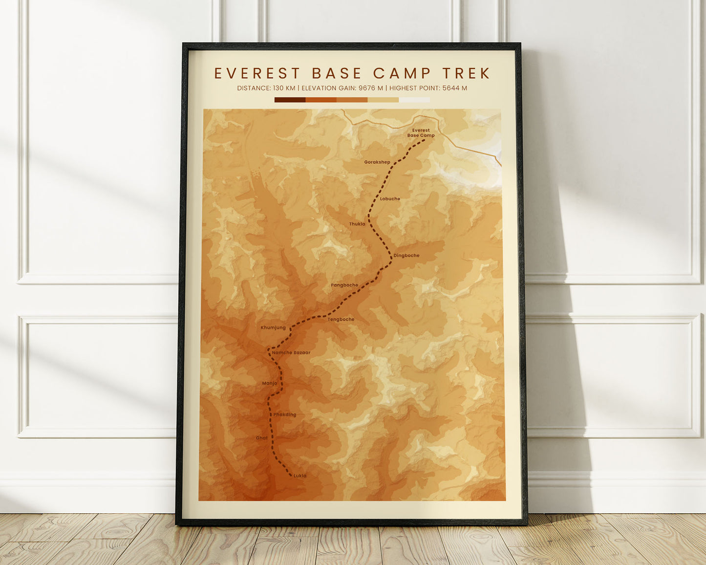

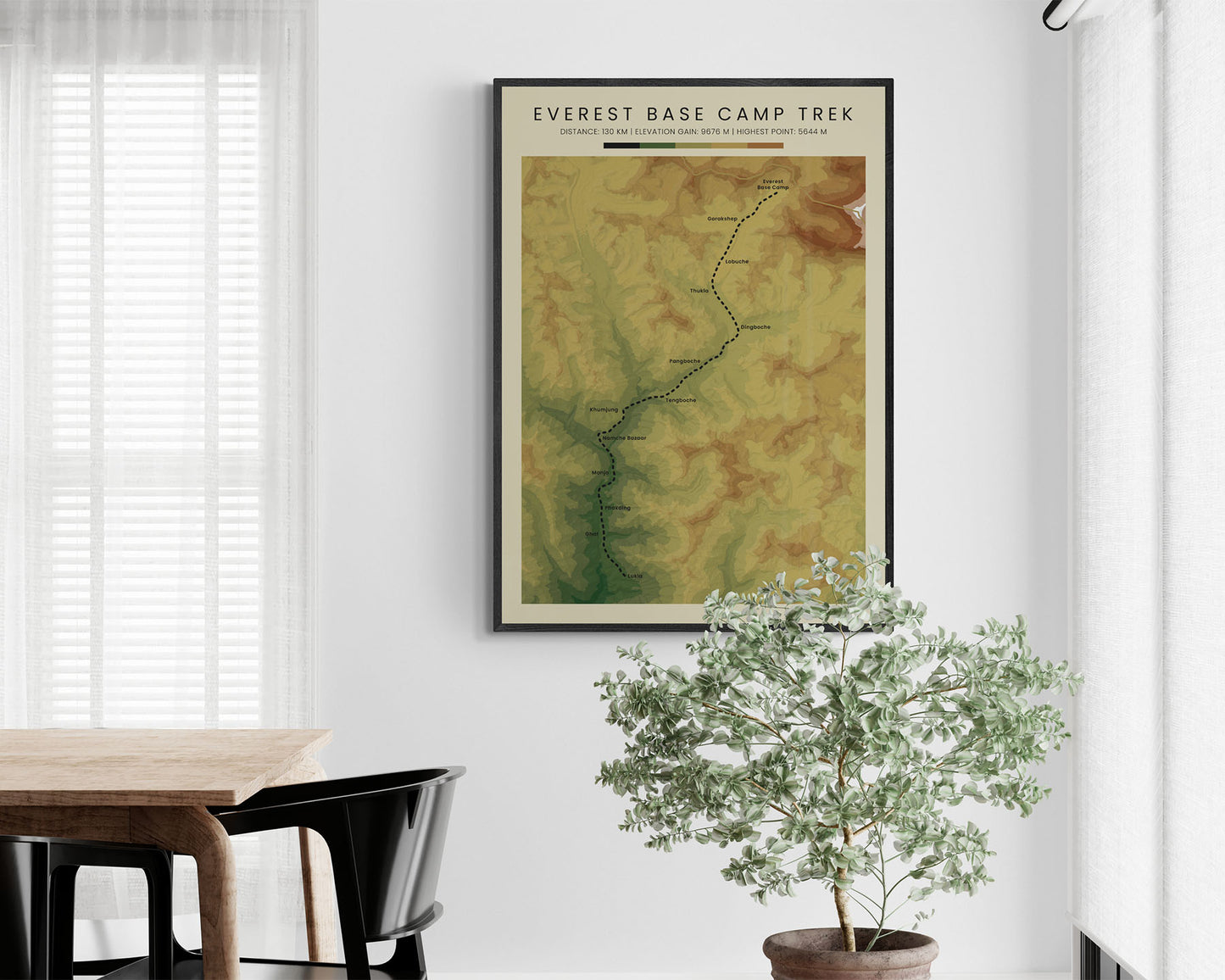
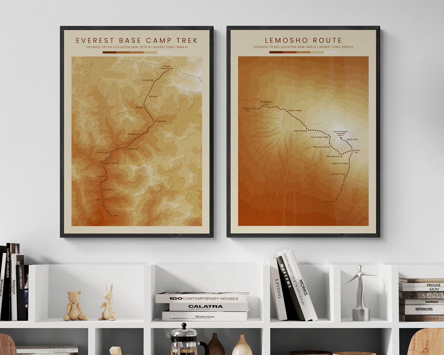
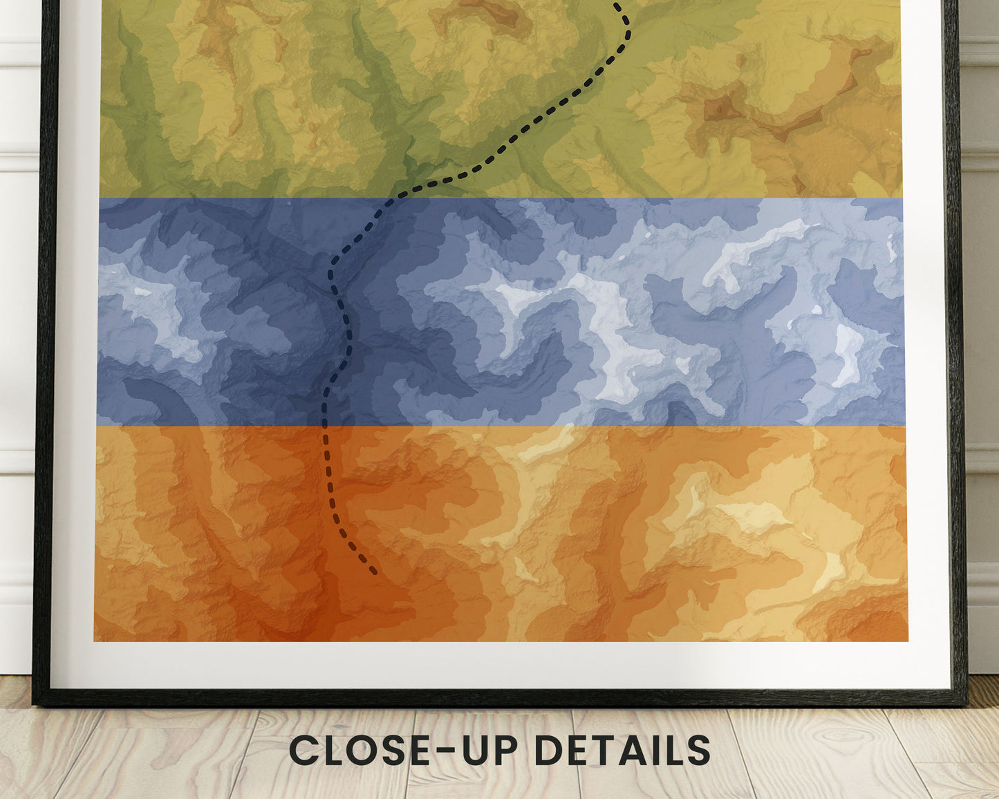

A poster that shows a topographic map of the Everest Base Camp Trek. It's made using open-source terrain elevation data from NASA and then turned into a beautiful map using complicated software. This geological map is offered in three different color options to look good in most interiors - Minimal Blue, Vintage Orange, and Realistic Green. It's a perfect gift for someone who has finished the Everest Base Camp Trek.
About the Mount Everest Base Camp Trek
The Everest Base Camp Trek, also called the Mount Everest Trek or simply EBC, is a popular thru-hike in the Himalayan Mountains, Nepal. It starts at Lukla and heads its way up to Everest Base Camp. Most people hike it because it involves some amazing views of the Himalayas, with deep valleys, steep mountain passes, and alpine nature.
Statistics About the Everest Base Camp Trek
- Start point: Lukla, Nepal
- End point: Everest Base Camp, Nepal
- Total distance: 80 miles / 130 km
- Total altitude gain/loss: 32 044 ft / 9676 m
- Highest point: 18 519 ft / 5644 m (Kala Patthar)
- Countries crossed: Nepal
- Time to finish: Usually 11-14 days

