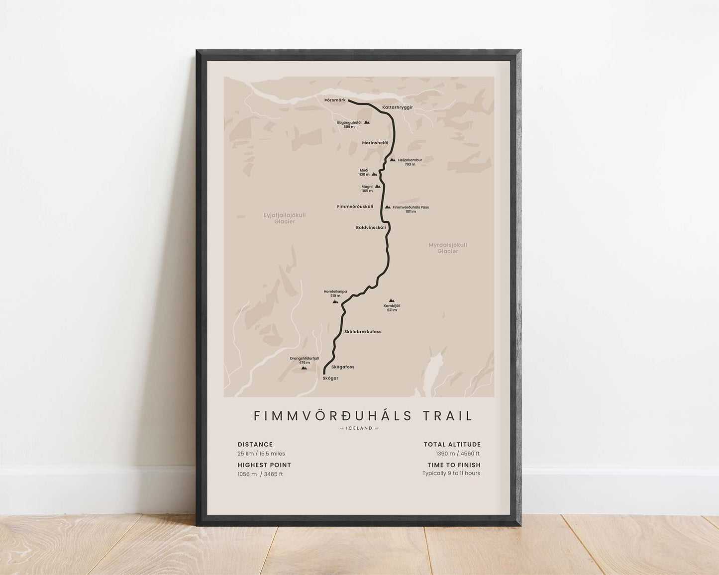
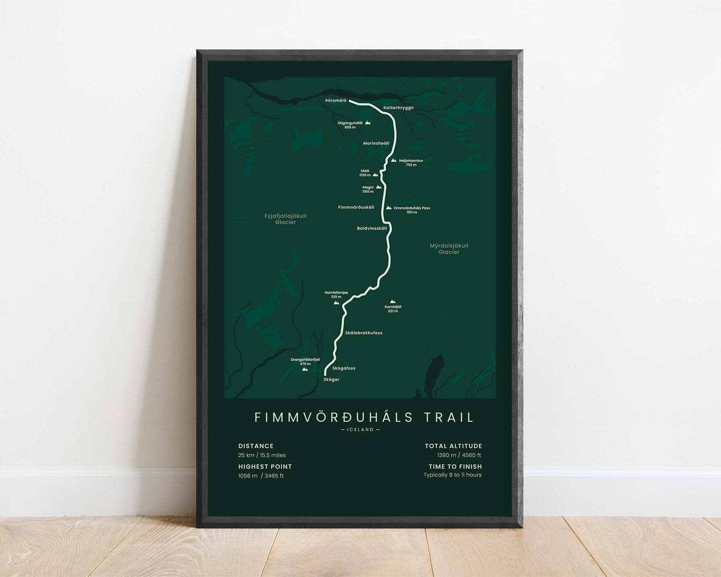
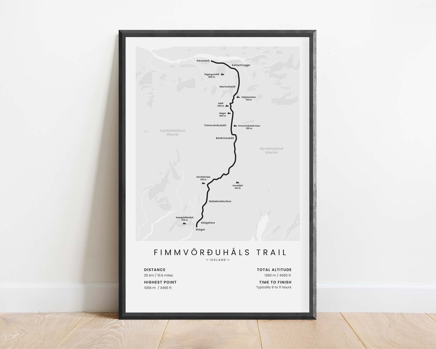
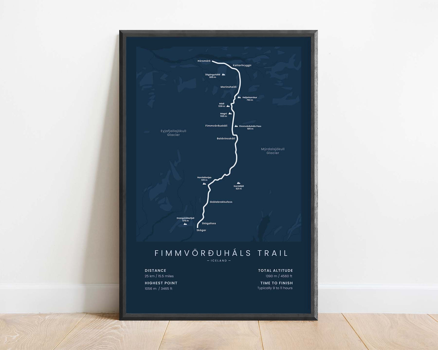
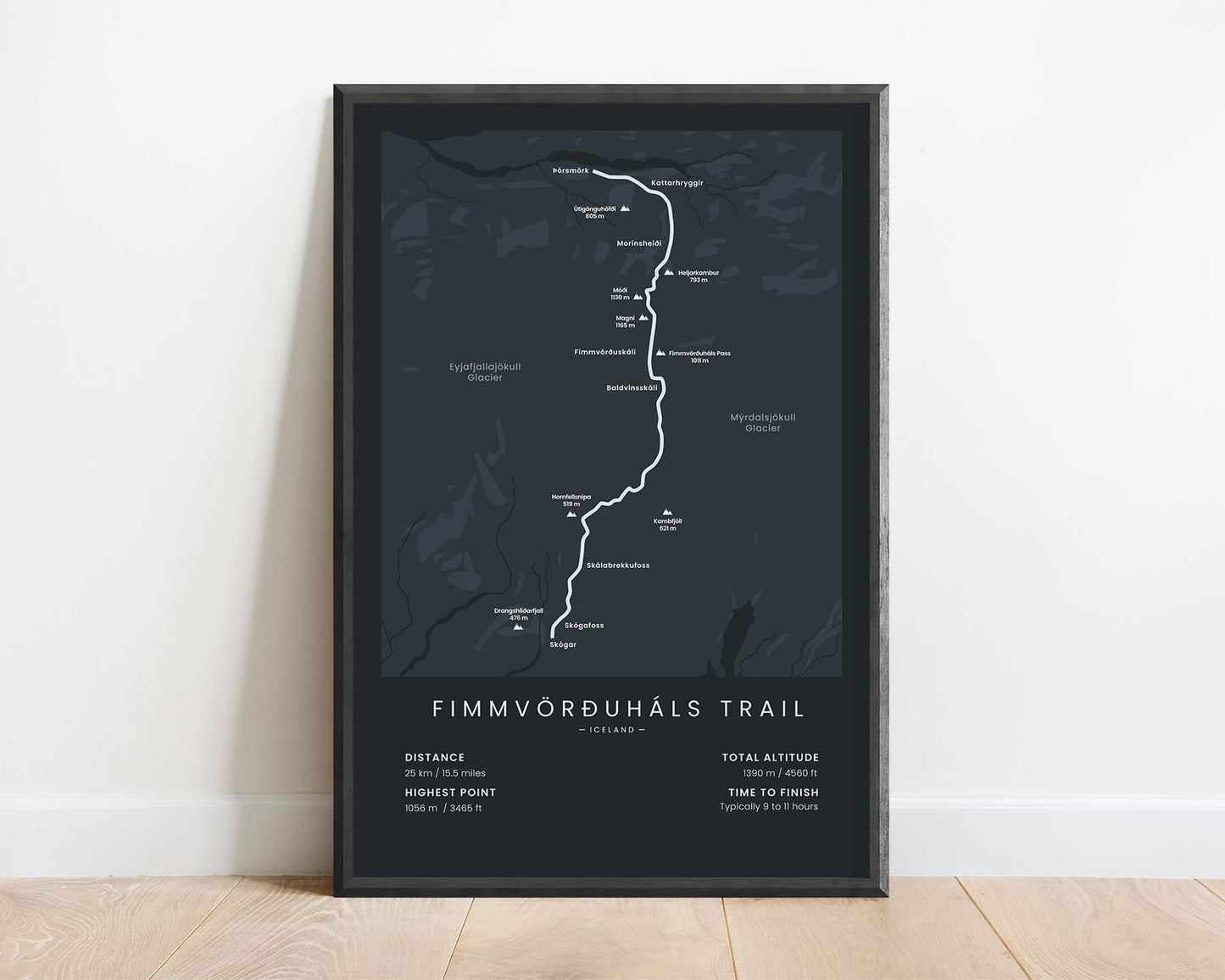


A minimalistic print that shows the map of the Fimmvörðuháls hiking trail in Iceland. It shows the main route of the trek, both glaciers, important towns, and other points of interest, and essential statistics about it at the bottom. If you've completed this hike, then this poster will offer a great way to remember your adventure.
About the Fimmvorduhals Trail
The Fimmvörðuháls (Fimmvorduhals) trek is one of the most popular hiking trails in Iceland. It's almost 25 km long, stretching from Skógar to Þórsmörk, although it can also be hiked in the other direction. This trail is so popular because it goes through a mountain pass between two glaciers - Eyjafjallajökull and Mýrdalsjökull. It's a fairly difficult trek, involving over 1000m of elevation gain, and the trail itself goes through very tough terrain with a high risk of sudden weather changes. That's why a lot of people complete it in 2 days and choose to spend the night in one of the mountain huts along the way.
Statistics About the Fimmvörðuháls Trail
- Start point: Skógar, Iceland
- End point: þórsmörk (Thorsmork), Iceland
- Total distance: 25 km / 15.5 miles
- Total altitude gain/loss: 1390 m / 4560 ft
- Highest point: 1056 m / 3465 ft
- Countries crossed: Iceland
- Points of Interest: Eyjafjallajökull and Mýrdalsjökull glaciers
- Time to finish: Typically 9 to 11 hours


