


A poster of the Rota Vicentina Fishermen's Trail in Portugal. It shows a topographic contour map of the area, an elevation profile of the trail, and also some key points of interest.
About the Fishermen’s Trail
The Fishermen’s Trail, part of the Rota Vicentina network, is one of Portugal’s most renowned long-distance coastal hiking routes. Following the Atlantic coastline from Praia de São Torpes near Sines to Lagos, the trail traces historic paths once used by local fishermen to access beaches and fishing grounds. Widely regarded as one of the world’s finest coastal walks, it features narrow single-track trails, long stretches of sand, and frequent elevation changes along dramatic sea cliffs. Hikers pass through traditional fishing villages, secluded beaches, and rugged headlands, with sweeping ocean views throughout. The route is rich in coastal wildlife and native flora, including migratory birds and cliff-dwelling species. Due to its sandy terrain and exposure, the trail can be physically demanding despite modest distances. Late spring is considered one of the best times to hike, when wildflowers are in bloom, and temperatures remain mild.
Statistics About the Fishermen’s Trail
- Start point: São Torpes, Portugal
- End Point: Lagos, Portugal
- Total distance: 141 miles / 227 km
- Total altitude gain/loss: 12,444 ft / 3793 m
- Highest point: 554 ft / 169 m
- Regions crossed: Faro, Beja, and Setubal
-
Time to finish: Typically 12 to 14 days

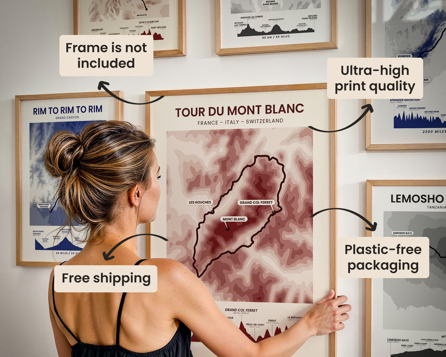
High Quality Matte Prints
Our posters are manufactured using ultra high definition printers with very rich and vivid colors. They're printed on thick, 189 g/m² matte paper sourced from Japan.

Plastic-Free Packaging
Our prints are shipped in cardboard triangles instead of typical tubes. This is better for the enviroment, because no plastic is used in the packaging.

The Right Size & Color for You
Our sizes are offered in imperical and metrical measurements, so it's easier for you to find the right frame locally.

Free Shipping With 2+ Posters
Save money by adding another poster to your cart (maybe as a gift for one of your friends or close relative), and get free shipping, even on international orders.

No Import Fees*
We have fulfillment locations in the United States, Canada, the United Kingdom, Spain, and Latvia. They're always manufactured from the closest one to your shipping address, so you can avoid paying import tax, get quicker deliveries, and reduce your carbon footprint.

30-day Satisfaction Guarantee
If, for whatever reason, you change your mind, we accept returns within 30 days of the delivery date.