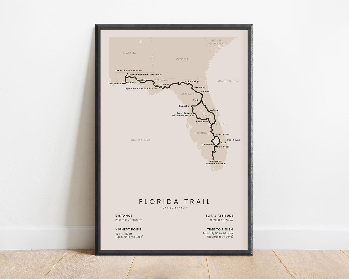
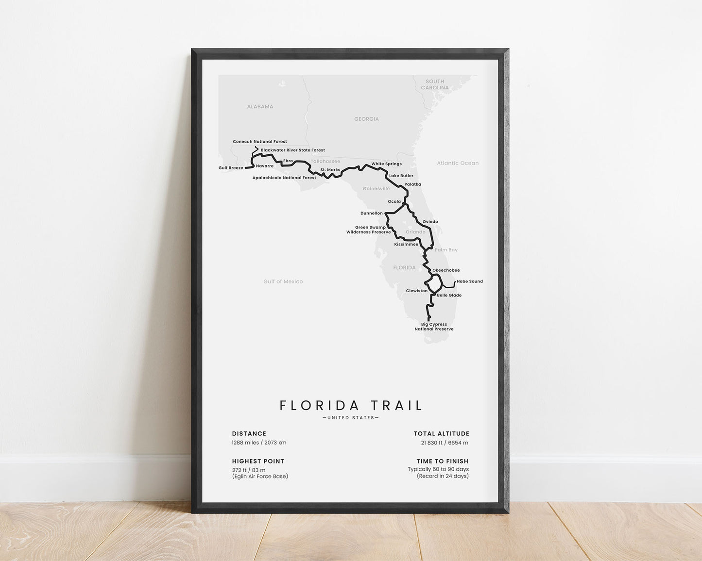
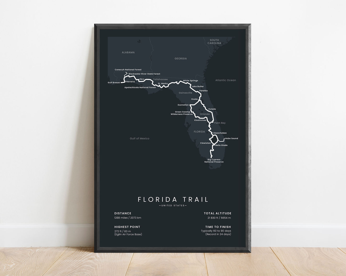

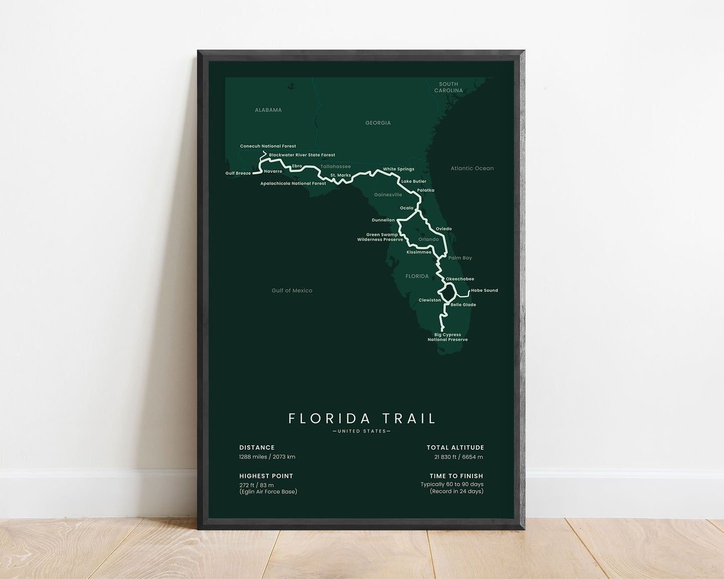
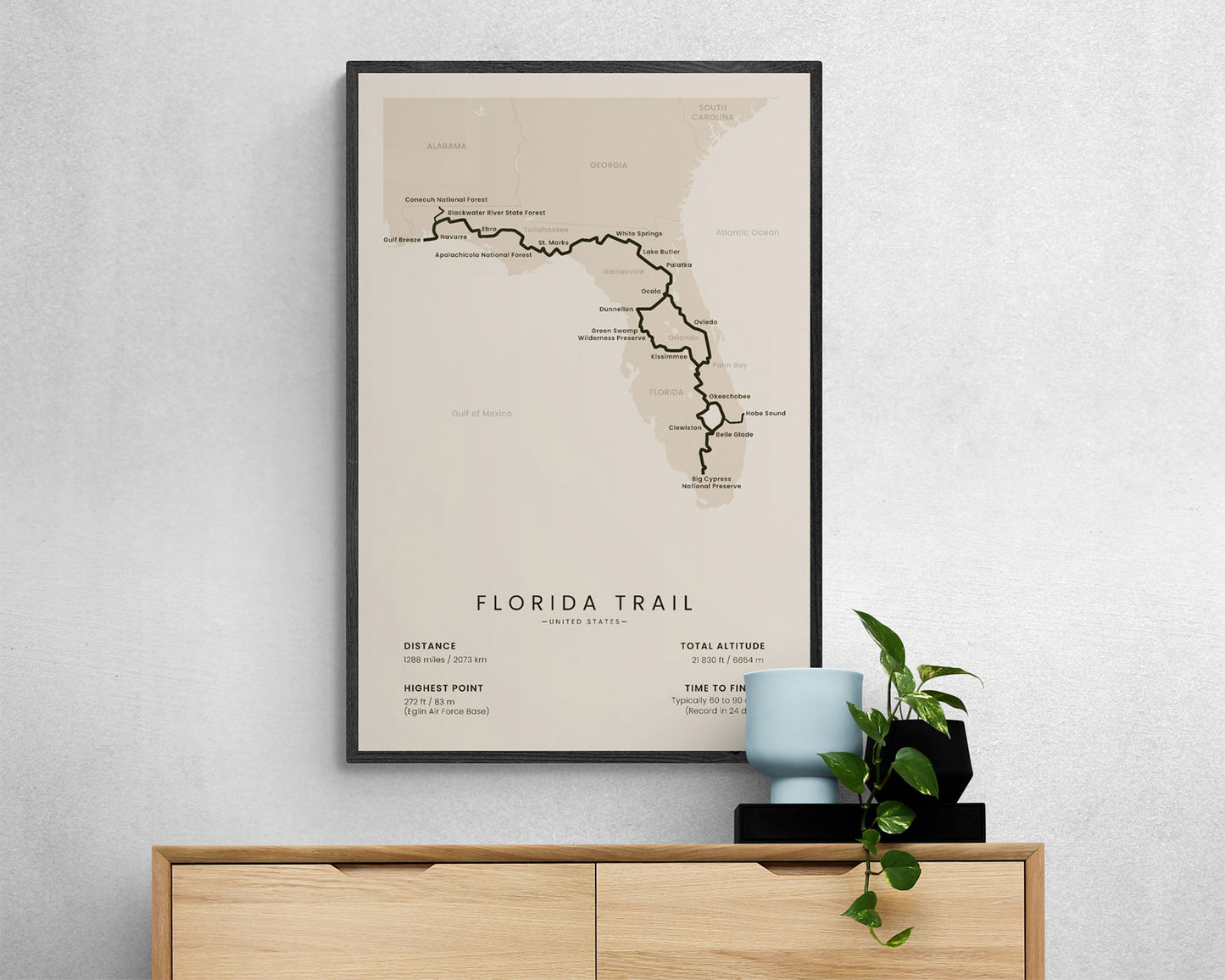

A print of the Florida National Scenic Trail, which shows the full map of the entire route. In addition to that, it also shows the main cities and points of interest, and the main statistics about the trail, like the total distance, elevation gain, highest point, and more. It will fit into most modern and minimal interiors and will also be a unique gift to someone who is hiking the Florida Trail one section at a time.
About the Florida Trail
The Florida Trail is one of the 11 National Scenic trails due to its rich and diverse landscape. While hiking from the Big Cypress National Preserve to Fort Pickens, you'll cross the entire state of Florida, and encounter some interesting sceneries, including lush forests, vast wetlands, lots of lakes and rivers, wild animals, and walk through many cultural attractions. The Florida trail is also unique because it's best hiked during the winter season due to fewer mosquitoes and bugs, and cooler temperatures. It's unlike any other thru-hike within the United States, which is why it's such a popular thru hike.
Statistics About the Florida Trail
- Start point: Fort Pickens, Florida, United States
- End point: Big Cypress National Preserve, Florida, United States
- Total distance: 1288 miles / 2073 km
- Total altitude gain/loss: 21 830 ft / 6654 m
- Highest point: 272 ft / 83 m (Eglin Air Force Base)
- Countries crossed: United States
- States Crossed: Florida
- Time to finish: Usually 60-90 days
- Record finish time: 24 days
- Best time to hike: October - April


