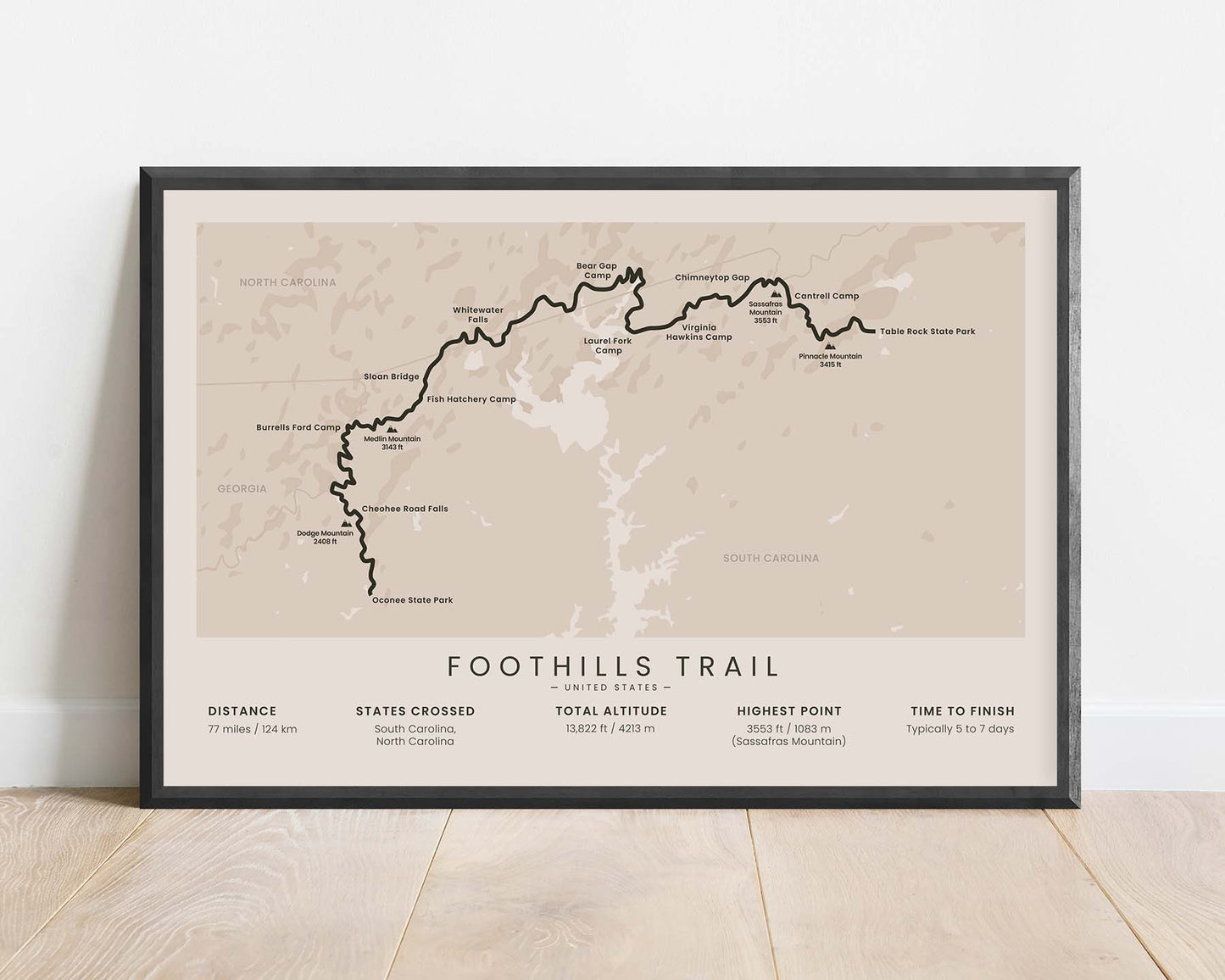
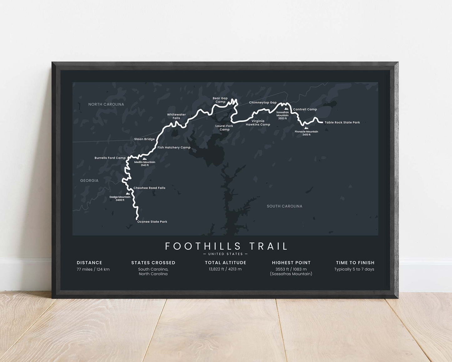
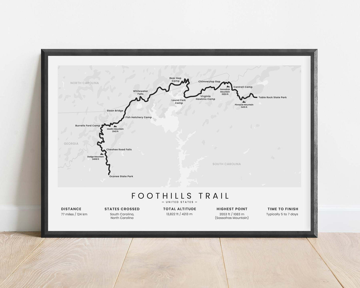
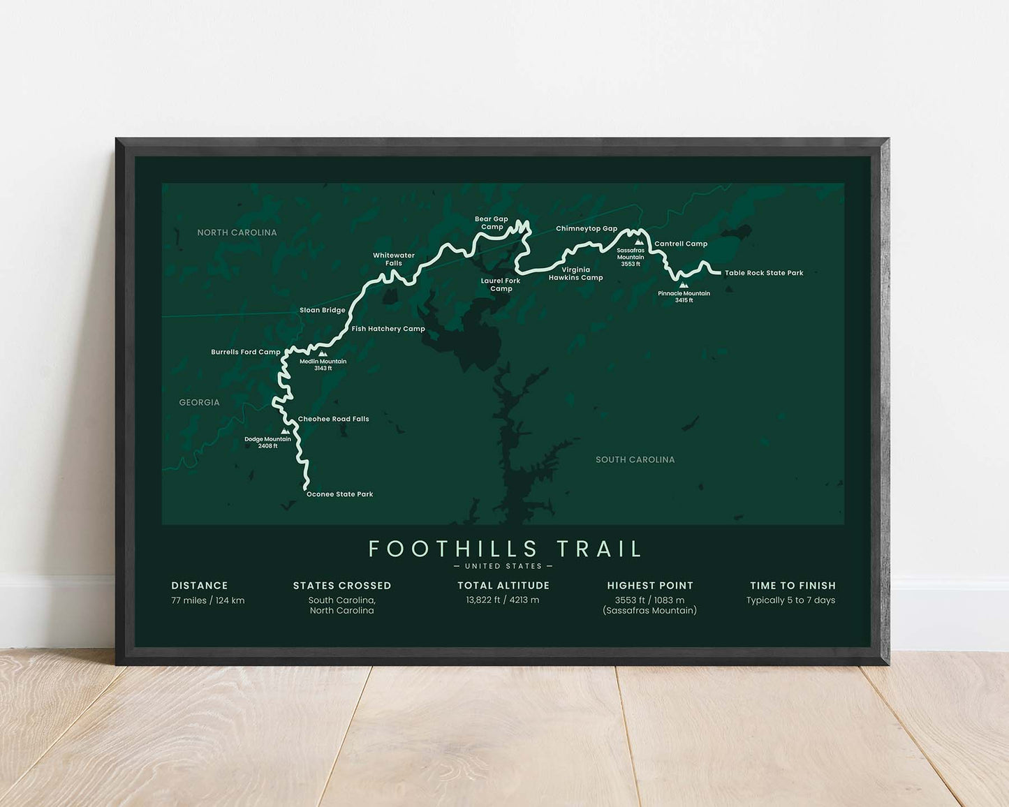
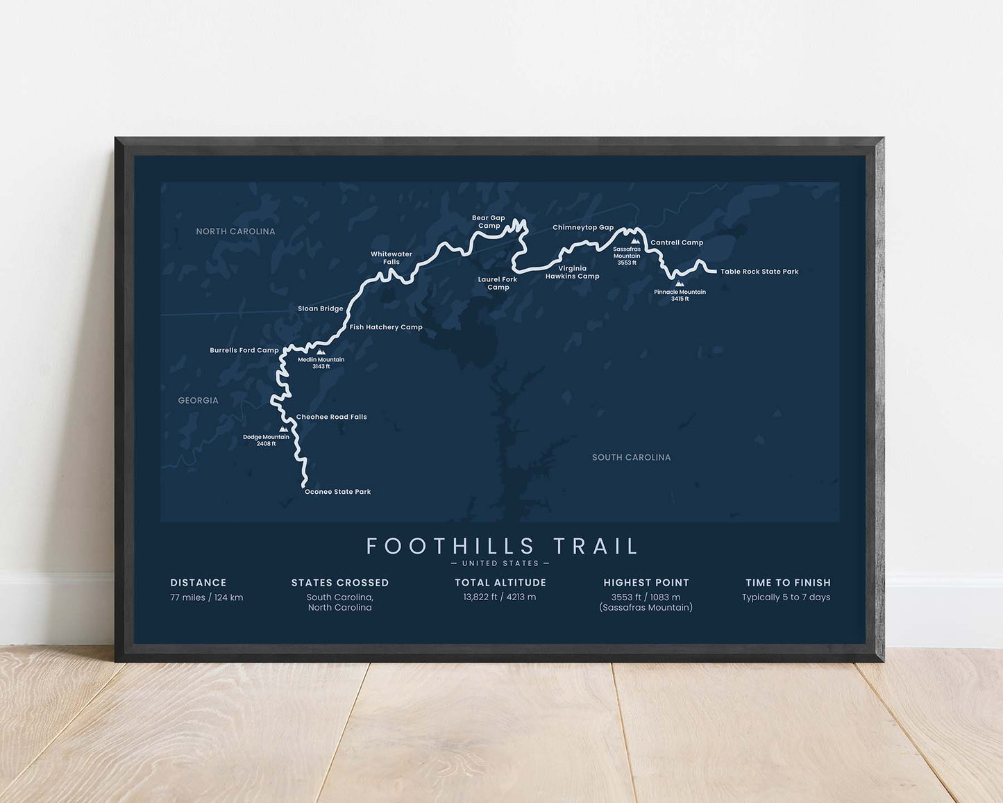


A minimalistic map of the Foothills Trail in North and South Carolina. It shows the entire route of this multi-day-hike, key points of interest and protected areas, and also important statistics about it at the bottom. If you've finished the Foothills Hiking Trail, then this unique wall art will offer a great way of remembering this adventure.
About the Foothills Trail
The Foothills National Recreation Trail is a long-distance hiking trail in North Carolina and South Carolina in the United States. It goes from the Oconee State Park to Table Rock State Park, taking roughly 5-10 days to complete. It involves many river and steam crossings and a section of it goes along Lake Jocassee. When hiking the Foothills Trail, you'll likely encounter wildlife and see a lot of different wild and protected areas.
Statistics About the Foothills Trail
- Start point: Oconee State Park, South Carolina
- End point: Table Rock State Park, South Carolina
- Total distance: 77 miles / 124 km
- Total altitude gain/loss: 13 822 ft / 4213 m
- Highest point: 3553 ft / 1083 m (Sassafras Mountain)
- Points of interest: Sumter National Forest, Ellicott Rock Wilderness, Lake Jocassee, North Carolina, South Carolina
- Countries crossed: United States
- Time to finish: Typically 5 to 7 days


