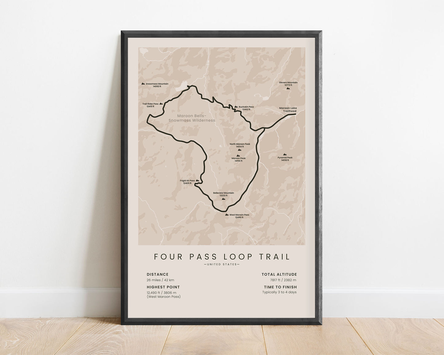
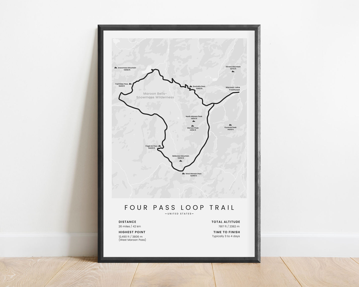
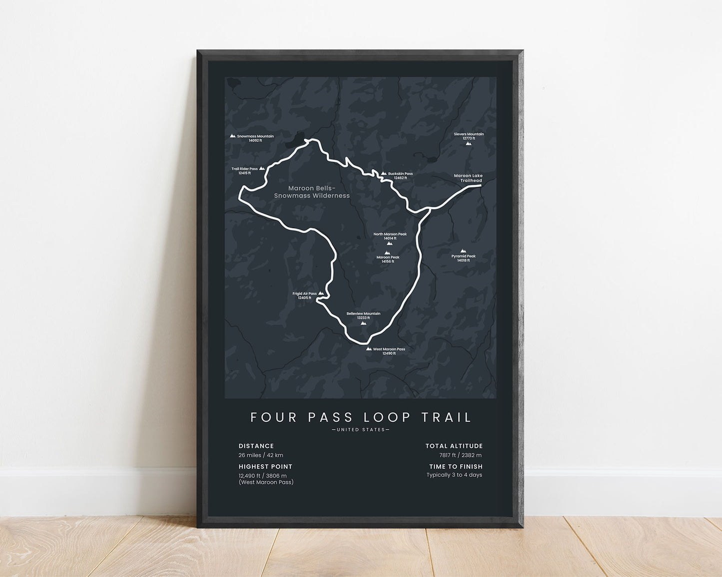
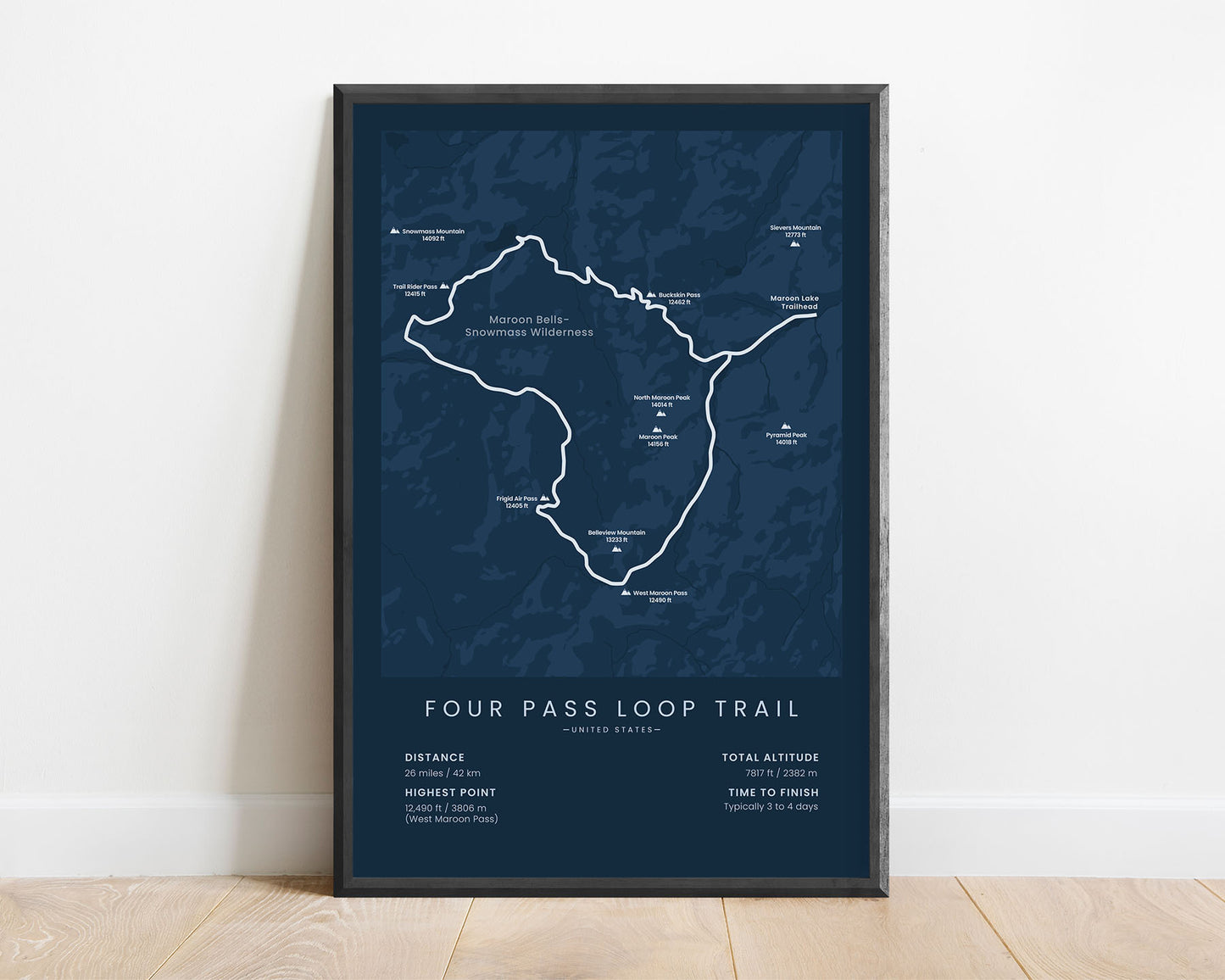
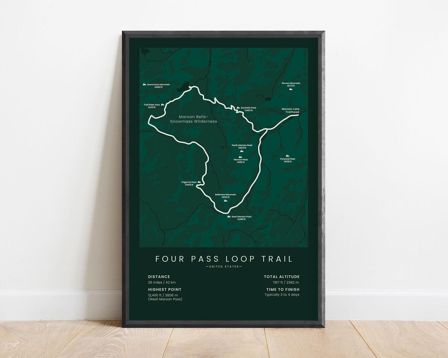


A minimal map of the Four Pass Loop hiking trail near Aspen, Colorado, United States. This poster shows the entire route of the trail and other key details about it at the bottom, like its main distance, highest point, elevation gain, and more.
About The Four Pass Loop
The Four Pass Loop is a 26-mile-long hiking trail near Aspen, Colorado, United States. It starts and ends at the Maroon Lake Trailhead, just a few miles from Aspen. The Four Pass Loop is so popular because it takes you around the Maroon Peak through four high-altitude mountain passes (Buckskin Pass, Trail Rider Pass, Frigid Air Pass, and West Maroon Pass). The trail goes through the Maroon Bells - Snowmass Wilderness with some spectacular views of the surrounding mountains, crystal-clear lakes, and lush forests.
Statistics About the Four Pass Loop Hiking Trail
- Start/End point: Maroon Lake Trailhead, Aspen, Colorado, United States
- Total distance: 26 miles / 42 km
- Total altitude gain/loss: 7817 ft / 2382 m
- Highest point: 12 490 ft / 3806 m (West Maroon Pass)
- Points of interest: Aspen, Moon Bells, Crater Lake, Maroon Lake, Geneva Lake, Snowmass Lake, Maroon Bells - Snowmass Wilderness
- Time to finish: Typically 3 to 4 days


