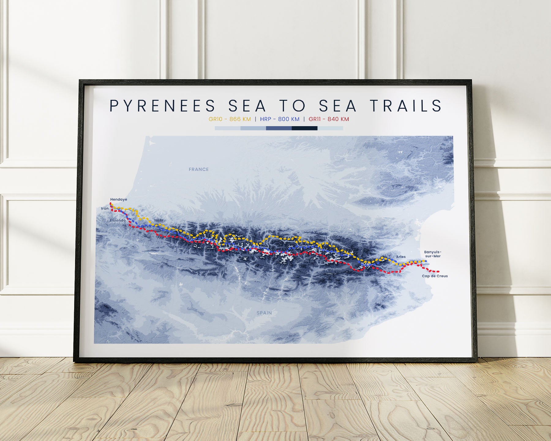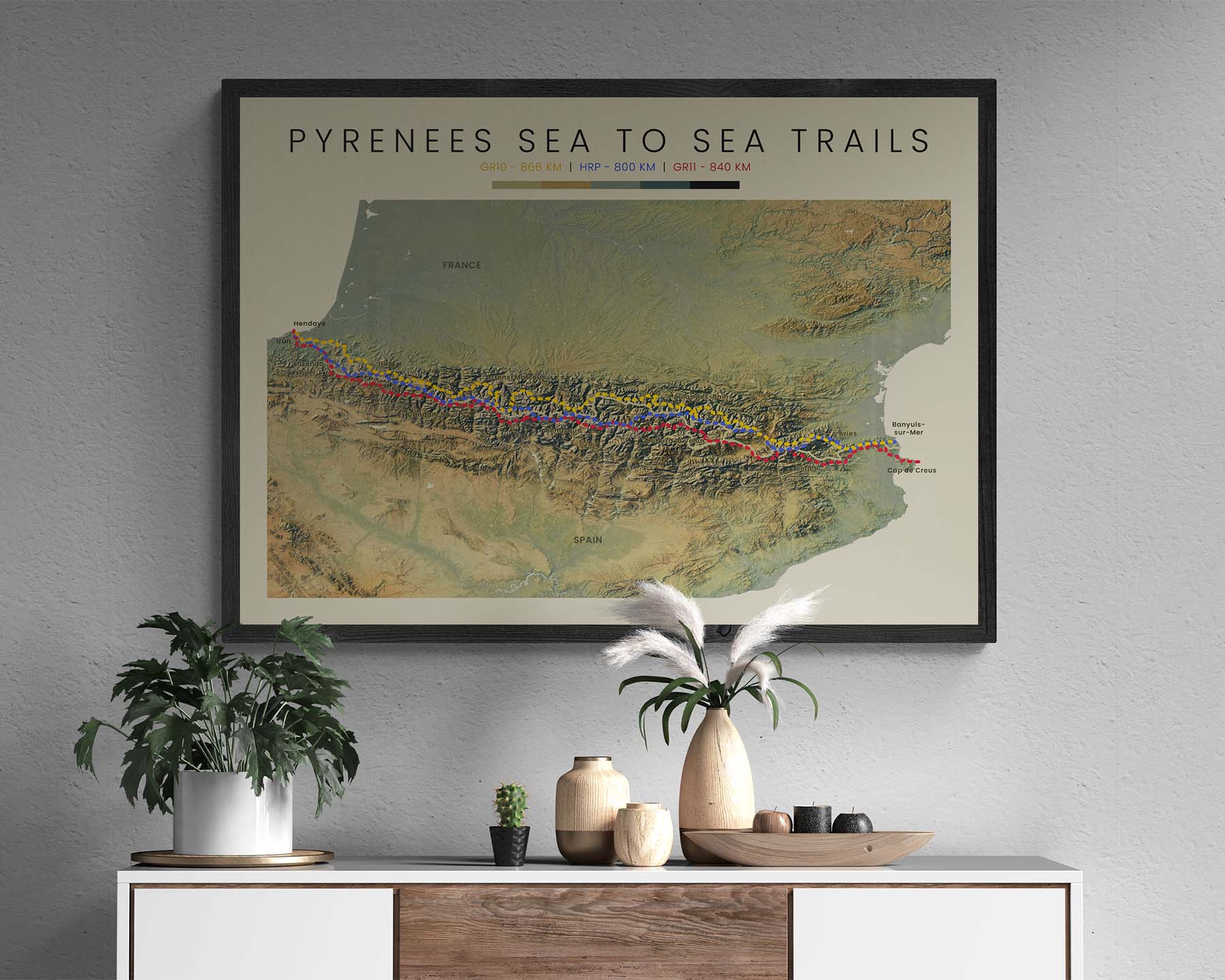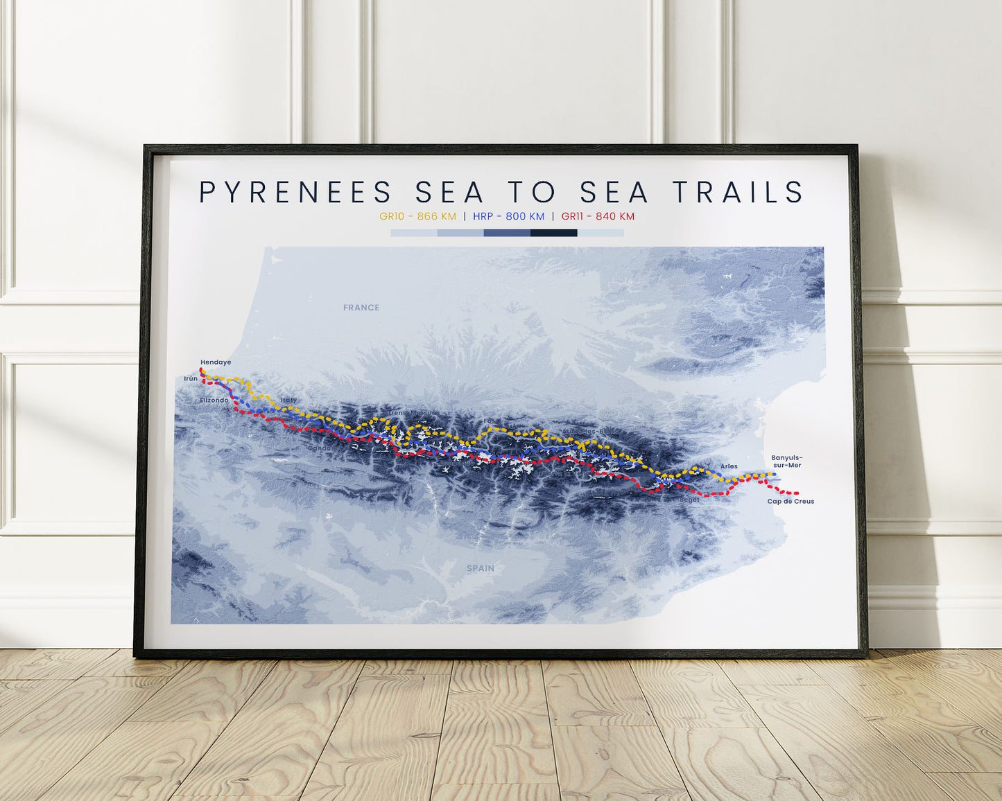
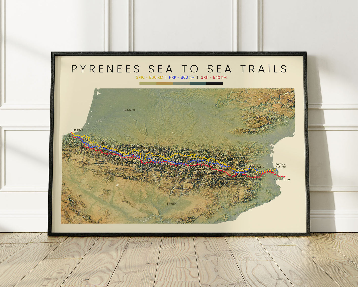
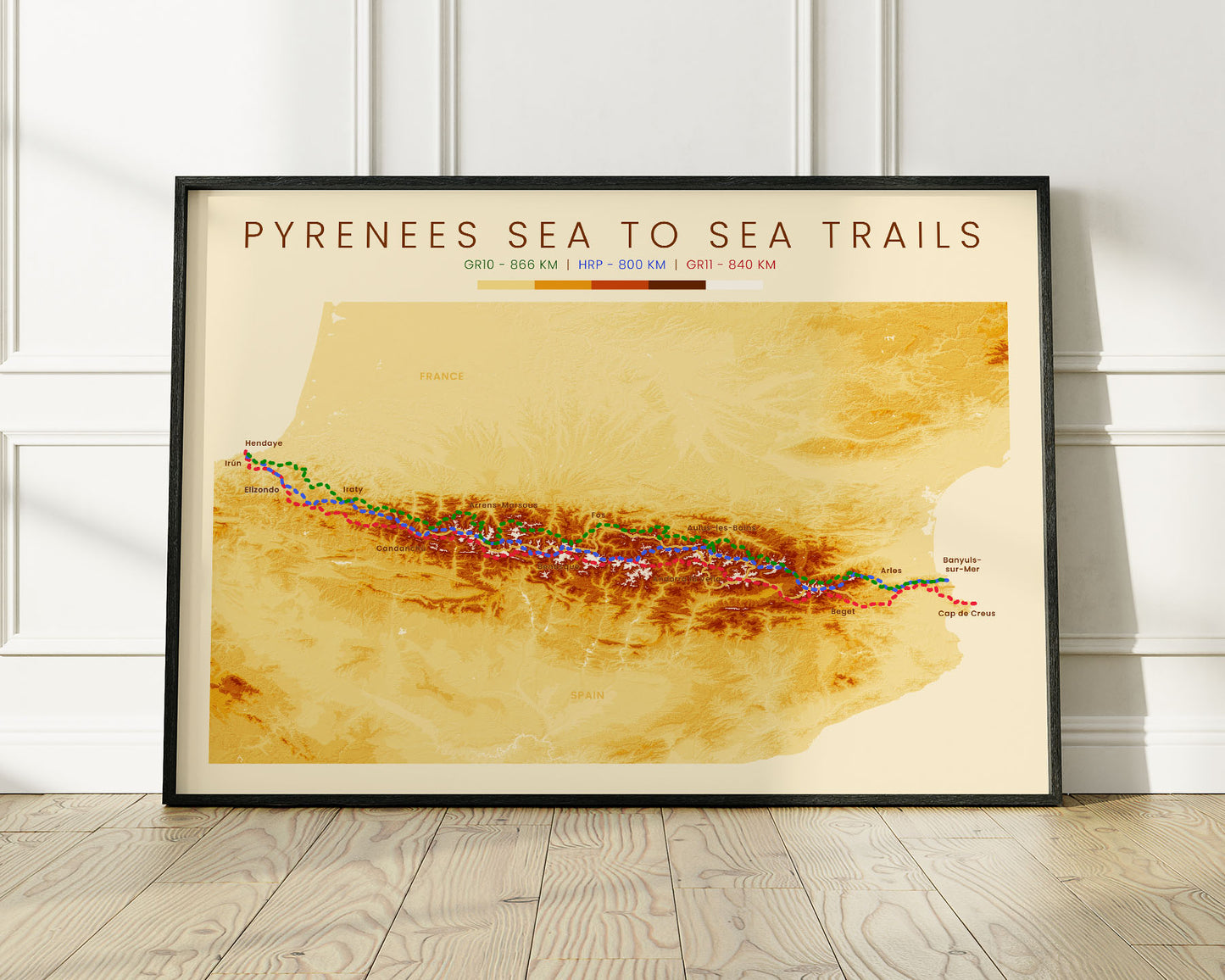
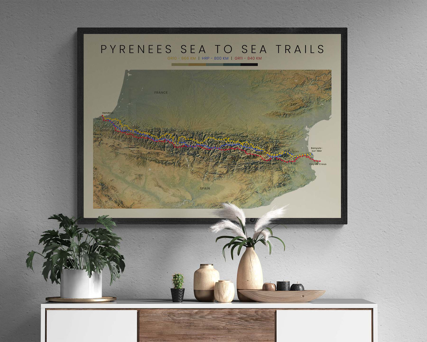



A topographic print that displays three long-distance hiking routes that cross the Pyrenees mountain range from the Bay of Biscay to the Balearic Sea - the GR11, HRP, and the GR10.
About the GR10 - HRP - GR11 Trails
The Pyrenees Mountain range stretches from the Atlantic Ocean (Bay of Biscay) to the Mediterranean Sea (Balearic Sea). There are 3 main thru-hiking routes that cross the Pyrenees from the west side to the east (or vice versa) - the GR11 (Ruta Transpirenaica), the HRP (Haute Route Pyrenees), and the GR10 (The Pyrenean Way). All of them are very similar, but broadly speaking, the GR11 goes mostly through Spain, GR10 mostly through France, and the HRP through both countries, but crossing many more mountain peaks at higher elevations. A lot of people complete many of these trails or do a mix of all three because, in a lot of points, they intersect. All three trails are somewhat remote, and offer some amazing scenery of Alipne European landscapes, cultural sites, and historic mountain towns.
Statistics About the Pyrenees Sea to Sea Trails
- GR10 total distance: 866 km / 538 miles
- GR10 total altitude gain/loss: 49 000 m / 160 761 ft
- GR10 highest point: 3298 m / 10 820 ft (Vignemale)
- HRP total distance: 800 km / 497 miles
- HRP total altitude gain/loss: 51 000 m / 167 323 ft
- HRP highest point: 3222 m / 10 571 ft (Pic Perdiguere)
- GR11 total distance: 840 km / 522 miles
- GR11 total altitude gain/loss: 39 000 m / 128 000 ft
- GR11 highest point: 2824 m / 9265 ft (Pic Superior de la Vaca)

