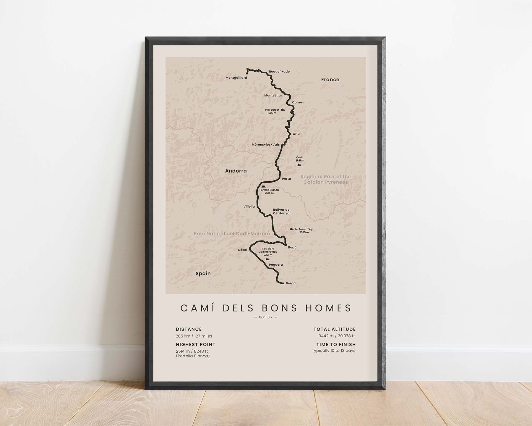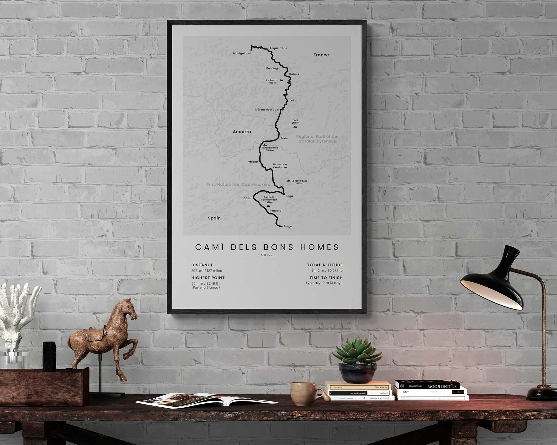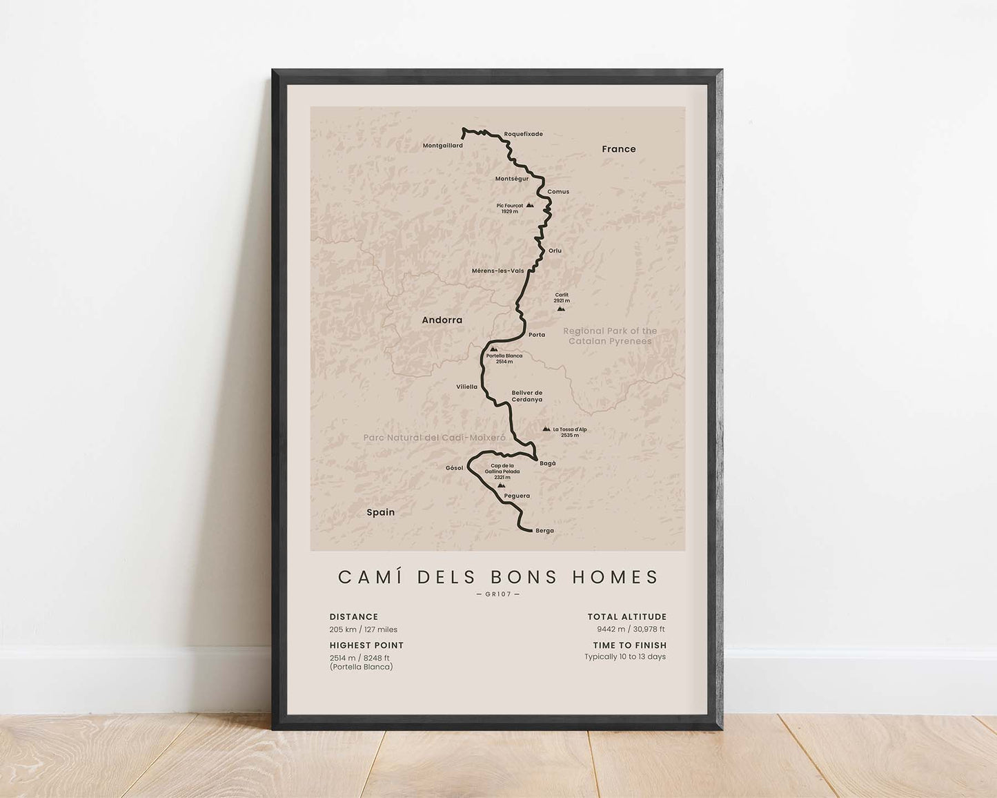
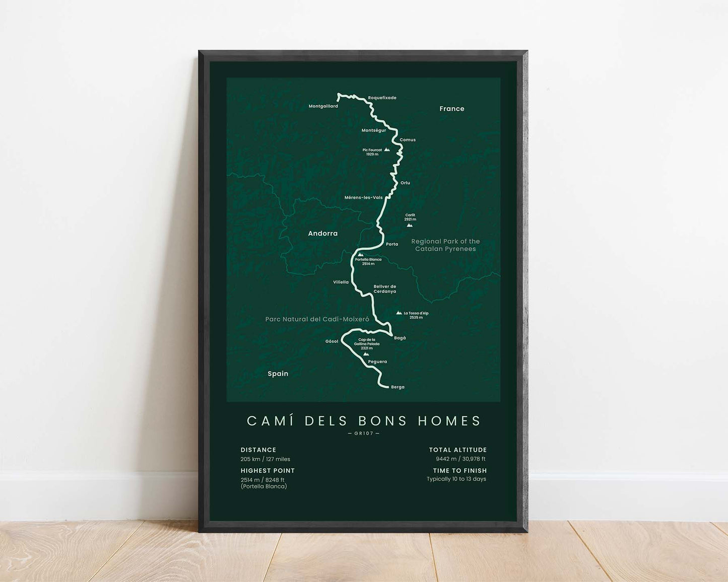
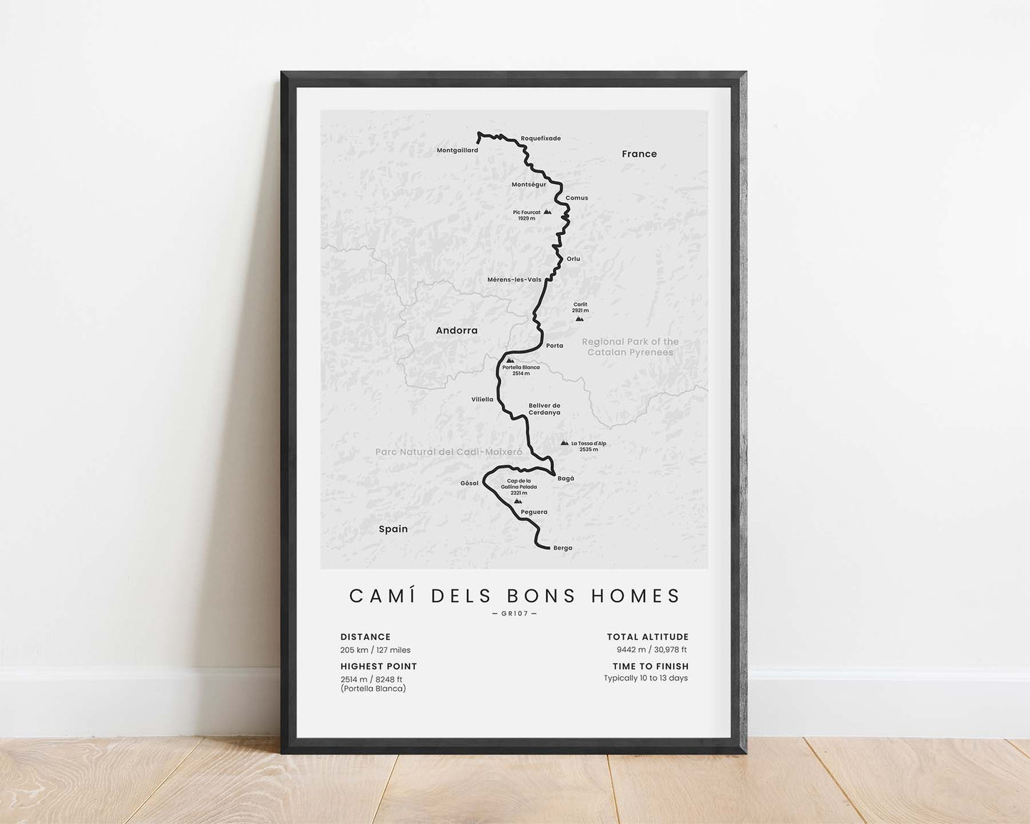
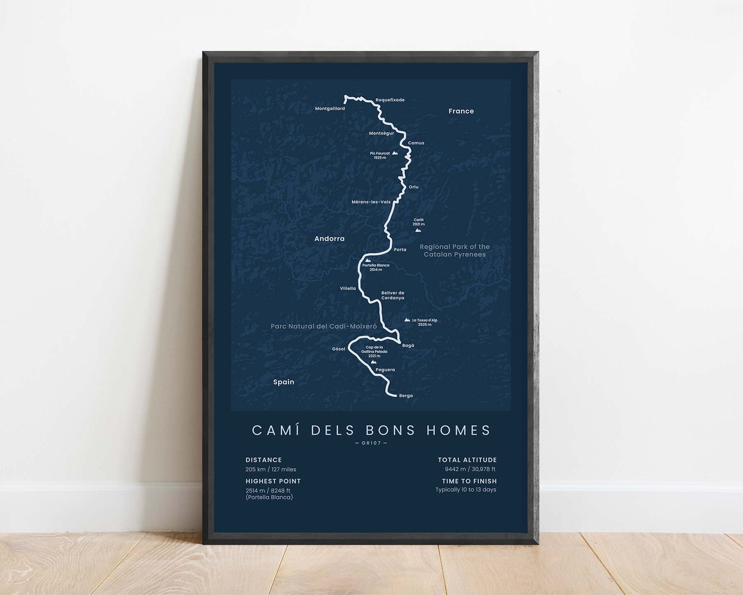
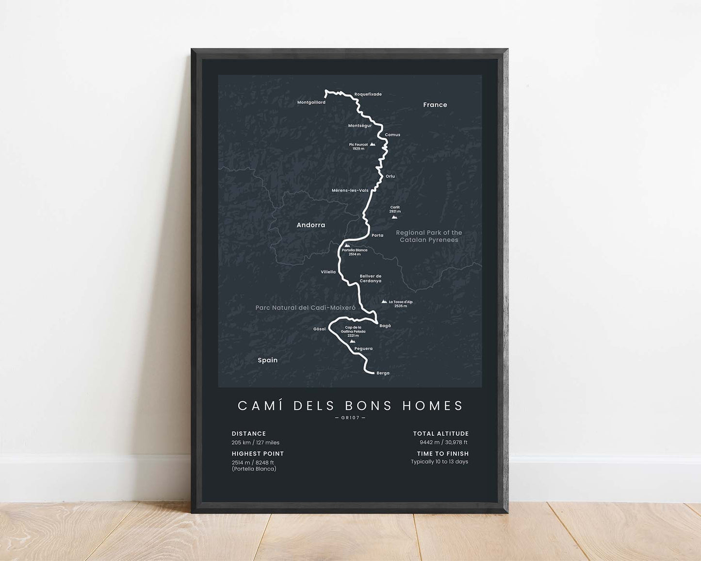
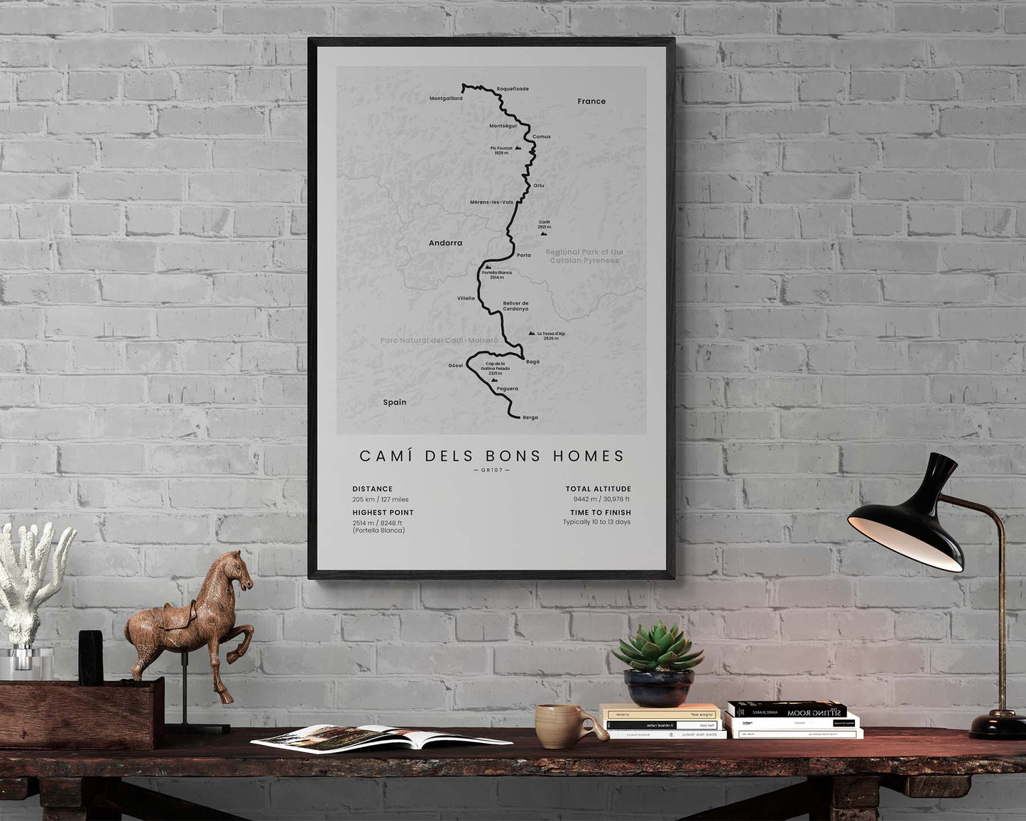


A minimalistic map of the GR107 (El Camí dels Bons Homes) hiking trail. It shows the full route across the Pyrenees, key villages and points of interest, the largest mountains, and important statistics about it at the bottom. If you plan to complete this thru-hike, then this poster will offer a great way to keep your eyes on the goal.
About the GR107 Hiking Trail
The GR107 hiking trail has a few other names as well, like El Camí dels Bons Homes, Il Chemin des Bonshommes, and the Path of the Good Men. It crosses the Pyrenees mountains starting at Foix, Ariege, France, goes through Andorra and finishes at Berga, Spain. It follows the historic path of the Cathars religious group. It's a fairly popular thru-hike but not a lot of people complete it every year, so when hiking it, you'll be able to enjoy some peacefulness and tranquility. It goes through many historic towns and Cathar sites and offers some amazing views of the Pyrenees Mountains, wildlife, and flora.
Statistics About the GR107
- Start point: Montgaillard, Ariege, France
- End point: Berga, Catalonia, Spain
- Total distance: 205 km / 127 miles
- Total altitude gain/loss: 9442 m / 30 978 ft
- Highest point: 2514 m / 8248 ft (Portella Blanca)
- Countries crossed: France, Andorra, Spain
- Time to finish: Typically 10 to 13 days

