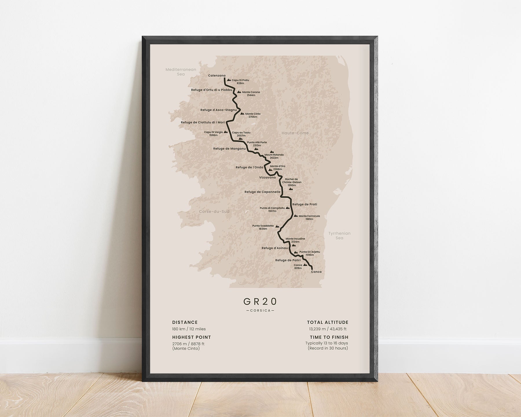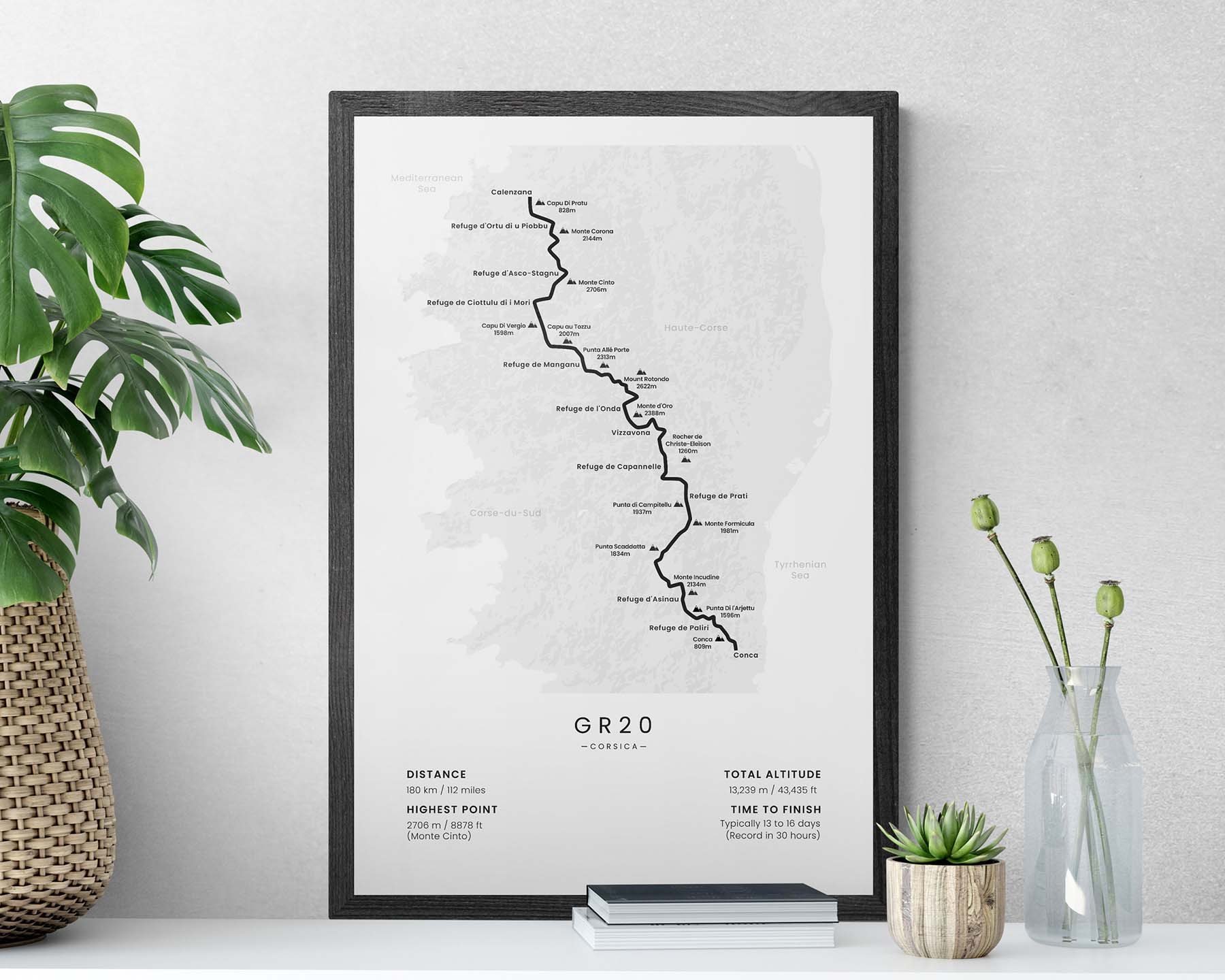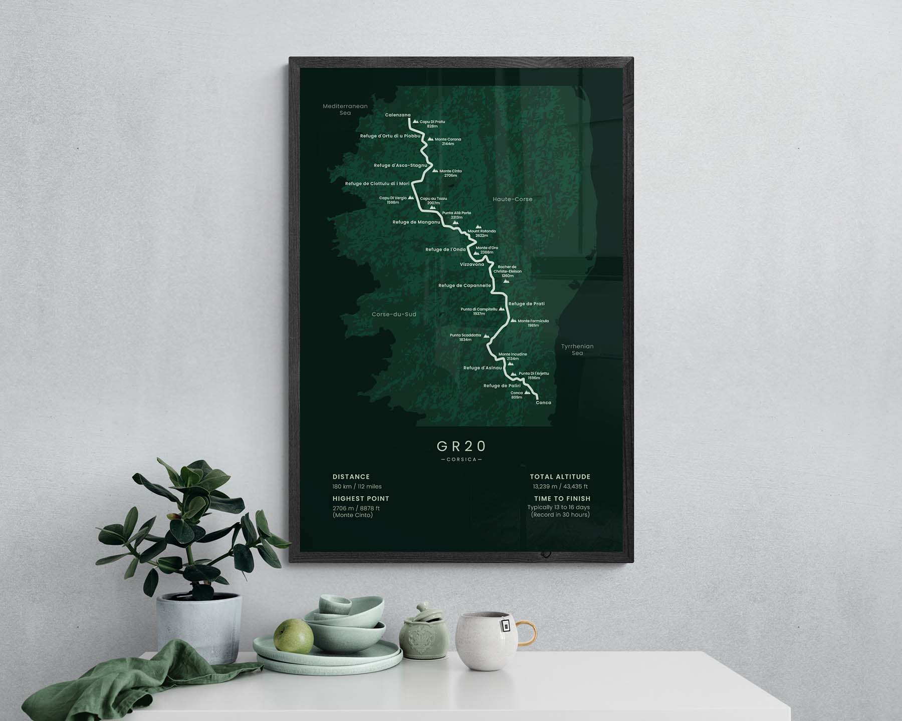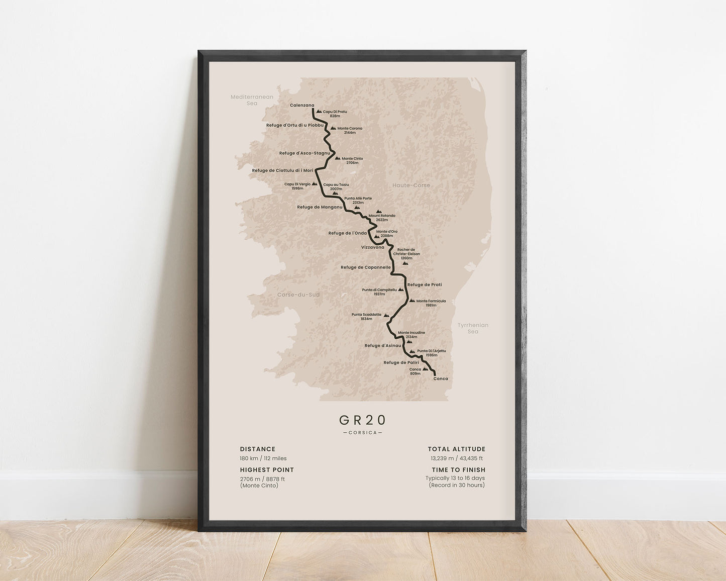
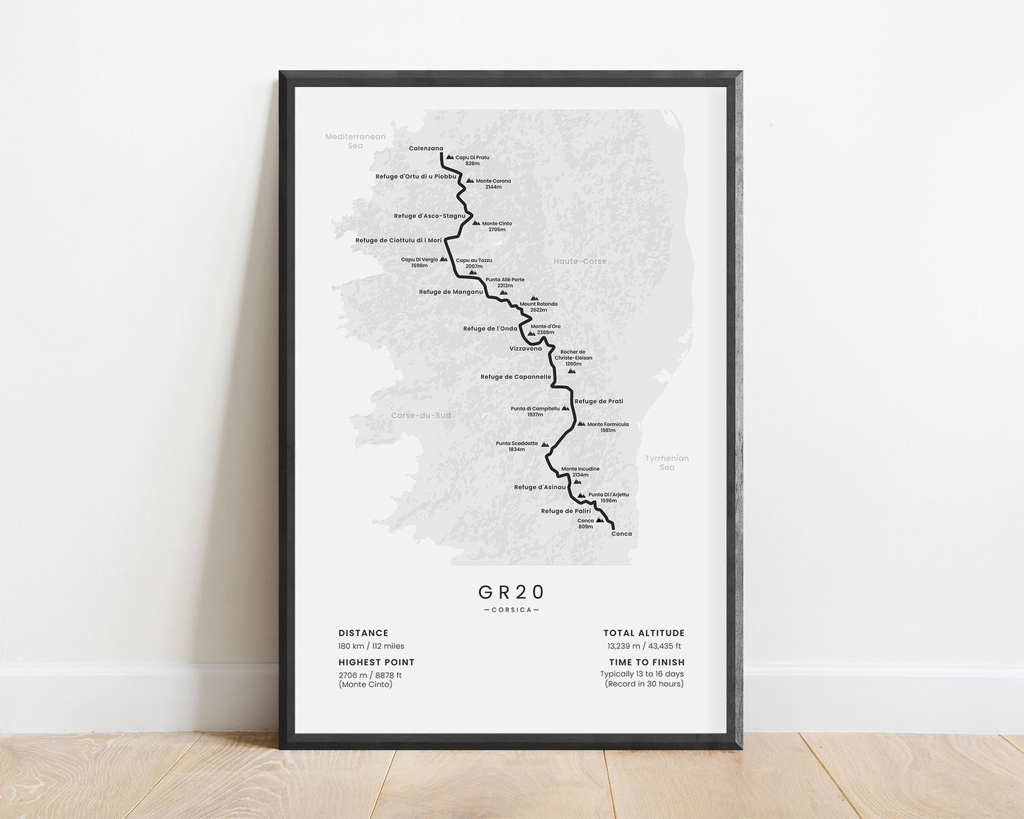
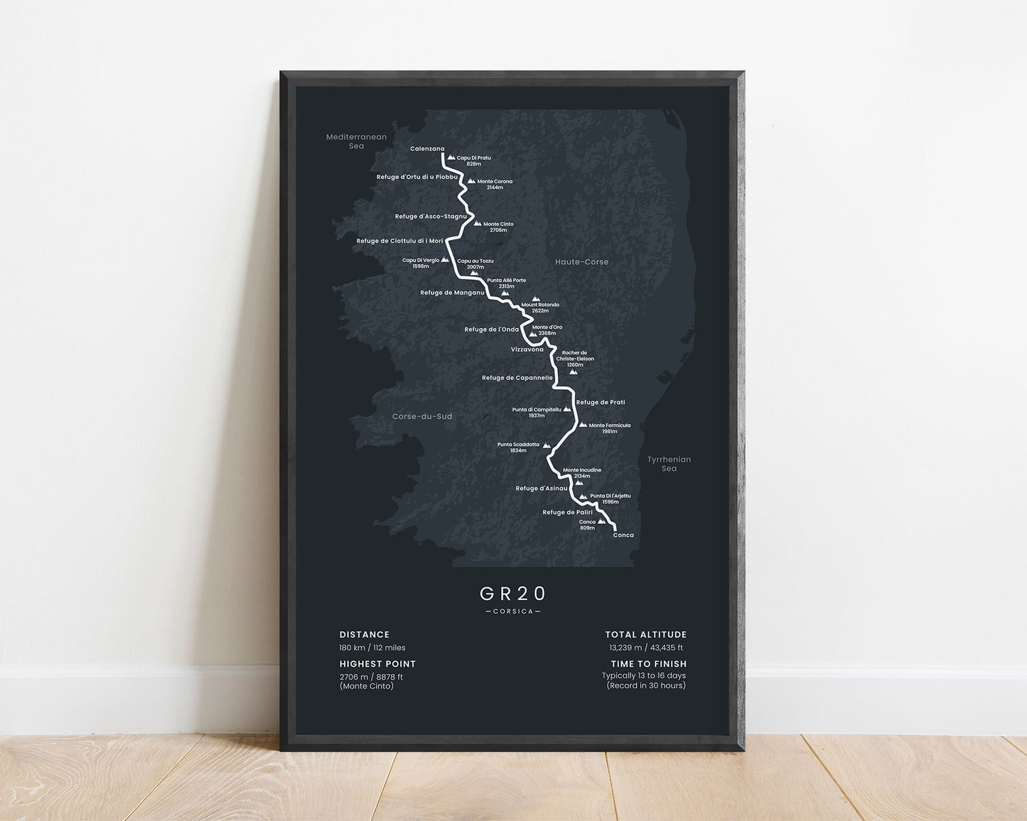
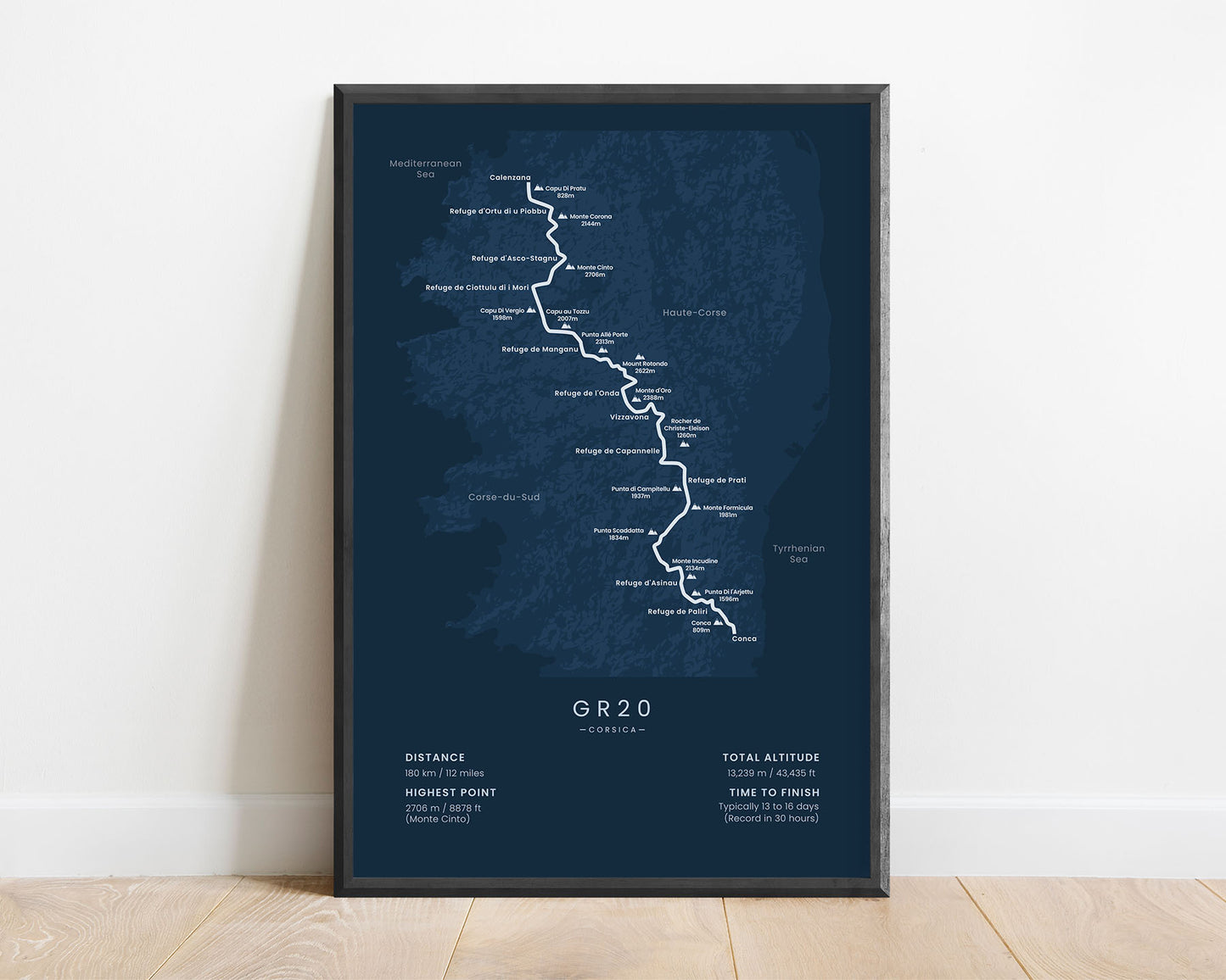
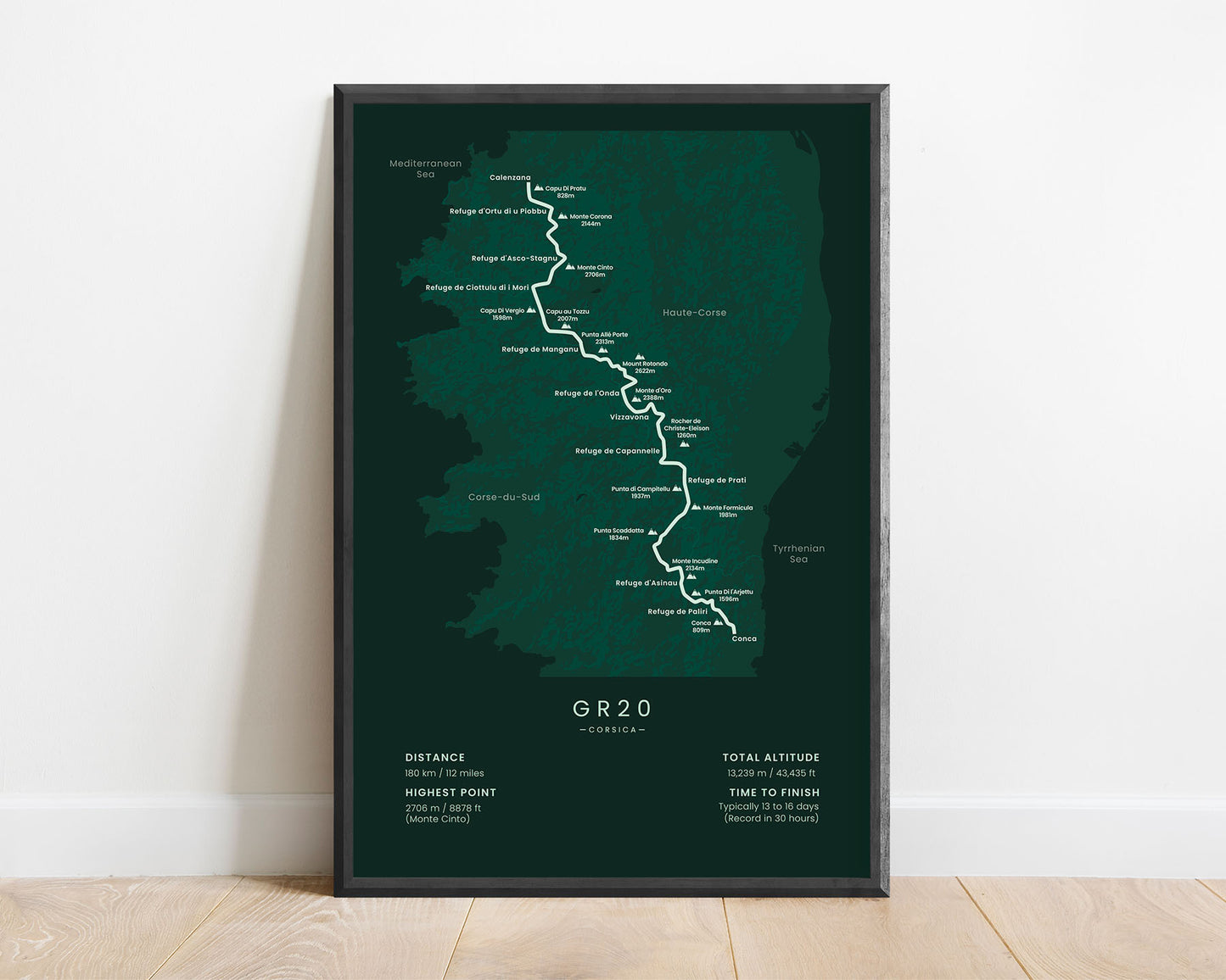
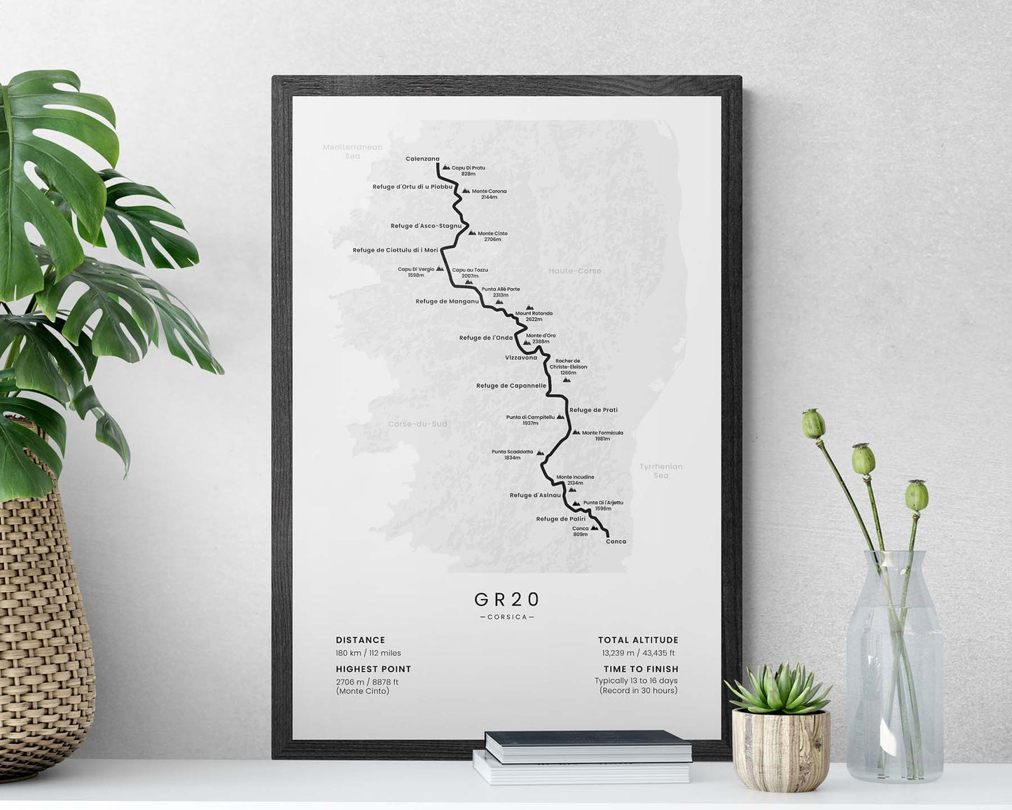
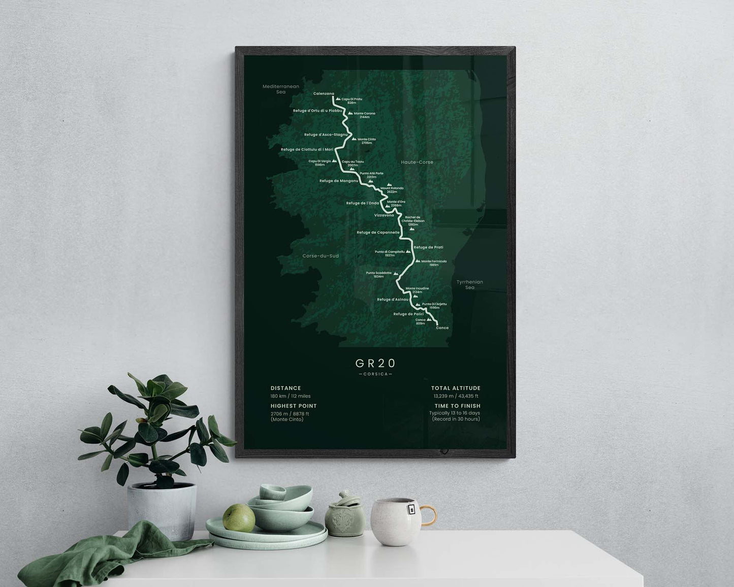

A print that displays the full map of the GR20 trek in Corsica. It shows the entire route of the trail, main cities, villages, and peaks, and also some essential information about the trail itself. It’s offered in five different minimal color options to fit into most modern interiors. This poster is also sold in many different sizes, so you can find one that best fits your own home.
About the GR20 Trek
The GR20 Trek (other known as "Fra li Monti"), is one of the most popular thru hikes in Europe. It crosses the whole island of Corsica through the most mountainous regions of the island, from Calenzana to Conca. The whole trail is about 180 km in length, and it's so popular because it offers truly spectacular views - beautiful alpine meadows, rugged peaks, blue lagoons and white streams, and rich wildlife. Its average elevation is between 1000-2000m, and it also crosses the highest peak on the island - the Monte Cinto. Although it traverses fairly difficult terrain, it can be completed with little training, because the trail itself is in good shape, there are many resupply options, and it's very well-waymarked.
Statistics About the GR20 Hiking Trail
- Start point: Calenzana, Corsica, France
- End point: Conca, Corsica, France
- Total distance: 180 km / 112 miles
- Total altitude gain/loss: 13 239 m / 43 435 ft
- Highest point: 2706 m / 8878 ft (Monte Cinto)
- Countries crossed: Corsica (France)
- Time to finish: Typically 13-16 days
- Record finish time: 30 hours
- Best time to hike: June - October

