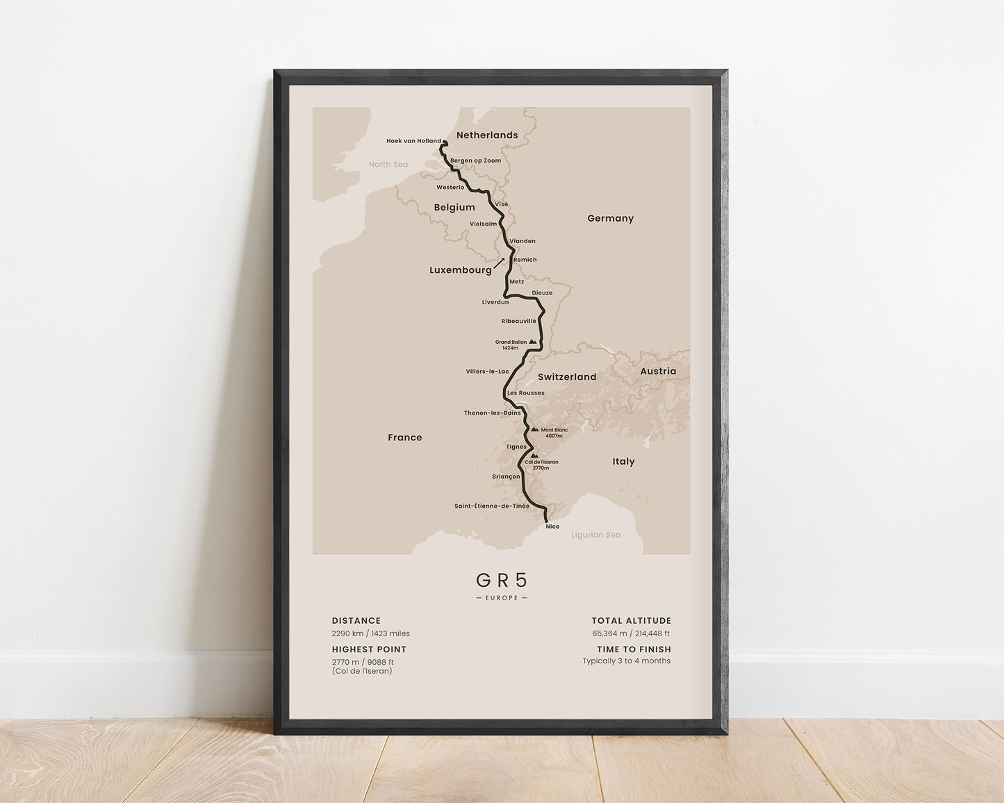
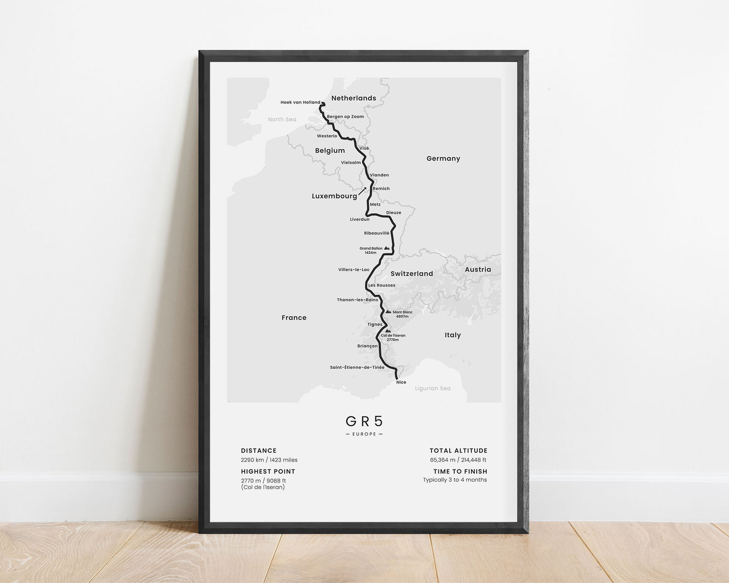
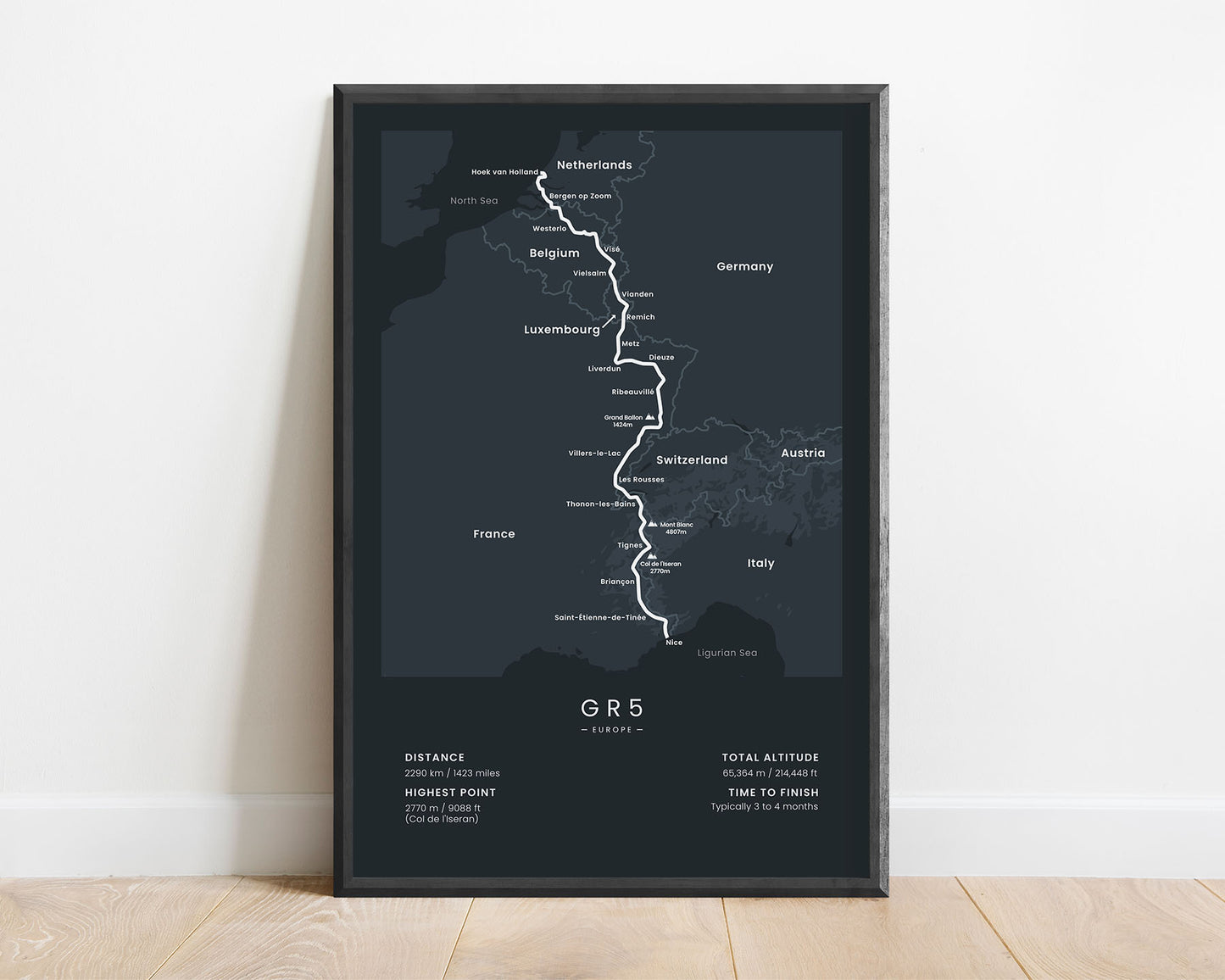
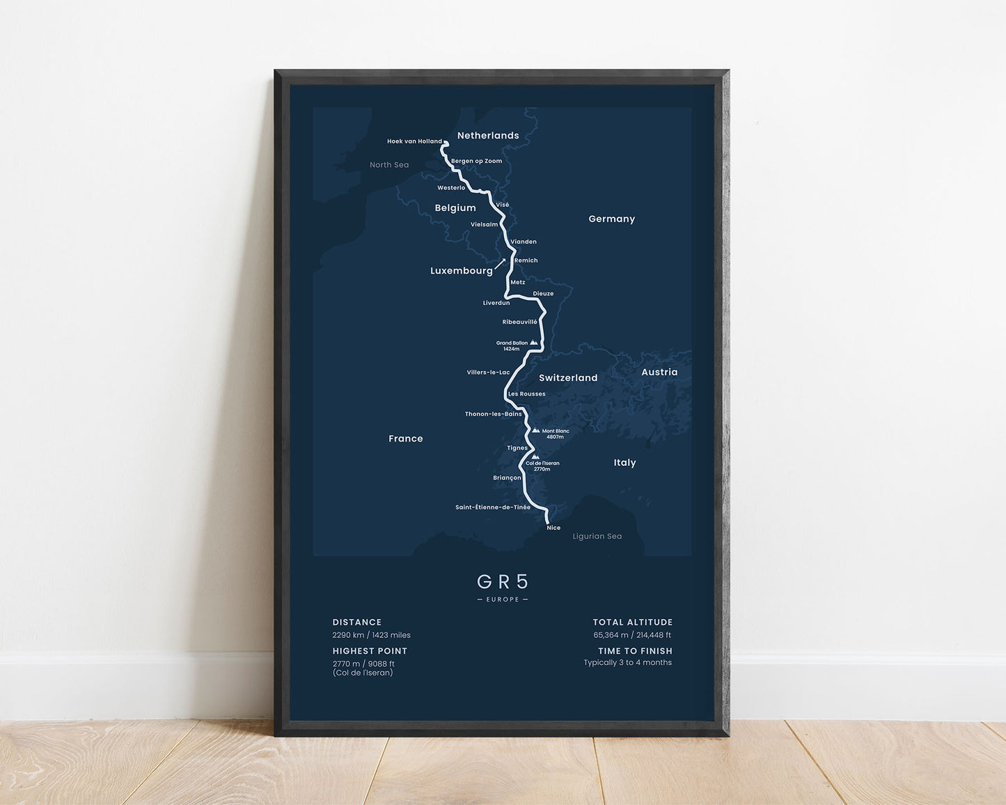
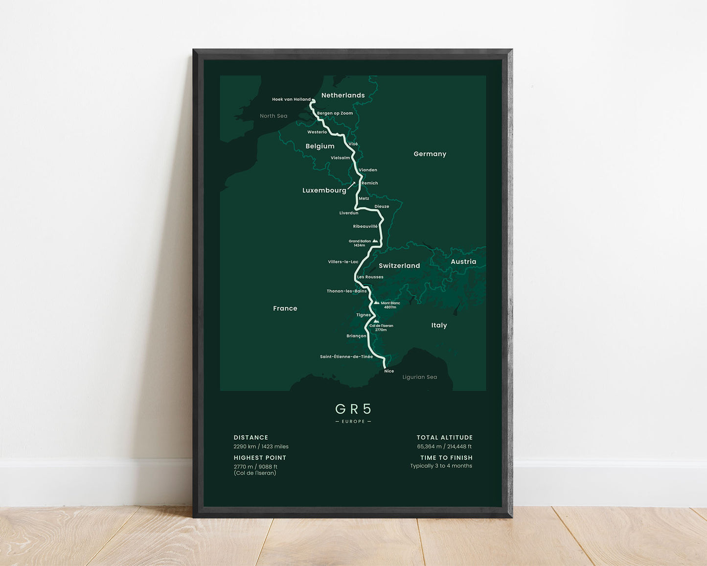
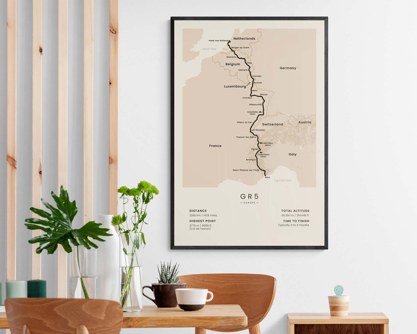
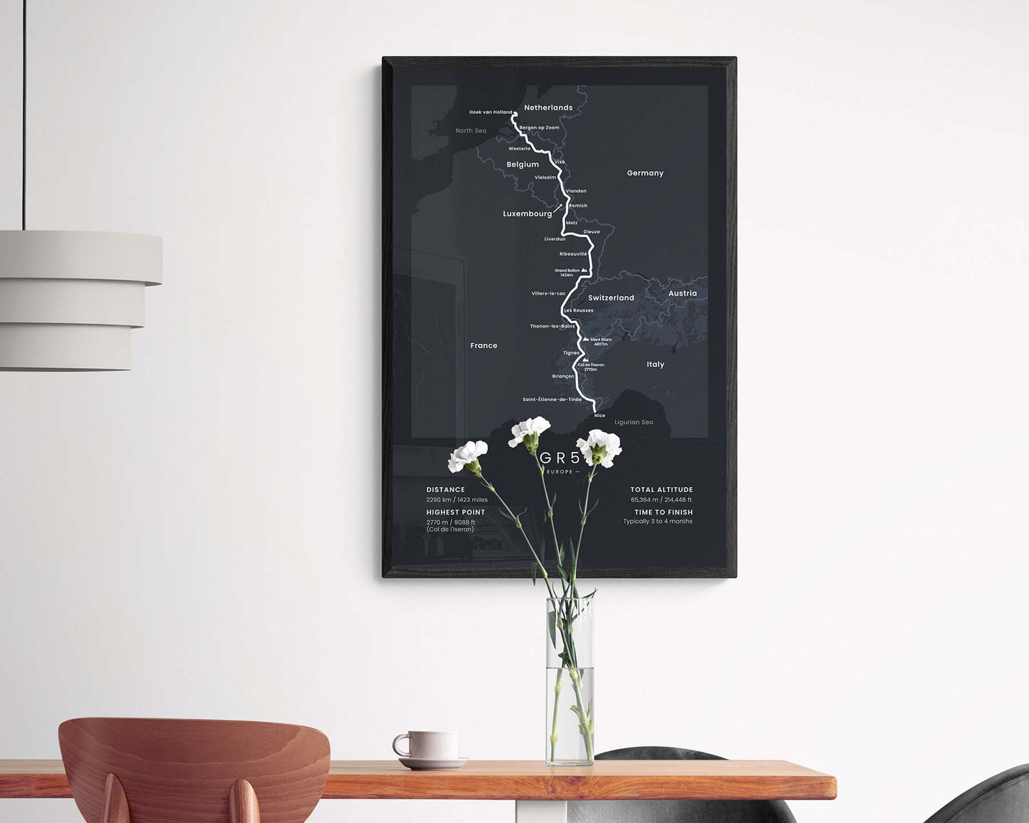

A minimalist print of the GR5 (Grand Traverse des Alpes) hiking trail. This poster shows the full route of the trail, rough topography, the main cities and countries it passes through, and the highest peaks along the way. At the bottom, it also displays important statistics about the trail, such as the total altitude, elevation gain, highest point, and more. If you’ve finished or want to finish this trail, then this poster will be a great addition to your home.
About the Grand Traverse des Alpes
The GR5 (other called Grand Traverse des Alpes or GTA) is a long-distance hike in Europe that goes from the North Sea, Netherlands to the Ligurian Sea, France. The most popular part of this trail is definitely the part from Lake Geneva, Switzerland to Nice, France, or roughly the last 600 km of the trail, which accounts for the most spectacular scenery on this trail, including high-elevation peaks, alpine meadows, lush pine tree forests, white water rivers, crystal clear lakes, and rich wildlife. That said, the first part that goes through the Netherlands, Belgium, and Luxembourg definitely is also something worth experiencing, and when hiked in its full entirety, provides more appreciation for the final stages of the trail.
Statistics About the GR5 Hiking Trail
- Start point: Hoek Van Holland, the Netherlands
- End Point: Nice, France
- Total distance: 2290 km / 1423 miles
- Total altitude gain/loss: 65 364 m / 214 484 ft
- Highest point: 2770 m / 9088 ft (Col de l'Iseran)
- Time to finish: Usually 3-4 months
- Countries crossed: The Netherlands, Belgium, Luxembourg, Switzerland, France
- Best time to hike: May - October


