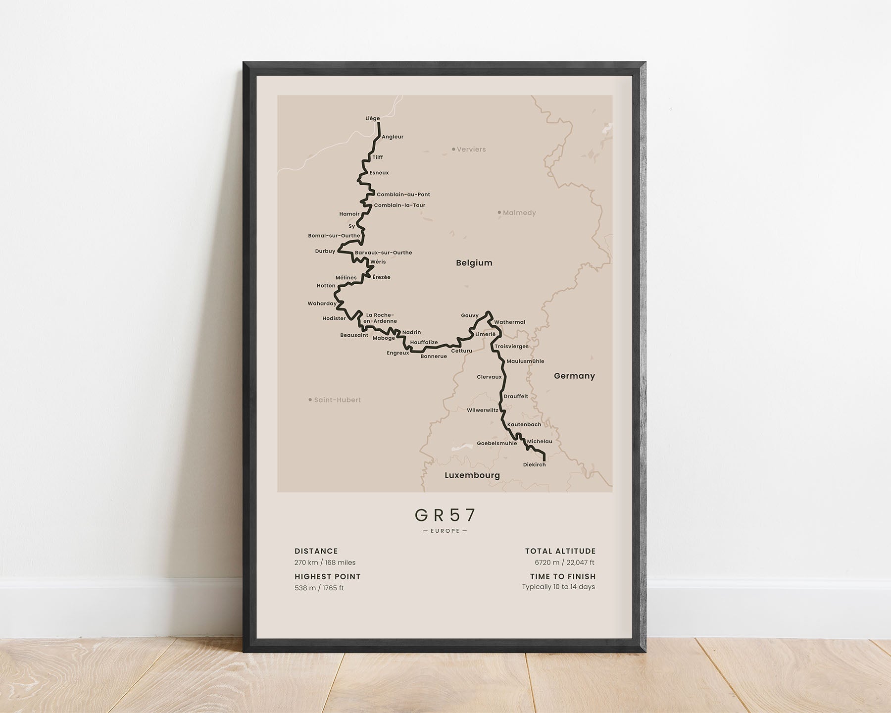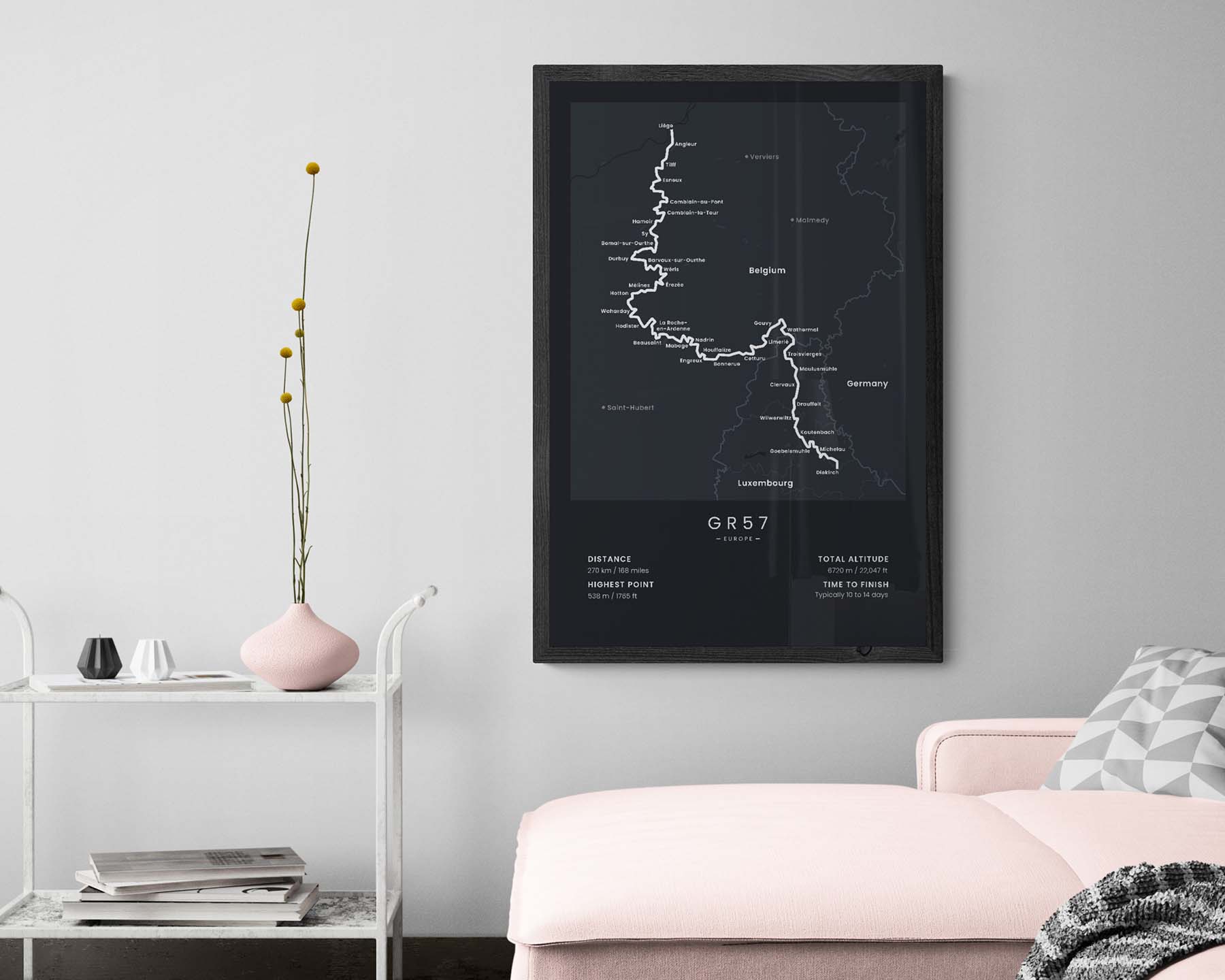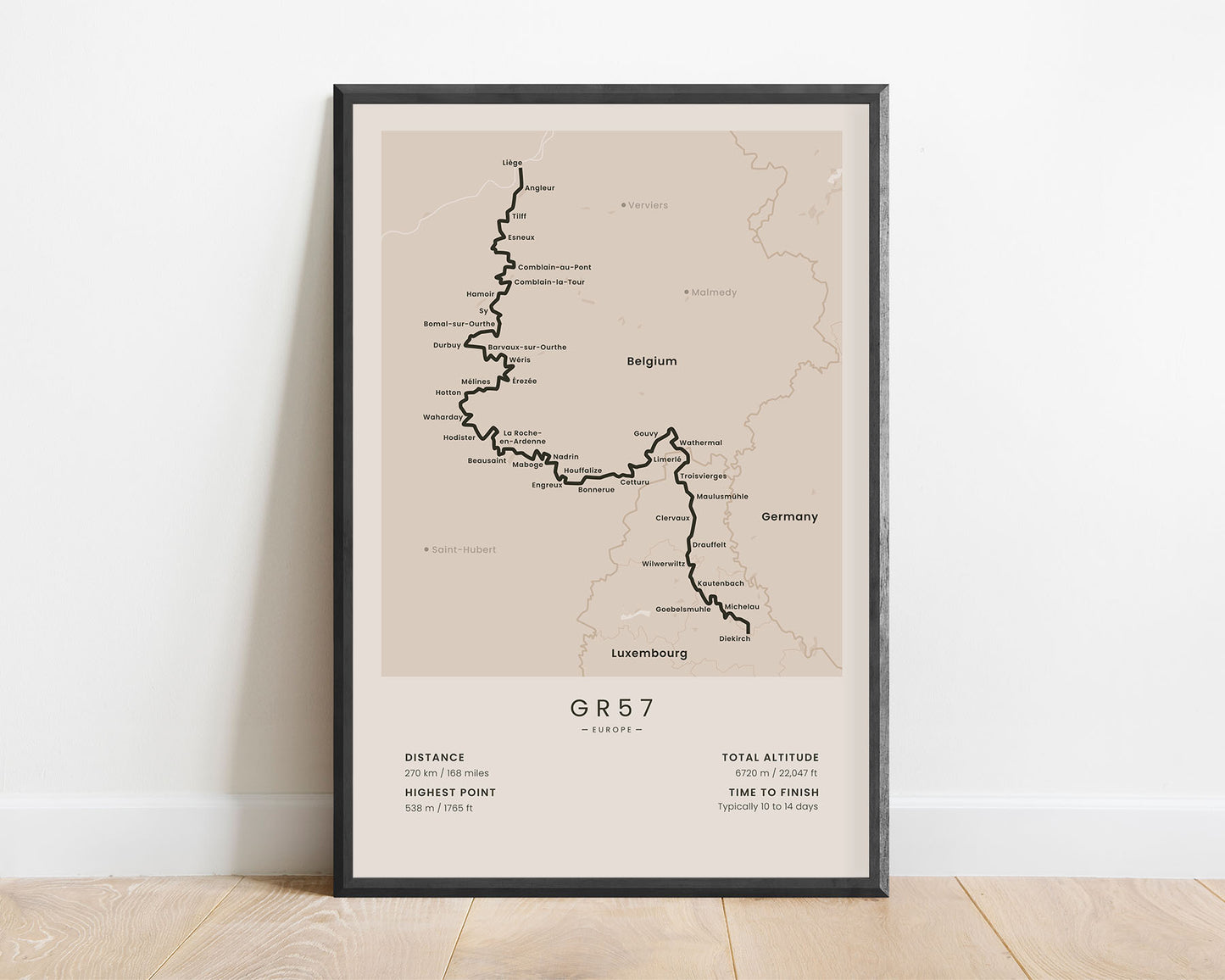
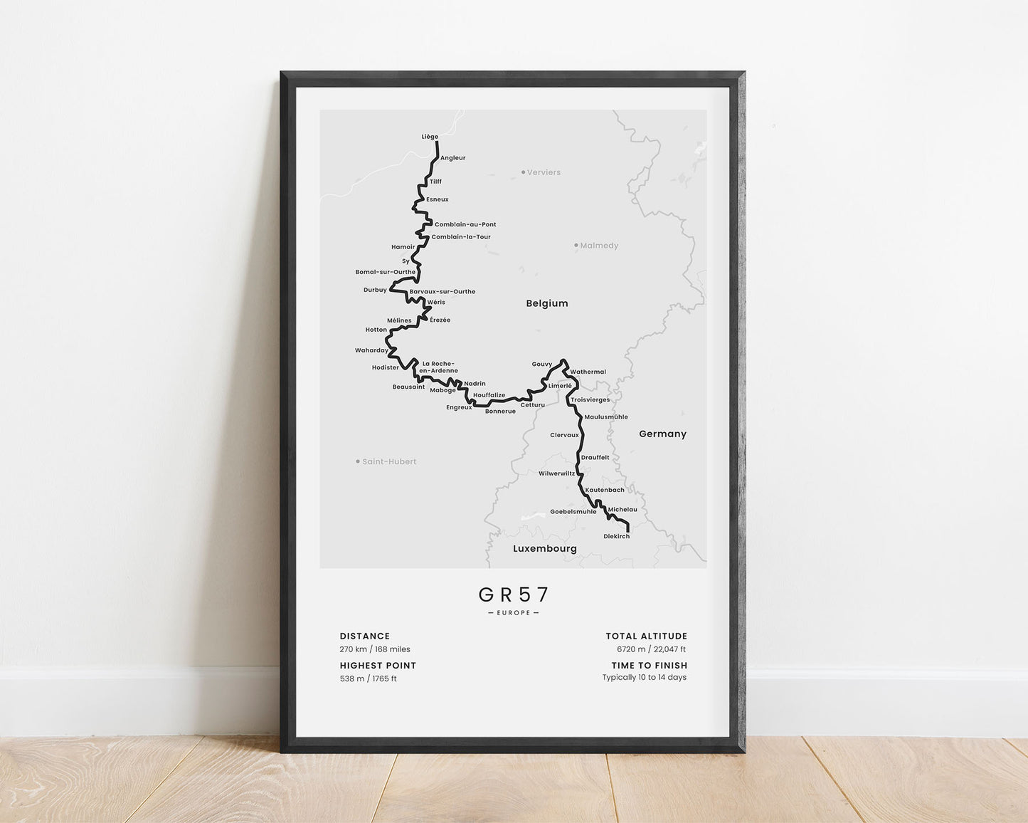
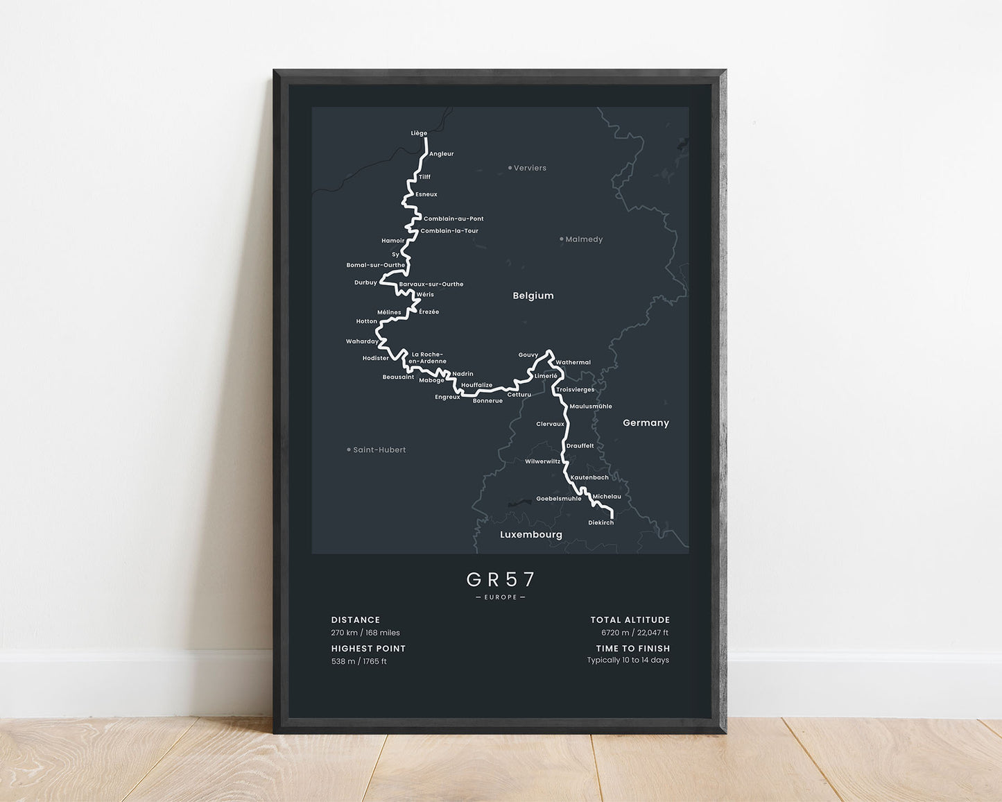
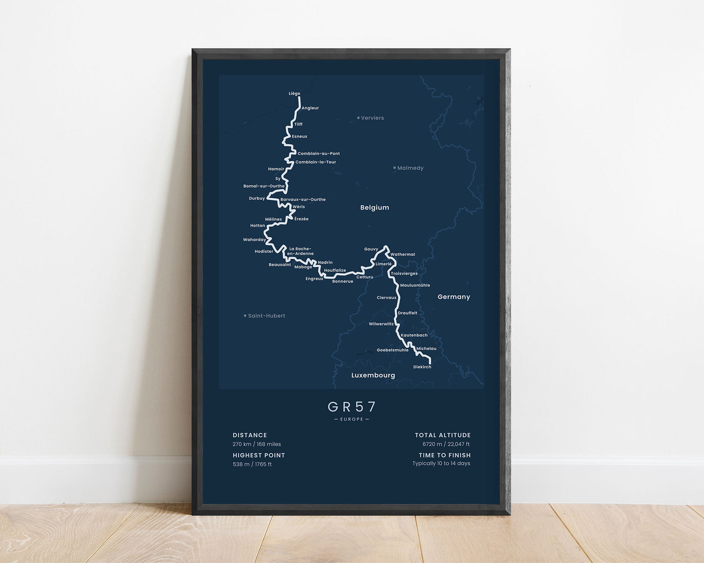
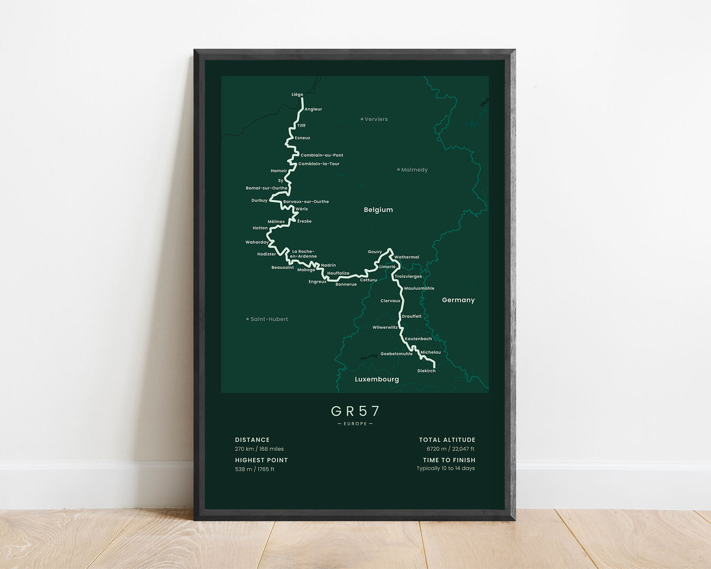

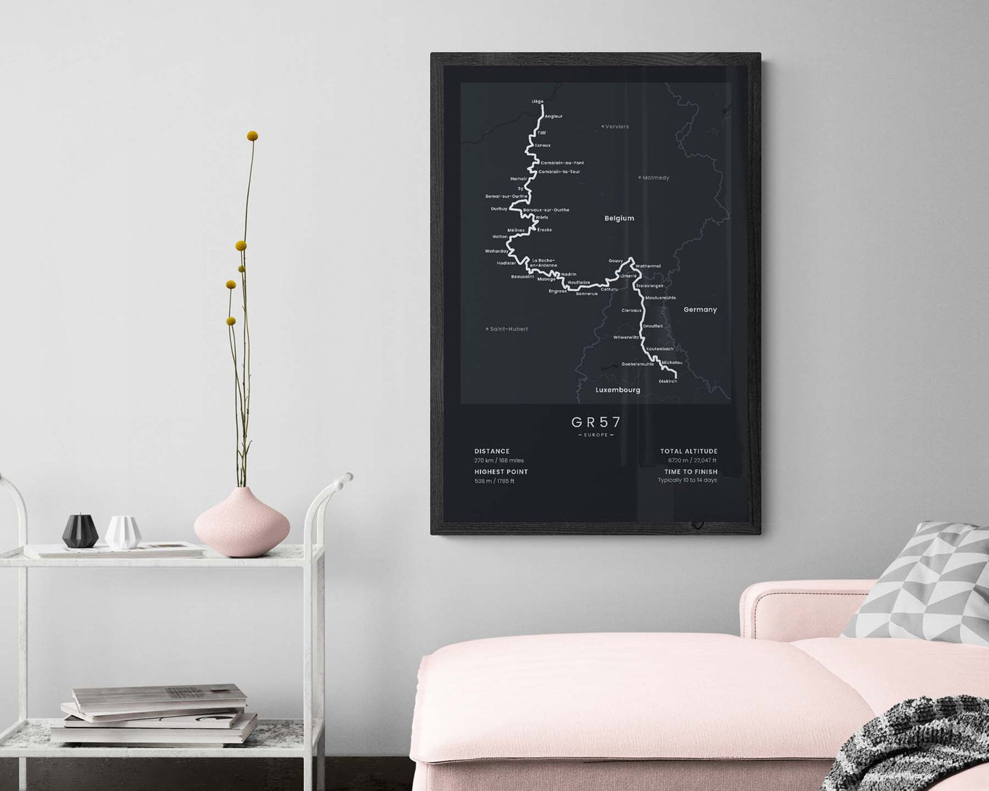

A print that shows the map of the GR57 hiking trail in Luxembourg and Belgium. It displays the full route of the trail, the main cities along the way, and important statistics about the trail, like the total distance, altitude, highest point, and more. It’s offered in five different colors and sizes to fit most modern and minimalistic interiors. If you’ve hiked the GR57 trail or know someone who wants to finish it, this poster will be a unique gift.
About the GR57 Trail
The GR57 hiking trail (other known as "Vallée de l'Ourthe et Sentier du Nord") is a long-distance hiking trail that crosses Belgium and Luxembourg. This trail follows the river of Ourthe along the valley, which means that it crosses many hills, forests, streams, and meadows. It's considered a fairly simple thru-hike and can also be completed in sections because it's located close to the railway network. The GR57 trail is so popular because it allows you to experience the best of the Ardennes Forest, and it's very well-waymarked.
Statistics About the GR57 Hiking Trail
- Start point: Diekirch, Luxembourg
- End point: Liege, Belgium
- Total distance: 270 km / 168 miles
- Total altitude gain/loss: 6720 m / 22 047 ft
- Highest point: 538 m / 1765 ft
- Countries crossed: Belgium, Luxembourg
- Time to finish: Typically 10-14 days
- Best time to hike: May - October

