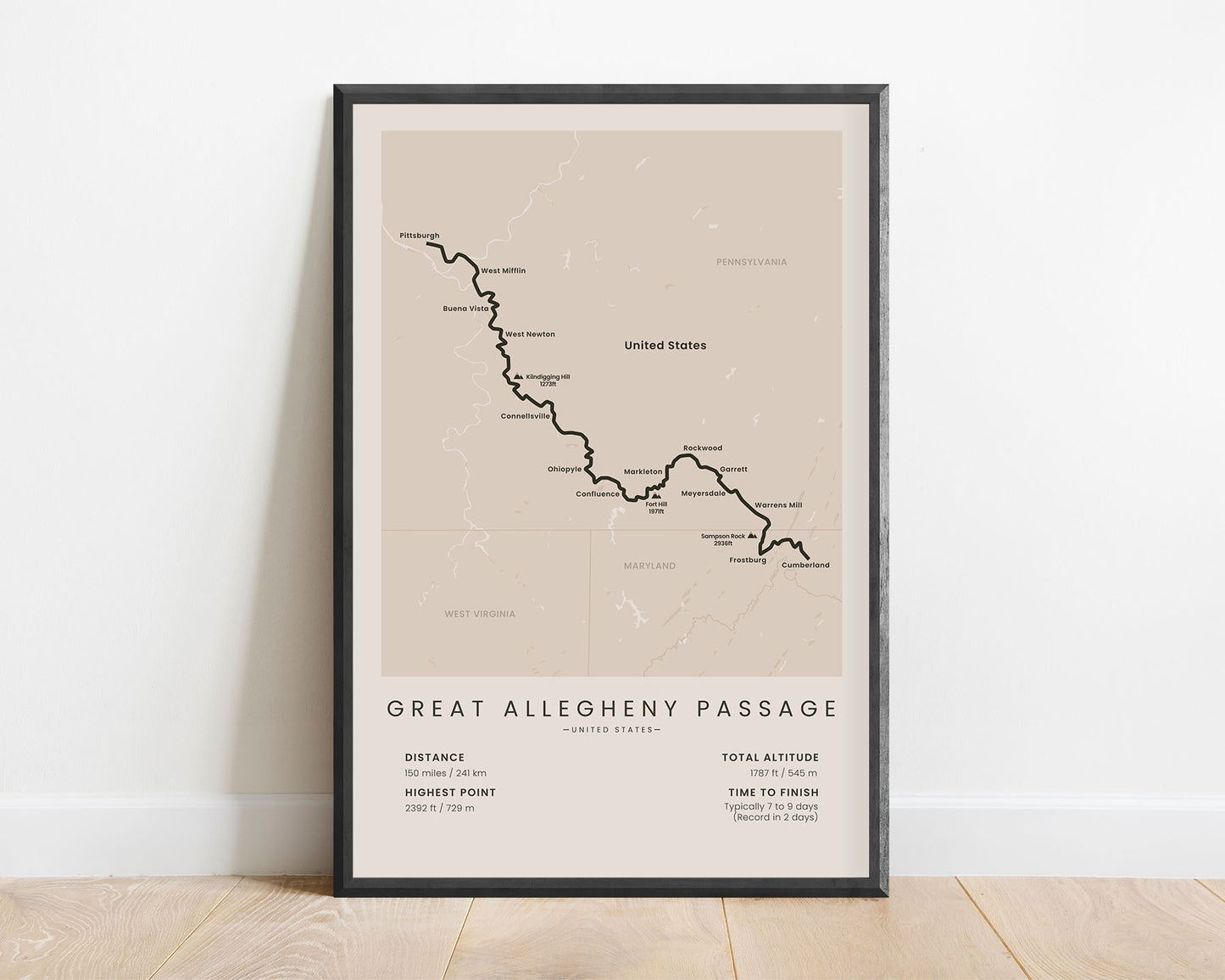
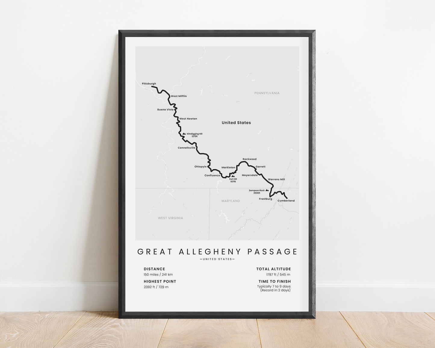
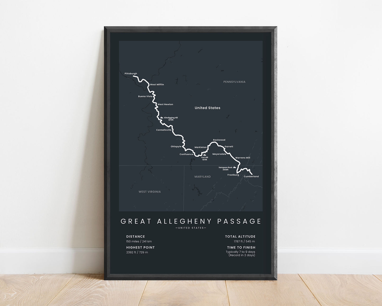
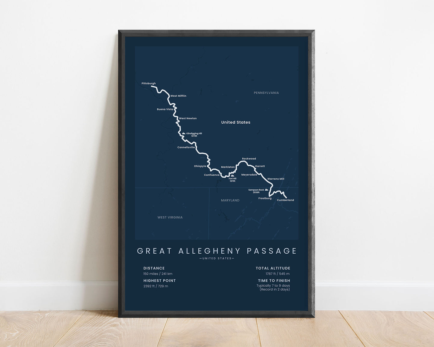
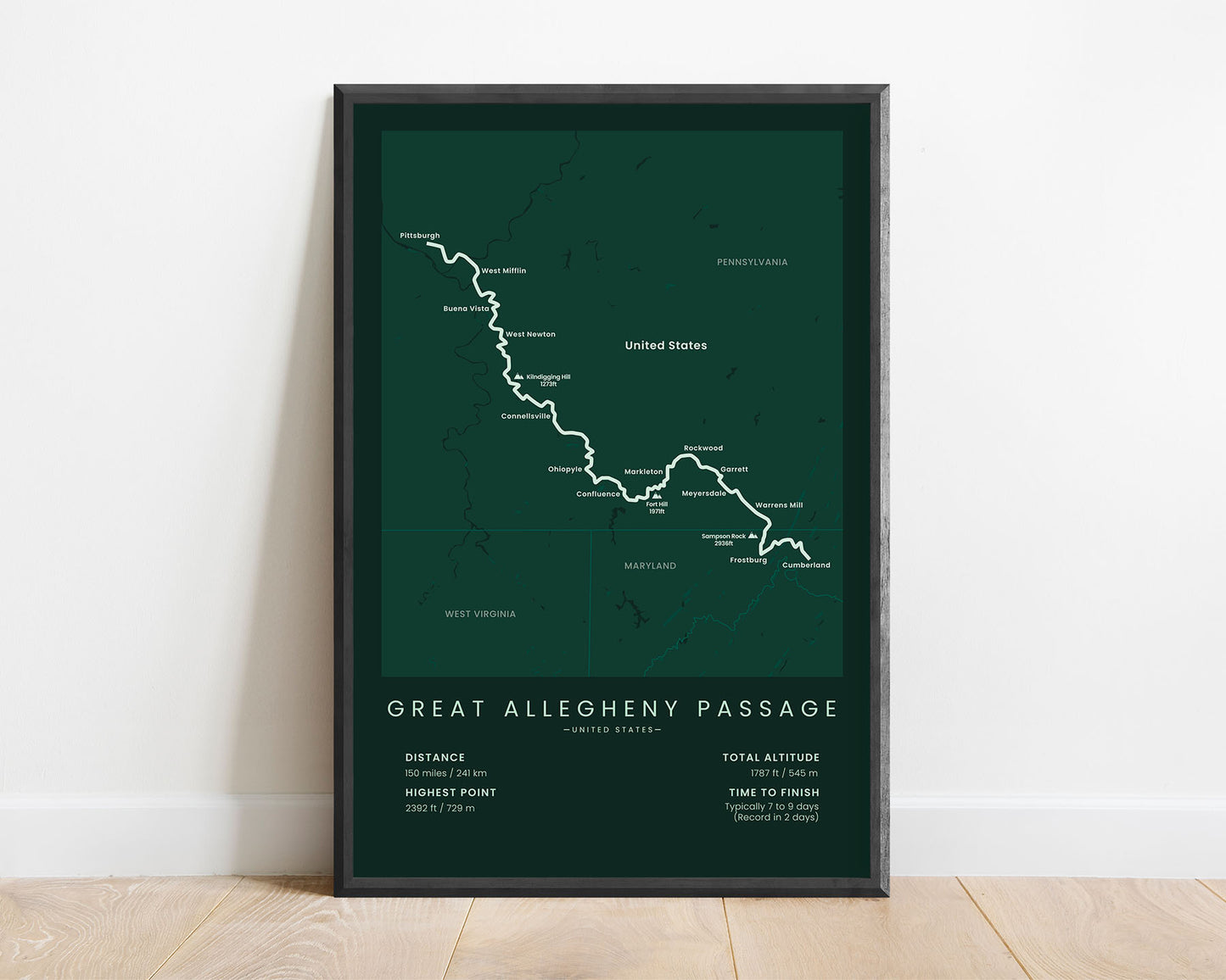
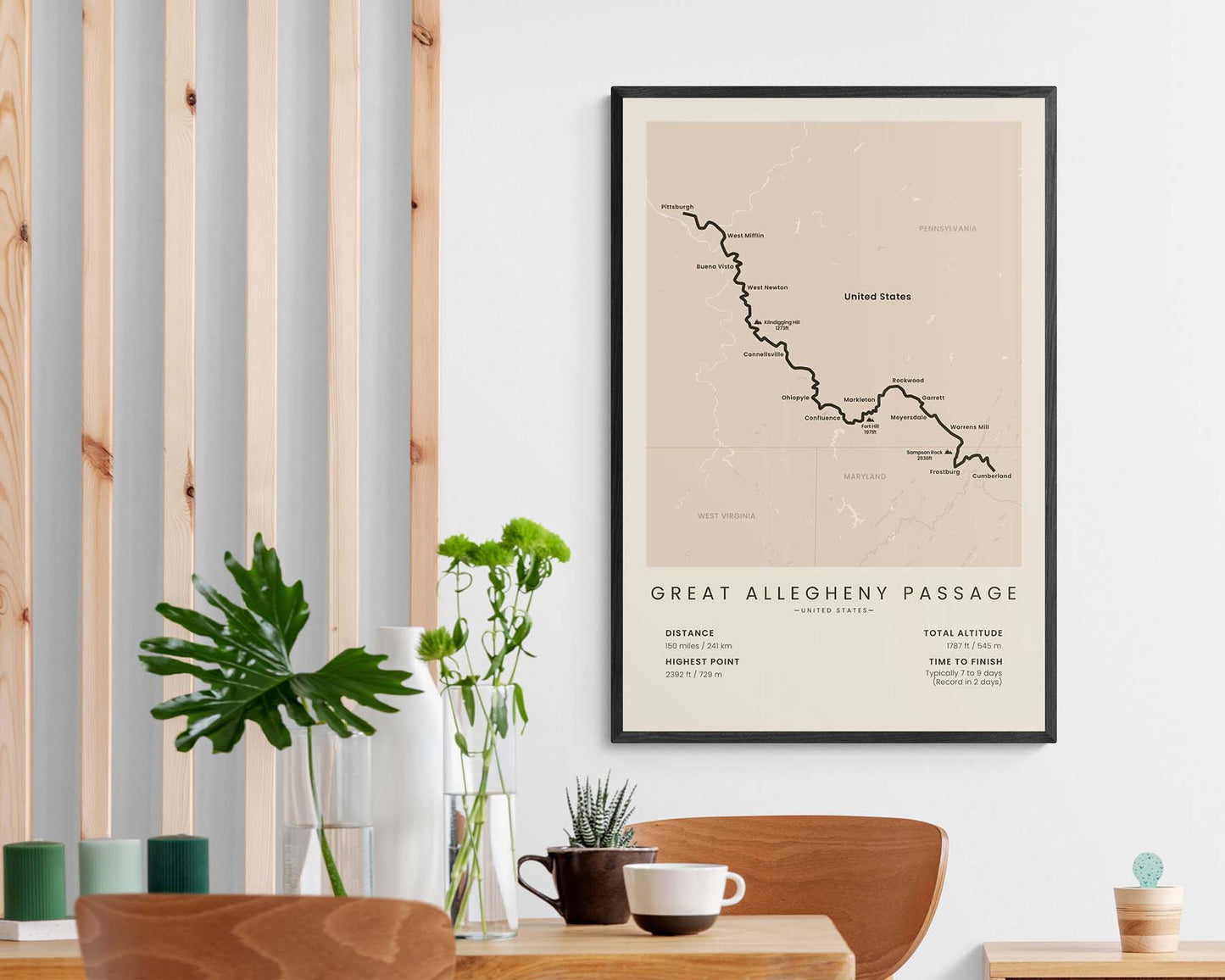
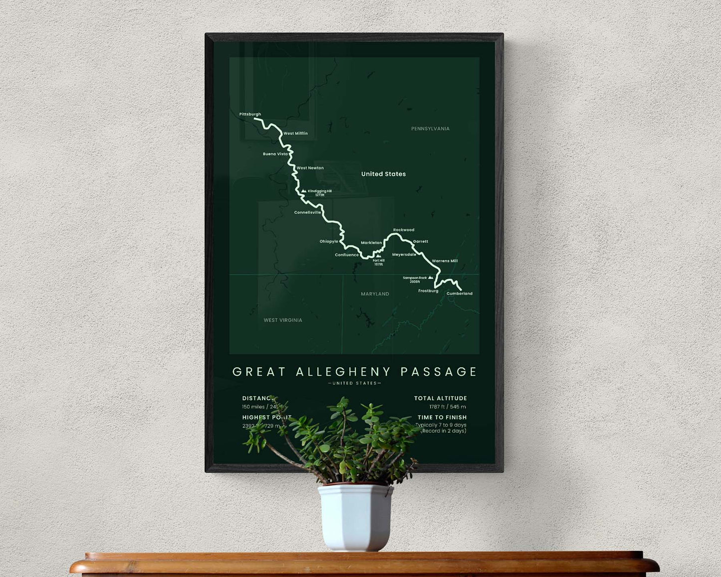

A minimalist map of the Great Allegheny Passage thru hike. This poster shows the entire route of the trail, the main cities along the trail, the highest peaks visible from the trail, and other important statistics about the trail. If you’ve hiked the Great Allegheny Passage or you’re hiking it in sections, then this print will be a great way to showcase your goal.
About the Great Allegheny Passage
The Great Allegheny Passage (GAP) is a hiking and cycling trail in Maryland and Pennsylvania. In almost all of its entirety, it's located on top of an old railroad and isn't accessible by mechanical vehicles. It also has very minimal total elevation gain since it was originally built for trains, so it's also suitable for people who aren't experienced hikers. During this hike, you'll find plenty of camping opportunities and pass through many small villages with restaurants and accommodations. It's worth hiking because it passes over many creeks and rivers, you'll be walking over many bridges and through many tunnels, and you'll experience the rugged and wild nature of Maryland and Pennsylvania.
Statistics About the Great Allegheny Passage
- Start point: Cumberland, Unites States
- End Point: Pittsburgh, United States
- Total distance: 150 miles / 241 km
- Total altitude gain/loss: 1787 ft / 545 m
- Highest point: 2392 ft / 729 m
- Time to finish: Usually 7-9 days
- States crossed: Maryland, Pennsylvania
- Best time to hike: April - November


