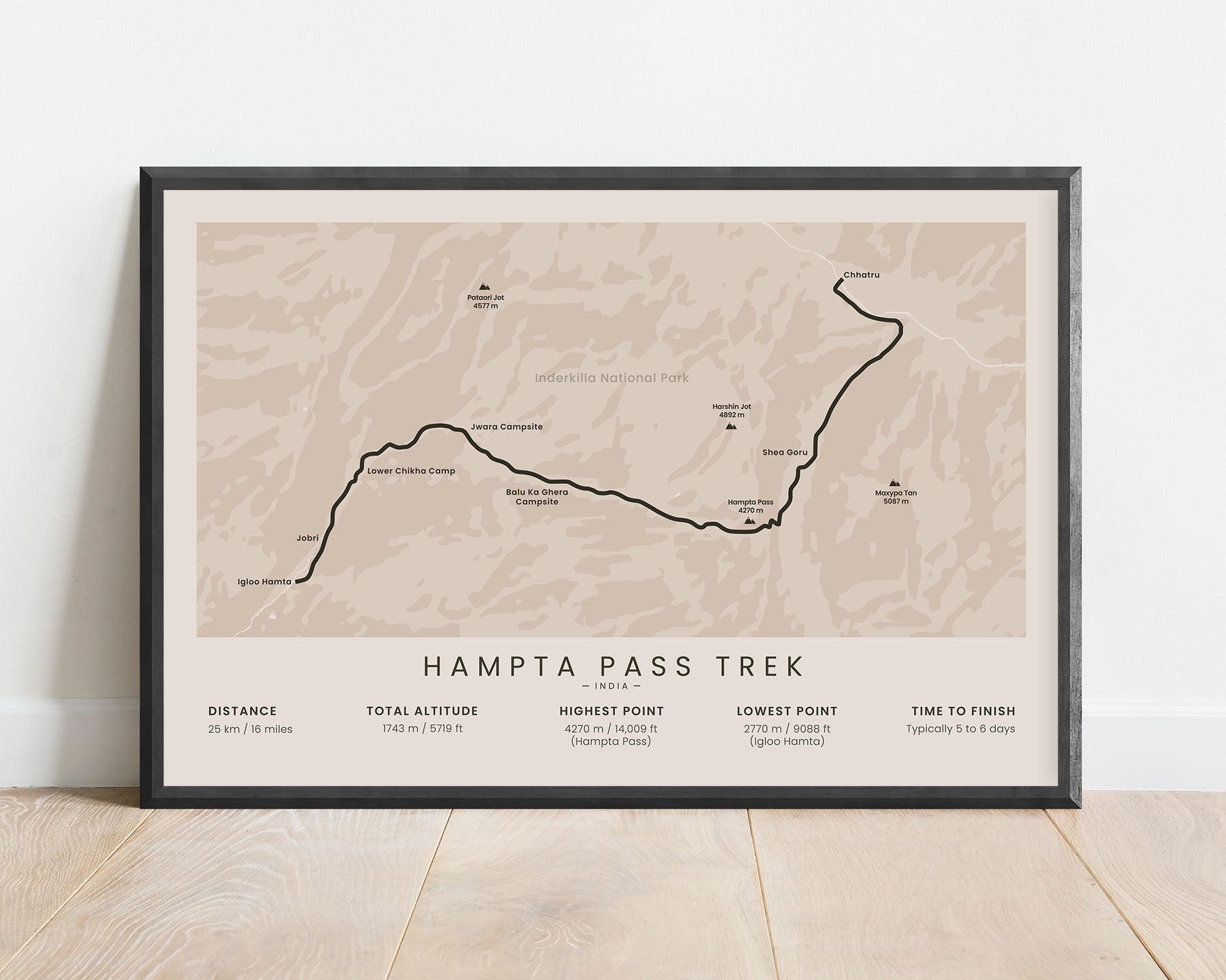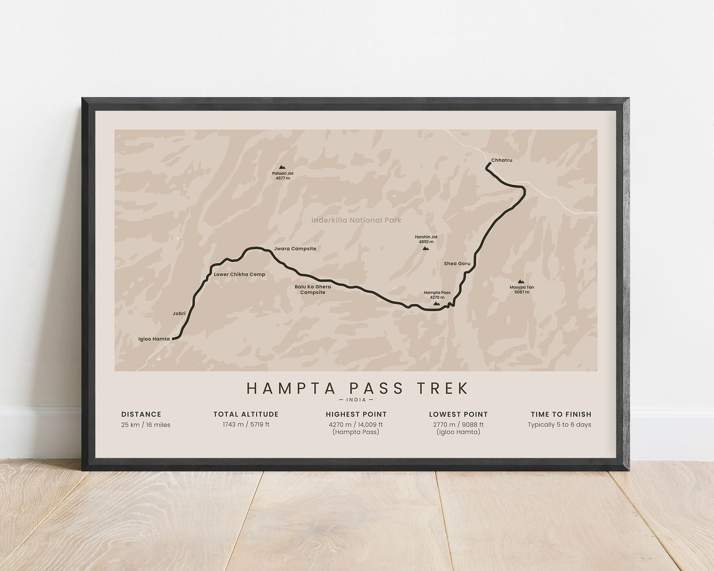
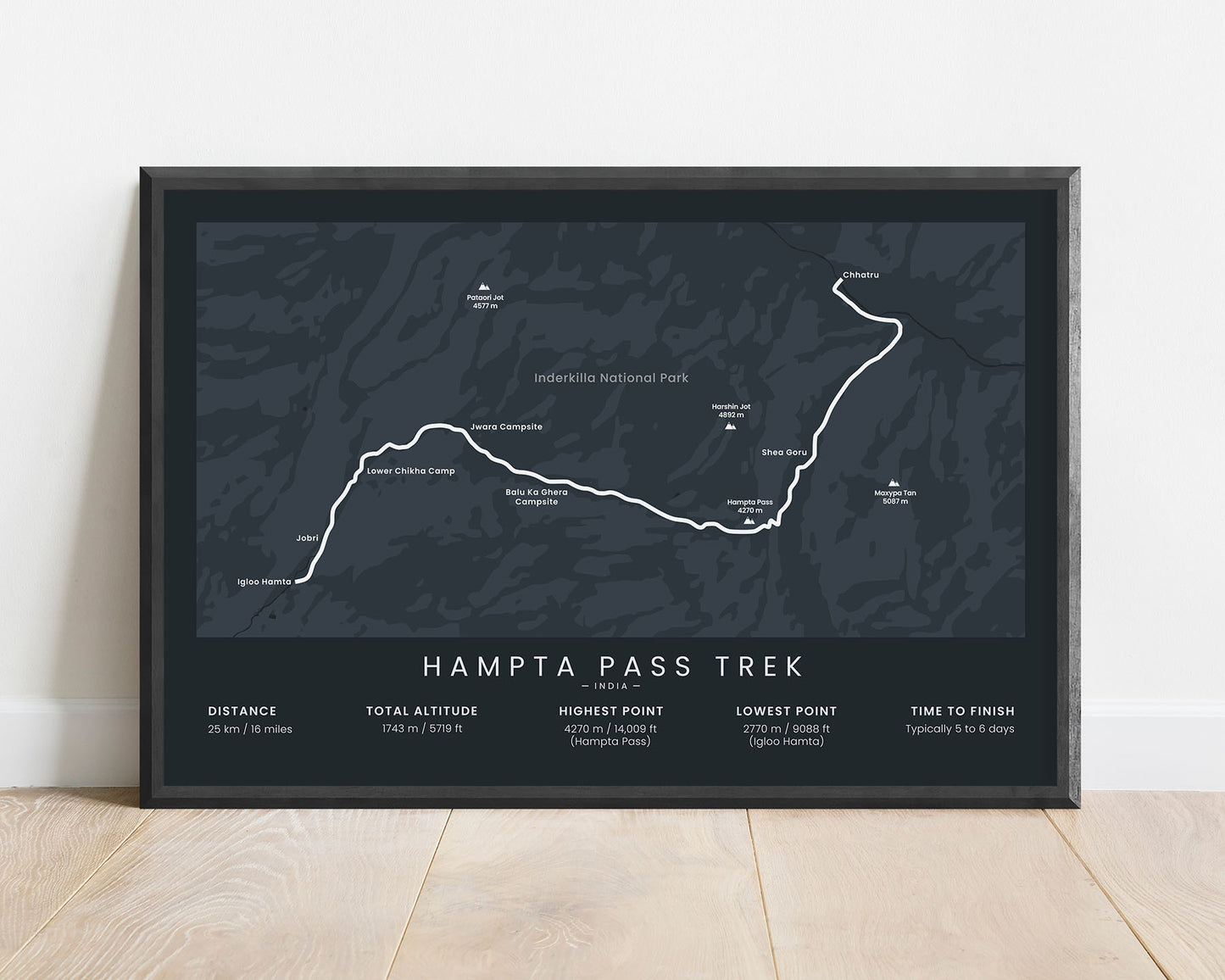
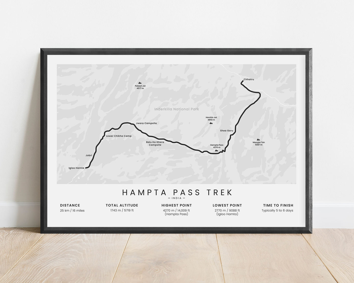
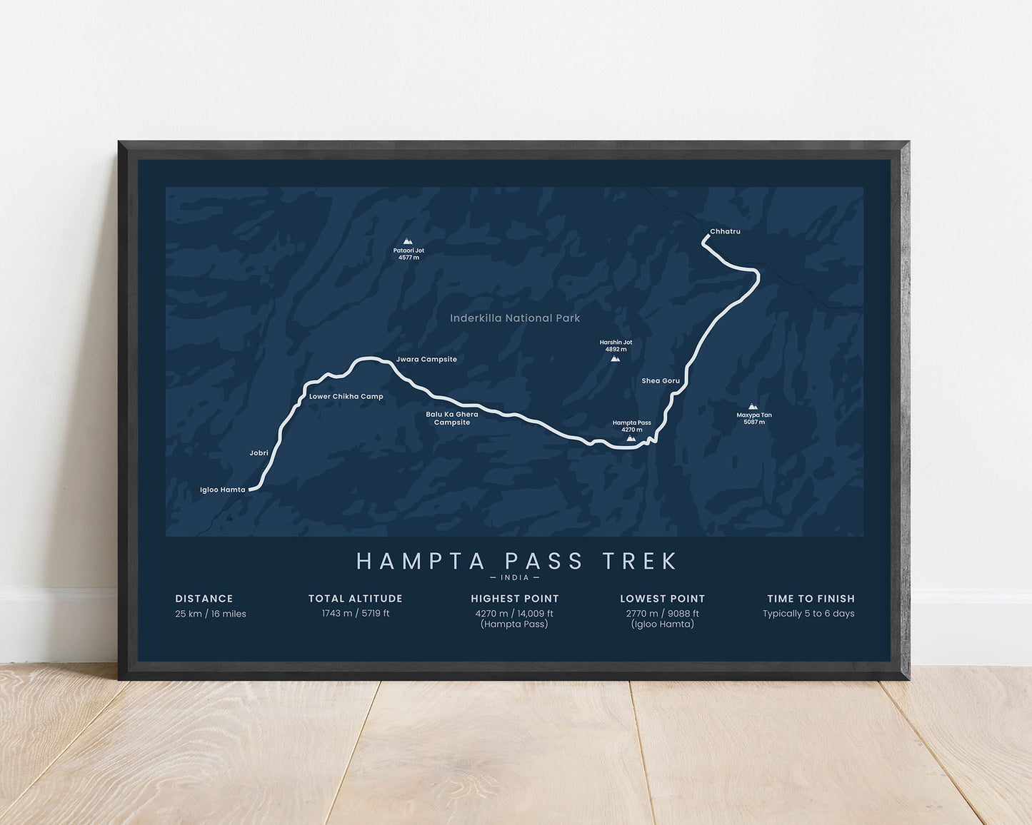
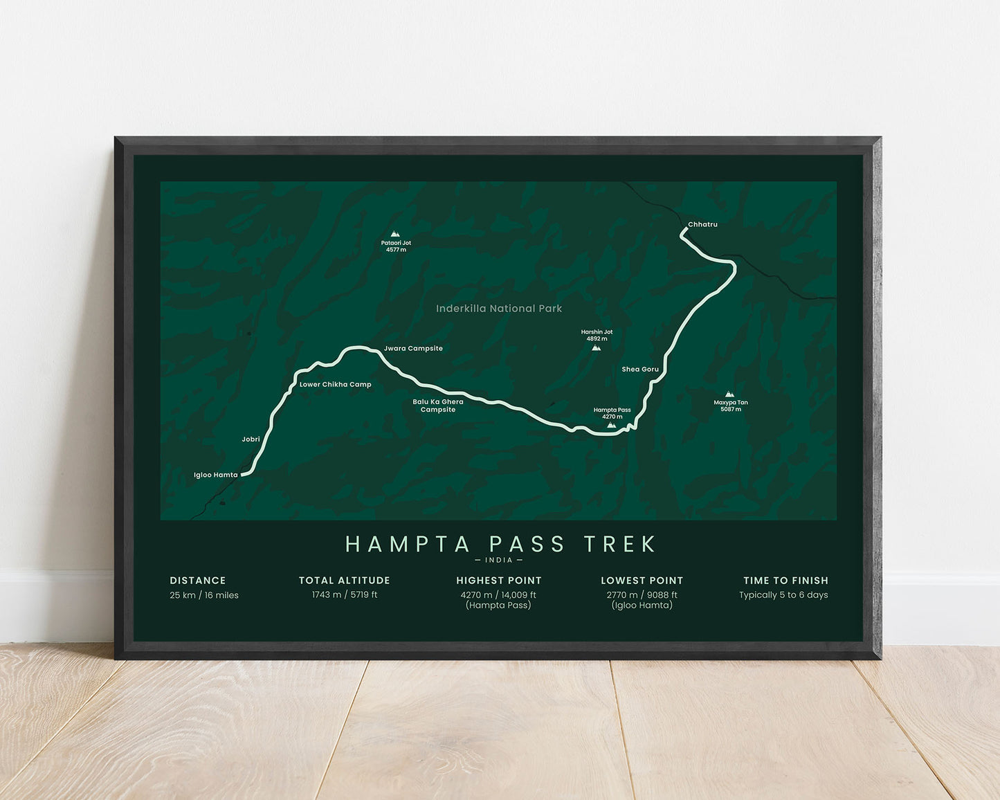



A print that displays the Hampta Pass Trek hiking trail in India, Himalayas. It shows the entire route of the trek, the key points of interest, mountain passes, and mountains, and also important statistics about it at the bottom. It will look good in minimalistic interiors.
About the Hampta Pass Trek
The Hampta Pass Trek is a very popular trek in the Indian part of the Himalayan Mountains. It takes you through the Inderkilla National Park and green Kullu Valley and then through the desolate, mountainous Lahaul and Spiti district. The trek itself is only 25 km long, but it's considered to be just as beautiful as the Valley of the Flowers Trek. It starts at Manali, and one of the highlights along the way is the blue, crystal-clear Chandra Taal Lake.
Statistics About the Hampta Pass Trek
- Start point: Igloo Hamta, India (2-hour drive from Manali)
- End point: Chatru, India
- Total distance: 25 km / 16 miles
- Total altitude gain/loss: 1743 m / 5719 ft
- Highest point: 4270 m / 14 009 ft (Hampta Pass)
- Points of interest: Himalayas, Kullu Valley, Lahaul and Spiti District, Manali, Chandra Taal Lake, Inderkilla National Park
- Countries crossed: India
- Time to finish: Usually 5 to 6 days
- Best time to hike: June to September

