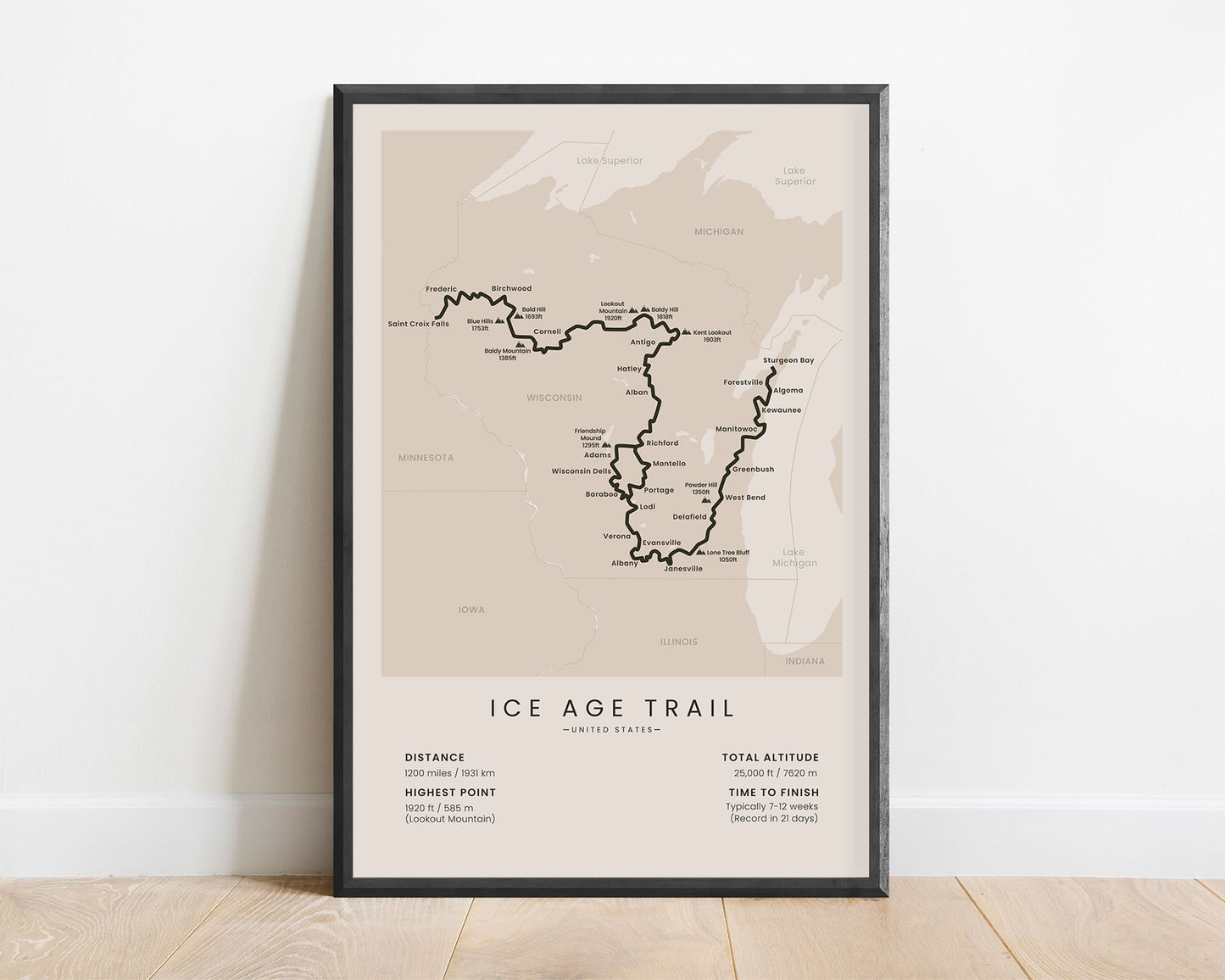
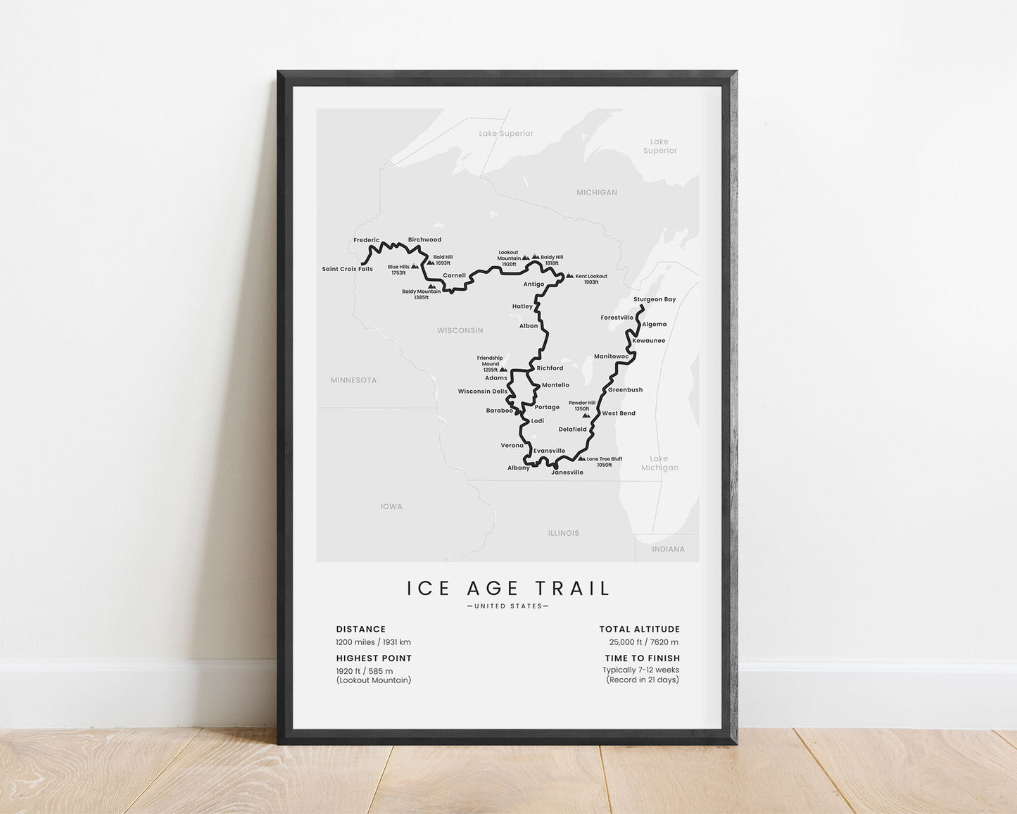
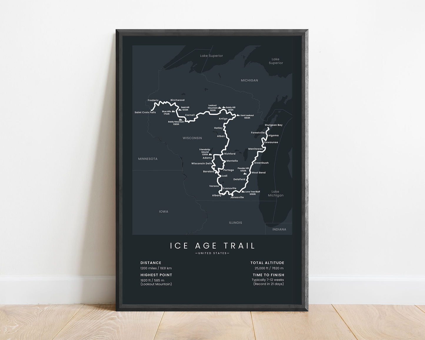
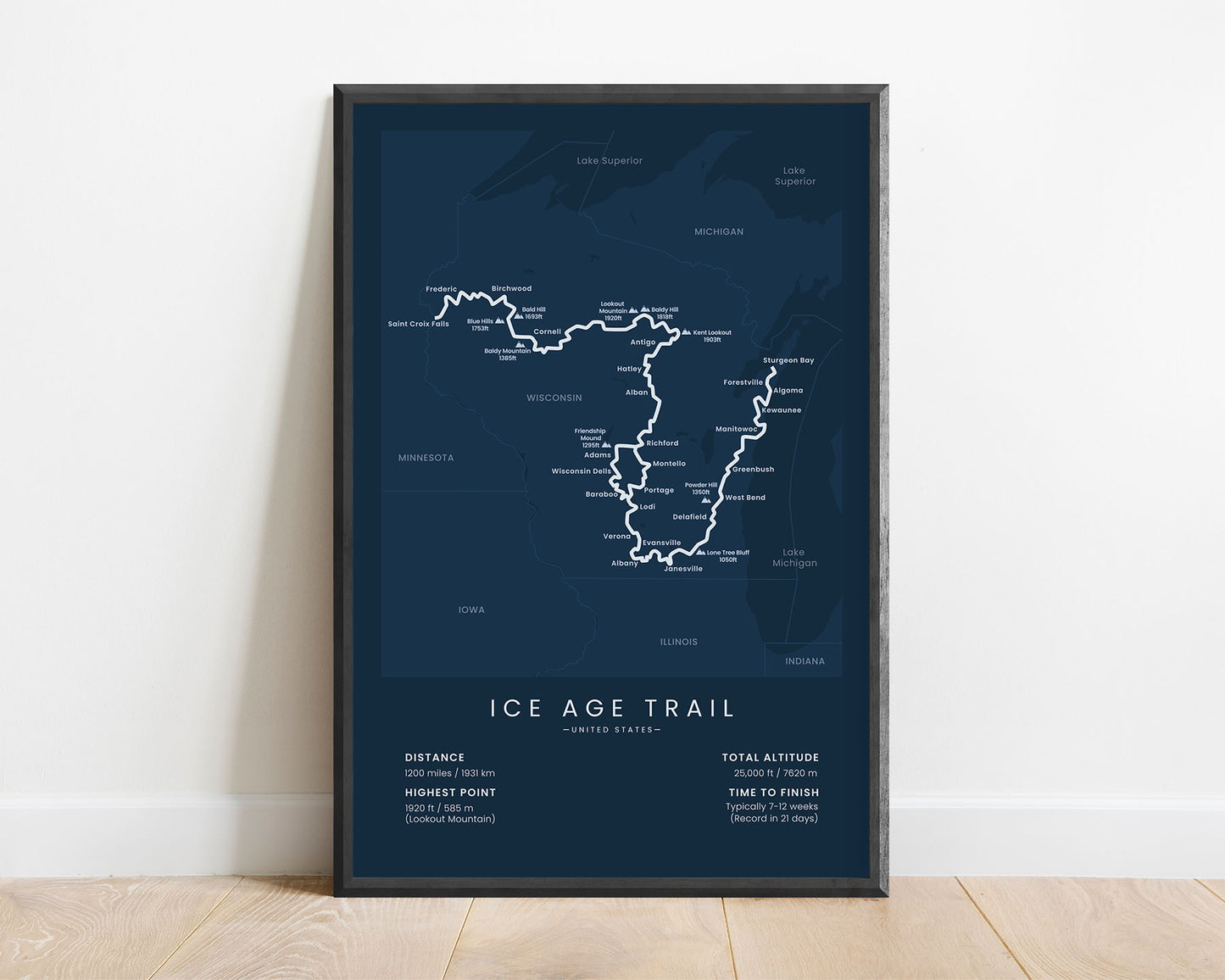
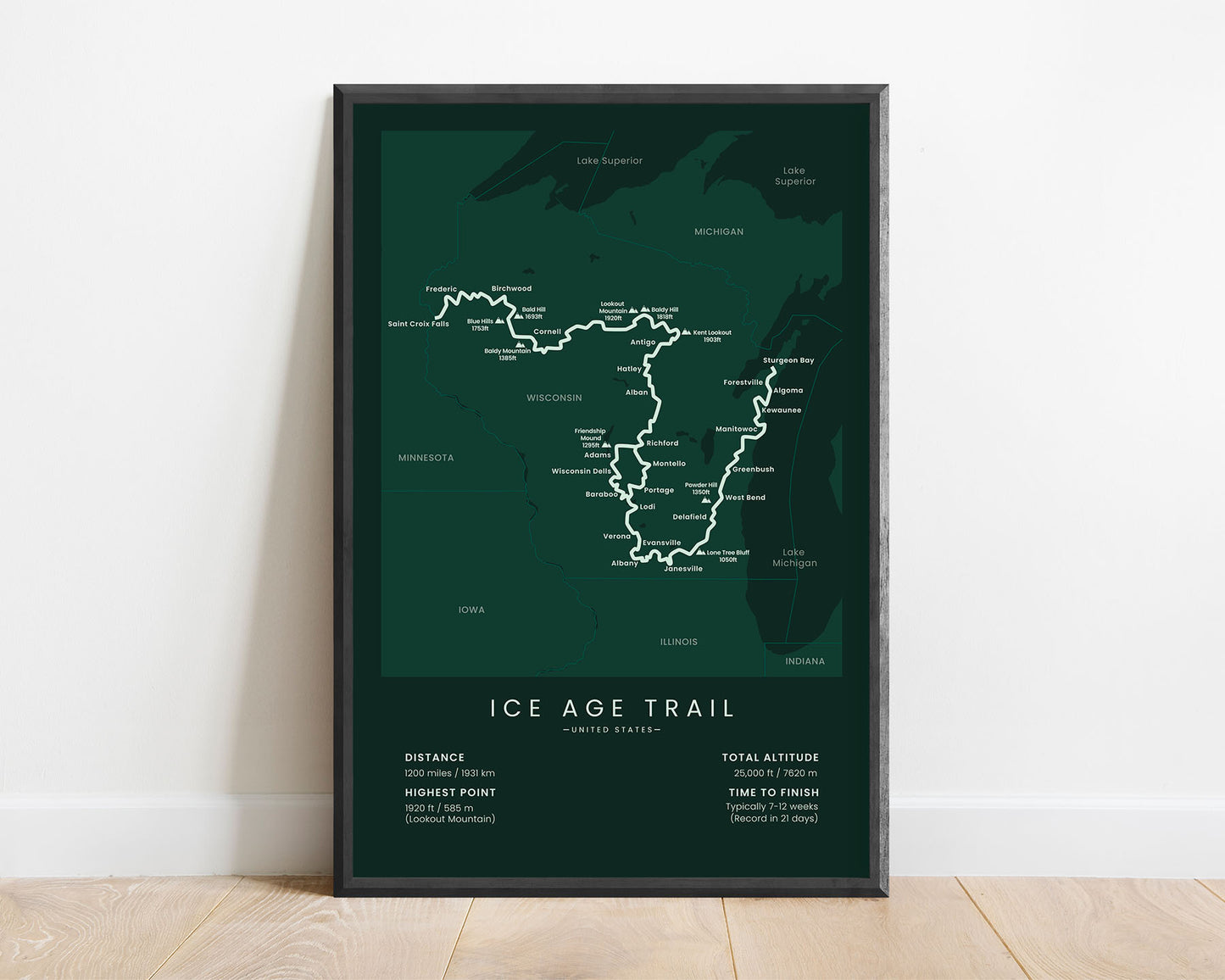

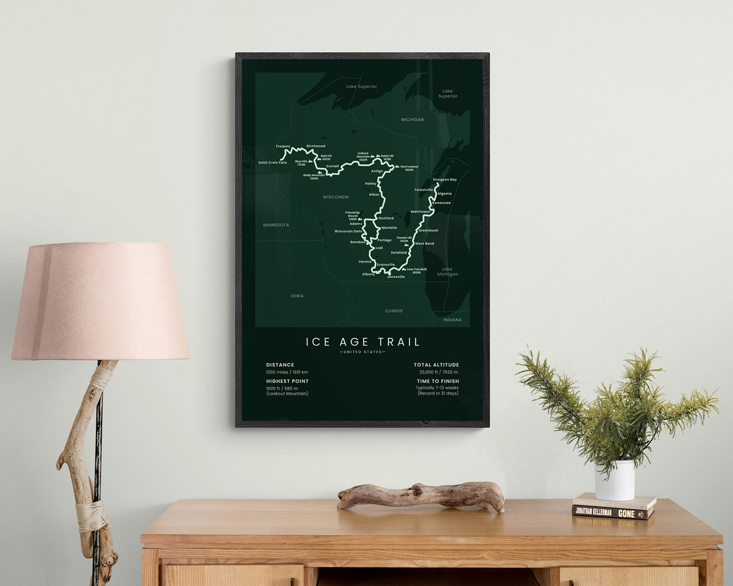

A poster that shows the entire map of the Ice Age Trail in Wisconsin. It shows the route itself, the main cities and peaks, and the main statistics about the trail. It’s made in a minimal style instead of a more typical map to better fit into modern and minimal interiors. You’ll also notice that it’s offered in many different color and size options to best fit your style. Not only will it showcase the main details about the trail, but also look good in your home.
About the Ice Age Trail
The Ice Age National Scenic Trail is a thru hike that goes through Wisconsin, United States. It's one of the 11 National Scenic trails in the United States, which is a network of long-distance trails that showcase the diversity and beauty of the American wilderness. The Ice Age Trail takes you along a continental Glacier and offers some spectacular scenery - dense and green forests, misty hills, green meadows, and lots of rivers and lakes. It's about 1200 miles long, and mostly consists of wild footpaths and backcountry roads. It starts at the Minnesota - Wisconsin state line and ends at Sturgeon Bay at Lake Michigan.
Statistics About the Ice Age Trail
- Start point: Saint Croix Falls, Wisconsin
- End point: Sturgeon Bay, Wisconsin
- Total distance: 1200 miles / 1931 km
- Total altitude gain/loss: 25 000 ft / 7620 m
- Highest point: 1920 ft / 585 m (Lookout Mountain)
- Countries crossed: United States
- States Crossed: Wisconsin
- Time to finish: Usually 7-12 weeks
- Record finish time: 21 days
- Best time to hike: April-October


