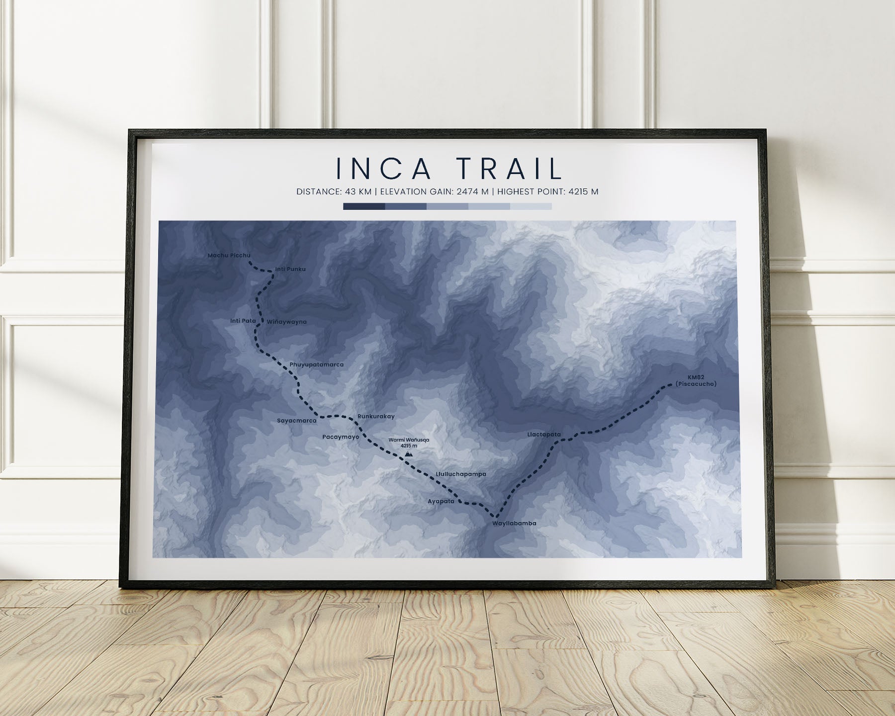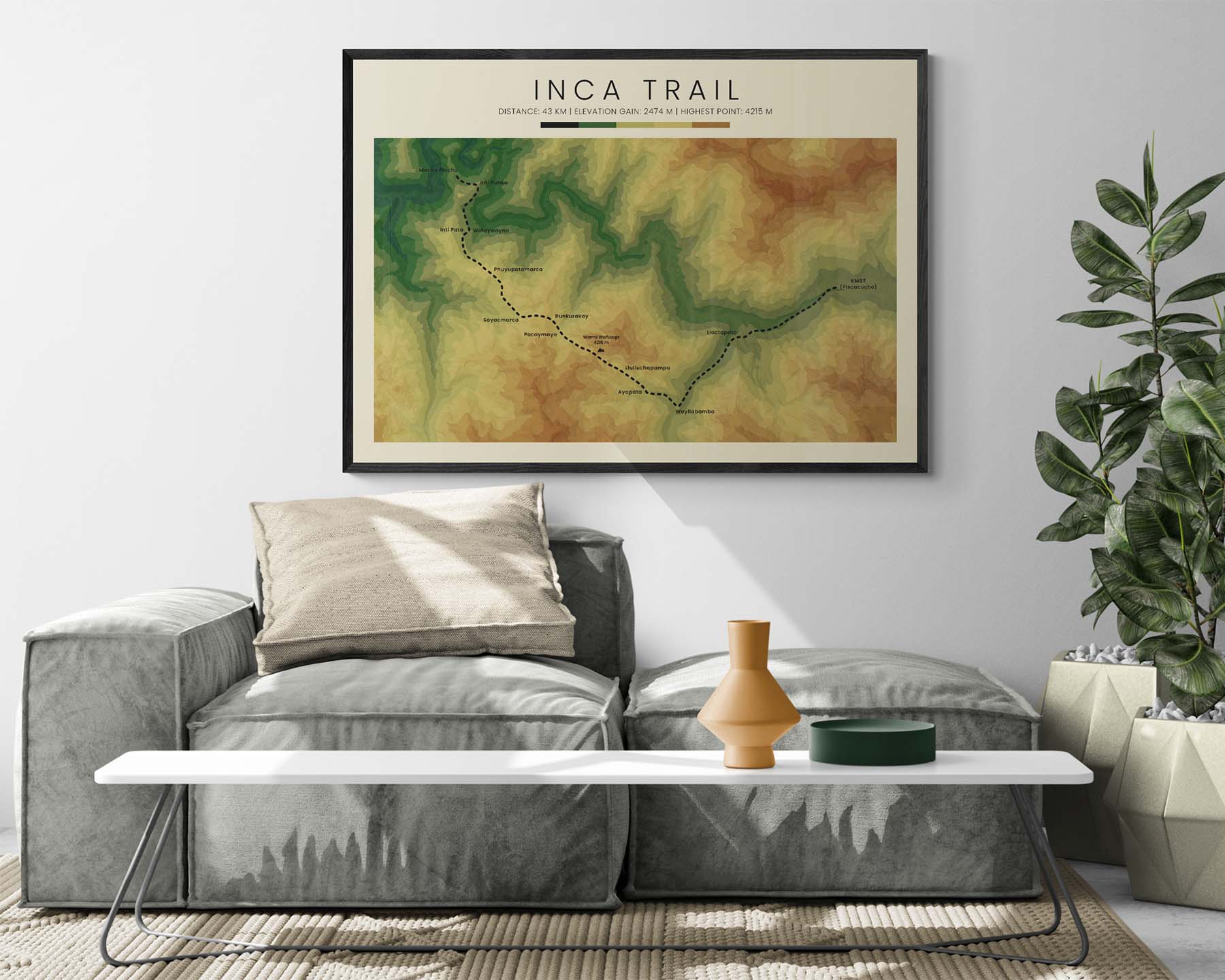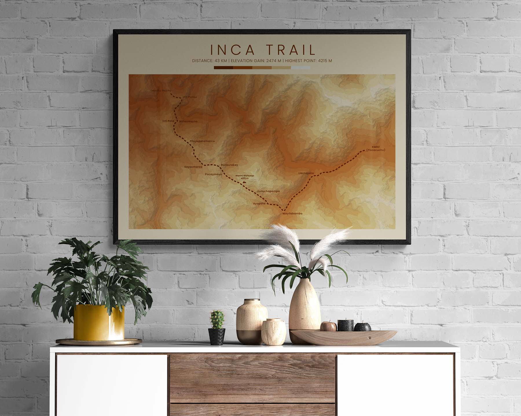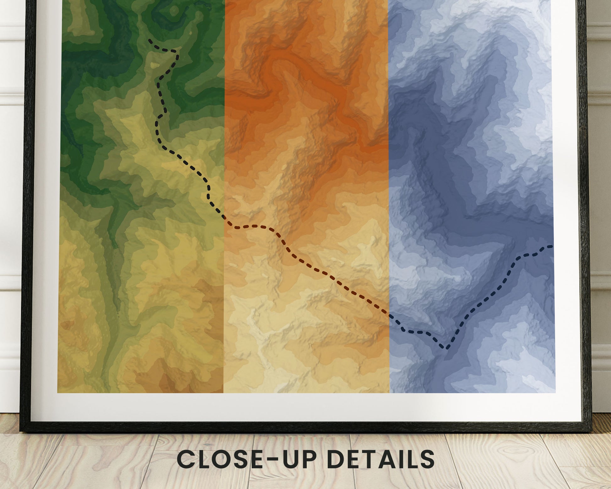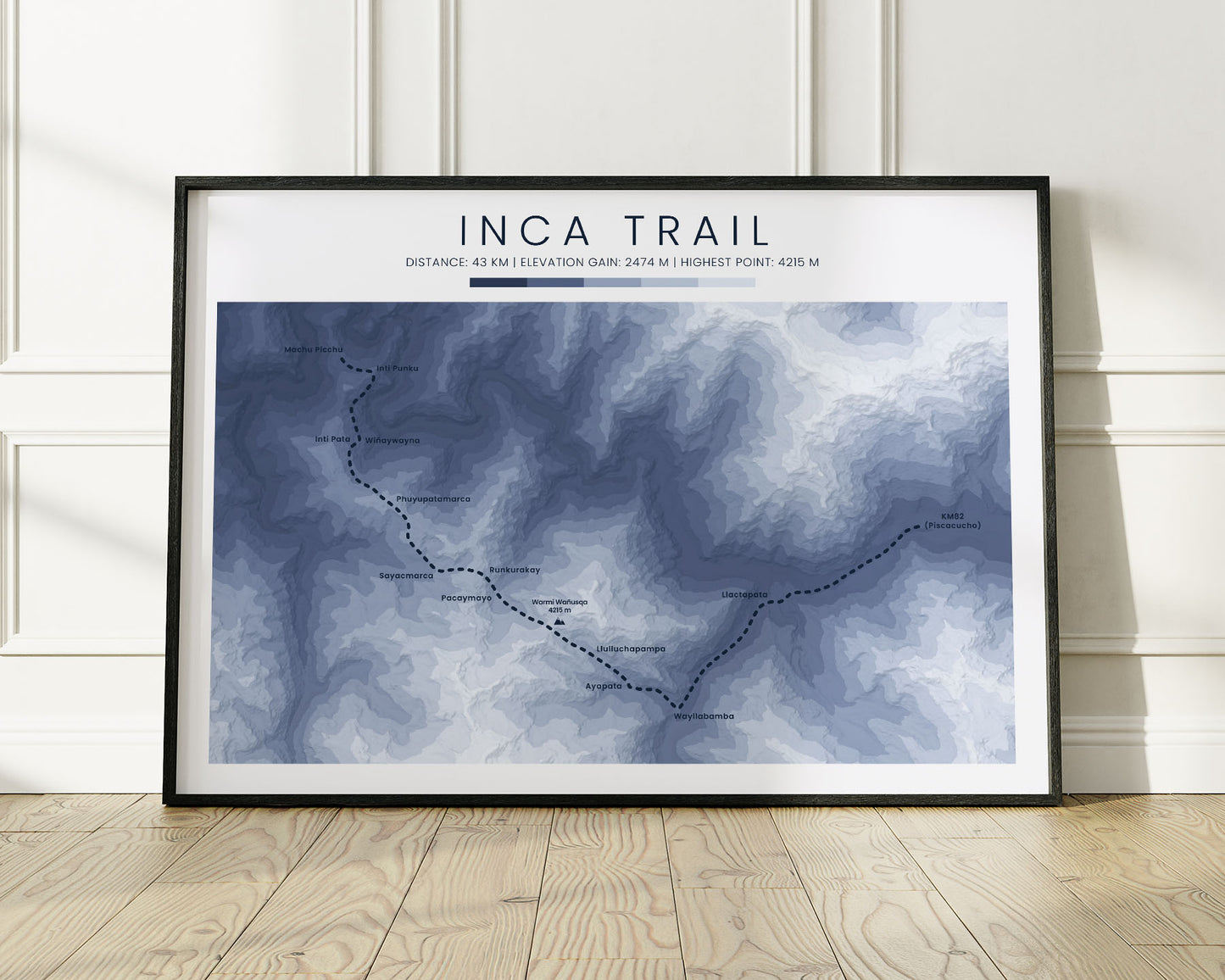
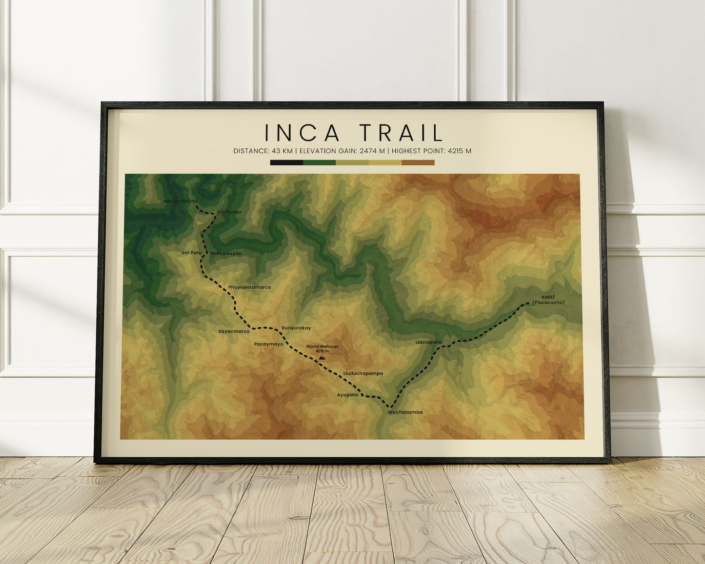
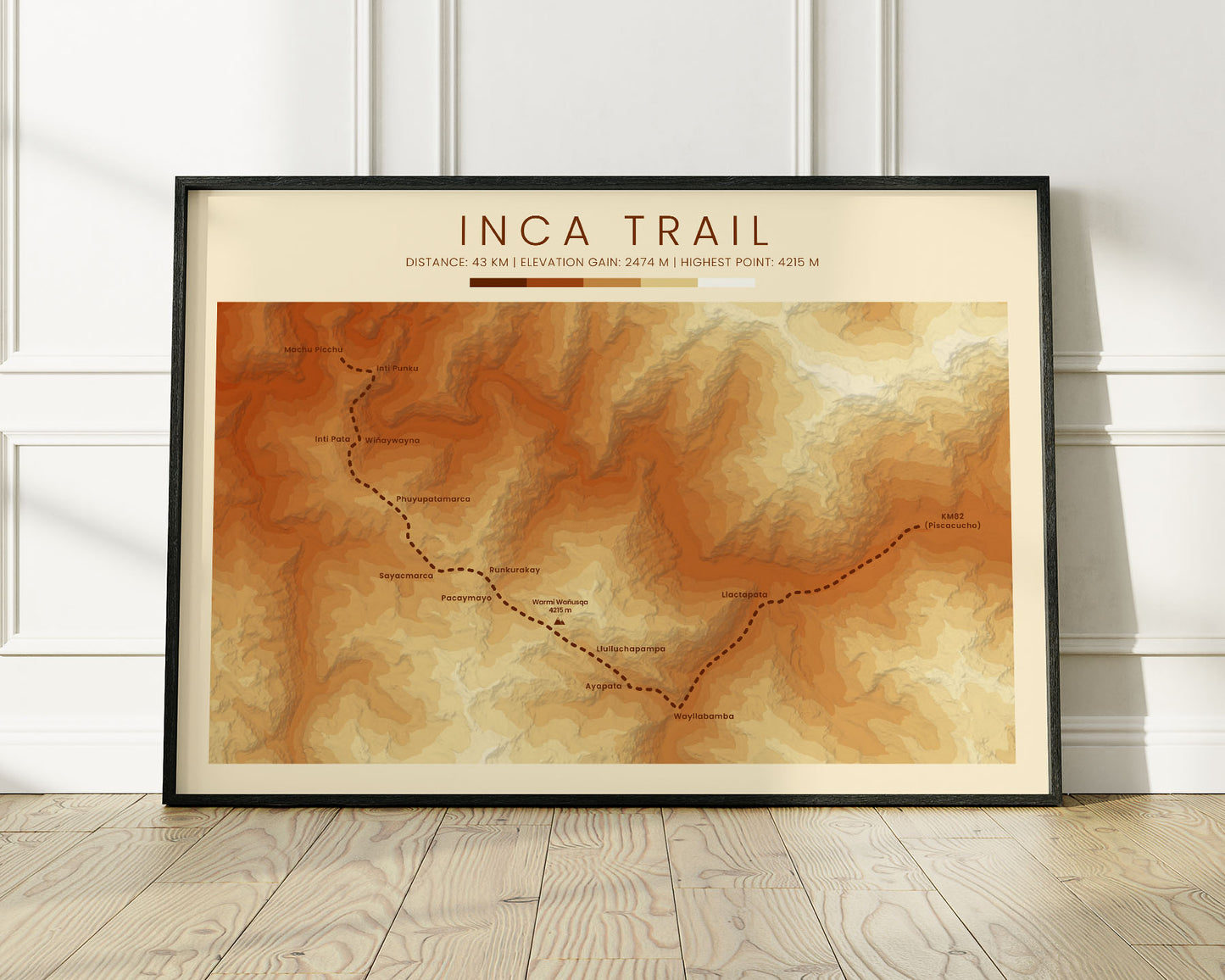
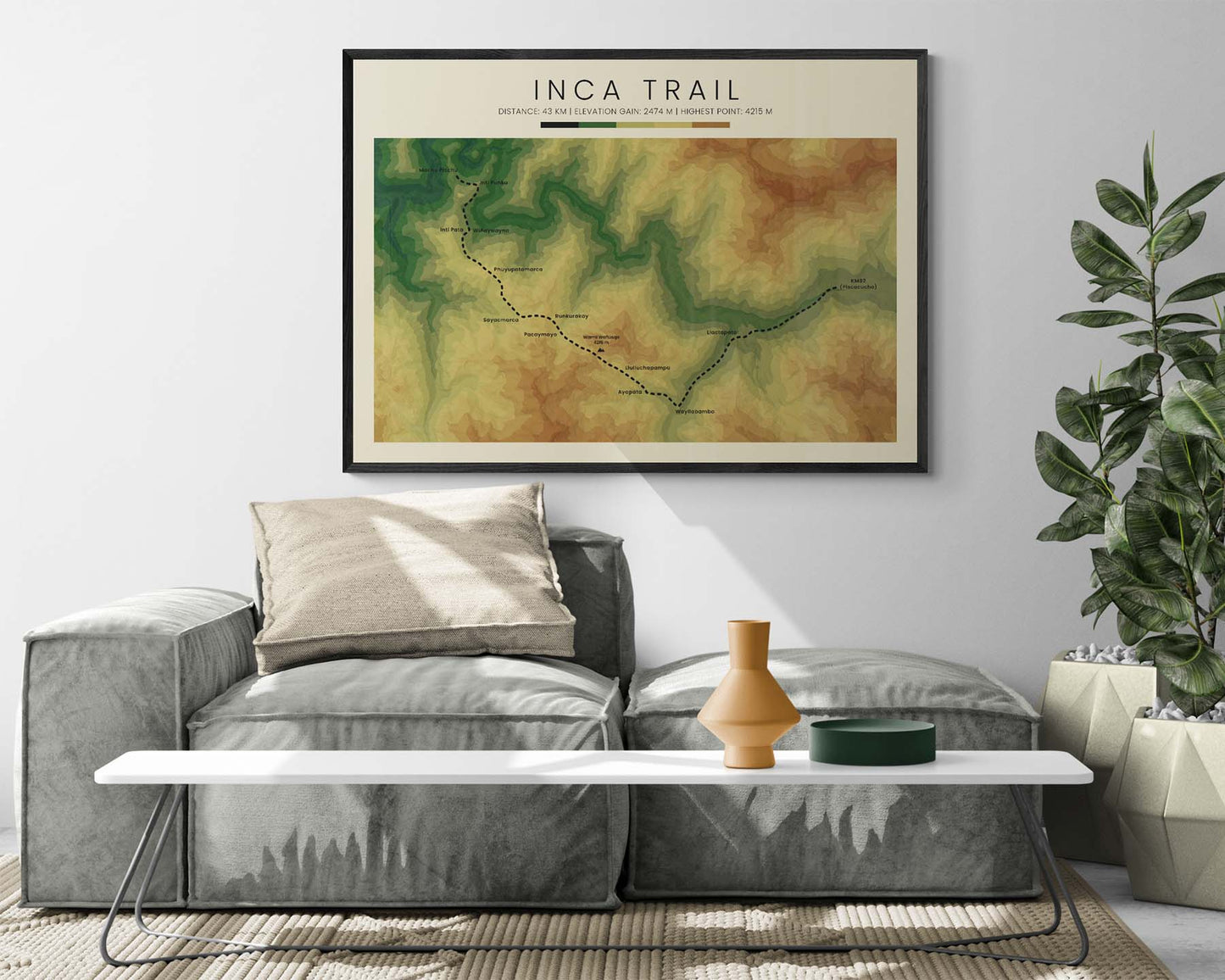

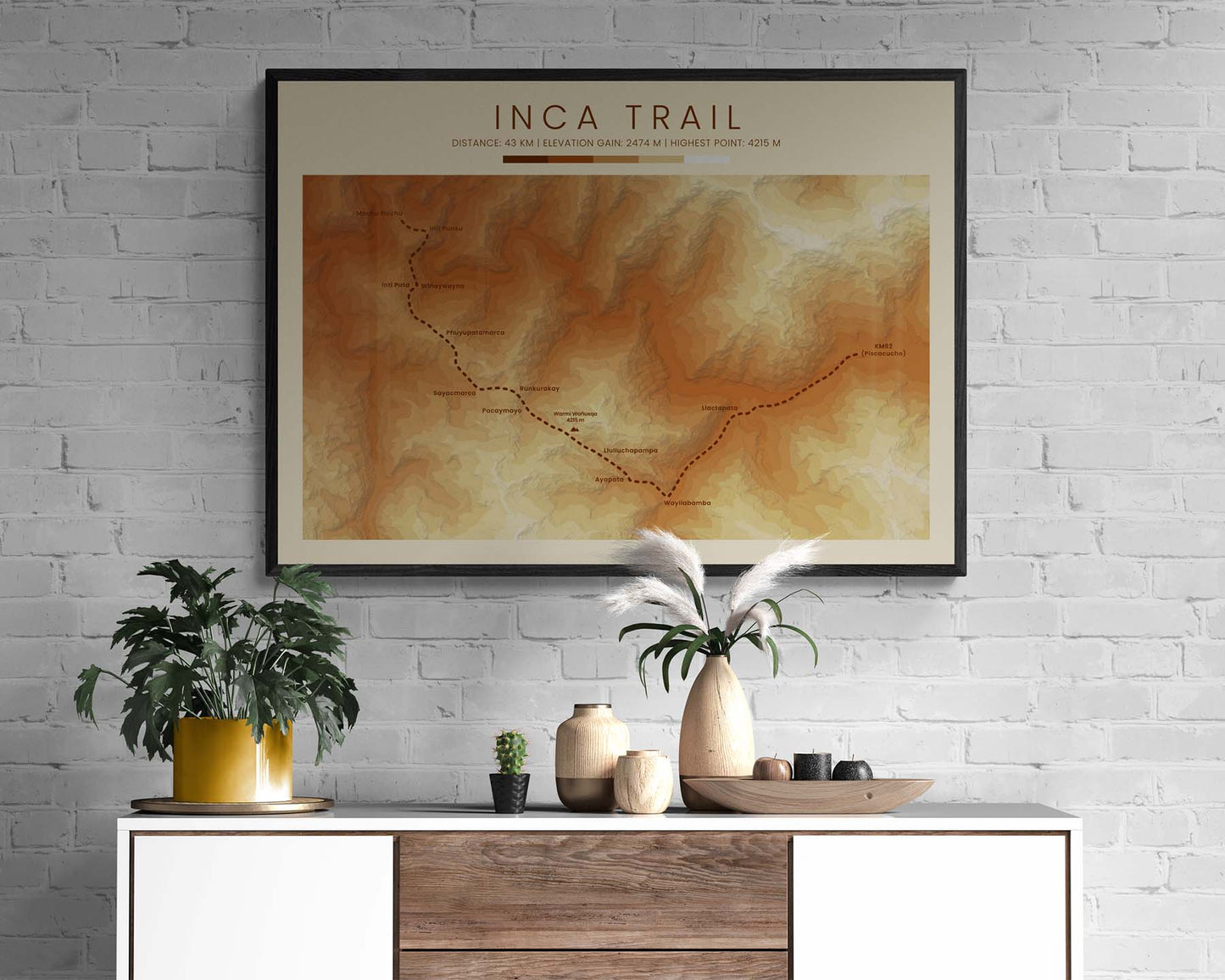
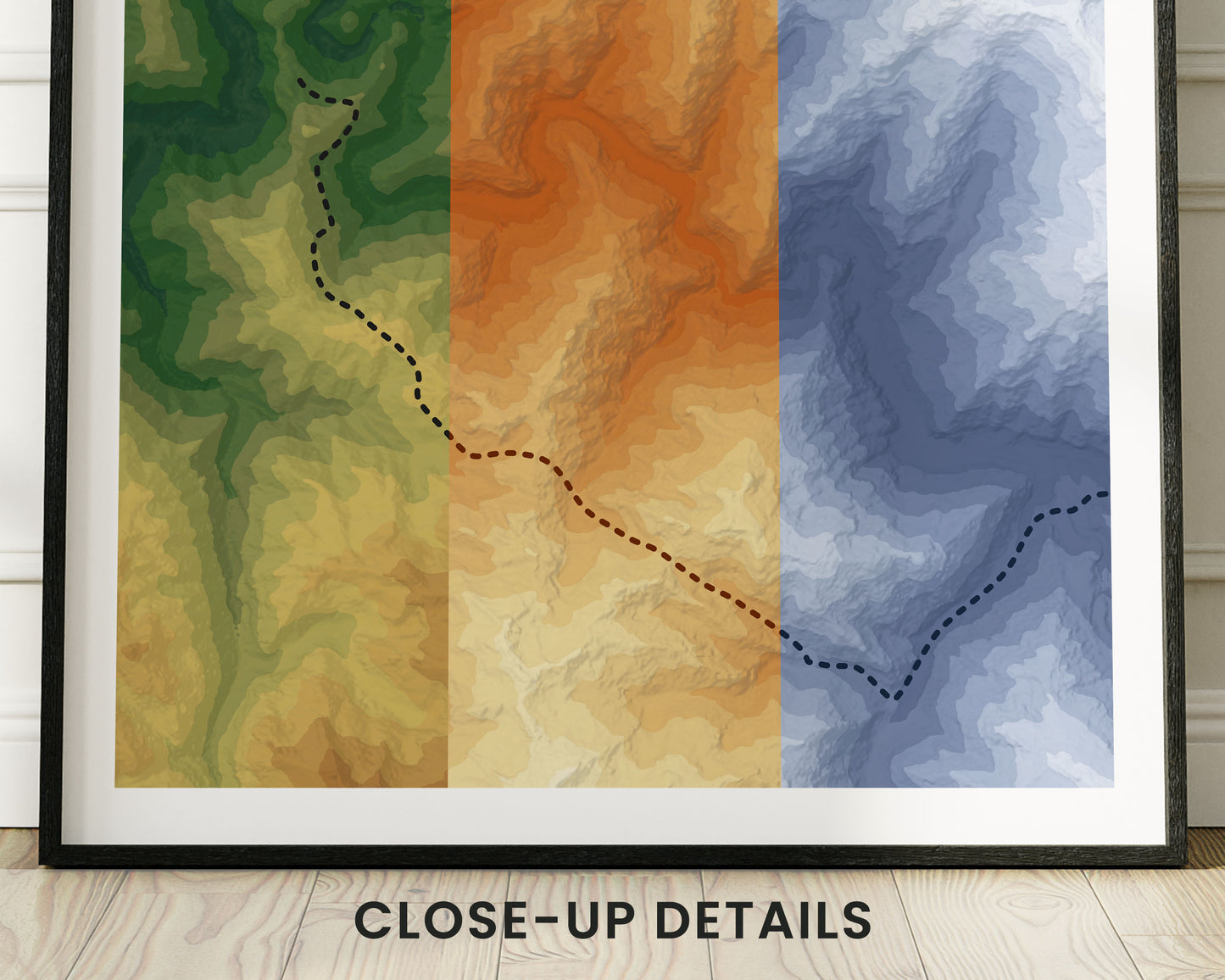

A topographic map print of the Inca Trail to Machu Picchu. It shows shaded relief and contour data and is colored in a few different color options, which turns it into a unique artwork. Because it's offered in minimalistic, vintage, and realistic color options, it will look good in most interior designs. If you've completed the Inca Trail, then this poster will offer a great way to remember your adventure.
About the Inca Trail to Machu Picchu
The Inca Trail to Machu Picchu, also called Camino Inca or Camino Inka, is arguably the most popular trek in South America. It's located in Peru and takes you up to the ancient Machu Picchu archeological site. The trek itself is quite difficult, but offers amazing views over the surrounding mountainous area.
Statistics About the Inca Trail
- Start point: Kilometer 82, Peru
- End point: Machu Picchu, Peru
- Total distance: 27 miles / 43 km
- Total altitude gain/loss: 8117 ft / 2474 m
- Highest point: 13 828 ft / 4215 m (Warmi Wanusqa Pass)
- Countries crossed: Peru
- Time to finish: Typically 2-3 days

