
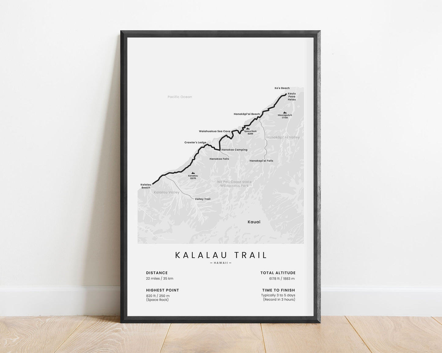
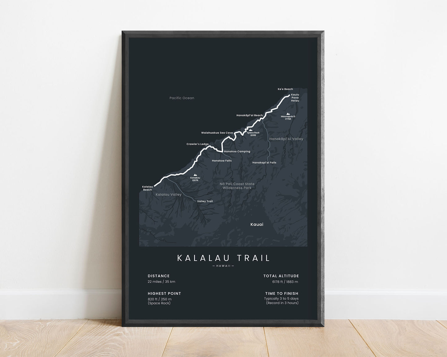
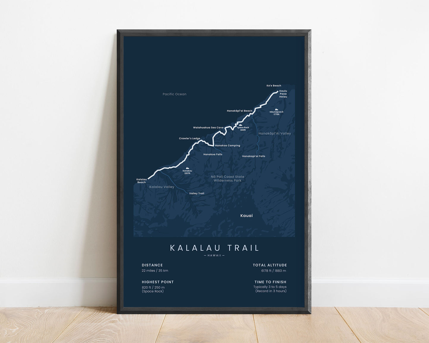
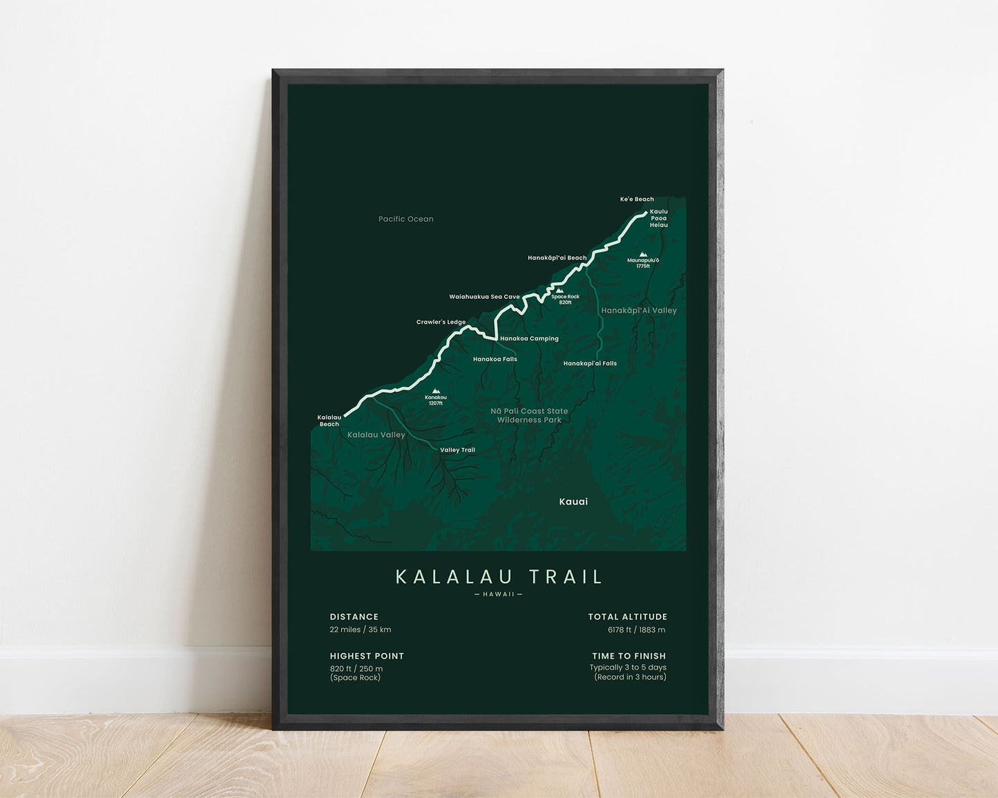
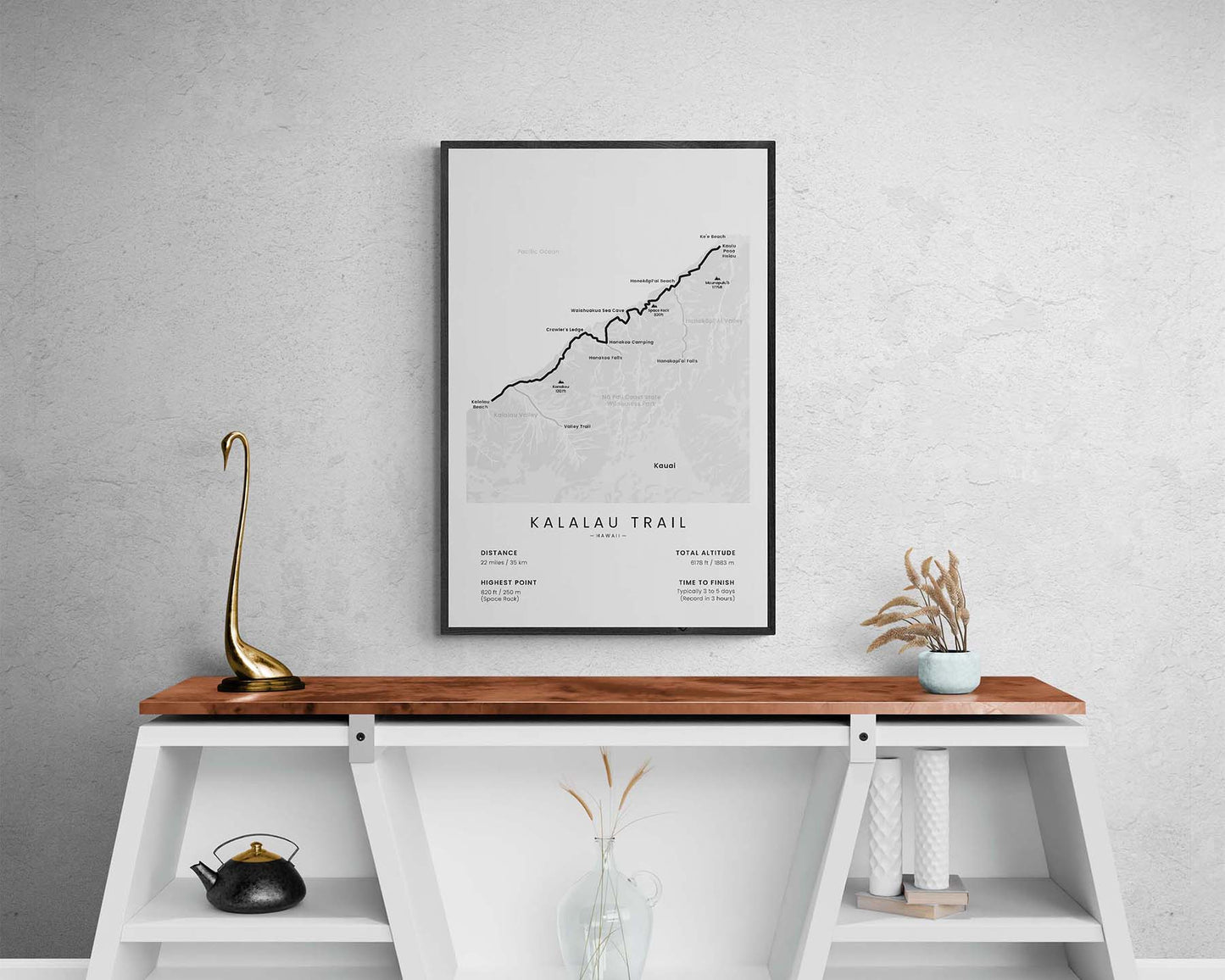
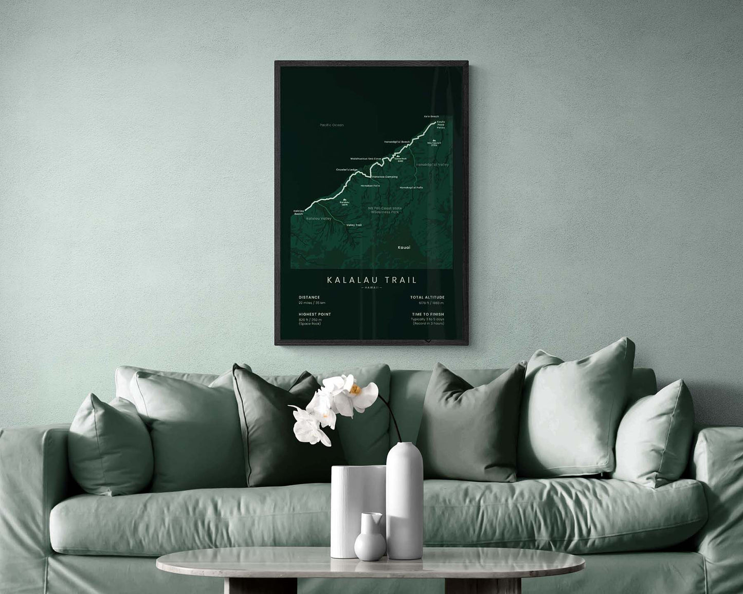

A print that displays the full map of the Kalalau Trail on the Nā Pali Coast in Hawaii. It includes the trail itself, important beaches, huts, campsites, peaks, and important statistics about the trail. If you’ve hiked this trail or you want to finish it, then this minimal poster will be a great way to display this adventure in your interior.
About the Kalalau Trail
The Kalalau Trail (other called Nā Pali Coast Trail) is the most popular hiking trail in Hawaii. It stretches 22 miles (to and back) from Ke'e to Kalalau beach across the Nā Pali Coast on Kauai Island. Although the trail itself is fairly short, it's considered to be very dangerous because it goes across steep ridges where one slip could mean falling hundreds of feet, multiple river crossings, and falling rocks. That said, it's also considered to be one of the most beautiful hiking trails in the world because it takes you through lush rainforests, steep coastal cliffs, and pristine beaches.
Statistics About the Kalalau Trail
- Start point: Kaulu Paoa Heiau, Ke'e Beach, Hawaii
- End point: Kalalau Beach, Hawaii
- Total distance: 22 miles / 35 km
- Total altitude gain/loss: 12 191 ft / 3716 m
- Highest point: 820 ft / 250 m (Space Rock)
- Countries crossed: Hawaii
- Time to finish: Typically 2-5 days
- Record: 3 hours
- Best time to hike: May - October


