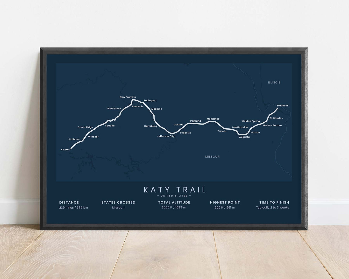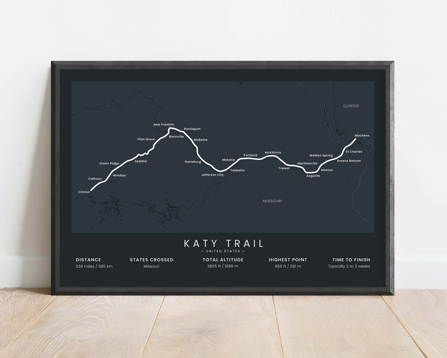


A minimalistic print that shows a map of the Katy Trail in Missouri, United States.
About the Katy Trail
The Katy Trail is a popular bikepacking trail in Missouri, United States. It runs along the MKT (Missouri Kansas Texas) Railroad and is currently the longest-developed railway trail in the United States. It's called the Katy Trail because historically the MKT rail line was pronounced as the K-T railroad. A large section of it goes right along the Missouri River. It's a very popular, well-marked, and mostly-paved, intended for cycling, hiking, and horseback use. It starts at Clinton in Western Missouri and ends at Machens, in eastern Missouri.
Statistics About the Katy Trail
- Start point: Clinton, Missouri
- End Point: Machens, Missouri
- Total distance: 239 miles / 385 km
- Total altitude gain/loss: 3605 ft / 1099 m
- Highest point: 955 ft / 291 m
- Time to finish: Typically 2 to 3 weeks


