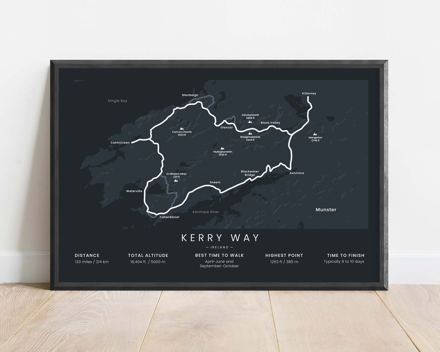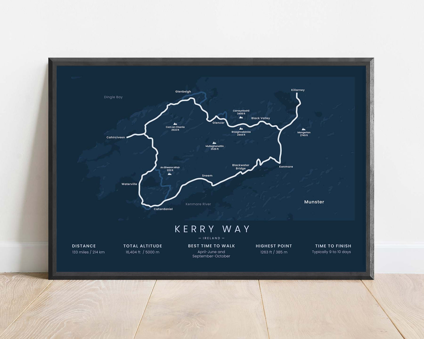


A minimalistic print of the Kerry Way (Slí Uíbh Ráthaigh) hiking trail in Ireland, County Kerry.
About the Kerry Way
The Kerry Way (in Irish "Slí Uíbh Ráthaigh") is the longest National Waymarked Trail in Ireland. It starts and ends at the city of Killarney, in County Kerry, and loops around the Iveragh Peninsula. It's essentially a footpath alternative to the popular Ring of Kerry Drive, which goes along a similar route. It's such a spectacular trail because it goes through very diverse landscapes - rugged coastlines, cultural and historic sites, moorlands, gentle mountains, and more.
Statistics About the Kerry Way
- Start and End point: Killarney, Ireland
- Total distance: 133 miles / 214 km
- Total altitude gain/loss: 16,404 ft / 5000 m
- Highest point: 1263 ft / 385 m
- Countries crossed: Ireland
- Time to finish: Typically 9 to 10 days


