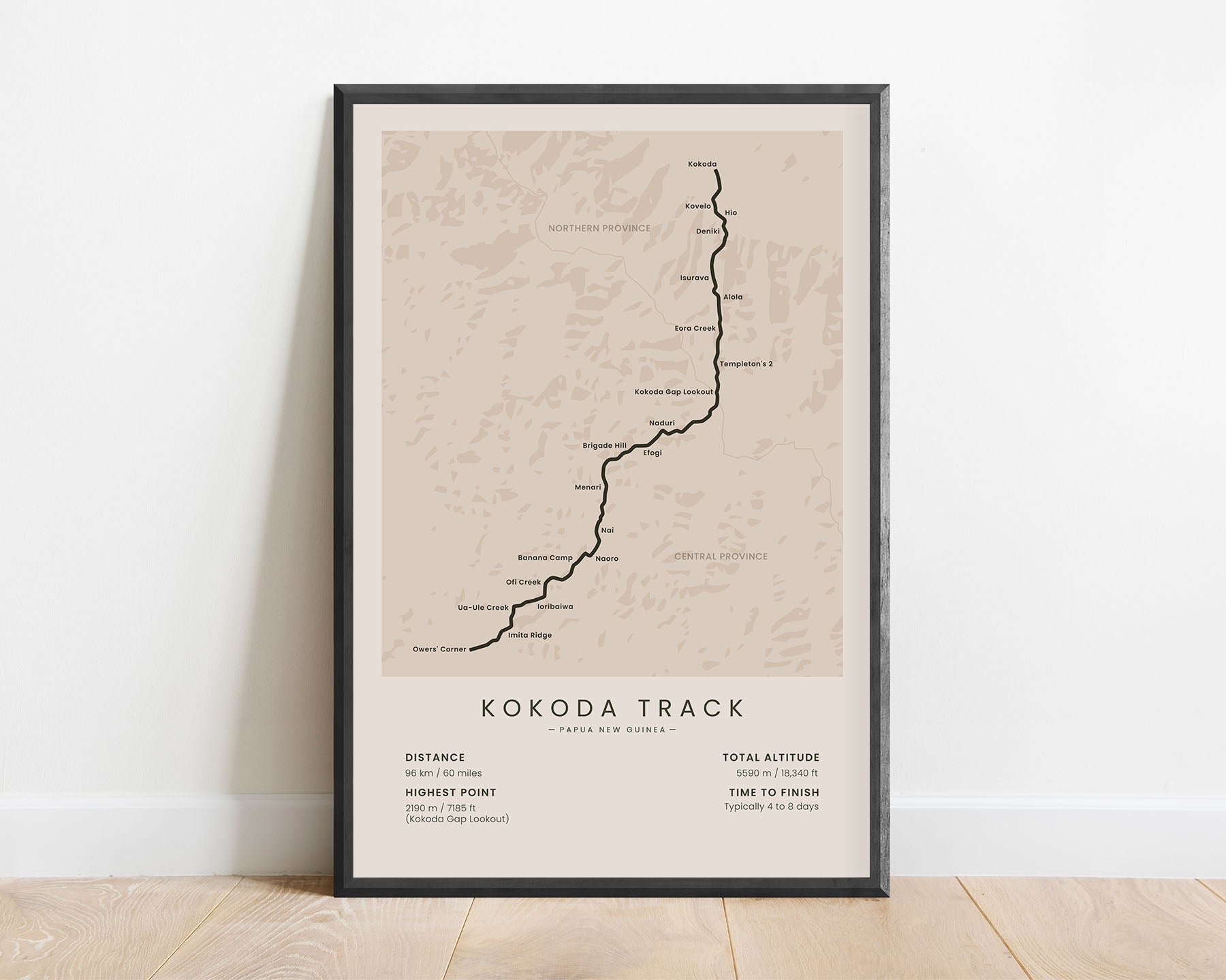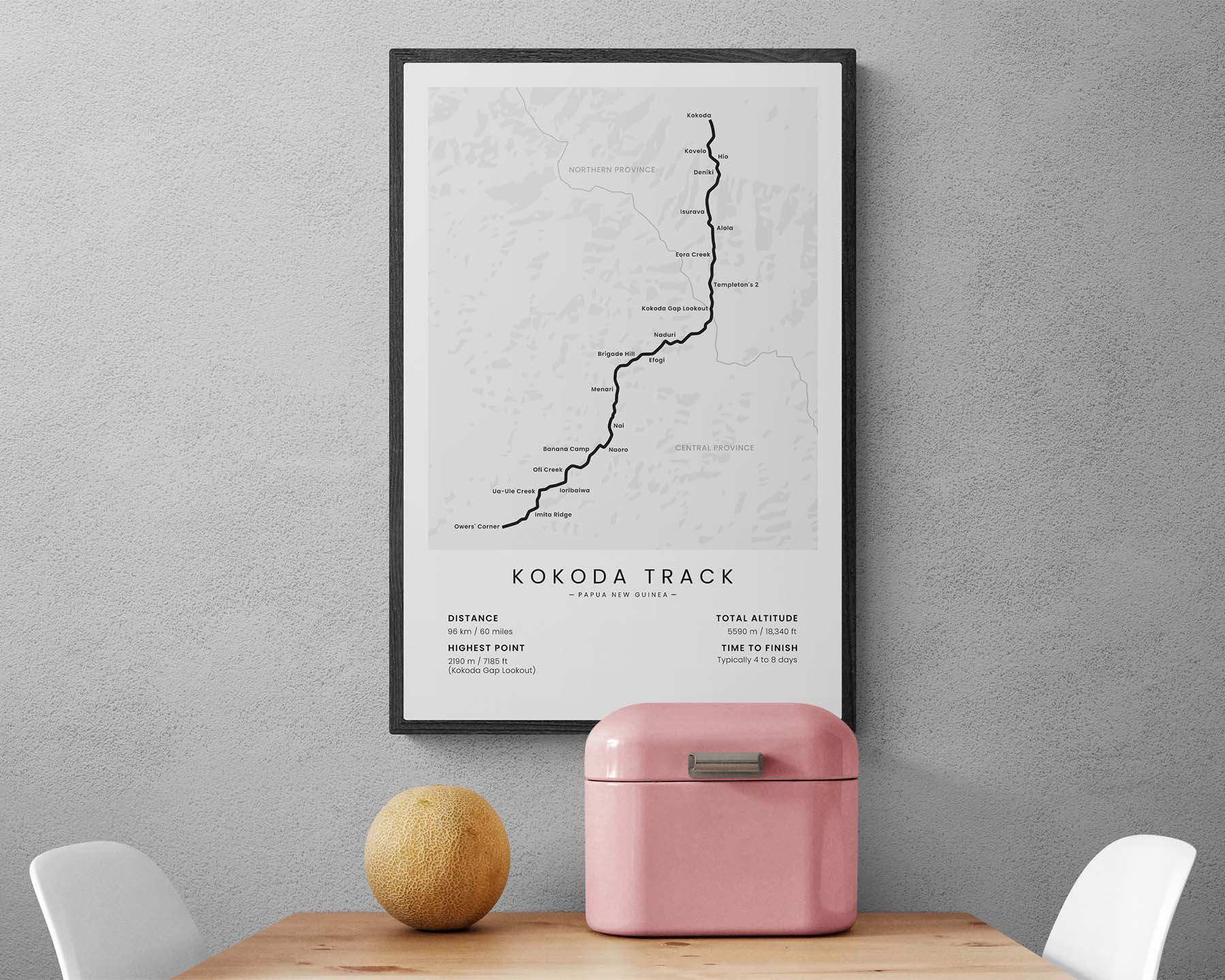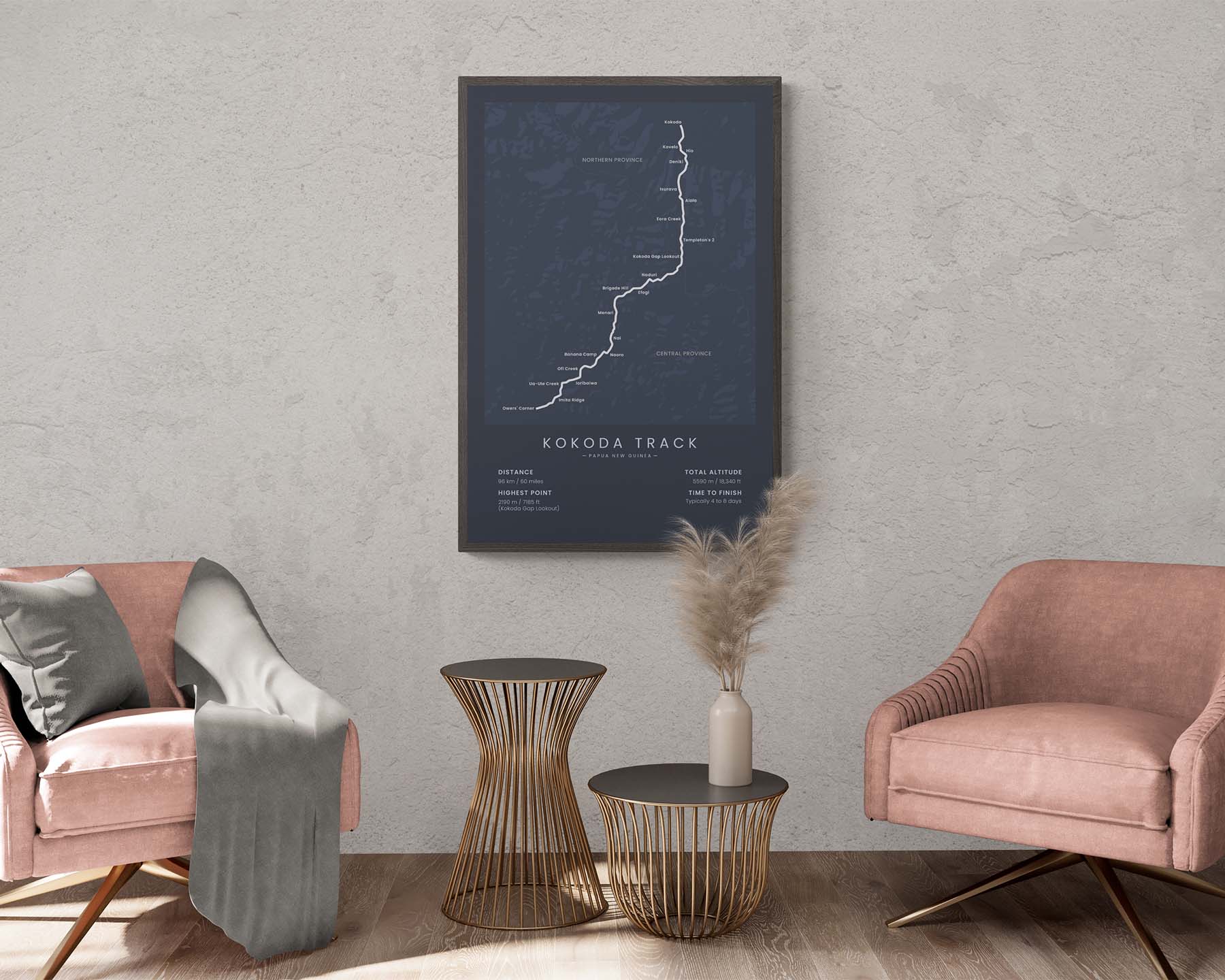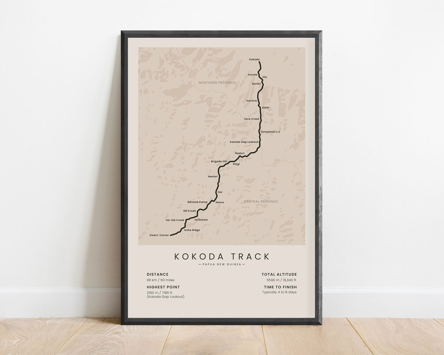
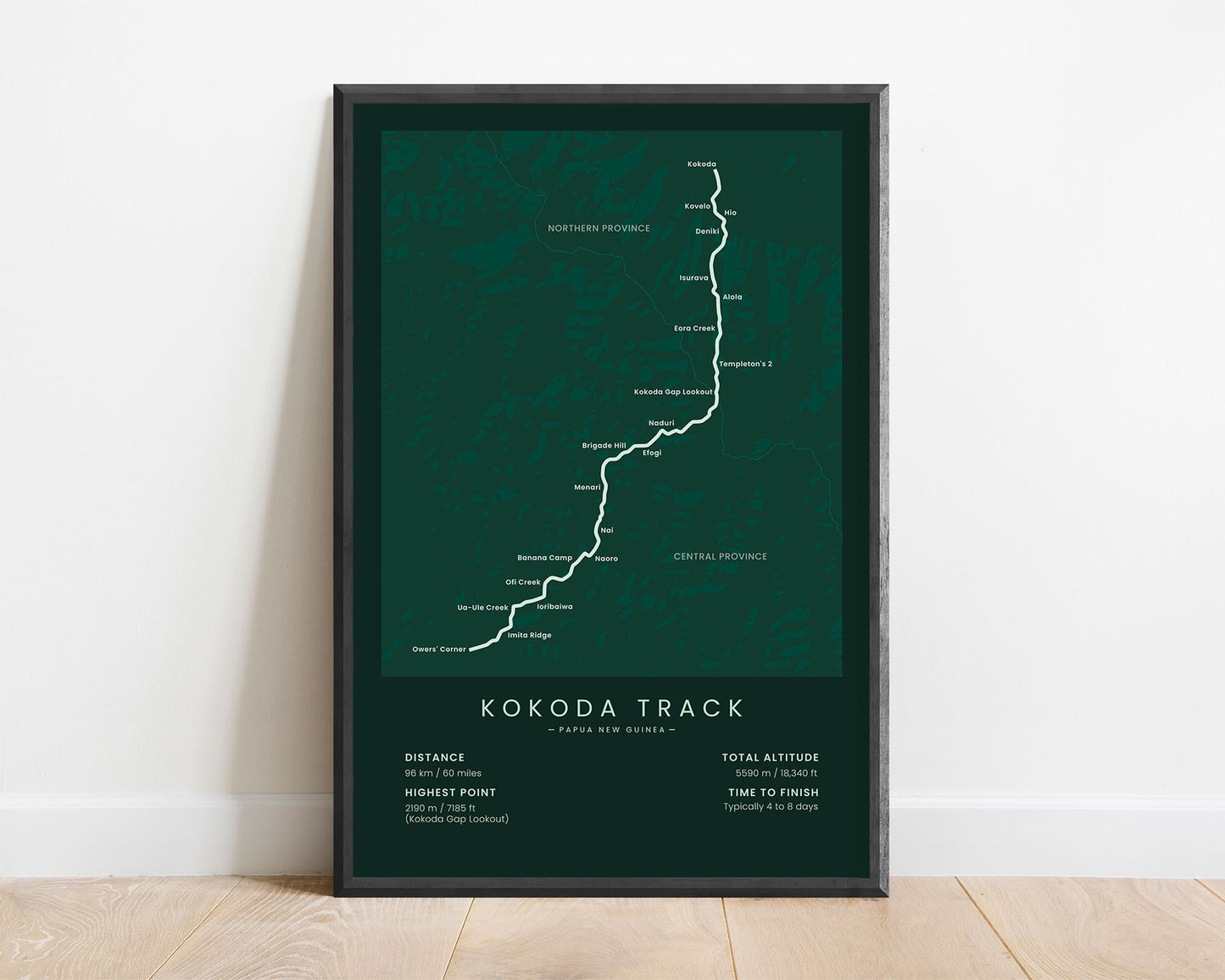
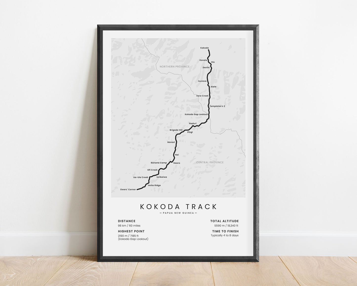
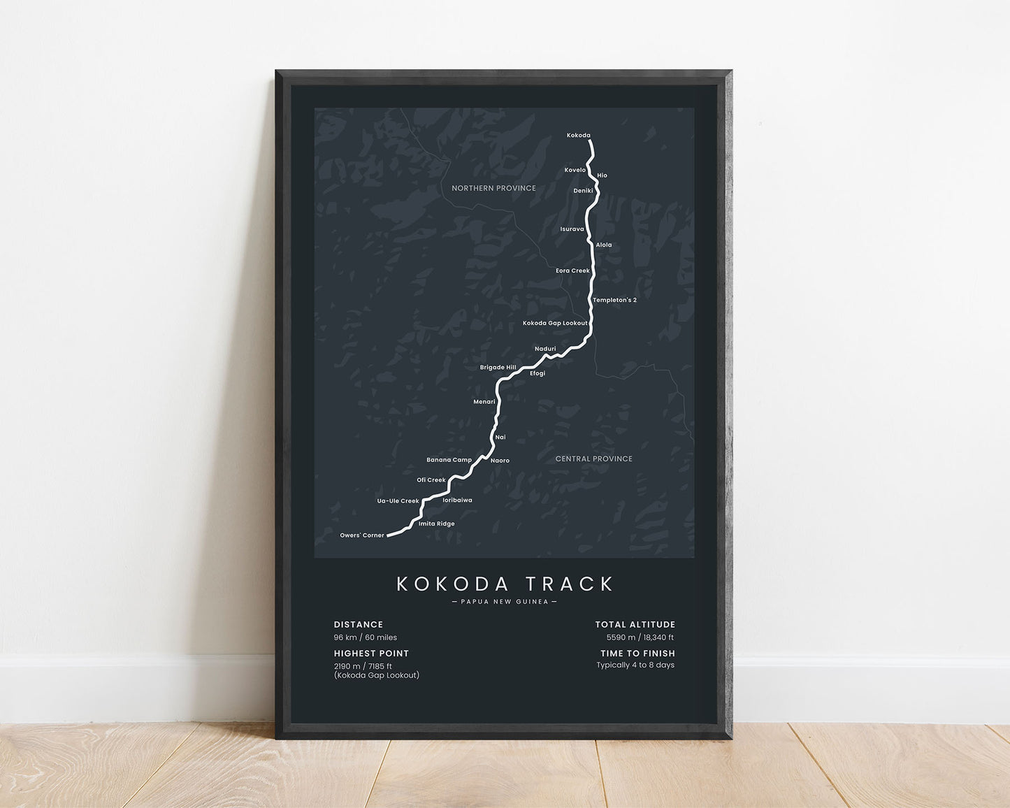
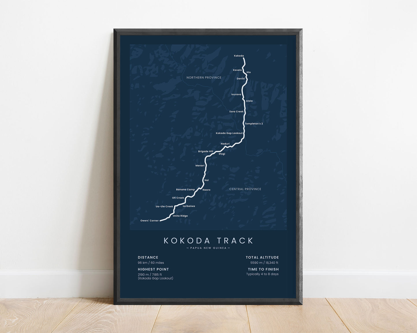
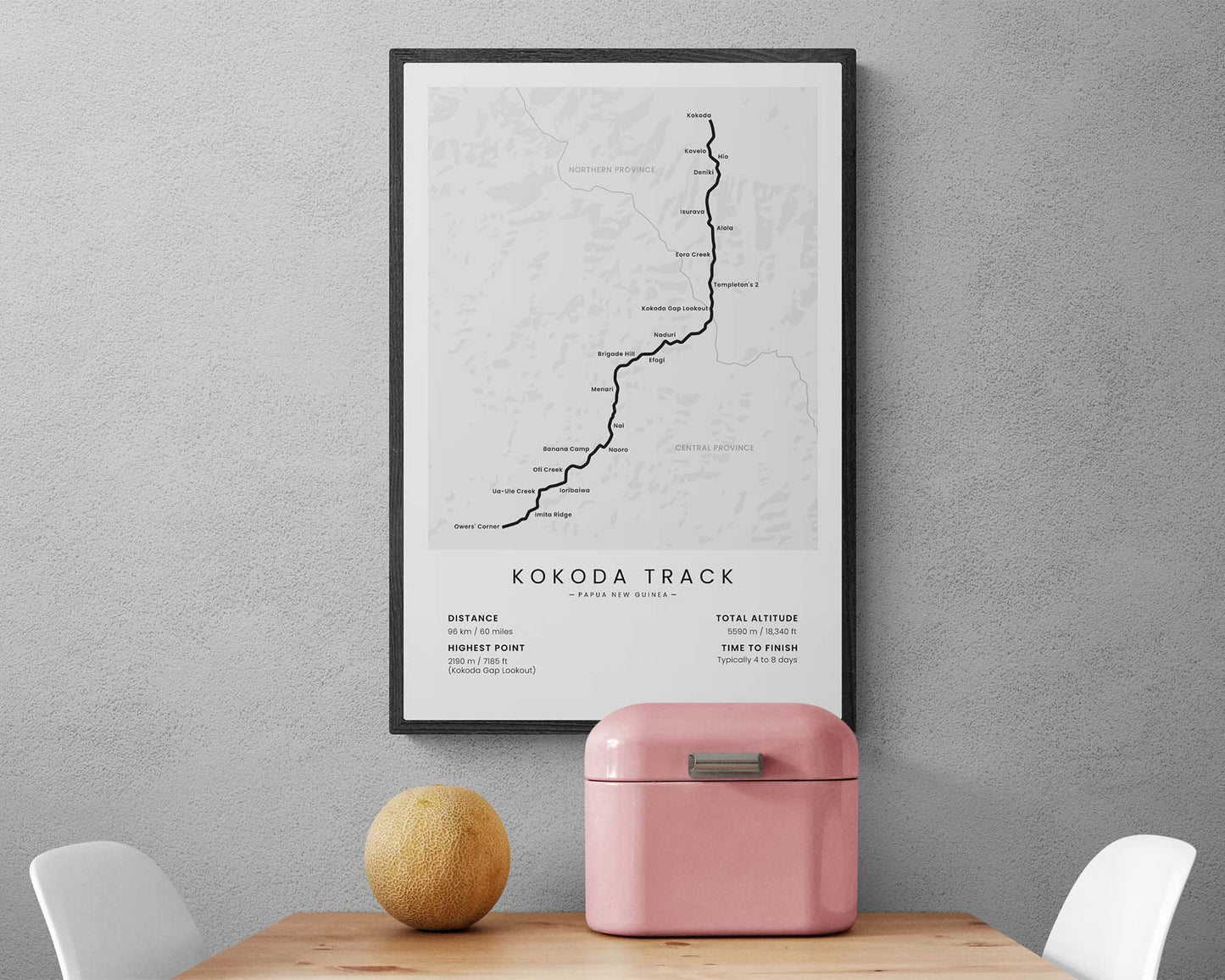
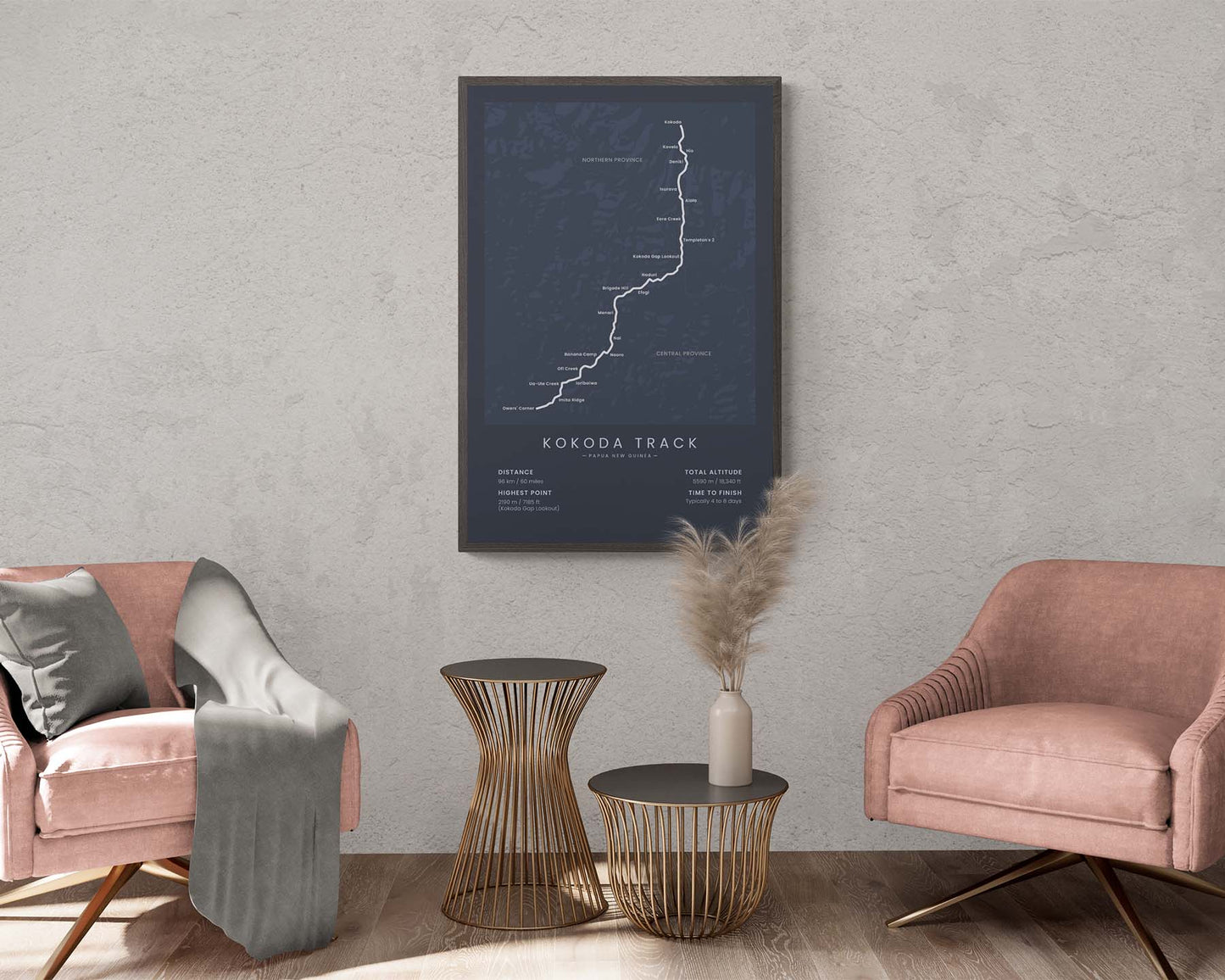

A print that displays the map of the Kokoda Track in Papua New Guinea. It shows the full route of the trail from Owen’s Corner to Kokoda, the largest villages along the way (Ioribaiwa, Naoro, Naduri, and others), the main points of interest (Brigade Hill, Kokoda Gap Lookout, Imita Ridge, and others), and also important statistics about the trail at the bottom. It’s offered in several different minimalistic color options to look good in all homes.
About The Kokoda Track
The Kokoda Track (other called the Kokoda Trail) is a challenging, several-day hike in Papua New Guinea in the Owen Stanley Range mountain range. It starts at Own's Corner, then goes 96 km across thick rainforests and steep mountains until finally reaching Kokoda. It's considered a difficult track due to hot temperatures, river crossings, and the risk of various tropical diseases. Nevertheless, it's completed by thousands of hikers each year because it's an adventure of a lifetime, giving you the full jungle experience. The Kokoda Track also comes with rich history, initially used by the local villagers, then by coal miners in late 19th century, and being the location of many battles in WW2 between Japan and Australia.
Statistics About the Kokoda Trail
- Start point: Owen's Corner, Central Province, Papua New Guinea
- End point: Kokoda, Northern Province, Papua New Guinea
- Total distance: 96 km / 60 miles
- Total altitude gain/loss: 5590 m / 18 340 ft
- Highest point: 2190 m / 7185 ft (Kokoda Gap Lookout)
- Time to finish: Typically 4 to 8 days

