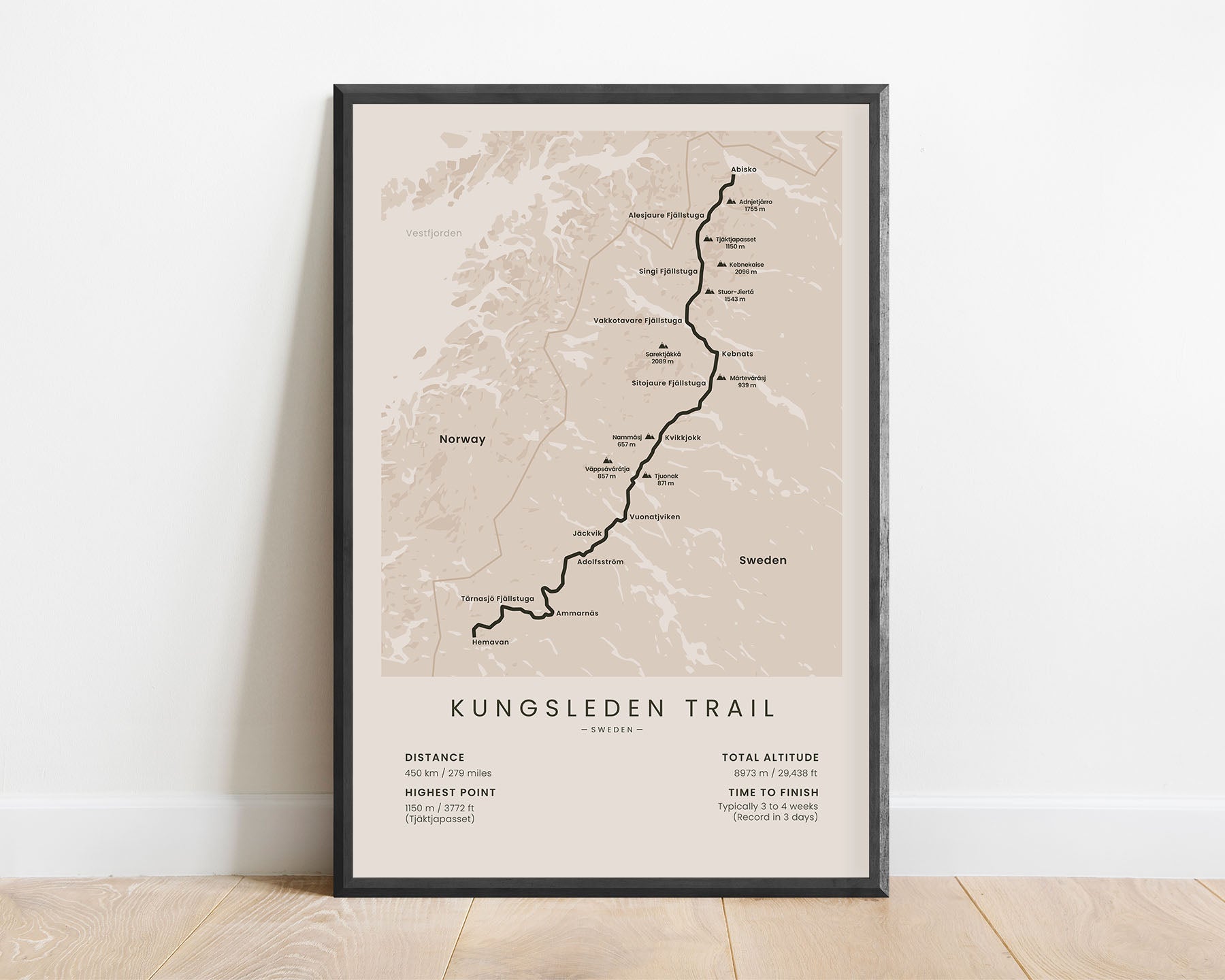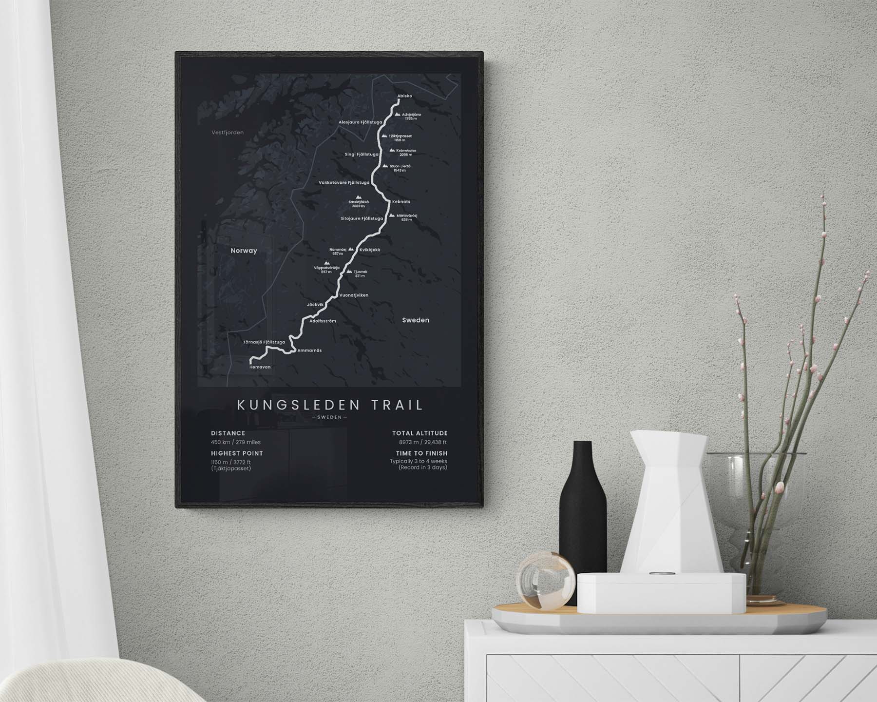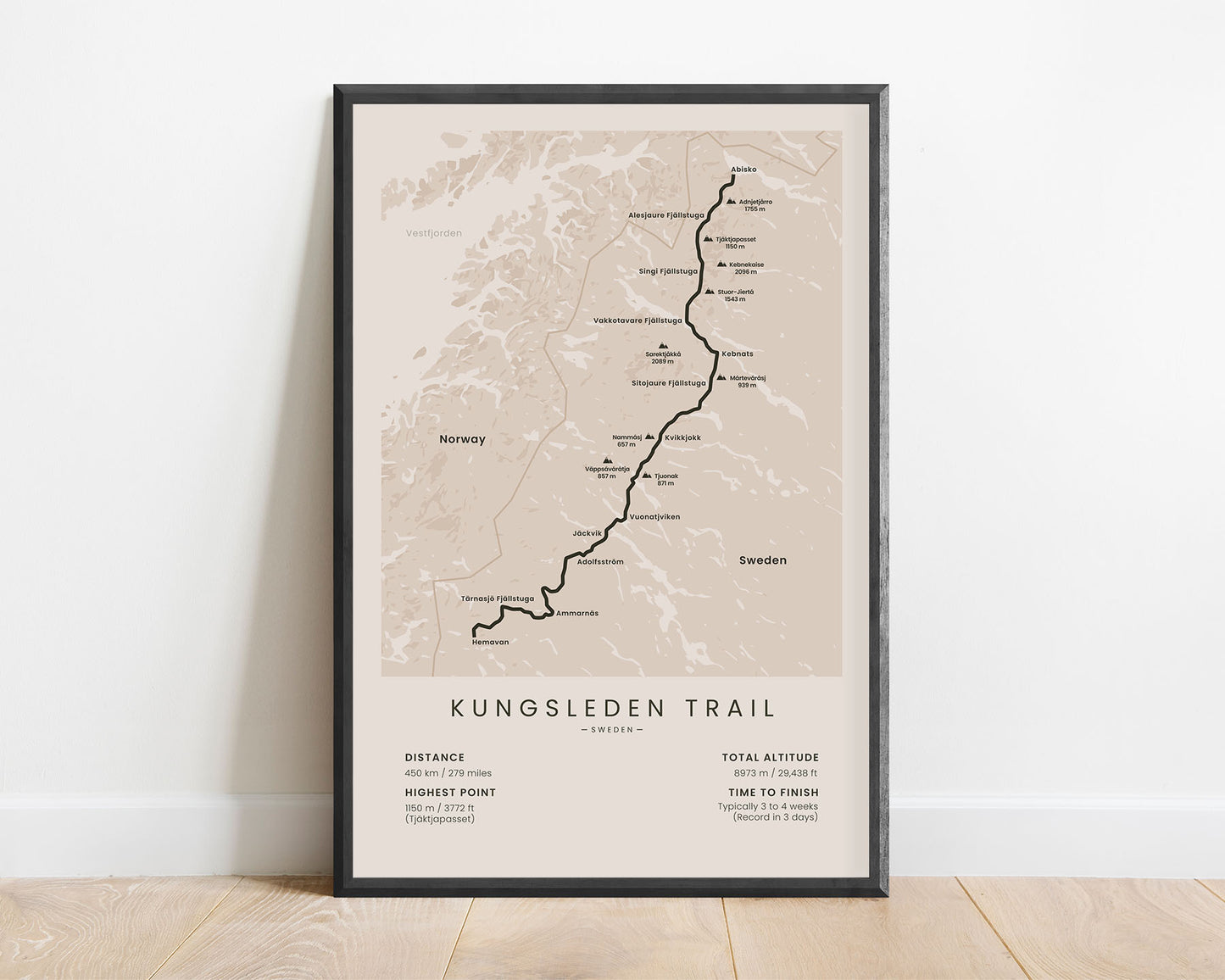
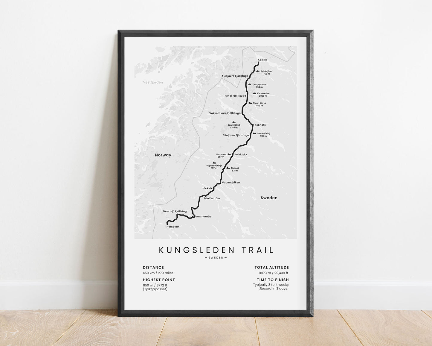
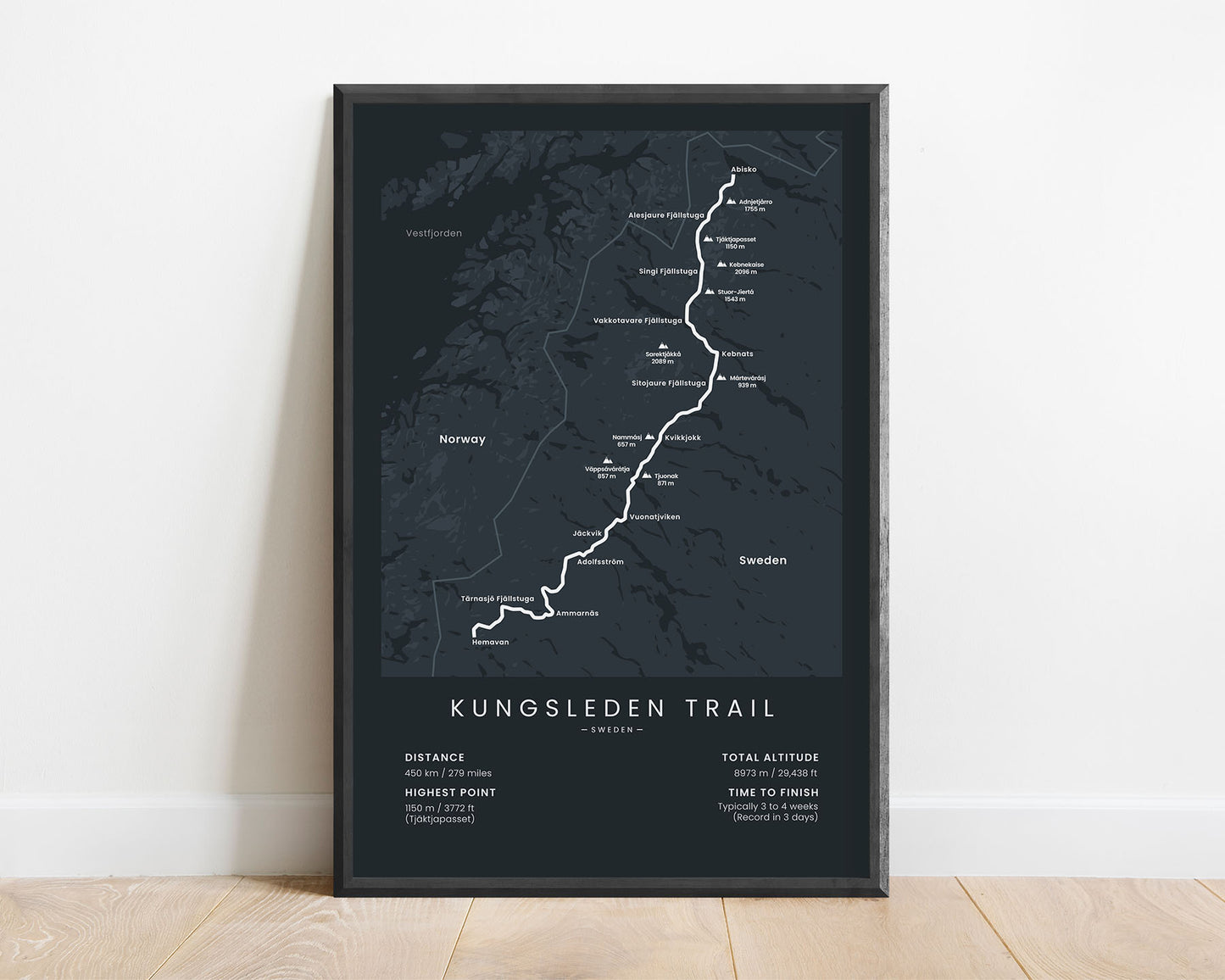
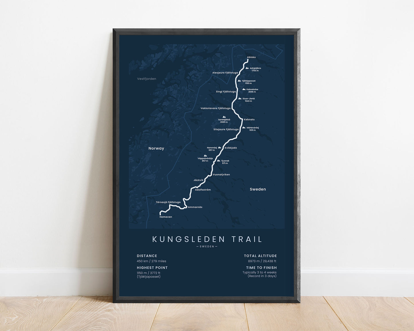
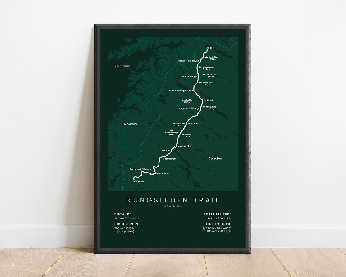

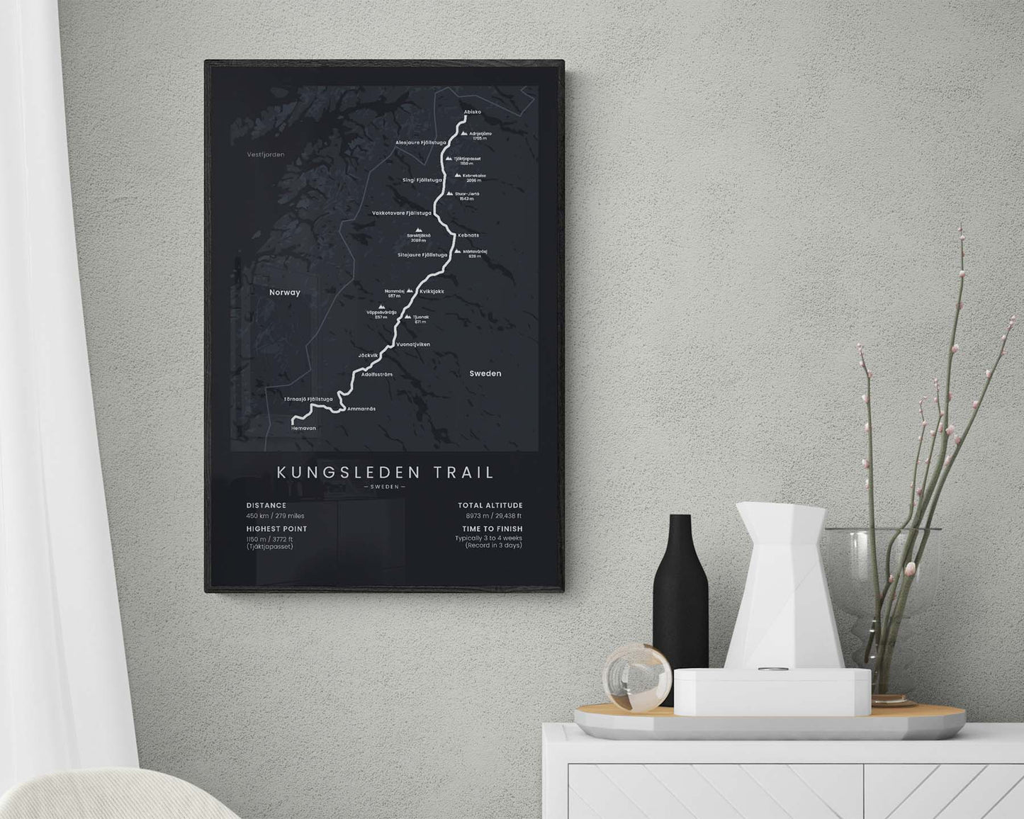

A map of the Kungsleden trail in Swedish Lapland, which shows the full route of the trail, the highest peaks, and the largest towns. It also includes important statistics about the trail on the bottom, like the total distance, elevation gain, highest point, and the average time to finish. It’s made in a minimal style, so it will not only show a map of the trail but also be an awesome design piece. If you know a friend who has finished the King’s Trail, then this poster could also be a great gift.
About the Kungsleden Trail
The Kungsleden Trail (other called the King's Trail) is Sweden's most popular long-distance trail. It stretches 450 km across the Swedish Lapland from Abisko to Hemavan. Along the way, you'll see spectacular views of the Vindelfjällen Nature Reserve - vast, uninhabited grasslands and large rolling hills, discover plenty of wildlife, and walk along countless lakes and rivers. It's considered a fairly difficult hike even though the trail itself is fairly easy because you have to be prepared for bad weather, there aren't many re-supply options, and you have to deal with an unimaginable amount of mosquitoes. The trail is very well-waymarked, and it's also very old - dating back to 1928.
Statistics About the King's Trail Trail
- Start point: Abisko, North Sweden
- End point: Hemavan, Sweden
- Total distance: 450 km / 279 miles
- Total altitude gain/loss: 8973 m / 29 438 ft
- Highest point: 1150 m / 3772 ft (Tjäktja Pass)
- Countries crossed: Sweden
- National parks crossed: Vindelfjällen Nature Reserve
- Time to finish: Usually 3 to 4 weeks

