


A topographic print of the Lemosho Route Summit Trek of Mount Kilimanjaro. It shows a topographic contour map of the area, as well as an elevation profile of the hike at the bottom.
About the Lemosho Route
The Lemosho Route is one of the most popular and scenic trails leading to the summit of Mount Kilimanjaro, the highest peak in Africa. Located in Tanzania, this route is known for its beautiful and varied landscapes - from lush rainforest and heather moorland to alpine desert and glaciated slopes. Climbers typically ascend with the support of experienced guides and porters, yet the journey remains physically demanding due to the mountain’s extreme elevation. Even with proper preparation, about 20-30% of hikers are unable to reach the summit, most often because of altitude-related challenges. Despite its difficulty, the Lemosho Route is favored for its high success rates compared to other trails, excellent acclimatization profile, and relatively low early-stage crowding, making it a rewarding choice for those seeking both challenge and remarkable natural beauty.
Statistics About the Lemosho Trail
- Start point: Lemosho Gate, Tanzania
- End point: Mweka Gate, Tanzania
- Total distance: 70 km / 43 miles
- Total altitude gain/loss: 4918 m / 16,135 ft
- Highest point: 5895 m / 19,341 ft (Uhuru Peak - Mount Kilimanjaro)
- Countries crossed: Tanzania
-
Time to finish: Typically 6 to 9 days

High Quality Matte Prints
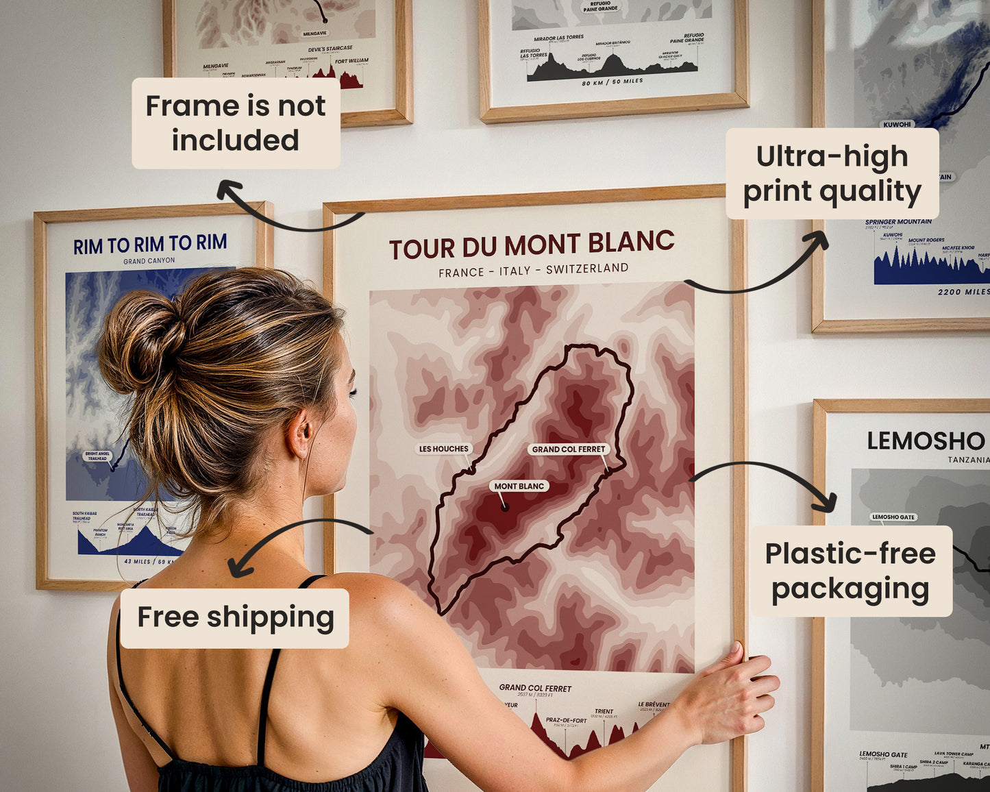
Our posters are manufactured using ultra high definition printers with very rich and vivid colors. They're printed on thick, 189 g/m² matte paper sourced from Japan.

Plastic-Free Packaging
Our prints are shipped in cardboard triangles instead of typical tubes. This is better for the enviroment, because no plastic is used in the packaging.

The Right Size & Color for You
Our sizes are offered in imperical and metrical measurements, so it's easier for you to find the right frame locally.

Free Shipping With 2+ Posters
Save money by adding another poster to your cart (maybe as a gift for one of your friends or close relative), and get free shipping, even on international orders.

No Import Fees*
We have fulfillment locations in the United States, Canada, the United Kingdom, Spain, and Latvia. They're always manufactured from the closest one to your shipping address, so you can avoid paying import tax, get quicker deliveries, and reduce your carbon footprint.

30-day Satisfaction Guarantee
If, for whatever reason, you change your mind, we accept returns within 30 days of the delivery date.