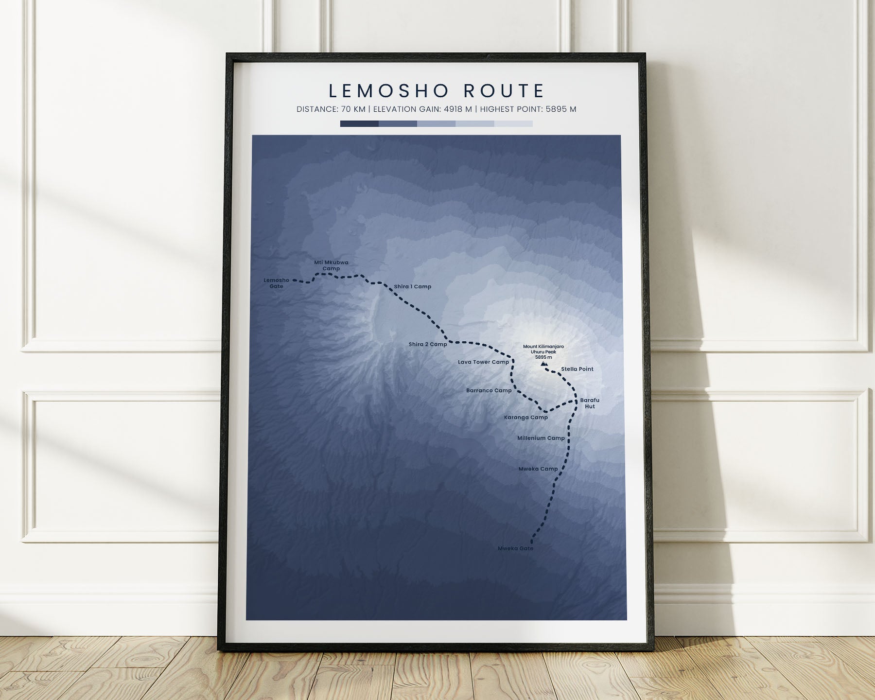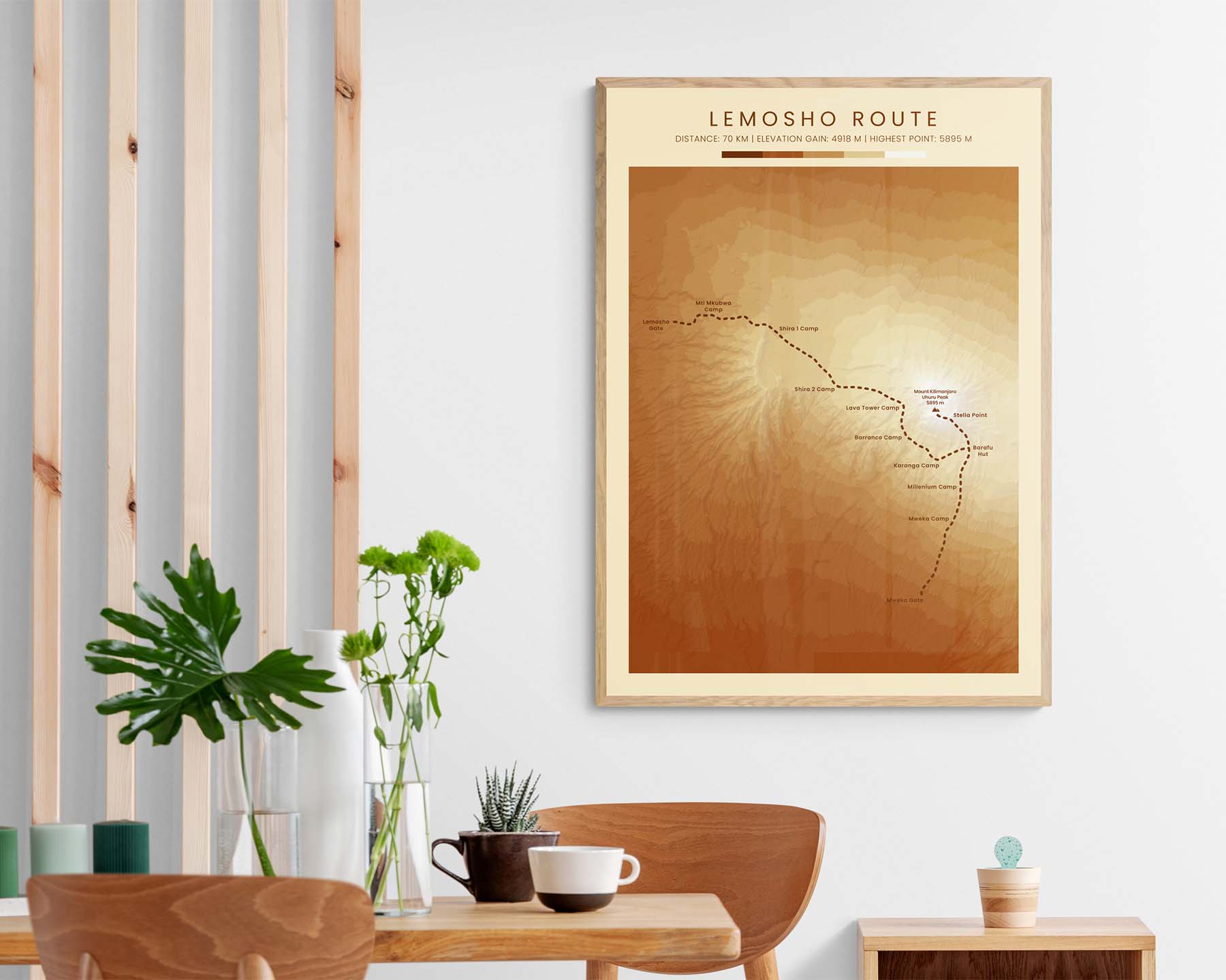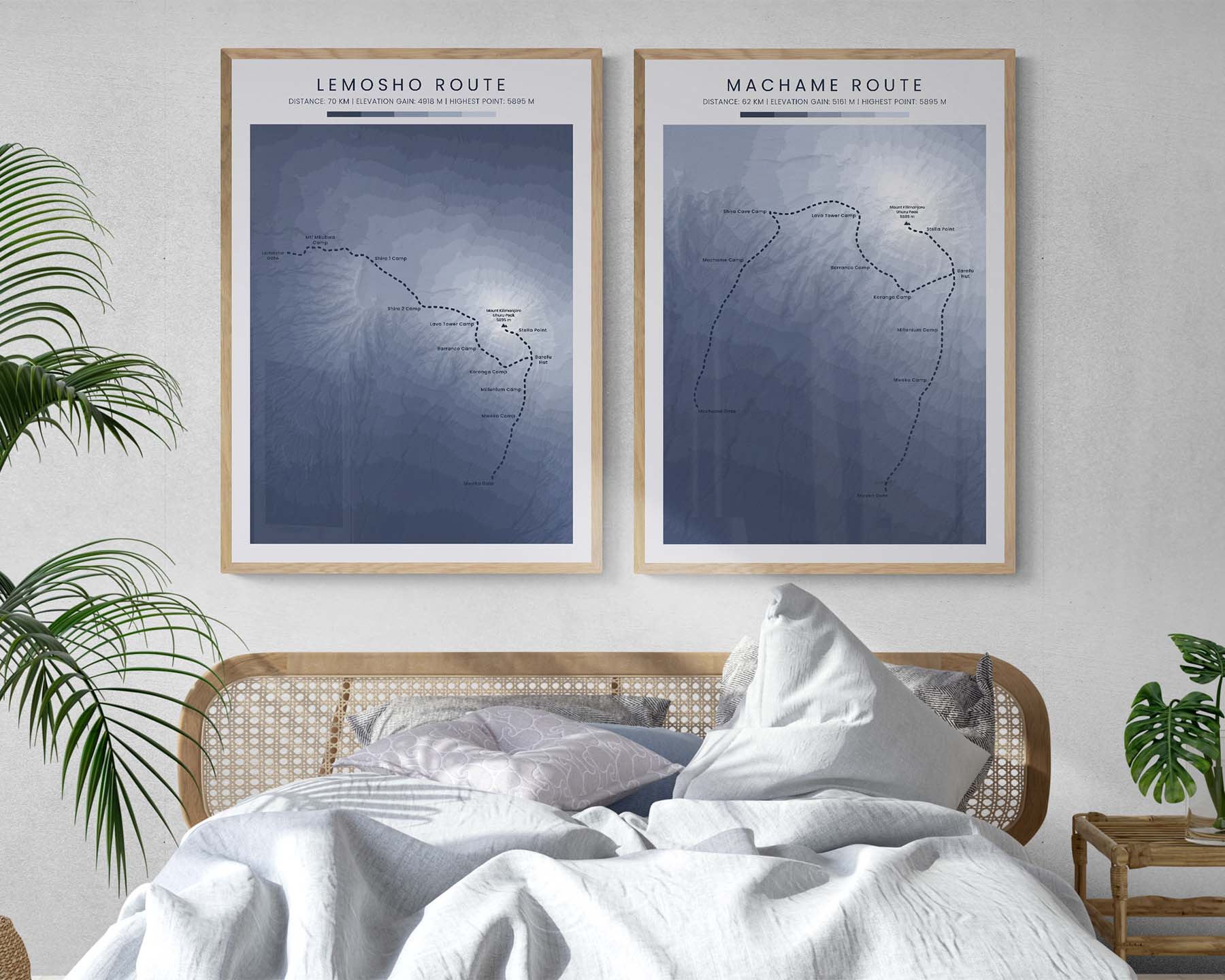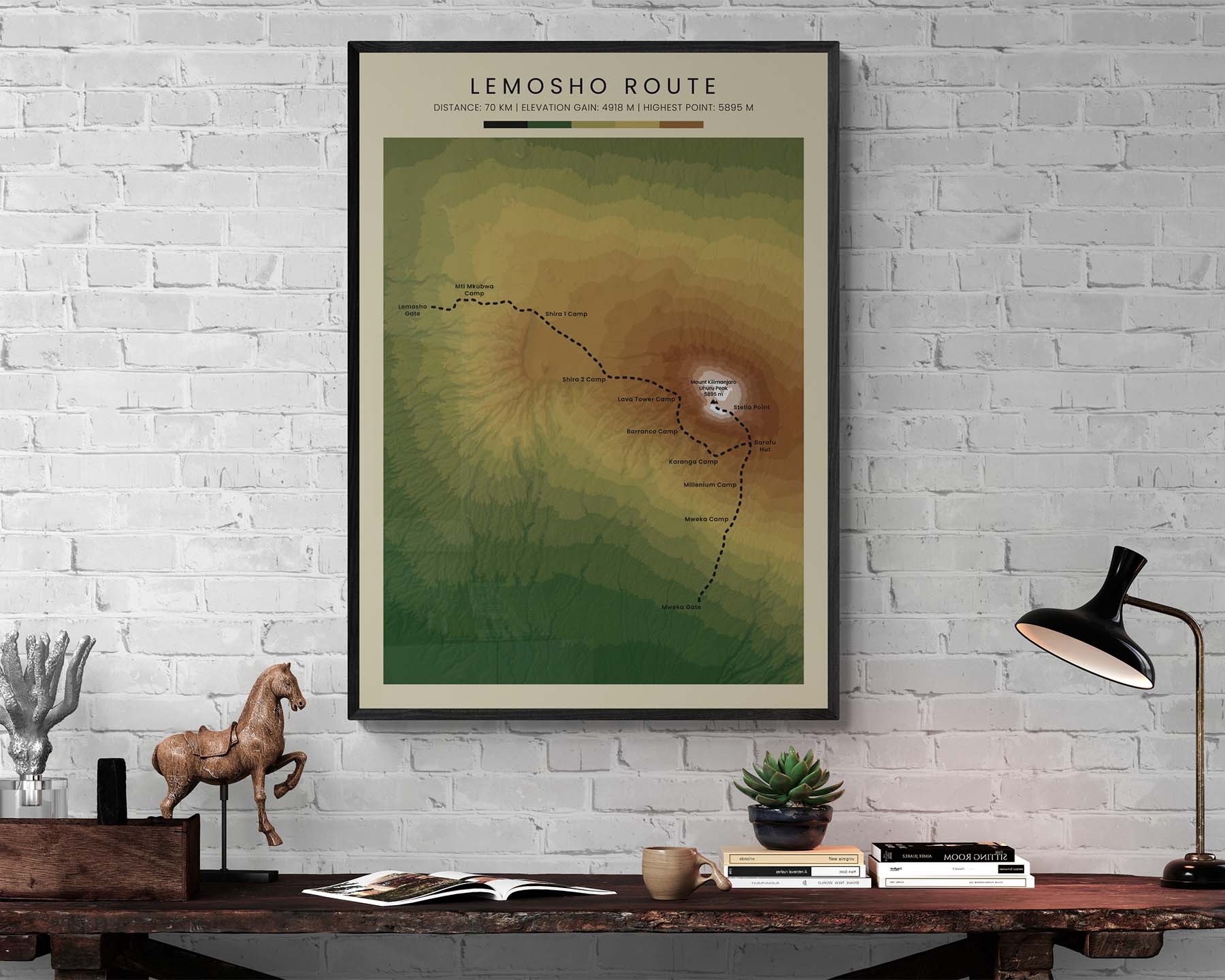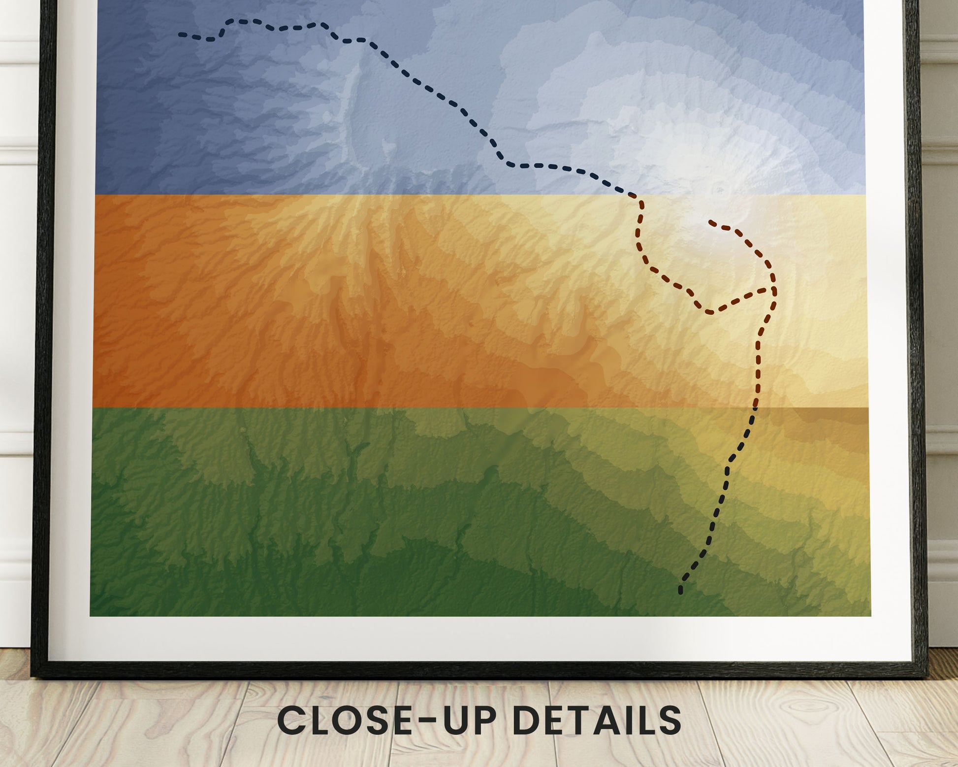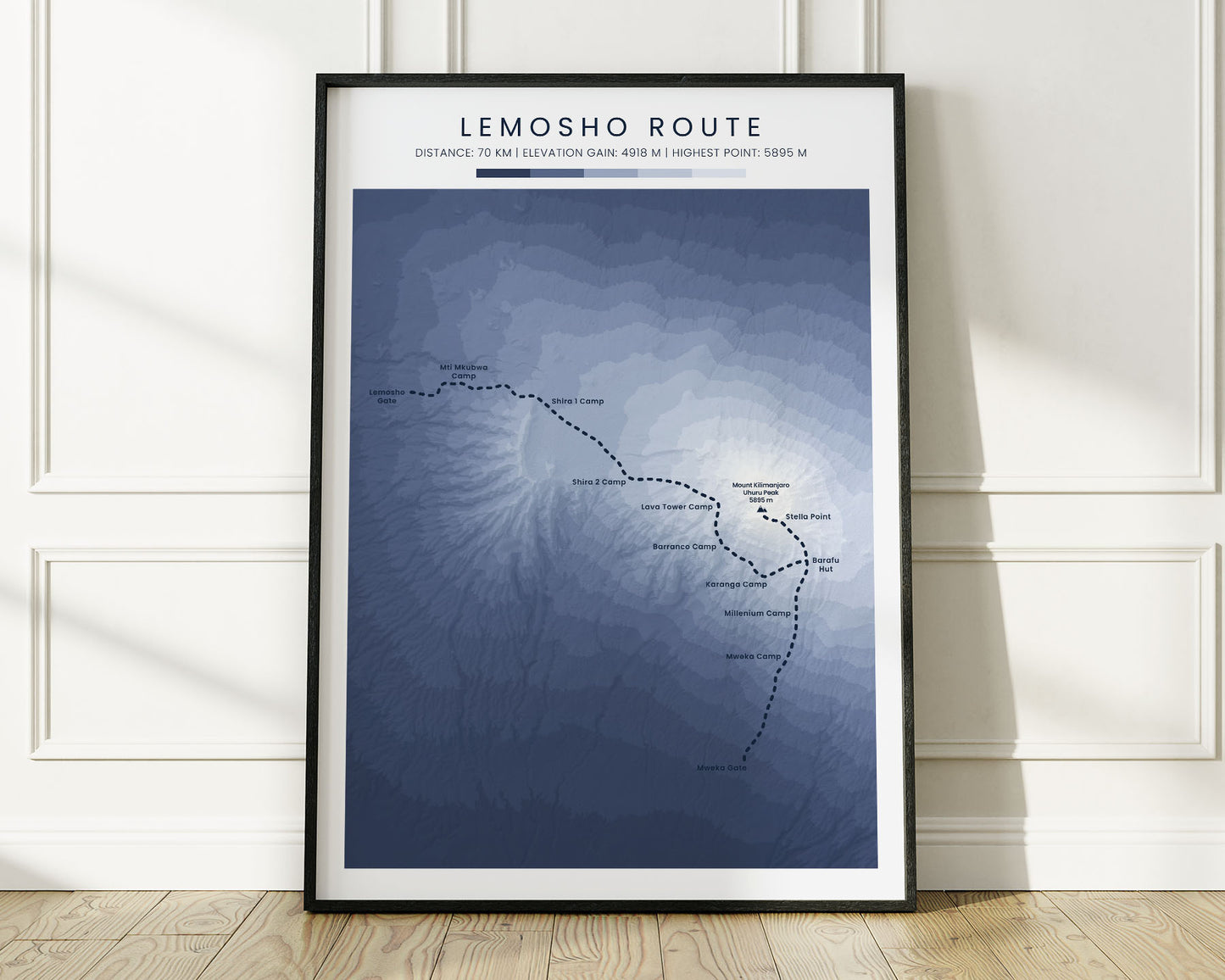
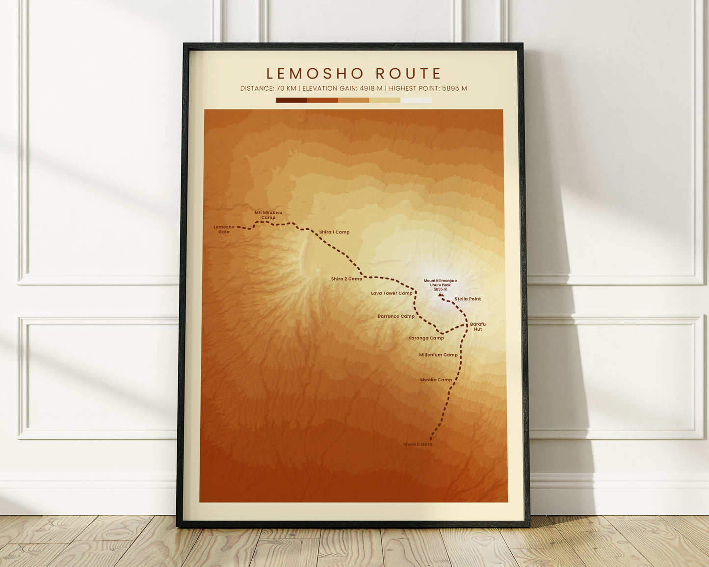
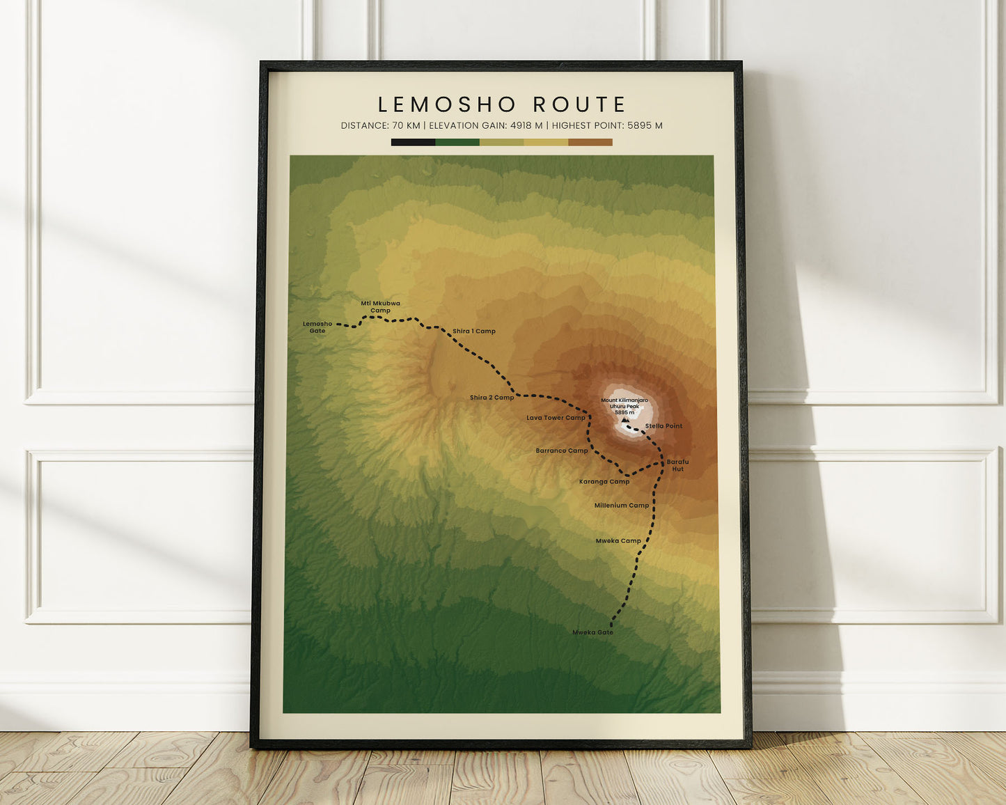
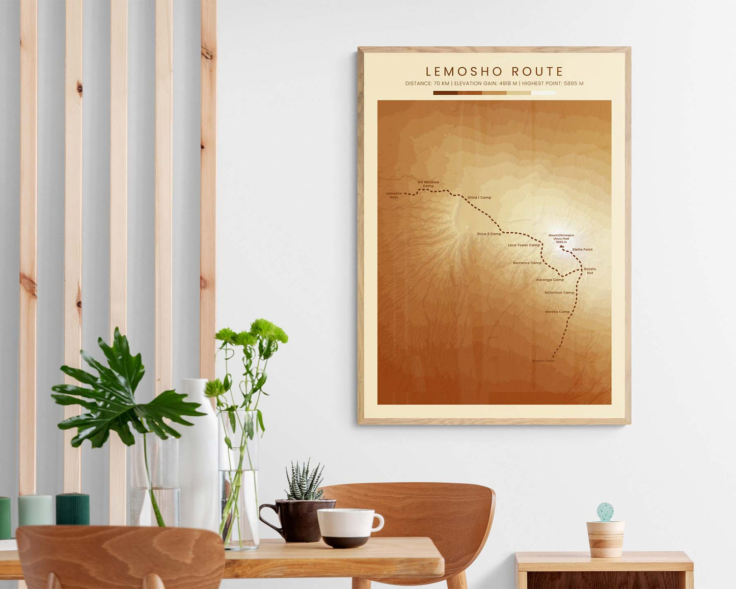
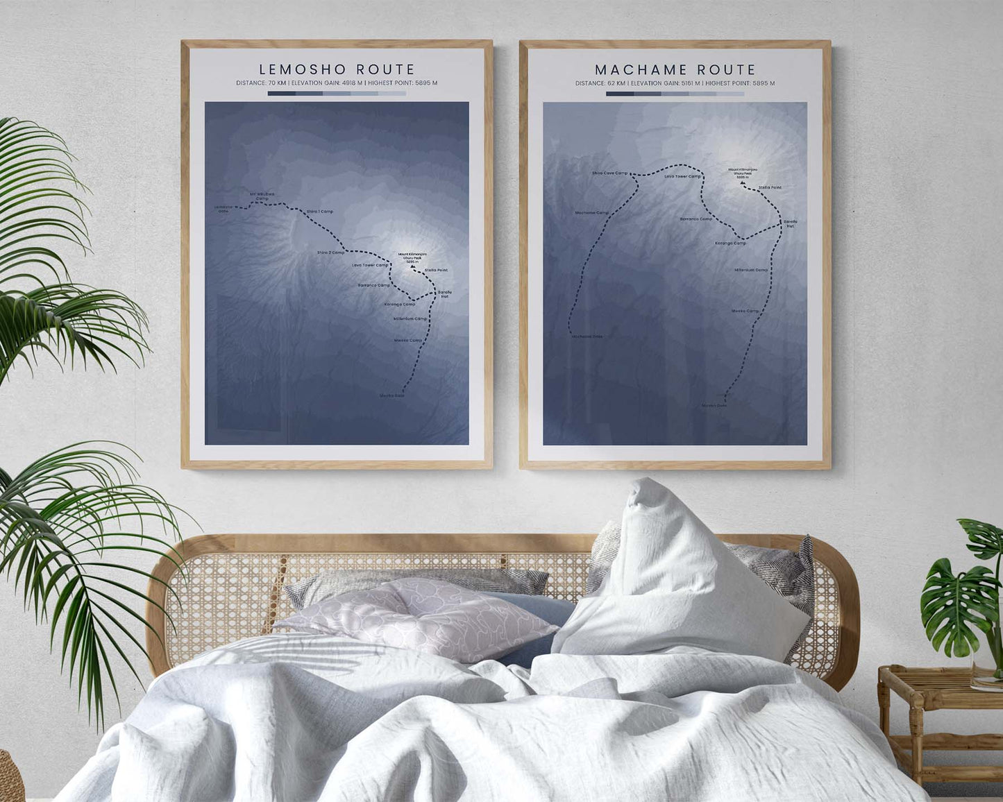
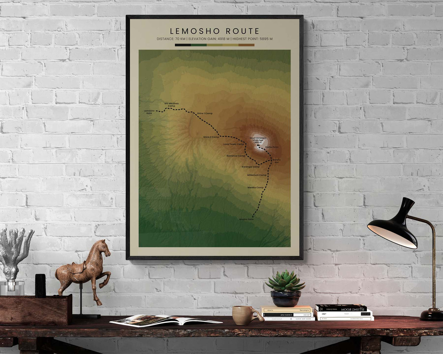
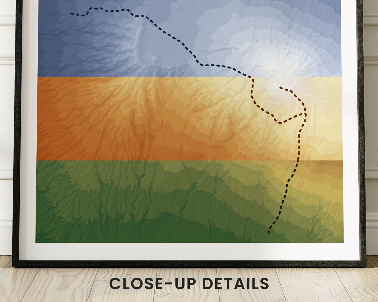

A poster that shows a topographic elevation map of the Lemosho Route. This contour map was made using Open Source NASA satellite data and then transformed into a beautiful print using software. It's offered in three color options - minimal blue, vintage orange, and realistic green - to fit most interior design styles. If you have a friend who has completed the Lemosho Route, then this wall art will be a great addition to their home.
About the Mount Kilimanjaro Lemosho Route
The Lemosho Route is the most popular trail that climbs up to Mount Kilimanjaro. It's located in Tanzania and is so special because Mount Kilimanjaro is the highest mountain peak in Africa. It's mostly climbed with the help of guides and sherpas, but even so, it's still a very difficult climb. In fact, roughly 20-30% of total hikers fail to reach the top due to altitude sickness and other issues.
Statistics About the Lemosho Route
- Start point: Lemosho Gate, Tanzania
- End point: Mweka Gate, Tanzania
- Total distance: 70 km / 42 miles
- Total altitude gain/loss: 4918 m / 16,135 ft
- Highest point: 5896 m / 19,341 ft (Uhuru Peak - Mount Kilimanjaro)
- Countries crossed: Tanzania
- Time to finish: Typically 6 to 9 days

