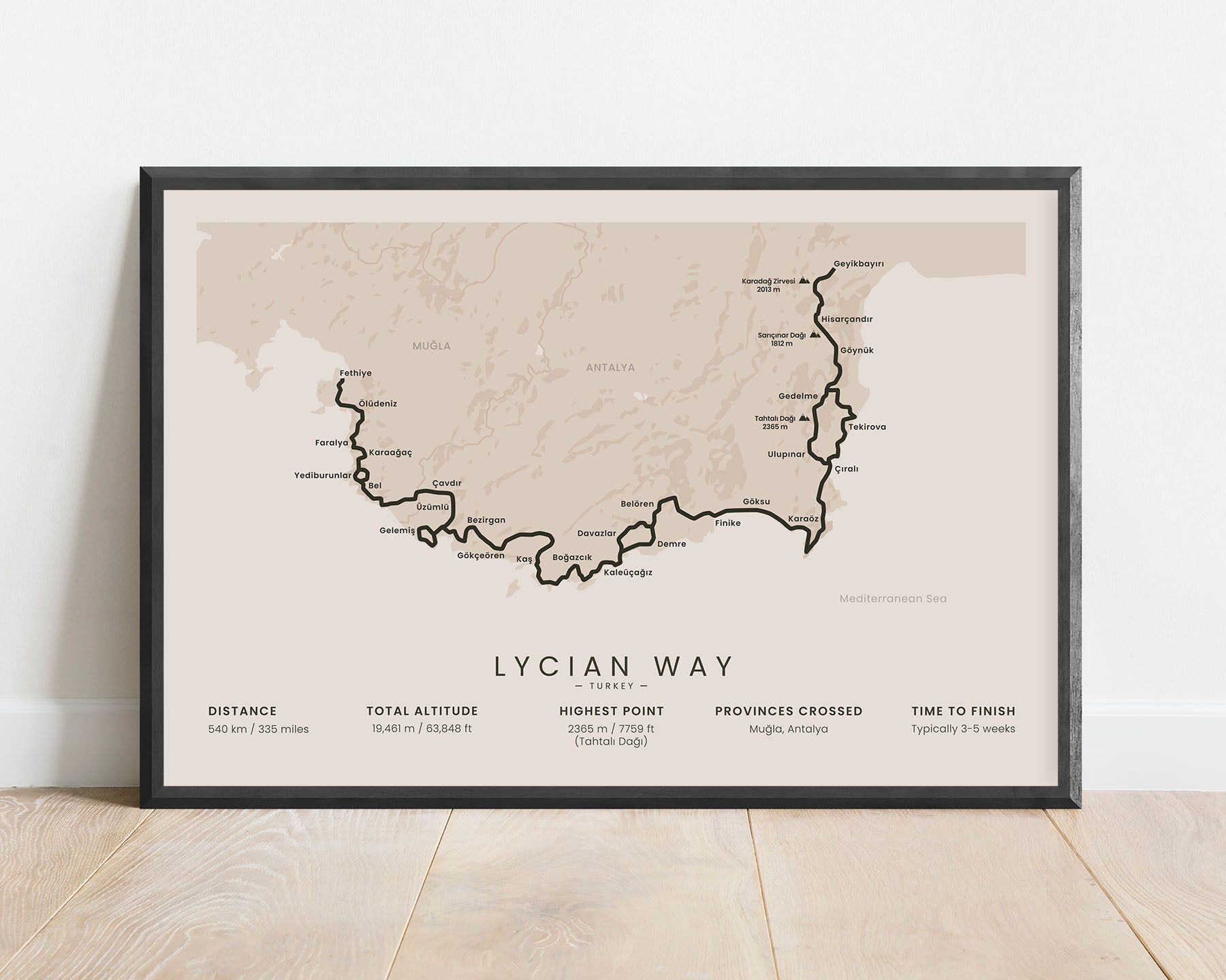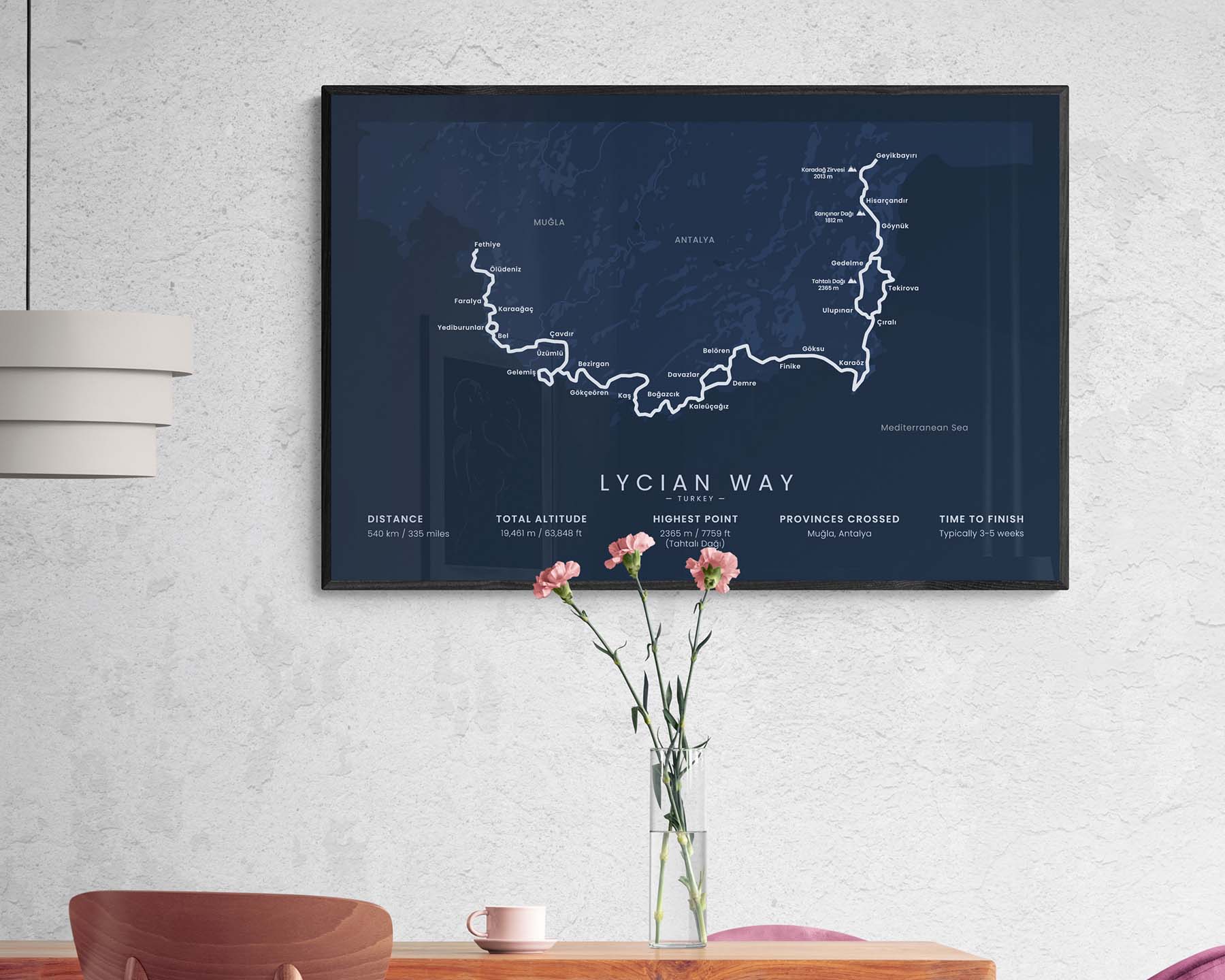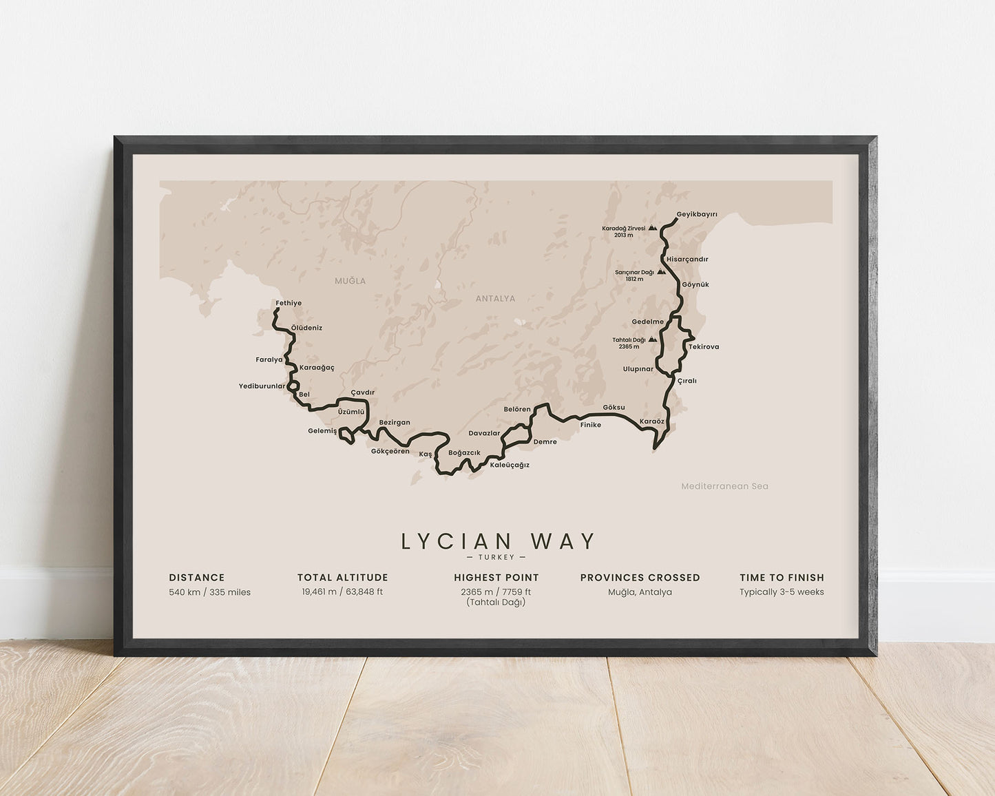
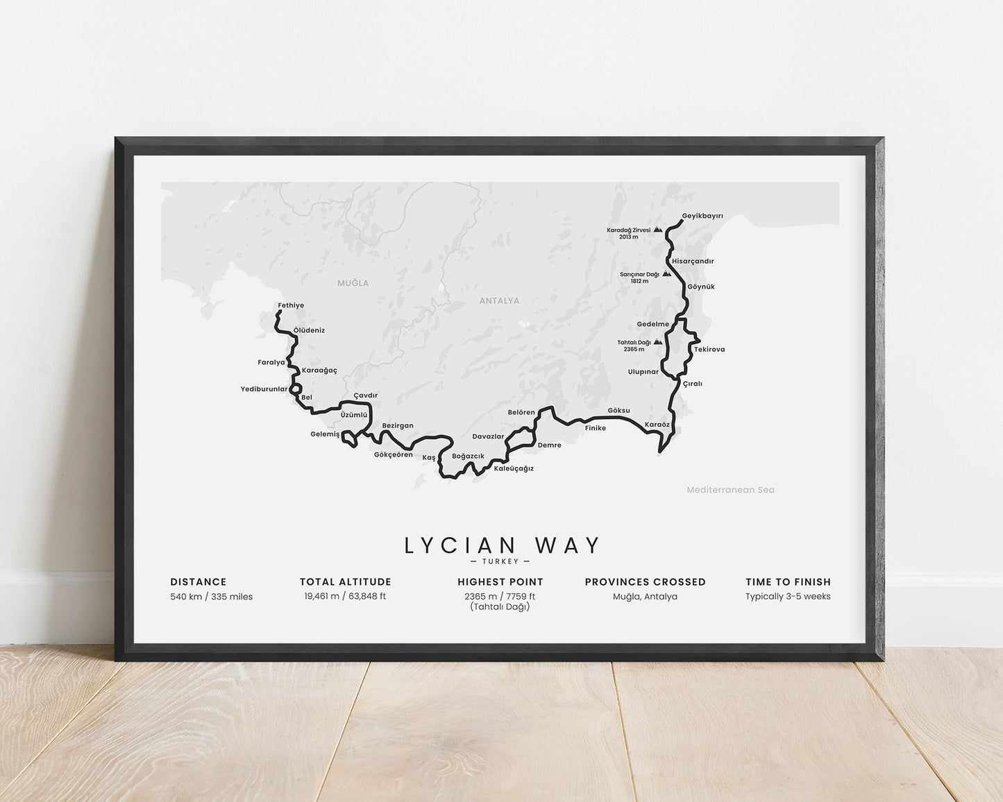
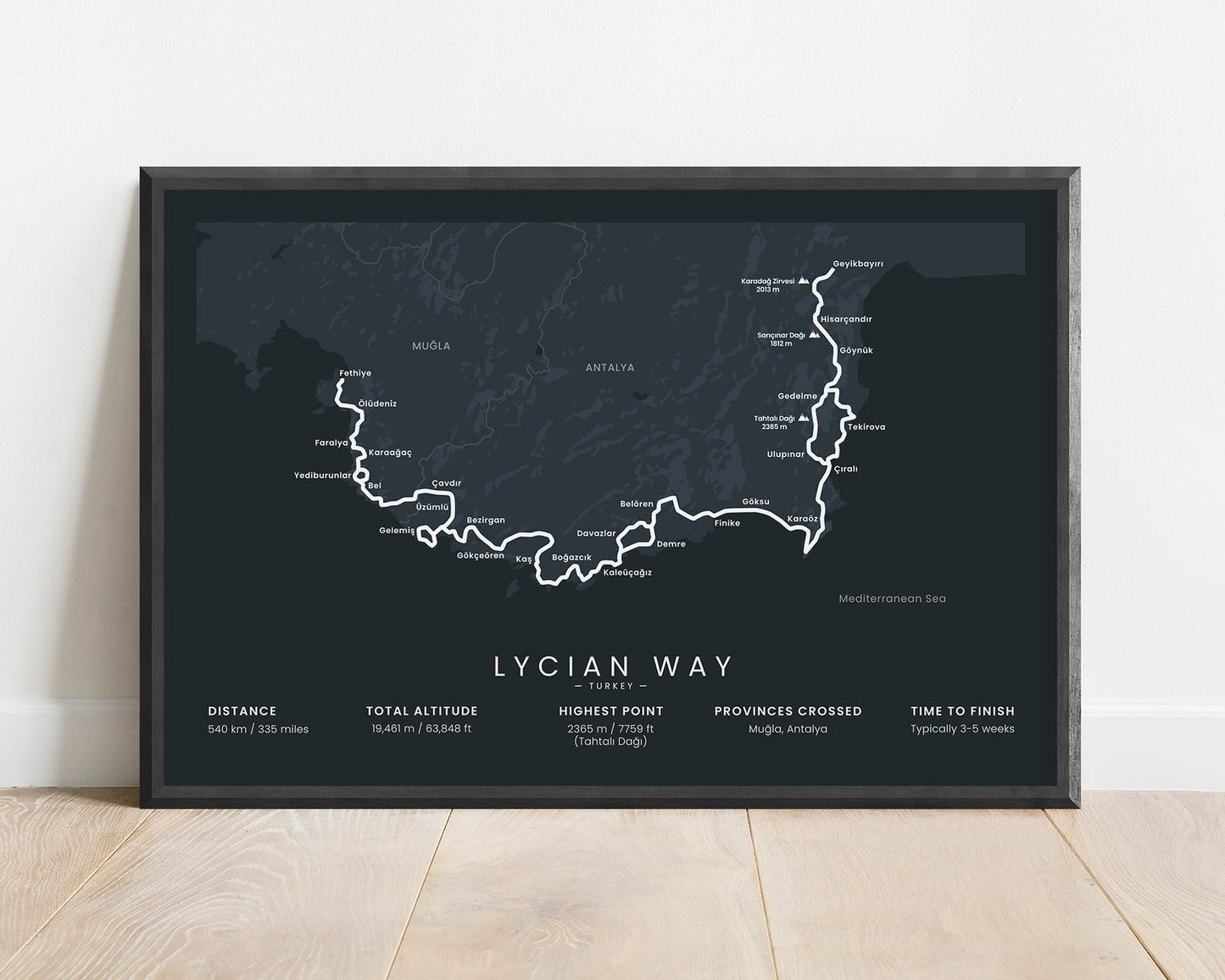
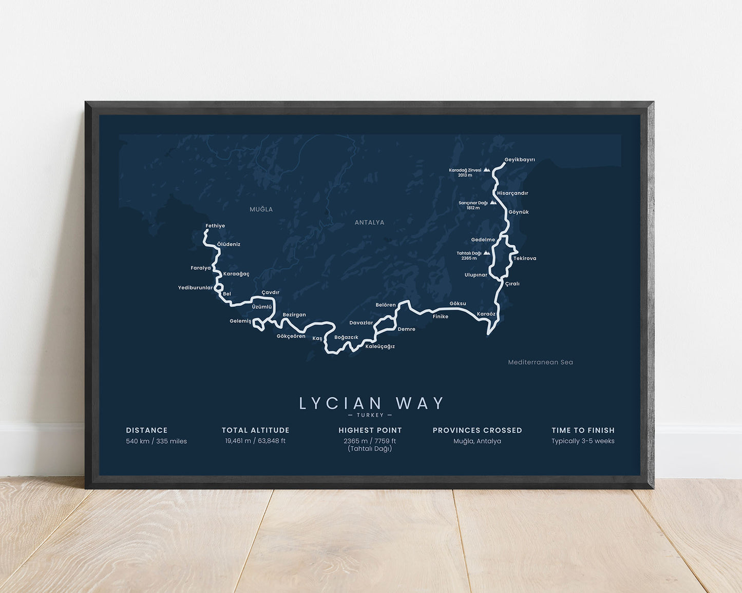
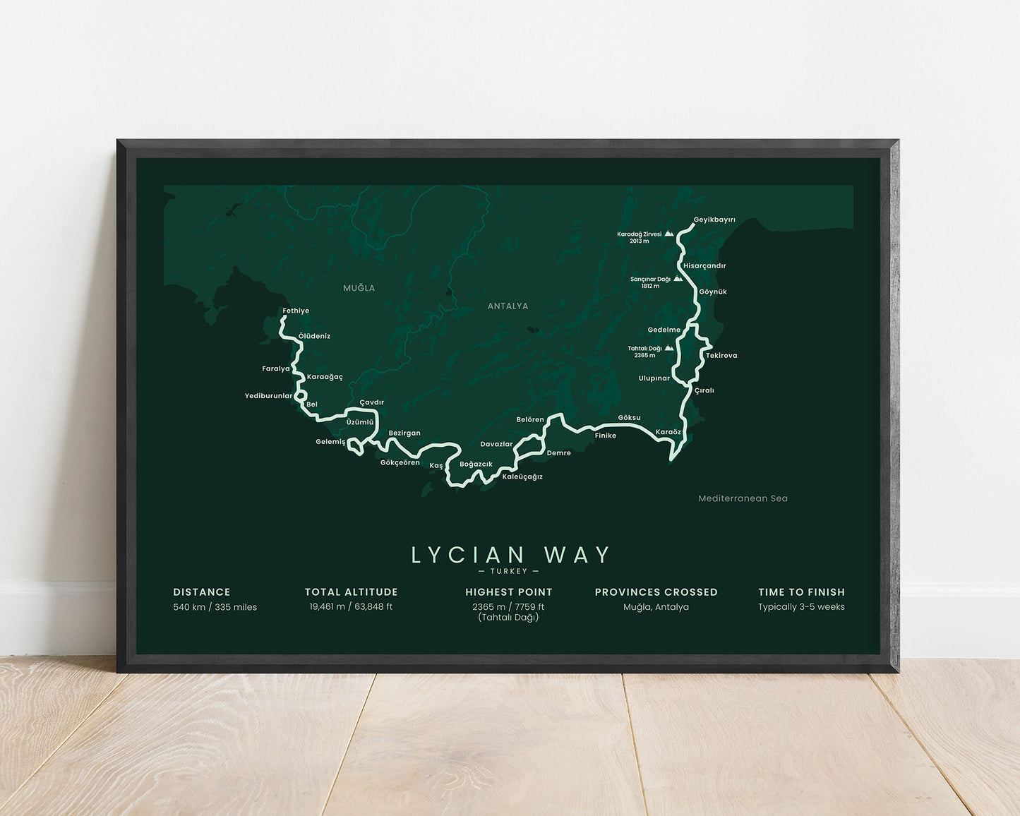

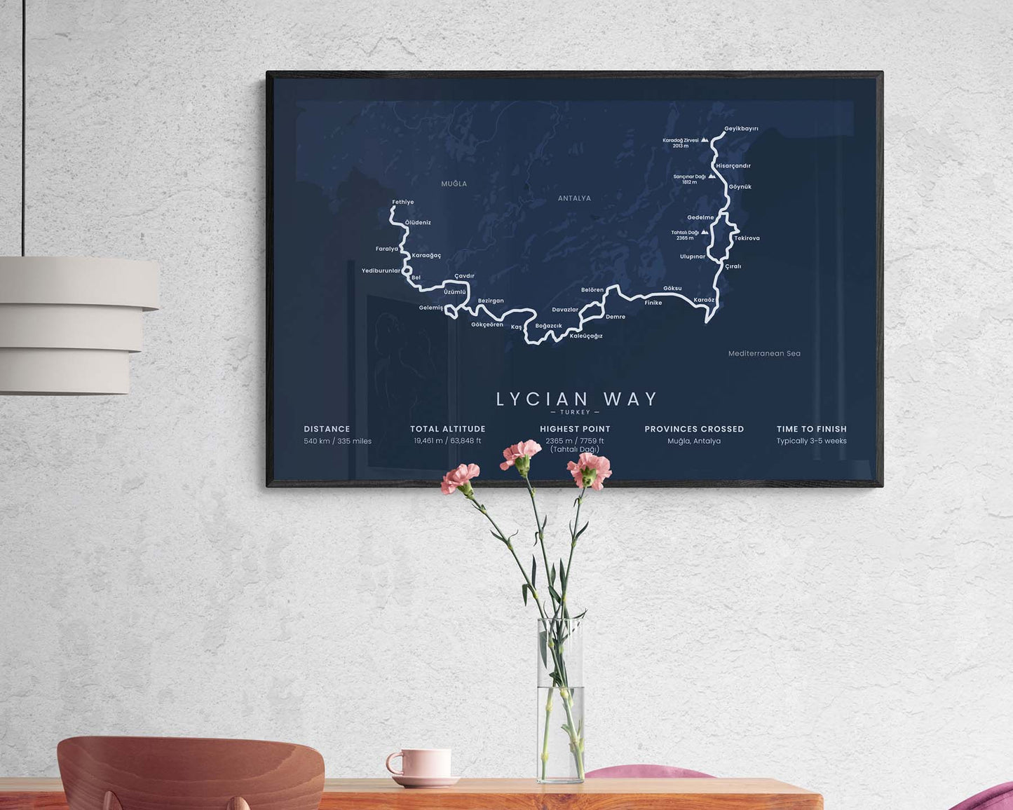

A poster that displays the map of the Lycian Way trail in Turkey. It shows the full map of the trail, a rough topographical overview of the area, the main cities in the vicinity, and the main statistics about the trail. It’s designed in a minimal style rather than a more typical map design to better fit into most modern interiors.
About the Lycian Way Hiking Trail
The Lycian Way (other called Likya Yolu) is a popular long-distance hiking trail in Turkey. It starts at Fethiye, then goes 540 km along the Mediterranean coastline of ancient Lycia, and finishes in Geyikbayiri. The Lycian Way finds its way through steep coastal cliffs, high nearby mountains, and rocky Mediterranean beaches. It's considered a fairly difficult hike because of high summer temperatures, difficult footpaths, and high total elevation gain.
Statistics About the Lycian Way
- Start point: Fethiye, South Turkey
- End point: Geyikbayiri, Antalya, South Turkey
- Total distance: 540 km / 335 miles
- Total altitude gain/loss: 19 461 m / 63 848 ft
- Highest point: 2365 m / 7759 ft (Tahtali Dagi)
- Time to finish: Typically 3-5 weeks
- Provinces crossed: Mugla, Antalya
- Best time to hike: March-May or September-November

