


A poster of the Machame Route to Mount Kilimanjaro in Tanzania, Africa. It shows the entire route and an elevation contour map of Mount Kilimanjaro. On the bottom, it also includes an elevation profile of this trek, along with a few key points of interest.
About the Machame Route
The Machame Route - often referred to as the "Whiskey Route" - is one of the most popular and scenic paths to the summit of Mount Kilimanjaro, Africa’s highest peak at Uhuru Peak, in Tanzania. Beginning at Machame Gate and descending via Mweka Gate, the route covers approximately 62 kilometers and is typically completed in 6 to 7 days, though longer itineraries are common to allow for better acclimatization. Known for its challenging terrain and excellent ‘climb high, sleep low’ profile, the Machame Route passes through diverse ecosystems, including rainforest, heath, alpine desert, and glaciated summit slopes. The trek is physically demanding due to steep ascents and high altitude, making proper acclimatization and experienced guides essential for a successful summit attempt.
Statistics About the Machame Trail
- Start point: Machame Gate, Mount Kilimanjaro Natural Park, Tanzania
- End point: Mweka Gate, Mount Kilimanjaro Natural Park, Tanzania
- Total distance: 62 km / 37 miles
- Total altitude gain/loss: 5161 m / 16,932 ft
- Highest point: 5896 m / 19,341 ft (Uhuru Peak - Mount Kilimanjaro)
- Countries crossed: Tanzania
-
Time to finish: Typically 6 to 7 days

High Quality Matte Prints
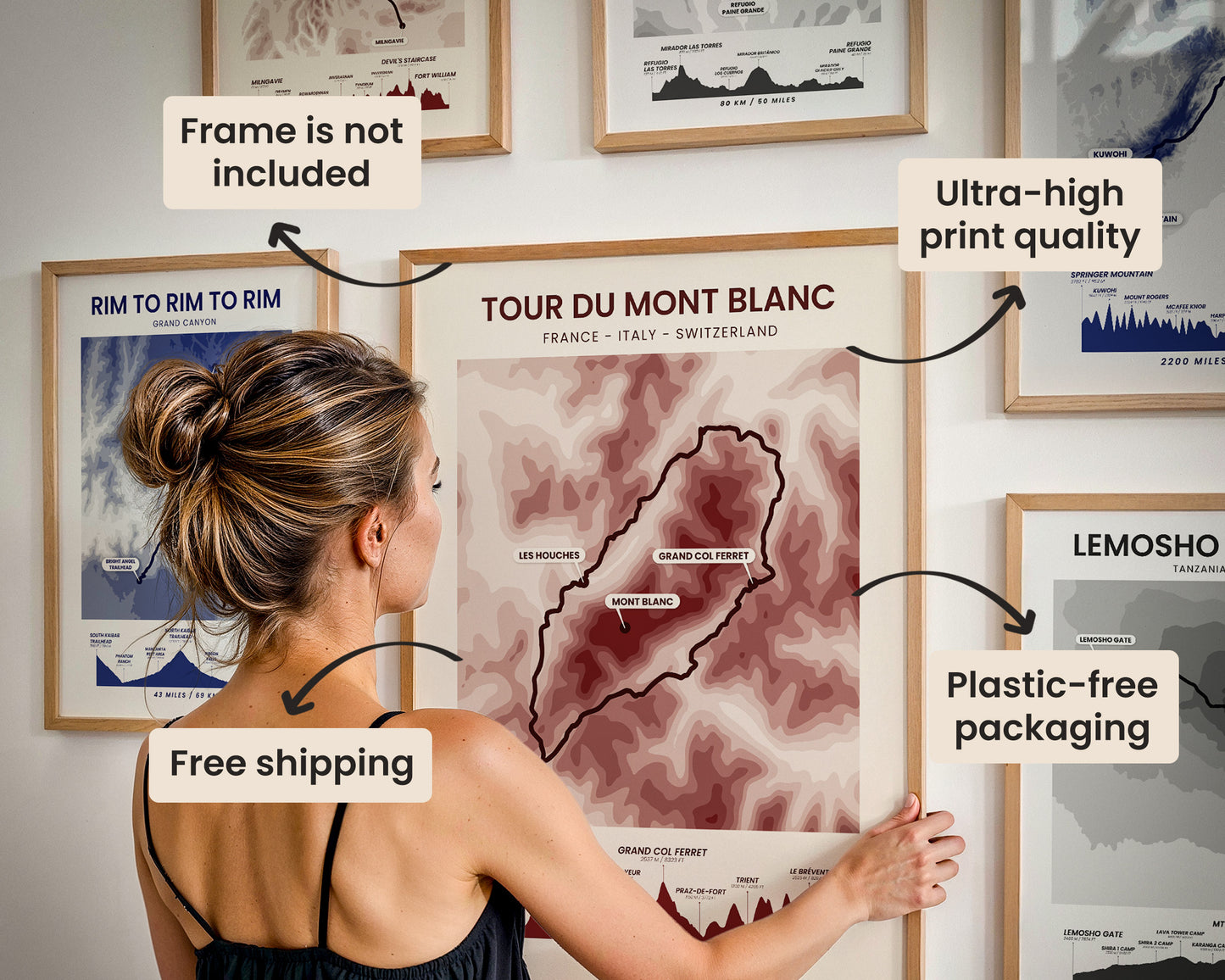
Our posters are manufactured using ultra high definition printers with very rich and vivid colors. They're printed on thick, 189 g/m² matte paper sourced from Japan.

Plastic-Free Packaging
Our prints are shipped in cardboard triangles instead of typical tubes. This is better for the enviroment, because no plastic is used in the packaging.

The Right Size & Color for You
Our sizes are offered in imperical and metrical measurements, so it's easier for you to find the right frame locally.

Free Shipping With 2+ Posters
Save money by adding another poster to your cart (maybe as a gift for one of your friends or close relative), and get free shipping, even on international orders.

No Import Fees*
We have fulfillment locations in the United States, Canada, the United Kingdom, Spain, and Latvia. They're always manufactured from the closest one to your shipping address, so you can avoid paying import tax, get quicker deliveries, and reduce your carbon footprint.

30-day Satisfaction Guarantee
If, for whatever reason, you change your mind, we accept returns within 30 days of the delivery date.