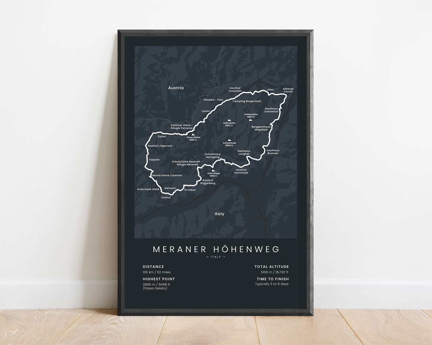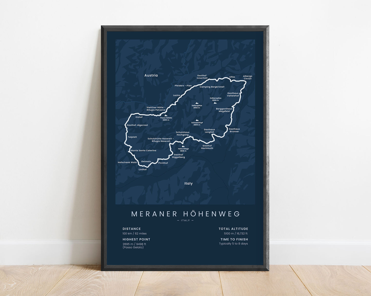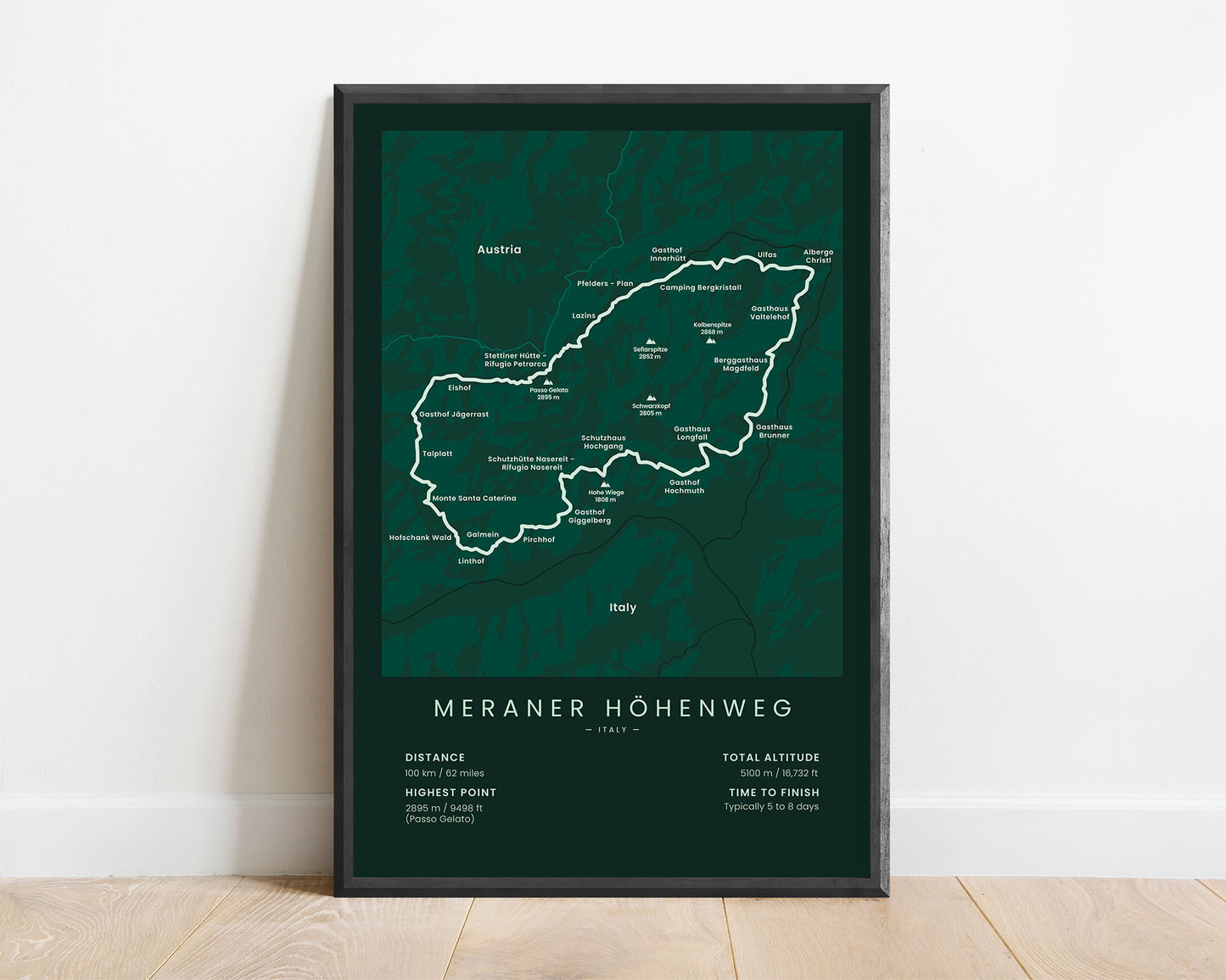


A minimalistic poster of the Meraner Höhenweg (Alta via di Merano in Italian) hiking trail. At the bottom of the map, you’ll find key statistics about the trail, like the total distance, altitude, highest point, and more. It’s offered in various different minimalistic color options to look good in most interiors.
About The Meraner Höhenweg (Alta via di Merano)
The Meraner Höhenweg (Alta via di Merano in Italian) is a long-distance hiking trail that goes around the Parco Naturale Gruppo di Tessa mountain range. It's often referred to as one of the most beautiful hiking trails in the Italian Alps. It involves high mountain passes and a few technically difficult parts of the trail. The Meraner Höhenweg can be started from a lot of points, but most people choose to start from Meraner due to the availability of transport to trail starting points.
Statistics About the Meraner Höhenweg
- Total distance: 100 km / 62 miles
- Total altitude gain/loss: 5100 m / 16 732 ft
- Highest point: 2895 m / 9498 ft (Passo Gelato)
- Countries crossed: Italy
- Points of interest: Alps, Dolomites, Parco Naturale Gruppo di Tessa, Merano
- Time to finish: Typically 5 to 8 days


