


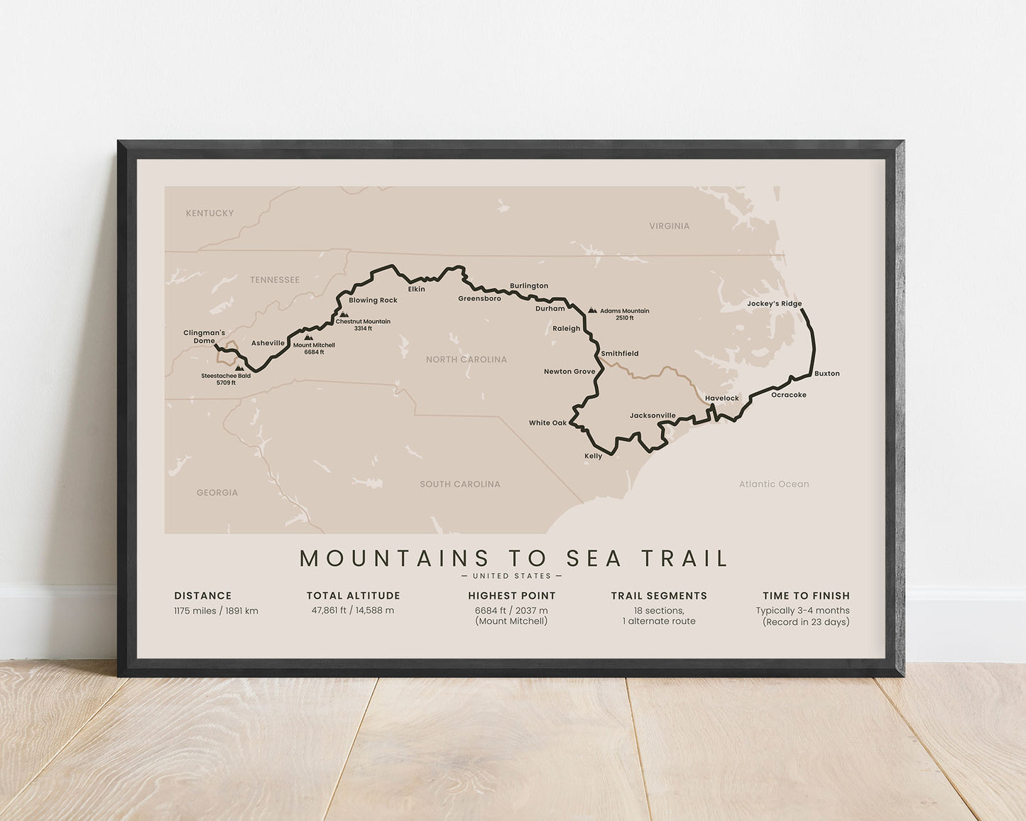
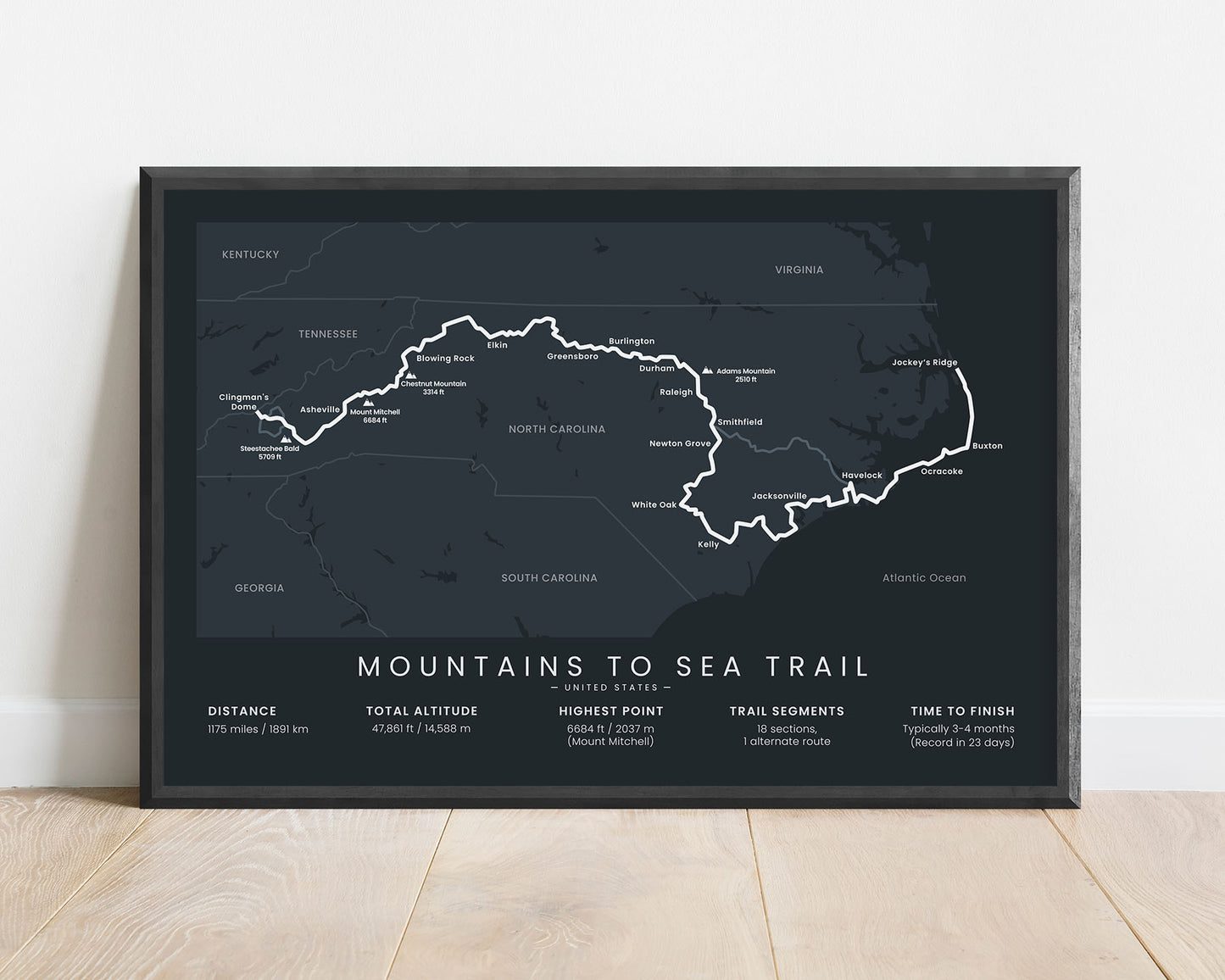
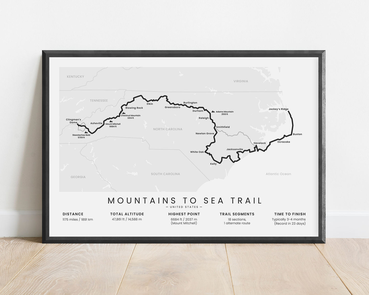
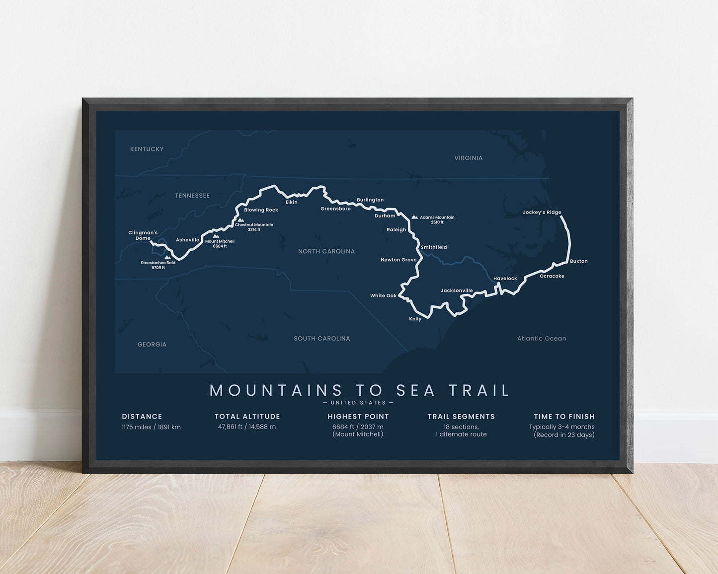
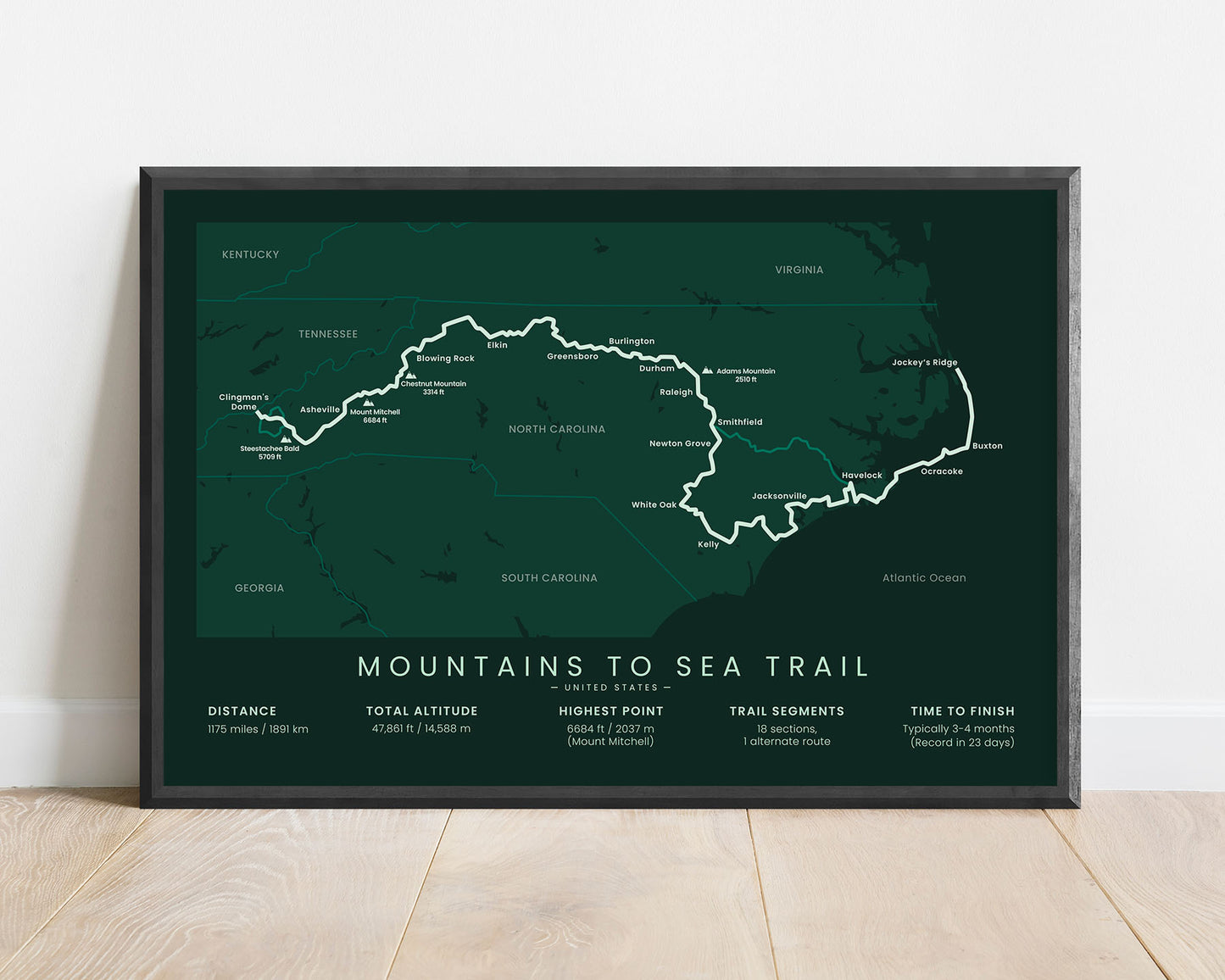


A print that shows the map of the Mountains to Sea Trail in North Carolina. It includes the entire route of the trail, main mountain peaks and cities along the way, side trails, the total distance of the trail, total altitude, highest point, and other important statistics. It’s sold in multiple different minimal color options, to fit into most modern, minimal, and Scandinavian interiors.
About the Mountains to Sea Trail
The Mountains to Sea Trail (MST) is a thru hike that crosses the state of North Carolina from west to east. It starts at Clingman's Dome, on the North Carolina / Tennessee state border, then goes 1175 miles through North Carolina, and finally ends at Jockey's Ridge, Atlantic Ocean. It's a very diverse thru-hike, that starts at the Great Smokey Mountains in the Eastern United States and ends at the Ocean. In the middle, it traverses through countless different regions - pine tree and hardwood forests, pastures, hilly areas, multiple lakes and rivers, old towns with rich culture, and the coastal area. Although the full trail hasn't been finished yet, most of it is traversable by foot or bike.
Statistics About the Mountains to Sea Trail
- Total distance: 1175 miles / 1891 km
- Total altitude gain/loss: 47 861 ft / 14 588 m
- Highest point: 6684 ft / 2037 m (Mount Mitchell)
- Time to finish: Typically 3-4 months
- Points of Interest: Clingman's Dome, Great Smokey Mountains National Park, Pisgah National Forest, Grandfather Mountain State Park, Stone Mountain State Park, Pilot Mountain State Park, Hanging Rock State Park, Jockey's Ridge State Park
- Country: United States (North Carolina)
- Best time to hike: May - October