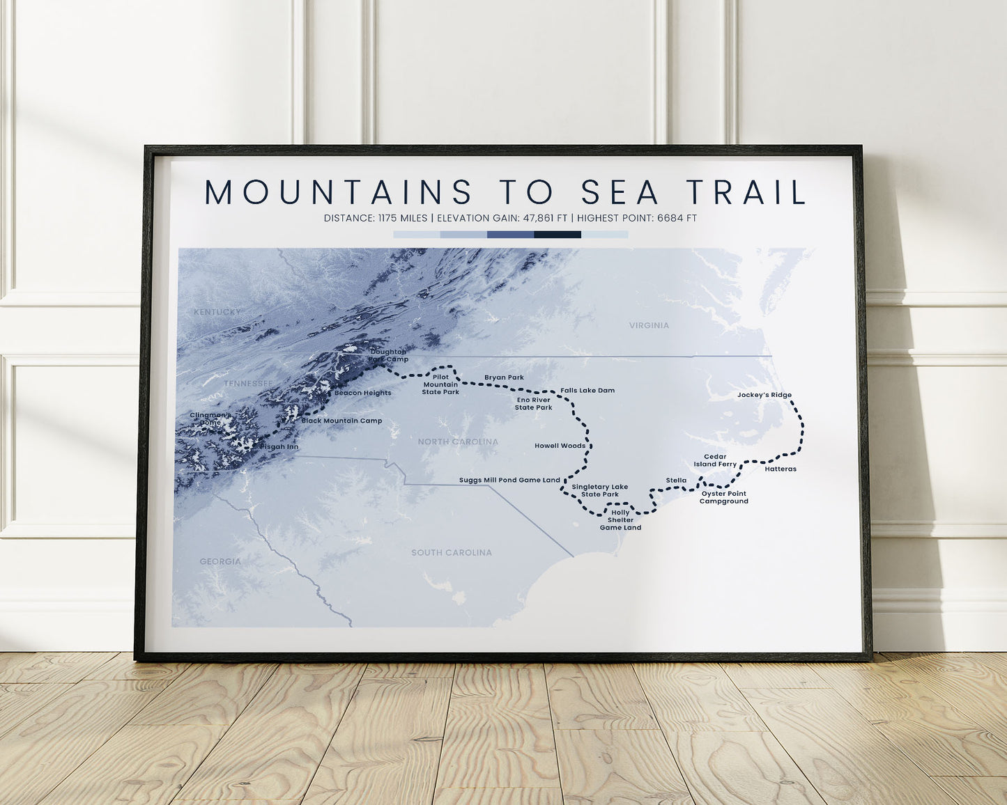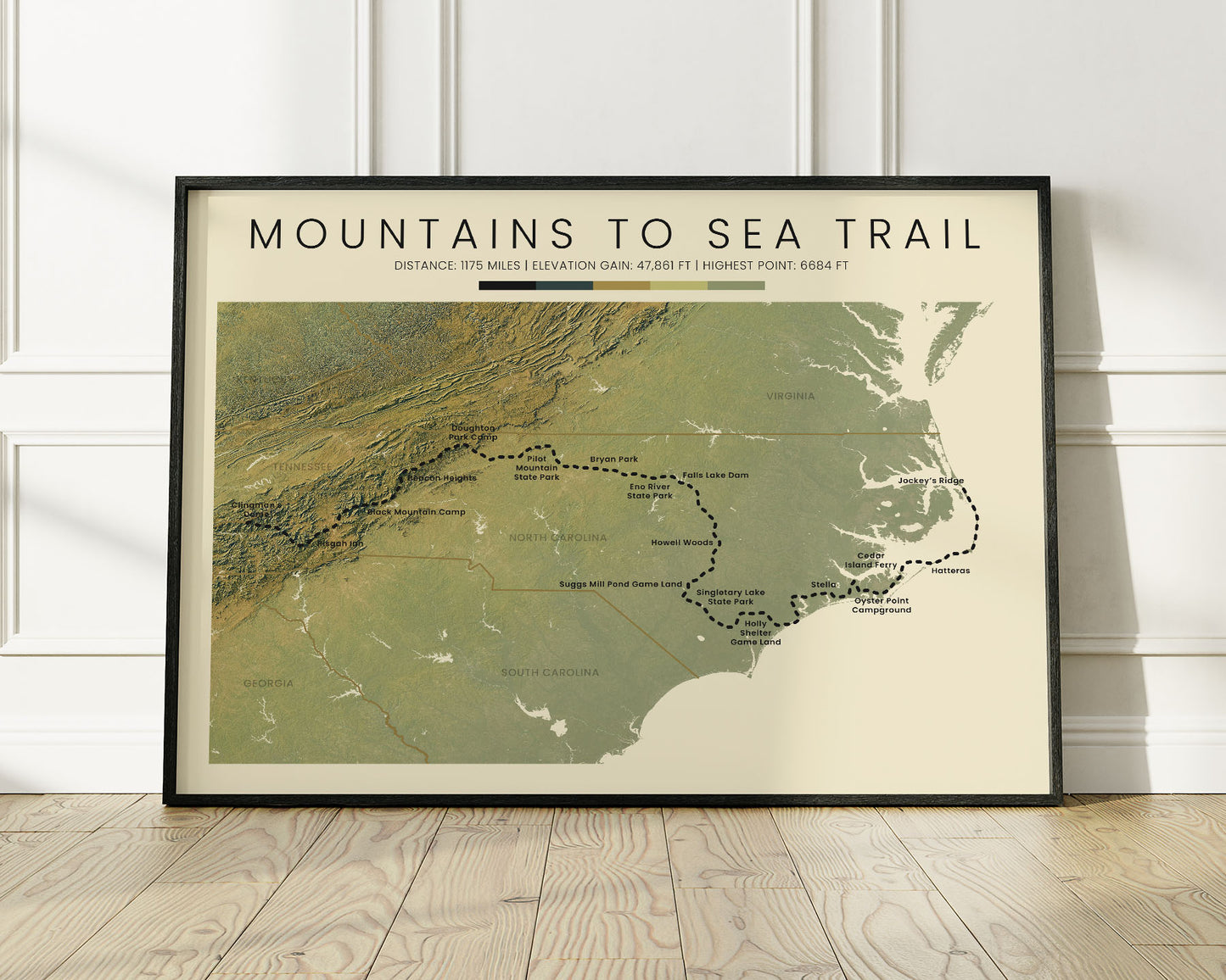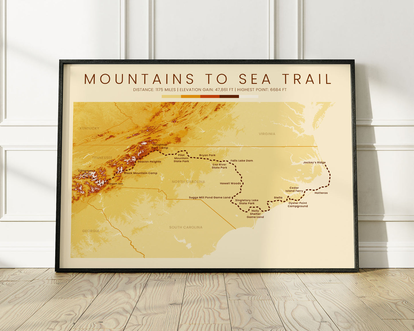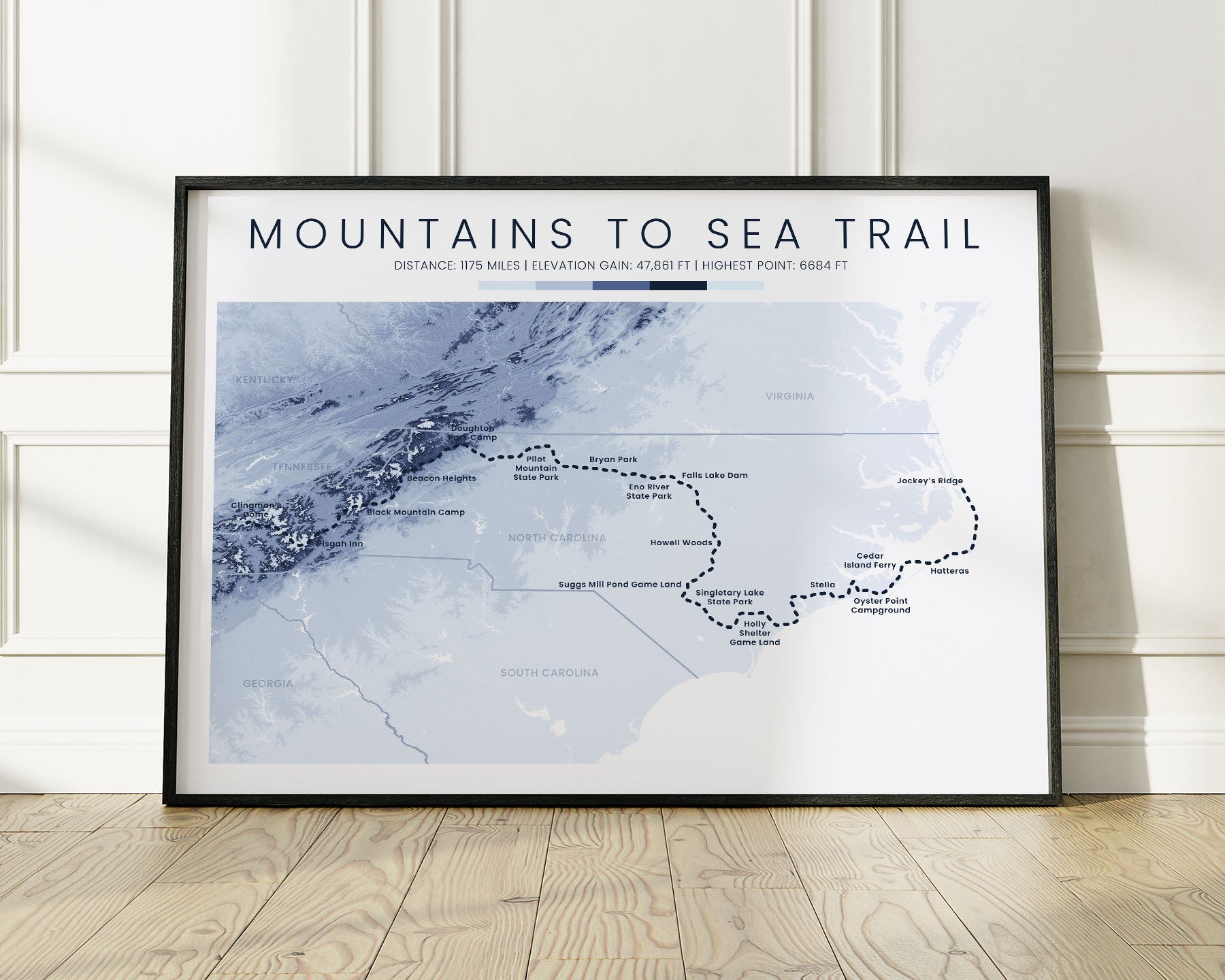


A poster that displays a topographic map of the Mountains to Sea Trail. It's offered in three colors - minimal blue, vintage orange, and realistic green, to fit into any interior, whether it's modern, minimalistic, or cozy. We've made it using open source data from NASA and other international agencies and turned it into unique wall art using complicated software.
About the Mountains to Sea Trail
The Mountains to Sea Trail (MST) is a popular thru-hiking trail in North Carolina, United States. Starting at Clingman's Dome, Tennessee, it goes through the Great Smokey Mountains and ends at the Atlantic Ocean, Jockey's Ridge. Many people choose to complete it because it isn't as long as either of the Tripple Crown thru-hikes (PCT, AT, and CDT), yet is still very long and goes through diverse landscapes.
Statistics About the Mountains to Sea Trail
- Start point: Clingman's Dome, Tennessee
- End point: Jockey's Ridge, North Carolina
- Total distance: 1175 miles / 1891 km
- Total altitude gain/loss: 47 861 ft / 14 588 m
- Highest point: 6684 ft / 2037 m (Mount Mitchell)
- Countries crossed: United States
- States Crossed: North Carolina
- Time to finish: Typically 3-4 months


