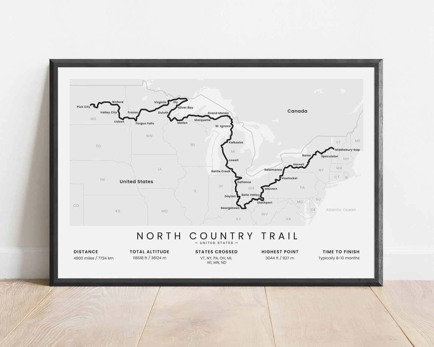
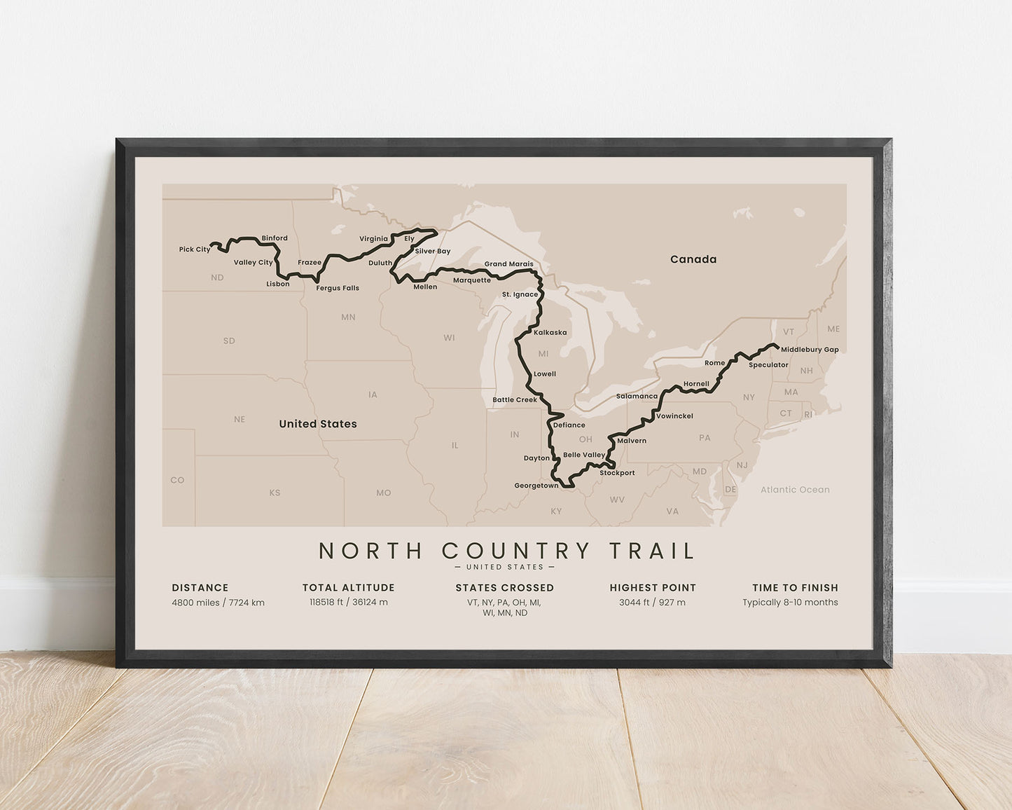
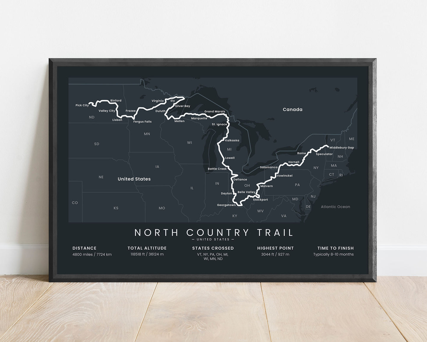
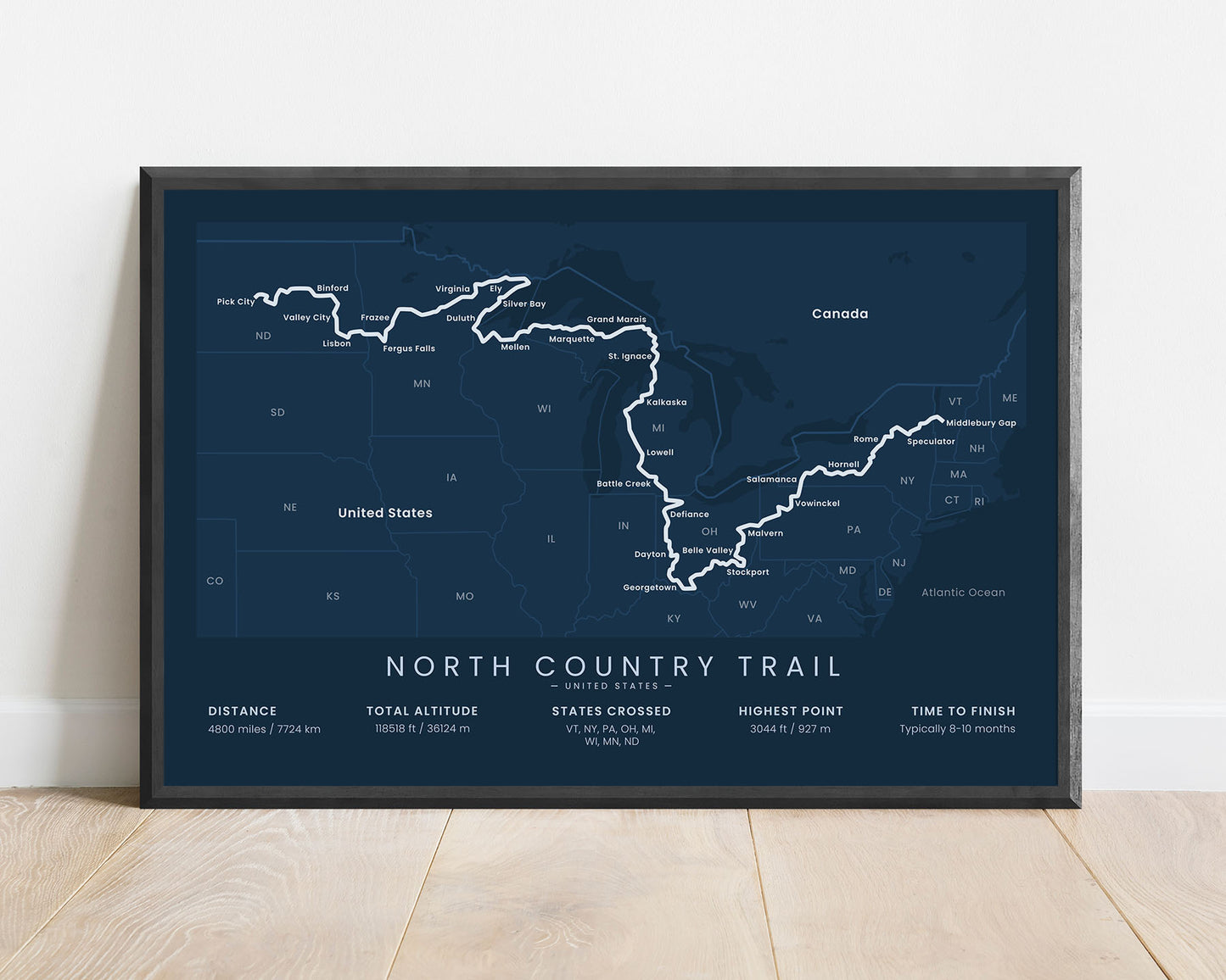
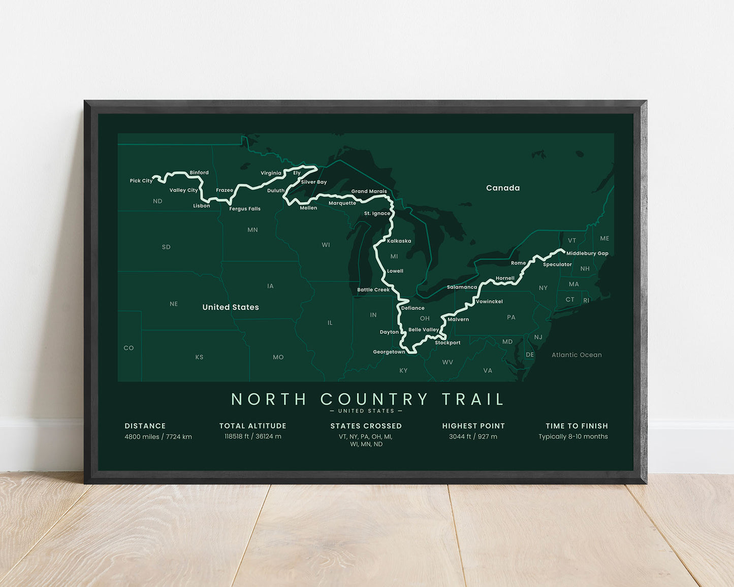
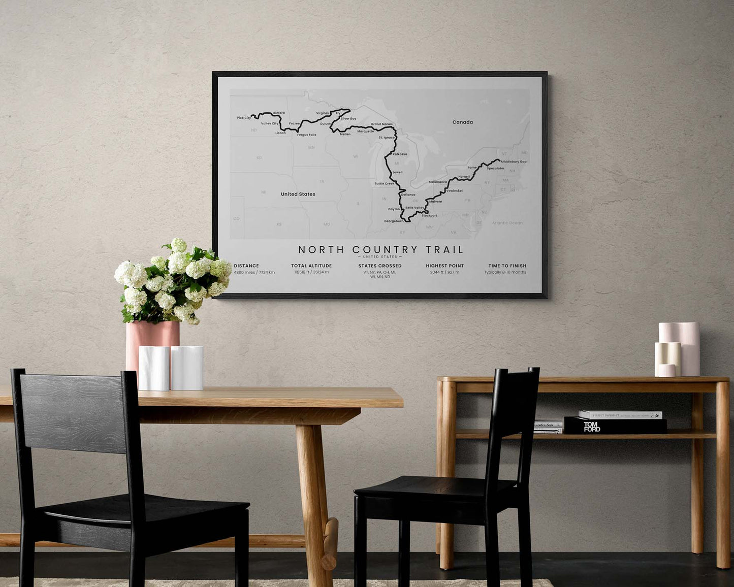


A poster that displays the map of the entire North Country Trail thru hike. It shows the full route of the trail, all the states it crosses, the main cities along the way, and important statistics about the trail, like the total distance, elevation gain, and more. It’s made in a minimal style, is offered in five different color and size options, and will fit into most modern, minimal, and Scandinavian interiors.
About the North Country National Scenic Trail
The North Country National Scenic Trail (NCT) is one of the longest thru hikes in the United States, estimated to be roughly 4800 miles long. It starts in Middlebury, Vermont, then stretches through 8 states along the Canadian border, and finishes in Lake Sakakawea State Park, North Dakota. The NCT is also the longest of the National Scenic Trails, and it was awarded the National Scenic title because of its diverse landscape. While walking the trail, you'll pass countless lakes, rivers, lush forests, and rich wildlife.
Statistics About the North Country Trail
- Start point: Middlebury, Vermont, USA
- End Point: Lake Sakakawea State Park, North Dakota, USA
- Total distance: 4800 miles / 7724 km
- Total altitude gain/loss: 118 518 ft / 36 124 m
- Highest point: 3044 ft / 927 m
- Time to finish: Usually 8-10 months
- States crossed: Vermont, New York, Pennsylvania, Ohio, Michigan, Wisconsin, Minnesota, North Dakota
- Best time to hike: April - October


