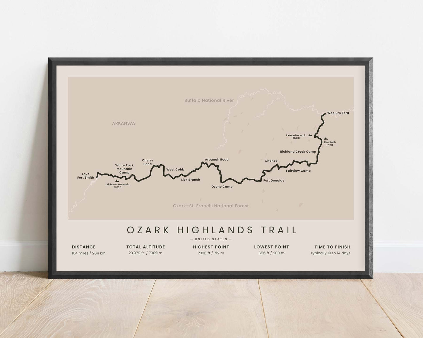
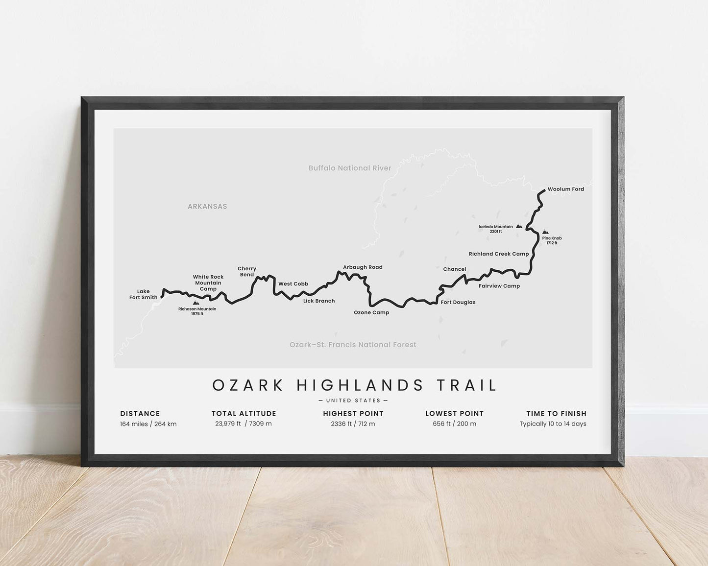
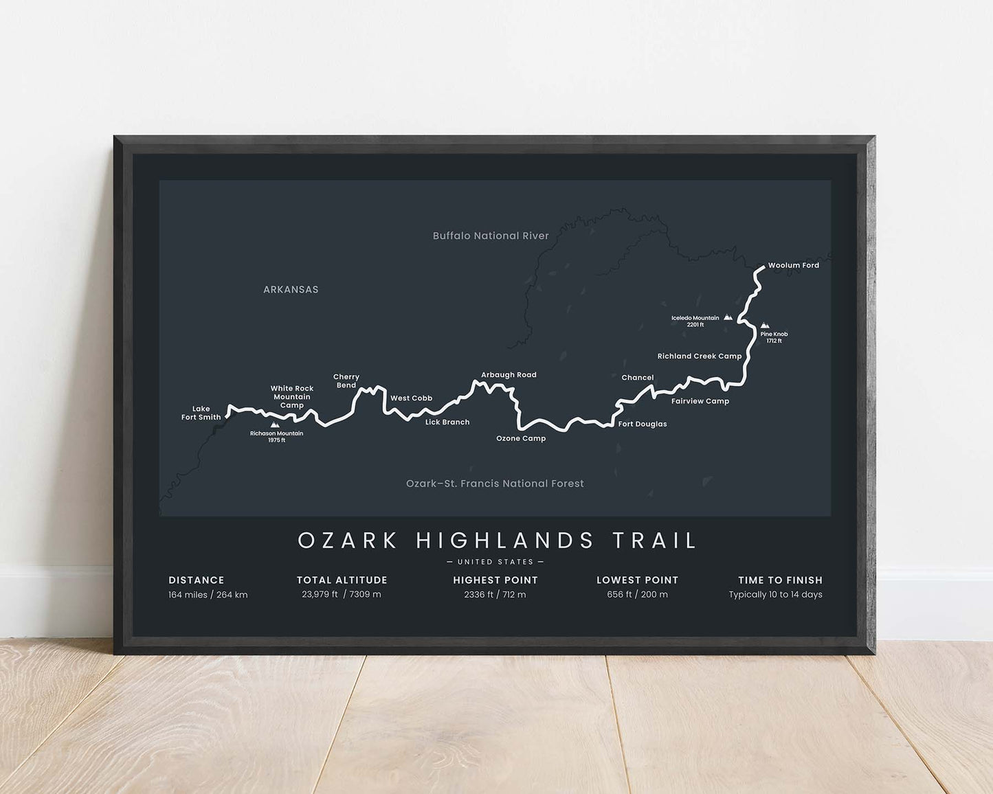
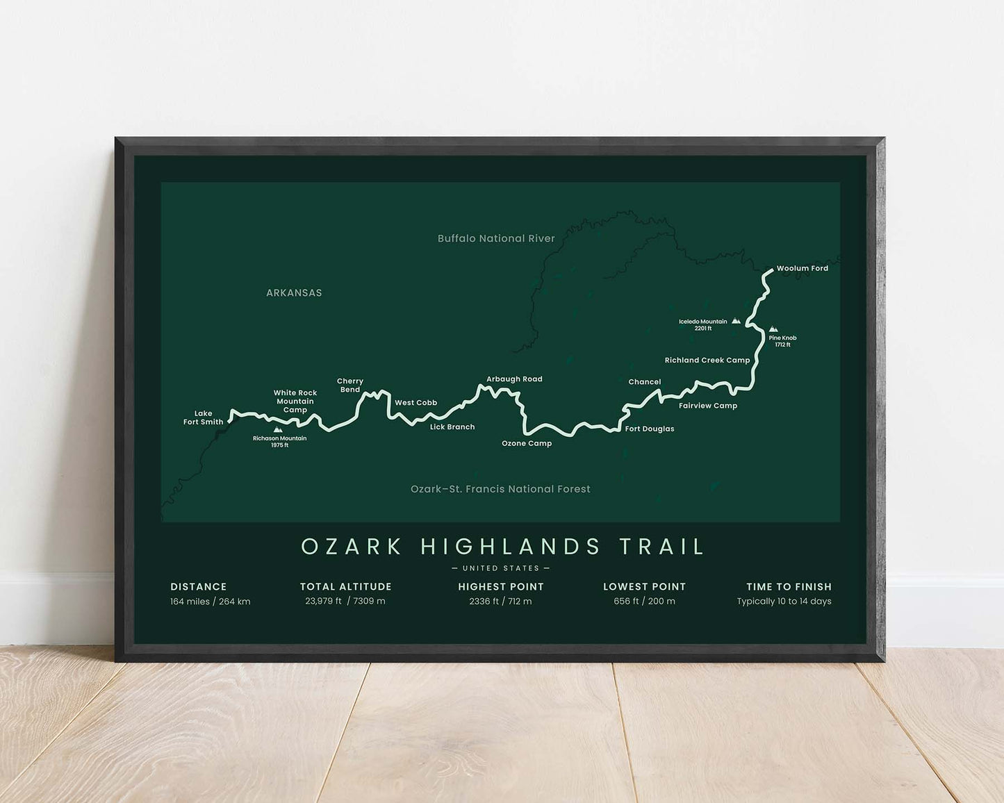
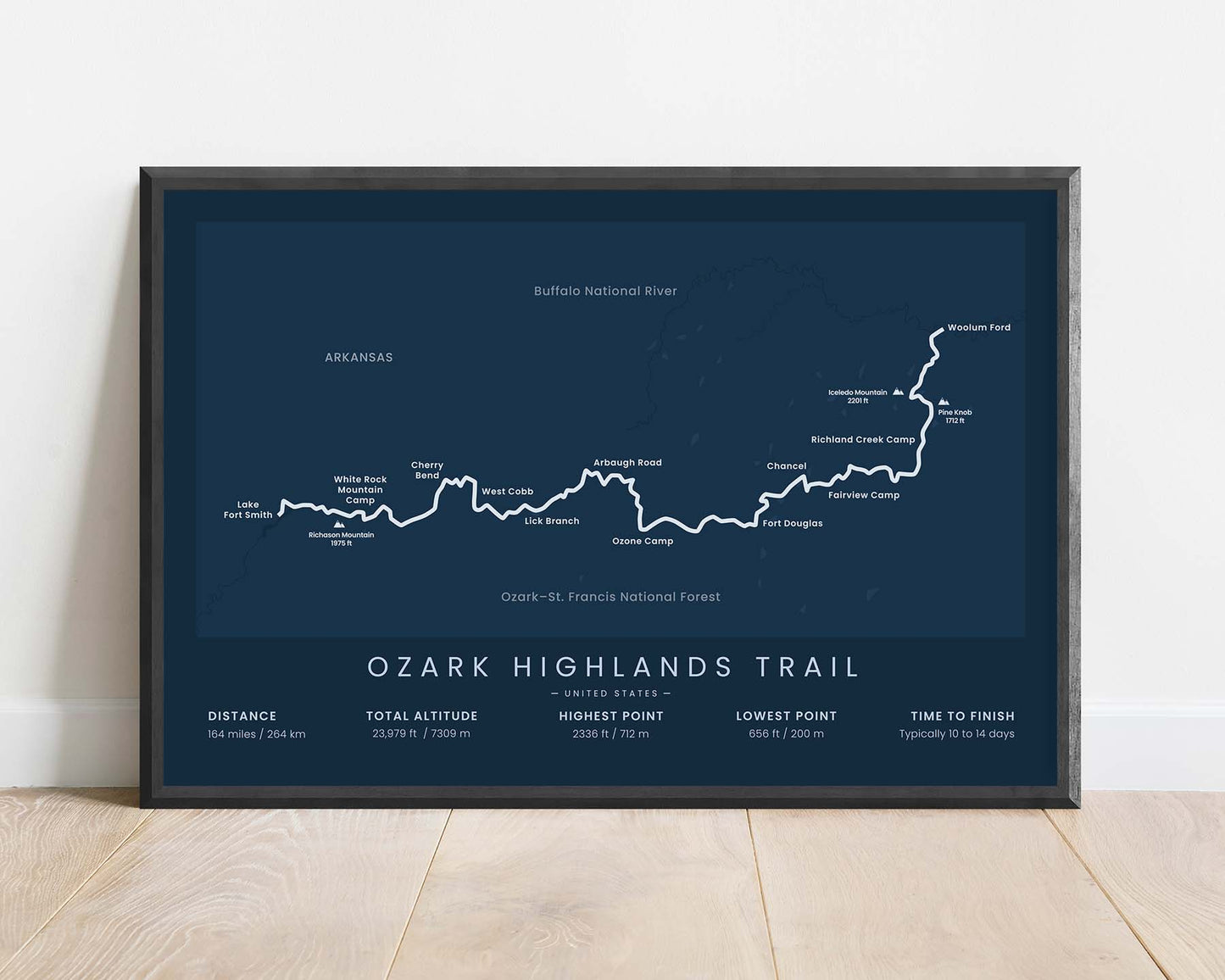


A minimalist map of the Ozark Highlands Trail (OHT) in Arkansas, United States. It shows the full route of the trail, main campsites, points of interest, and mountain peaks, and essential statistics about the trail at the bottom. It's offered in many different color options to look good in most minimalistic and modern interiors."
About the Ozark Highlands Trail
The Ozark Highlands National Recreation Trail, in short OHT, is a long-distance hiking trail in Arkansas. It starts at the Lake Fort Smith State Park, then stretches 164 miles through the Ozark Mountains, and finishes at Woolum Ford near Buffalo National River. The trail itself takes you through some of the most spectacular views of the Ozark National Forest. It goes through overgrown native forests, hilltops, crystal-clear rivers and creeks, and you're sure to see a lot of native wildlife. It's a quiet multi-day hike that allows hikers to recharge and soak up the calmness of the surrounding Ozark Nature.
Statistics About the Ozark Highlands Trail
- Start point: Lake Fort Smith State Park, Arkansas
- End point: Woolum Ford, Arkansas
- Total distance: 164 miles / 264 km
- Total altitude gain/loss: 23 979 ft / 7309 m
- Highest point: 2336 ft / 712 m
- Points of interest: Ozark National Forest, Ozark Mountains, Lake Fort Smith, Lake Fort Smith State Park, Buffalo National River, Arkansas
- Countries crossed: United States
- Time to finish: Typically 10 to 14 days


