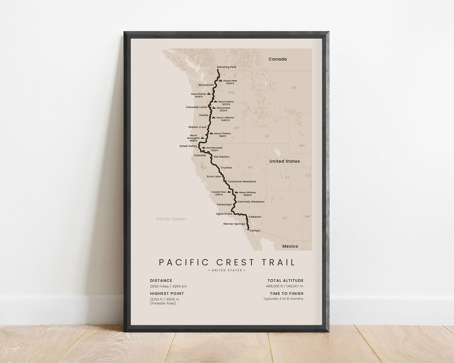
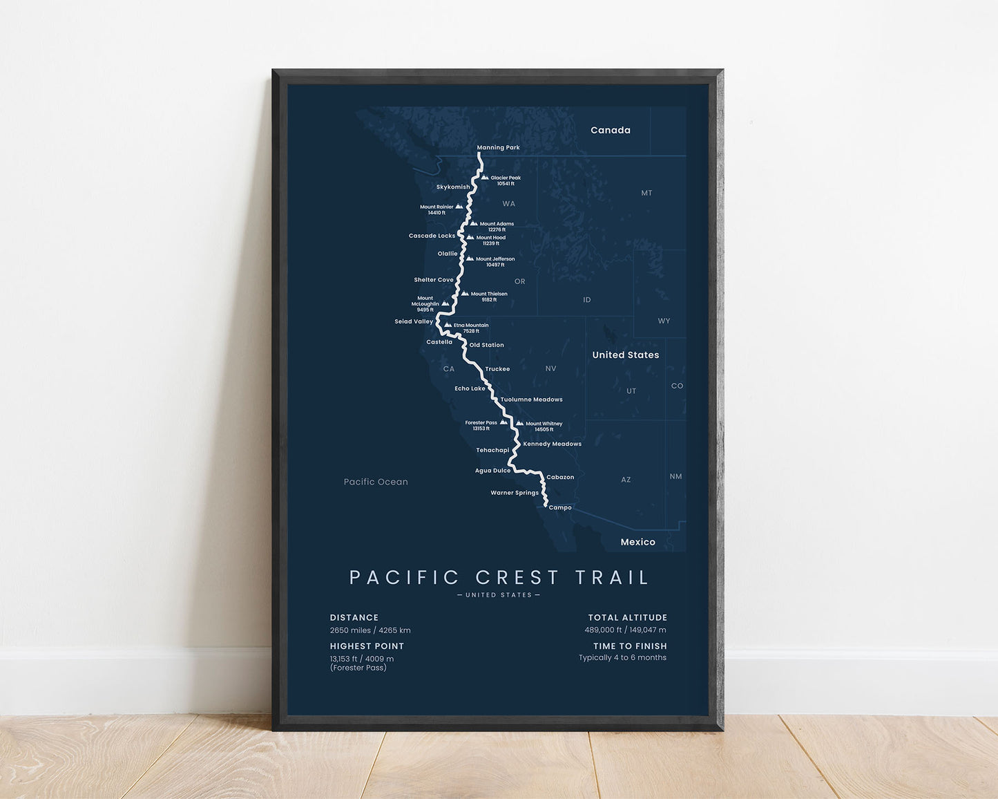
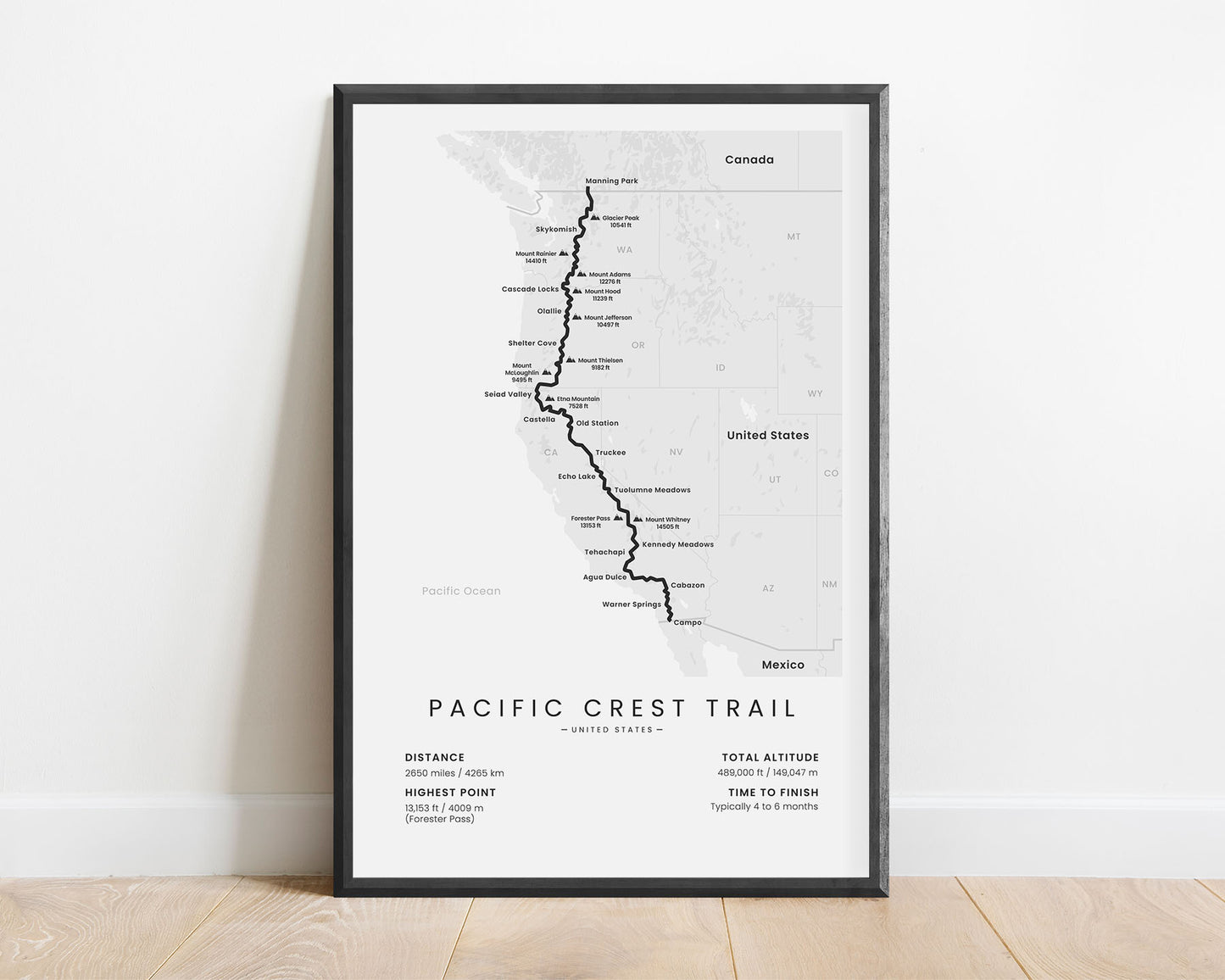
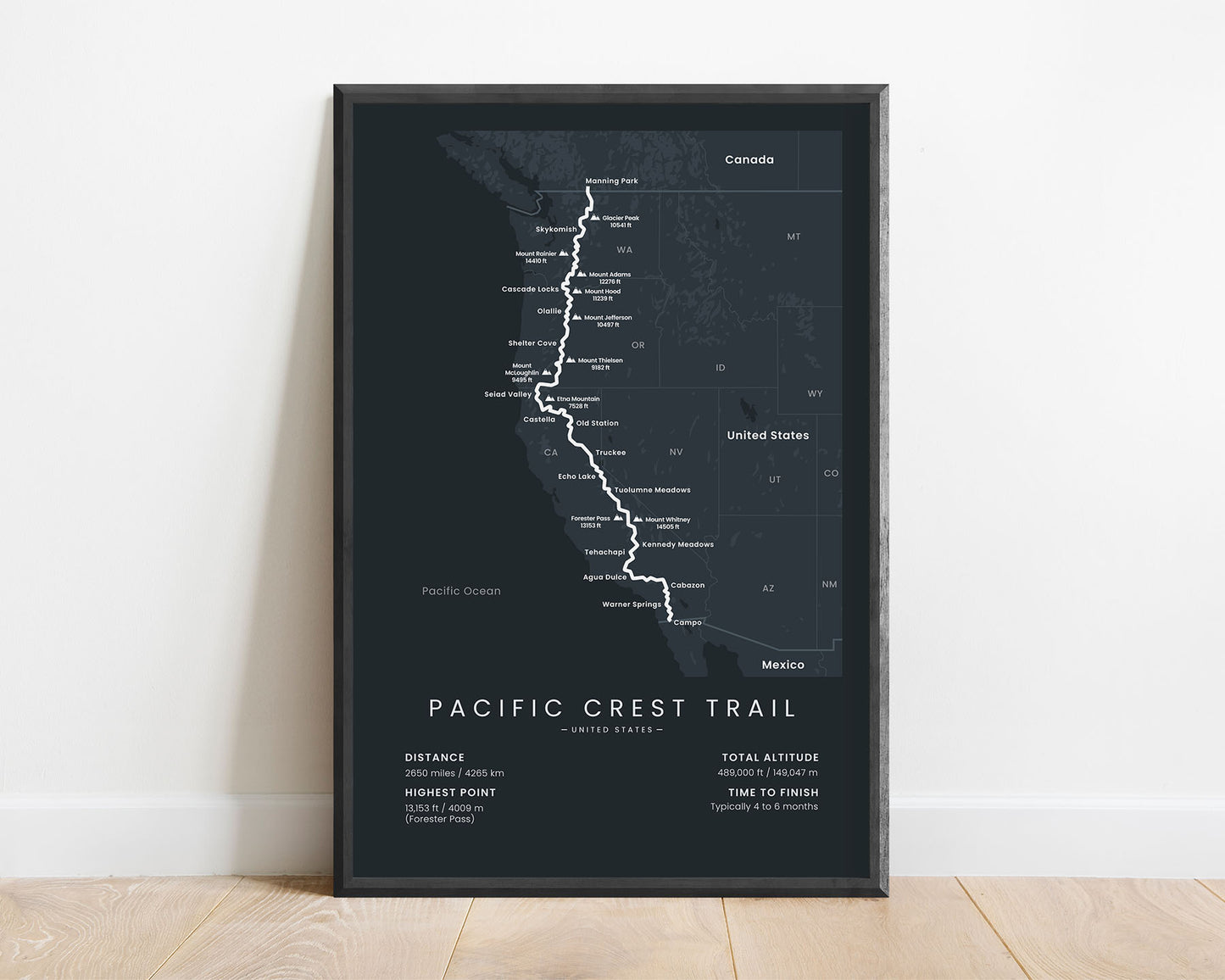
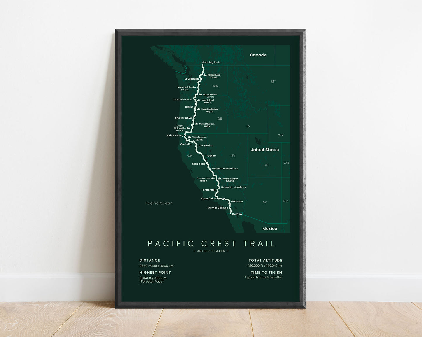

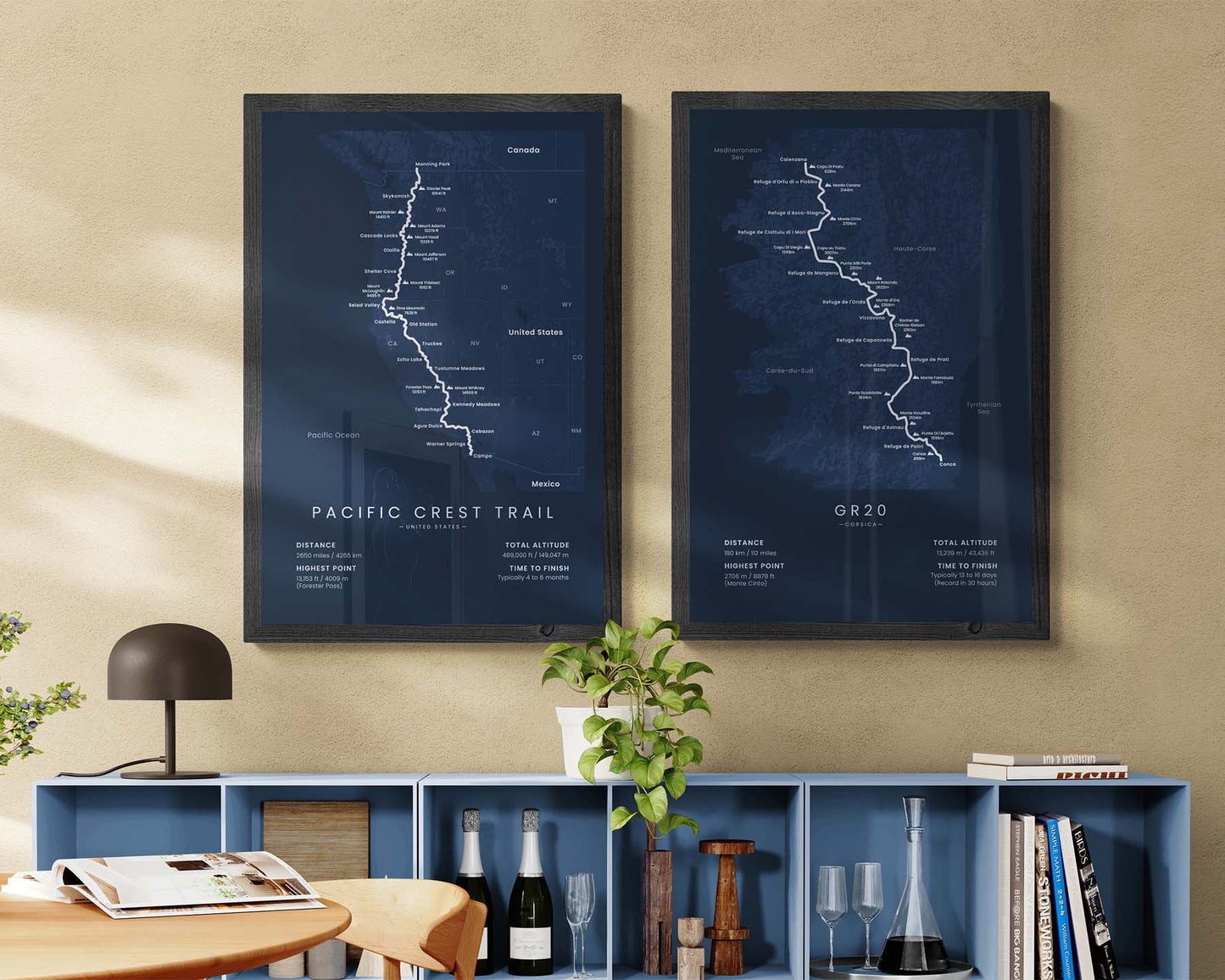

A poster that showcases the map of the Pacific Crest Trail thru-hike. It shows the full route of the trail, the main peaks and cities along the way, and the main statistics about the trail, like the total distance, altitude, and so on. It’s sold in five different color and size variations to fit most interiors. It will also be a great gift to someone who has finished or wants to finish the Pacific Crest Trail by doing one section at a time.
About the Pacific Crest Trail
The Pacific Crest National Scenic Trail (PCT) is one of the most popular thru-hikes in the United States. It's unofficially referred to as one of the "triple crown" thru-hikes in the United States, along with the Appalachian Trail and the Continental Divide Trail, and many people have a goal of completing all three within their lifetimes. It starts at the Southern Terminus (United States - Mexico border, Campo), and ends at the Northern Terminus (Canada, Manning Park). The trail itself follows the Sierra Nevada and Cascade mountain ranges and takes you through very diverse landscapes - the desert on the southern side, mountainous regions in the middle, and green, lush forests in the north.
Statistics About the Pacific Crest Trail
- Start point: Campo, California
- End point: Manning Park, British Columbia
- Total distance: 2650 miles / 4265 km
- Total altitude gain/loss: 489 000 ft / 149 047 m
- Highest point: 13 153 ft / 4009 m (Forester Pass)
- Countries crossed: United States, Canada
- States Crossed: California, Oregon, Washington
- Time to finish: Usually 4 to 6 months
- Best time to hike: April - November


