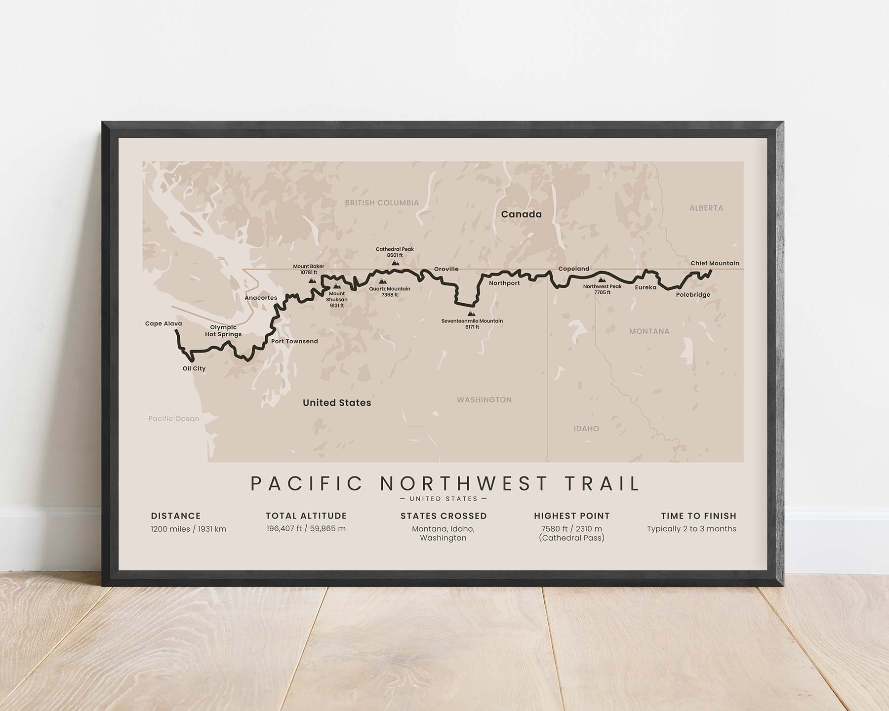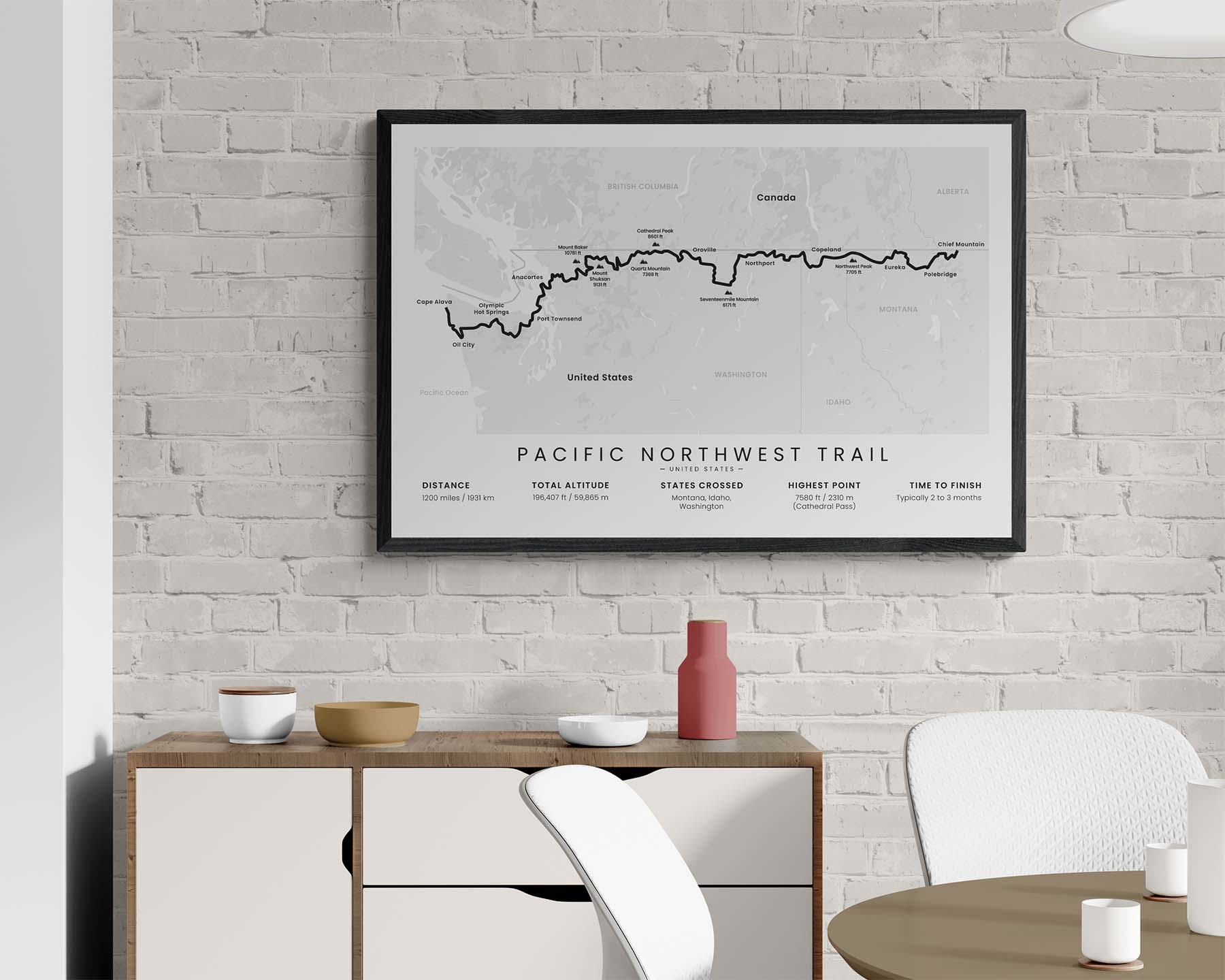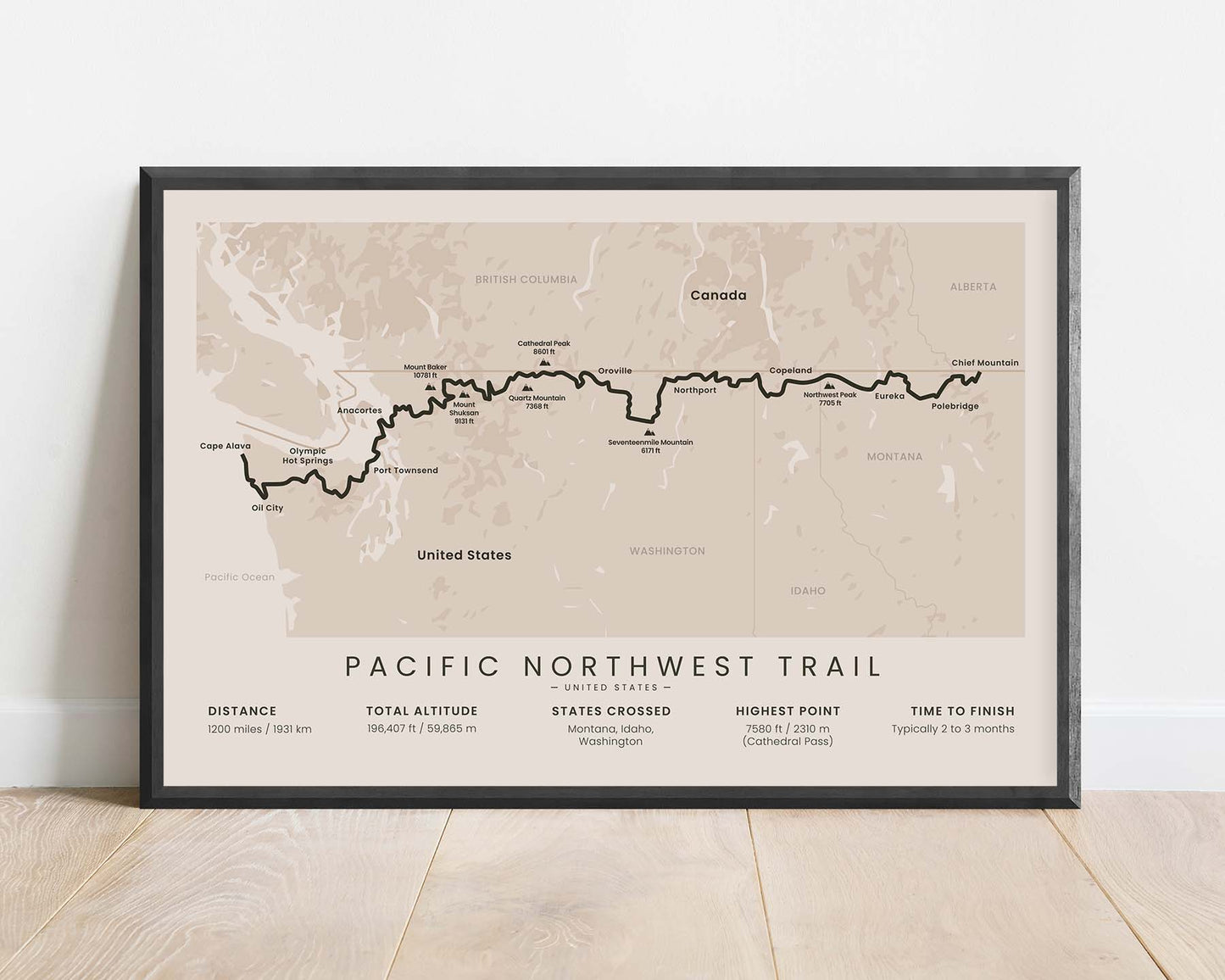
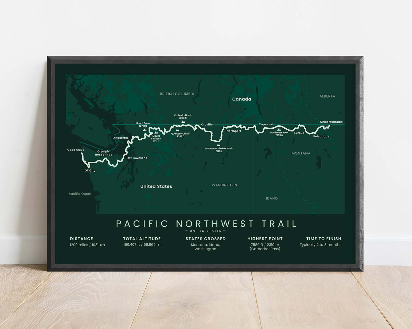
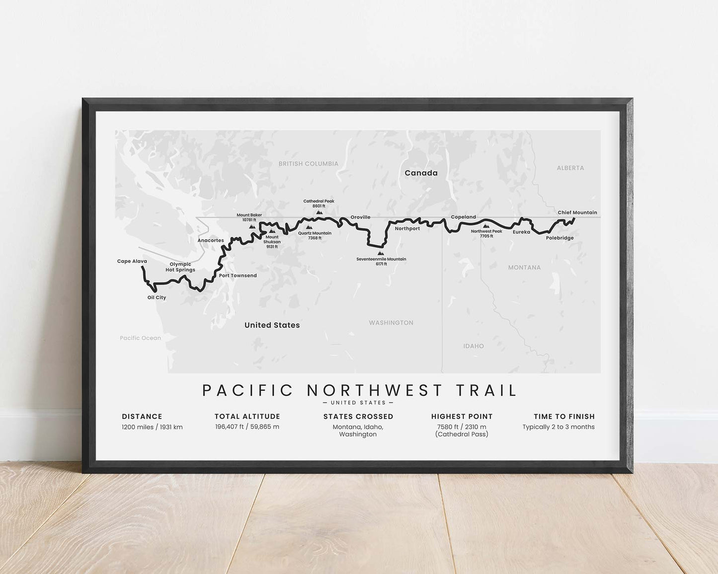
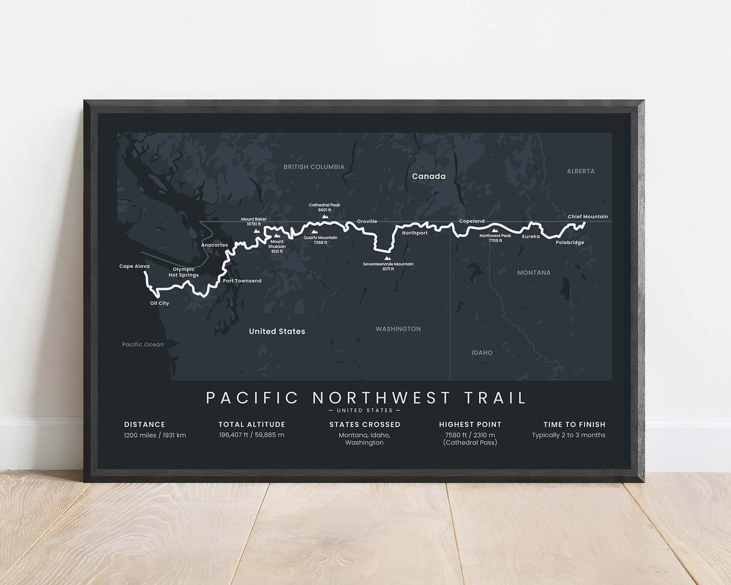
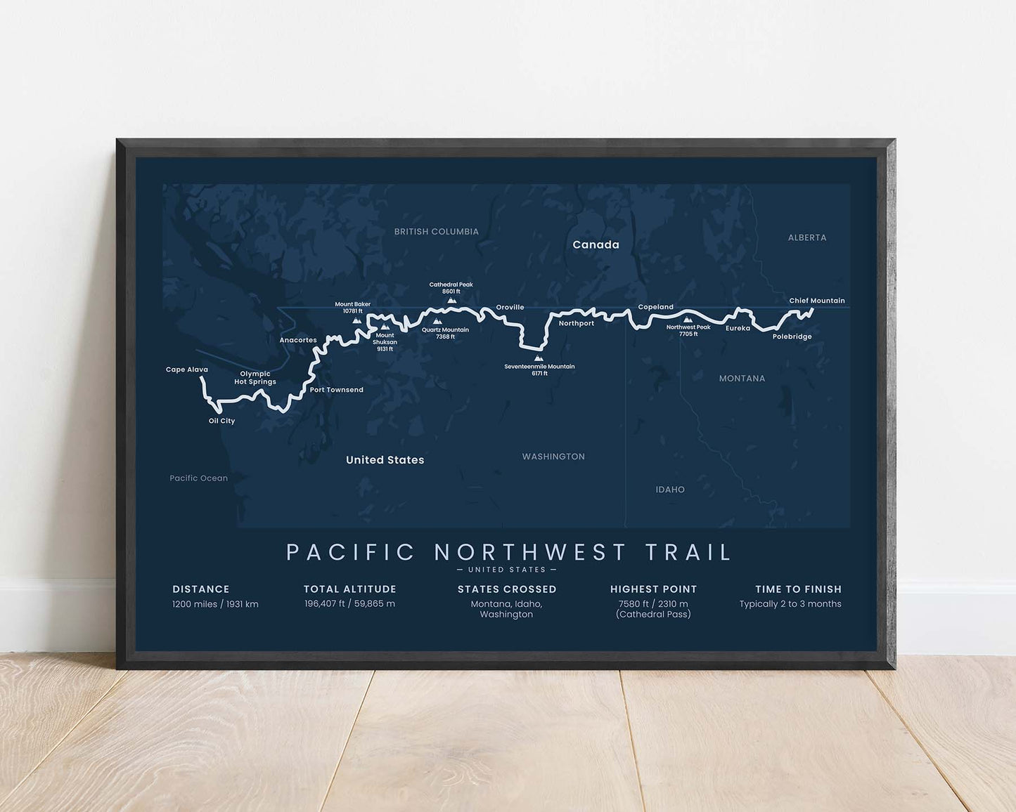
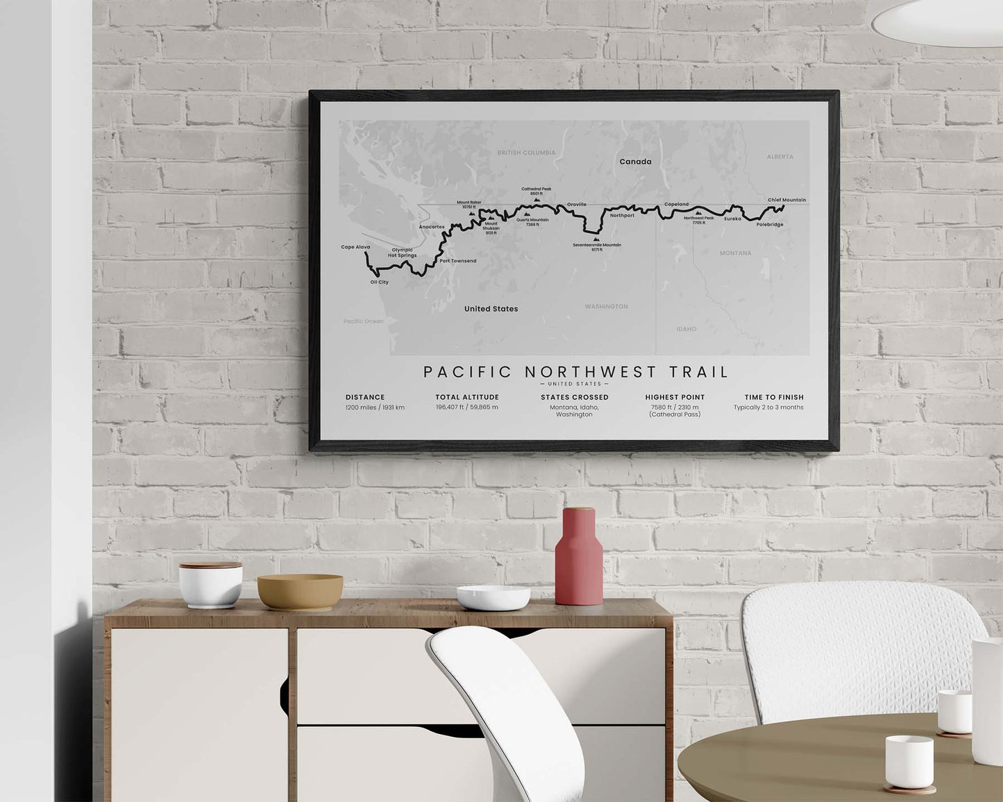
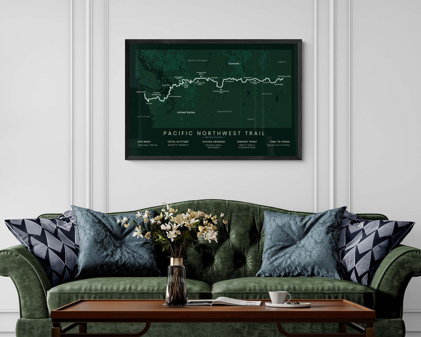

A minimalist print of the Pacific Northwest Trail. It displays the full route from the Continental Divide to the Pacific Ocean. It also shows the highest mountain peaks along the way and other points of interest, as well as important statistics about the hike at the bottom. It's offered in several different color options to look good in most interior designs.
About the Pacific Northwest National Scenic Trail
The Pacific Northwest National Scenic Trail (PNT) is a 1200-mile thru-hike along the United States - Canada border that runs from the Continental Divide to the Pacific Ocean. It goes through the Rockies, Columbia Mountains, North Cascades, Puget Sound, and the Olympic Peninsula. It's a vastly different thru-hike from many others in the US because it goes through very diverse terrain, and runs perpendicular to many mountain ranges.
Statistics About the Pacific Northwest Trail
- Start point: Chief Mountain Summer Station, United States - Canada border
- End Point: Cape Alava, Washington, US
- Total distance: 1200 miles / 1931 km
- Total altitude gain/loss: 196 407 ft / 59 865 m
- Highest point: 7580 ft / 2310 m (Cathedral Pass)
- States crossed: Montana, Idaho, Washington
- Time to finish: Typically 2 to 3 months

