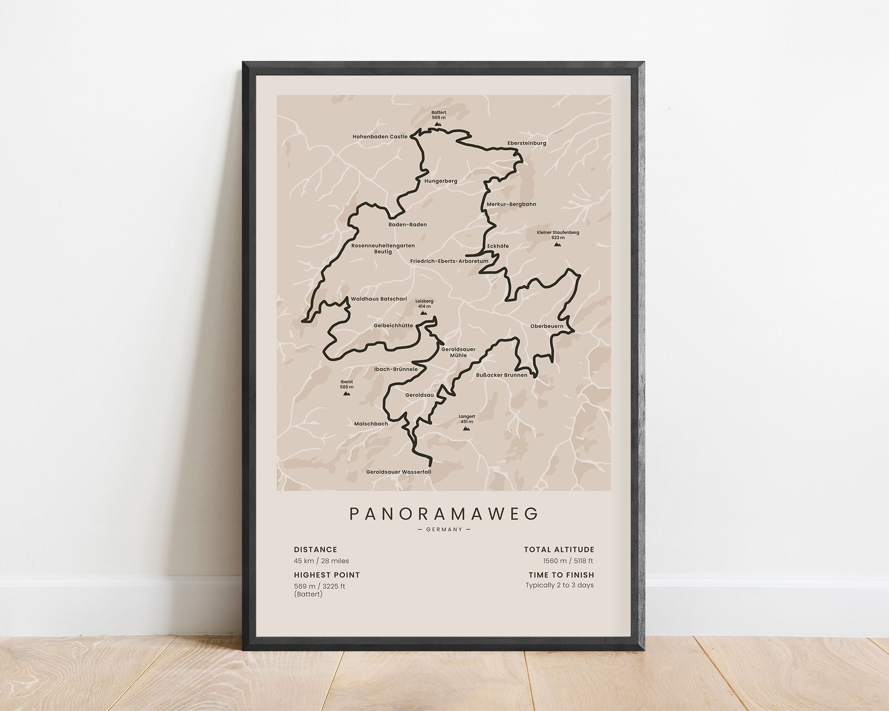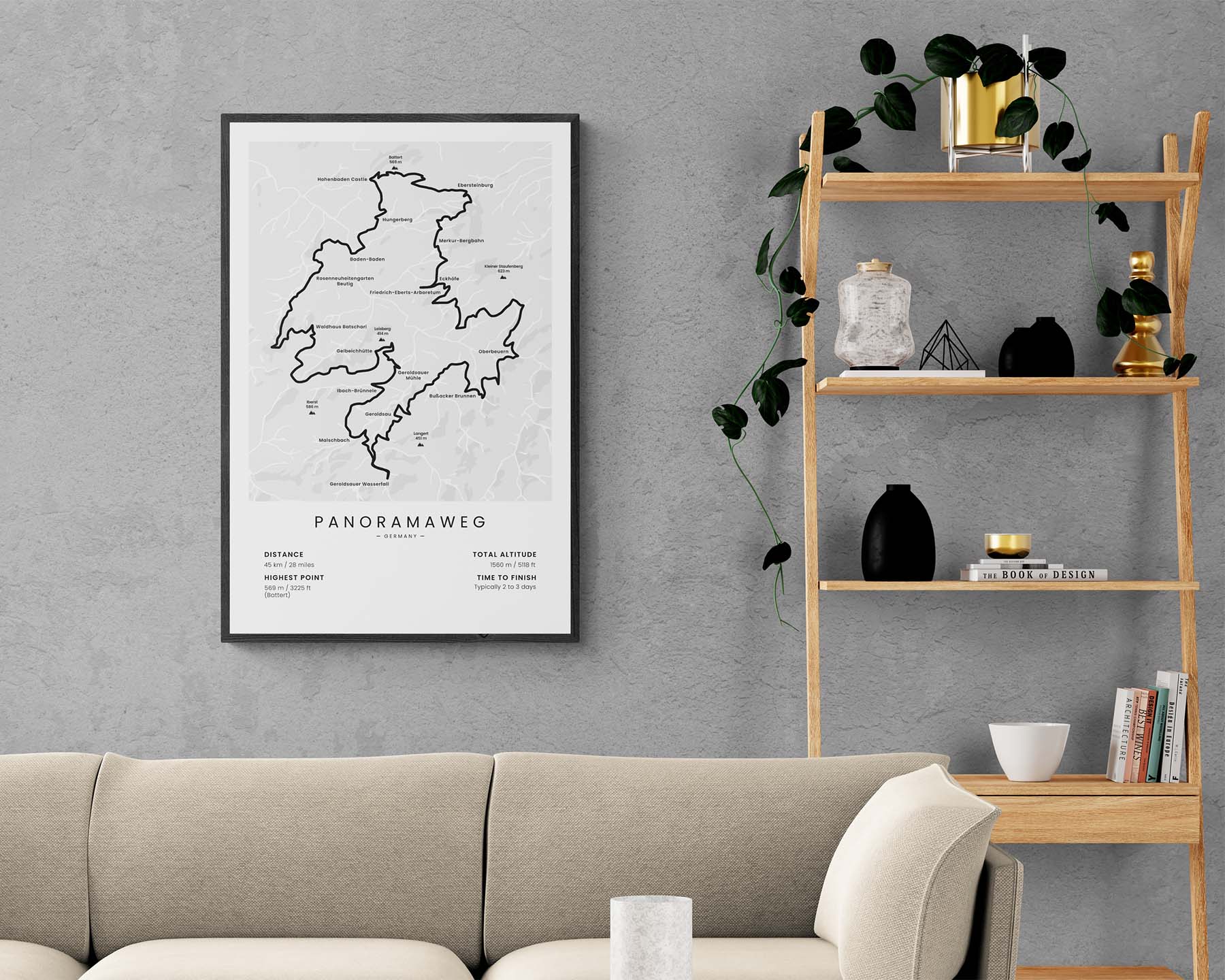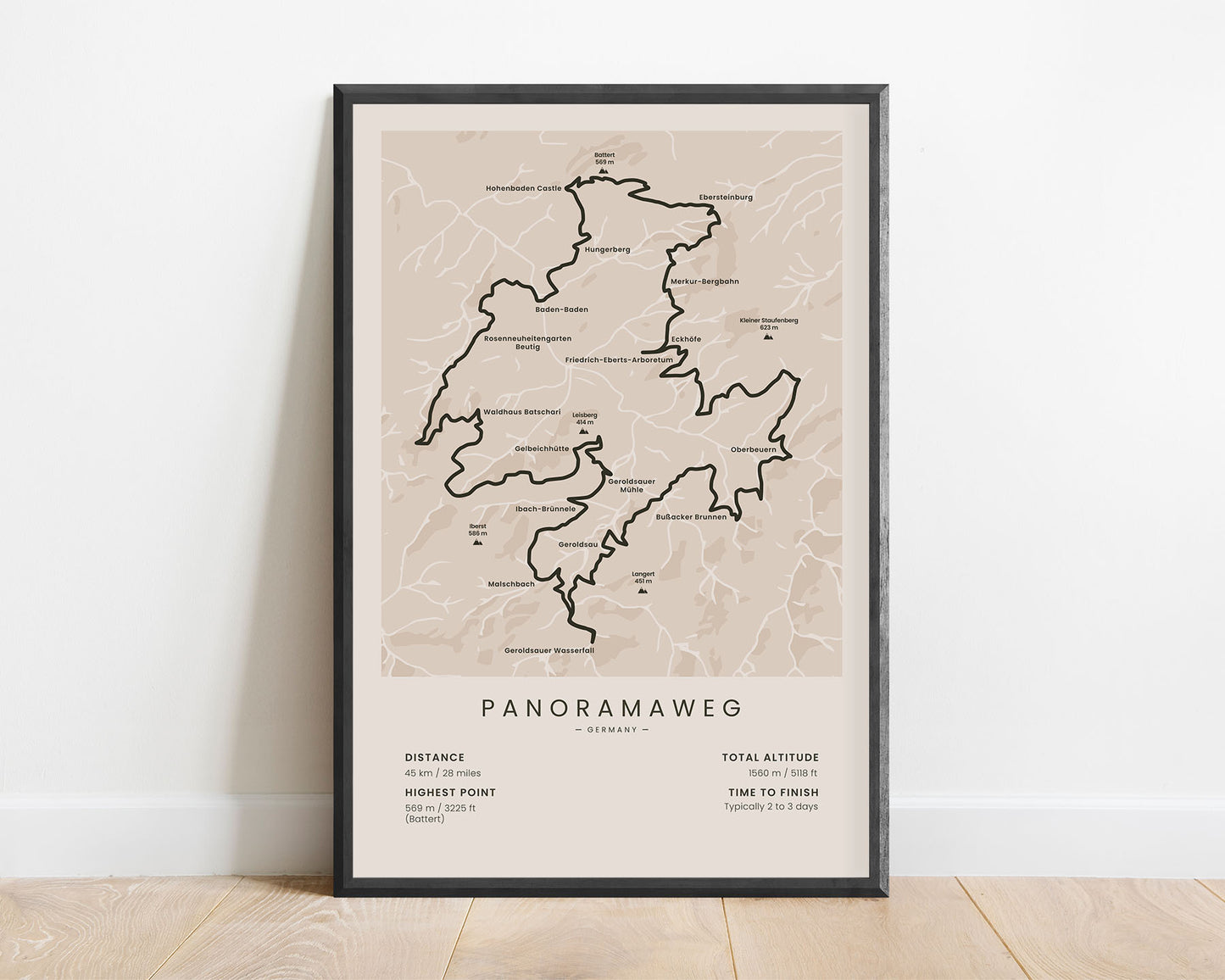
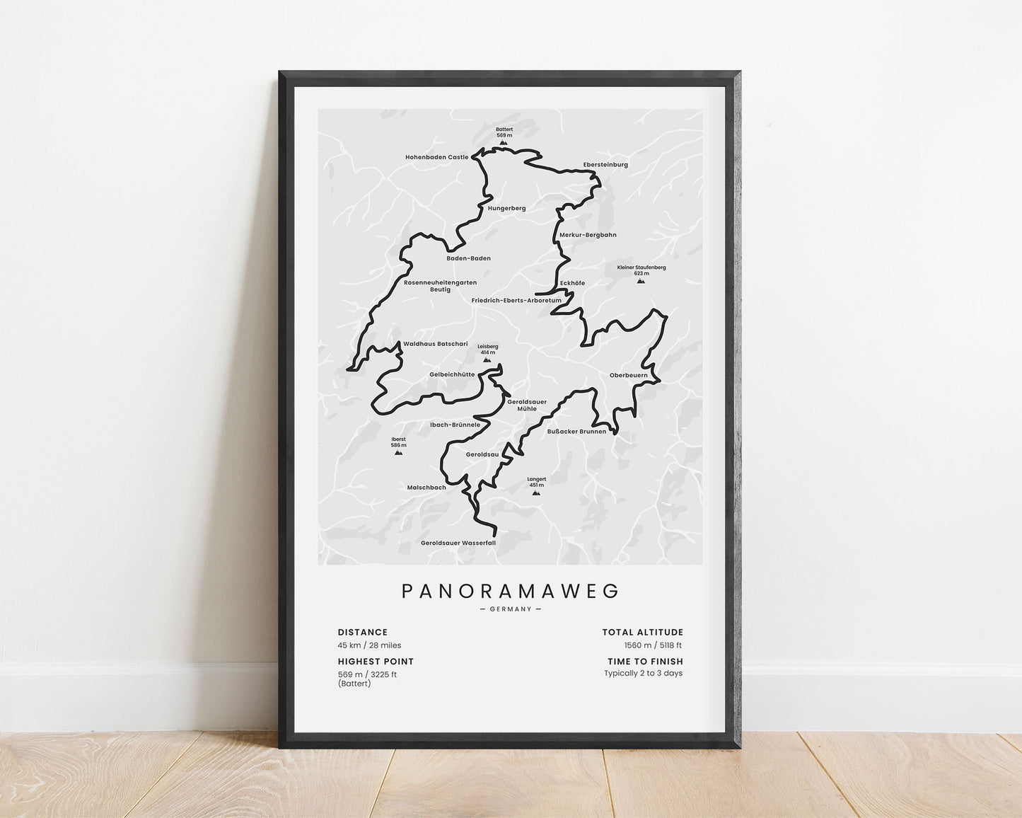
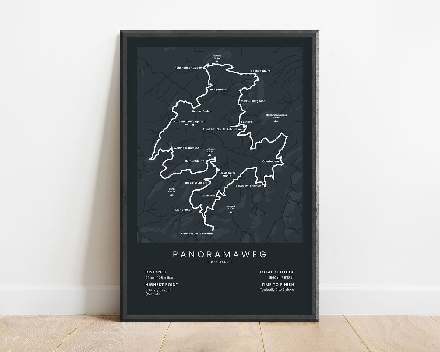
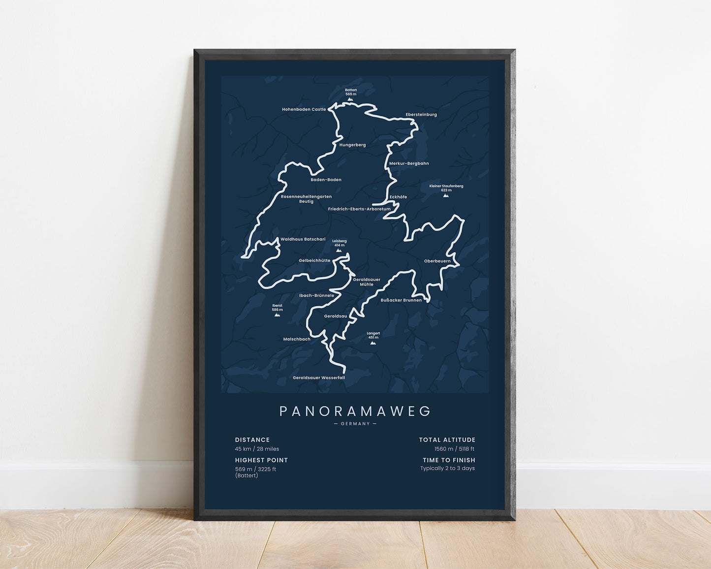
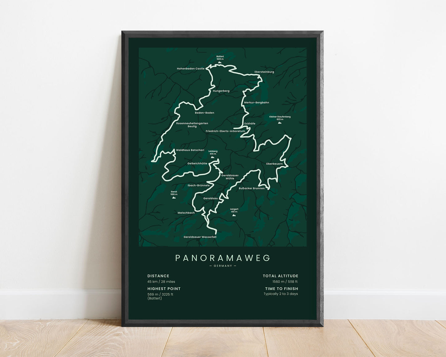
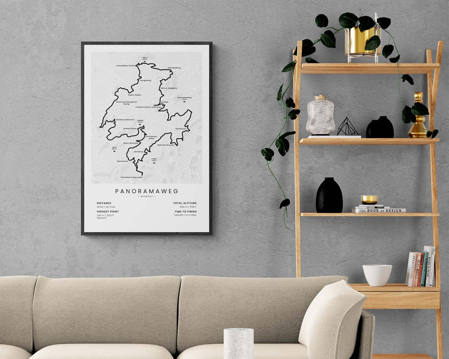


A minimal poster of the Panoramaweg Trail in the Black Forest, Germany. It shows a rough topographical map of the area with the main cities, peaks, points of interest, and important details about the trail at the bottom. If you want to hike the Panoramaweg Trail sometime in the future, this poster will keep your eyes on the goal.
About The Panoramaweg Trail
The Panoramaweg is a medium-length hiking trail in South-West Germany, near the French border. It goes 45 kn through Baden-Württemberg (Black Forest), starting at the city of Baden-Baden. It's a really popular hiking trail because it takes you through an area with magnificent views of the surrounding hills, rivers, and untouched forests.
Statistics About the Panoramaweg Trail
- Start/End point: Baden-Baden, Baden-Württemberg, Germany
- Total distance: 45 km / 28 miles
- Total altitude gain/loss: 1560 m / 5118 ft
- Highest point: 569 m / 3225 ft (Battert)
- Points of interest: Baden-Baden, Baden-Württemberg, Black Forest, Battert, Ritterplatte, Rhine Valley
- Time to finish: Typically 2 to 3 days

