


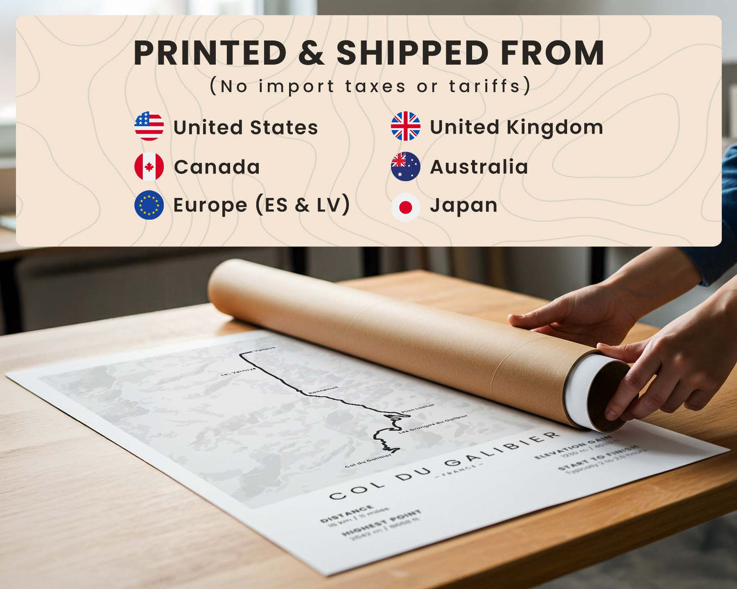


A minimalistic poster that shows the iconic Passo dello Stelvio (Stelvio Pass) cycling route - a 25 km climb from Prato allo Stelvio (Prad am Stilfser Joch) in Italy. It also includes important statistics about the route, shown at the bottom, such as distance, highest point, elevation gain, and time to finish. Free customizations.
About the Passo dello Stelvio Route
The Passo dello Stelvio cycling route from Prato allo Stelvio is one of the most celebrated climbs in the Alps. The ascent spans approximately 25 km and rises to 2760 metres above sea level, making it one of Europe’s highest paved mountain passes. Renowned for its 48 numbered hairpin bends and sustained gradients, the route is a defining challenge in professional cycling. Frequently featured in the Giro d’Italia, Stelvio is admired for its dramatic alpine scenery, technical ascent, and historic significance. It remains a landmark destination for cyclists seeking one of the sport’s most iconic mountain climbs.
Statistics About the Passo dello Stelvio
- Start point: Prato allo Stelvio, Italy
- End point: Stelvio Pass, Italy
- Distance: 25 km / 15.5 miles
- Elevation gain: 1844 m / 6050 ft
- Highest point: 2760 m / 9055 m
- Time to Finish: Typically 2.5 to 3.5 hours