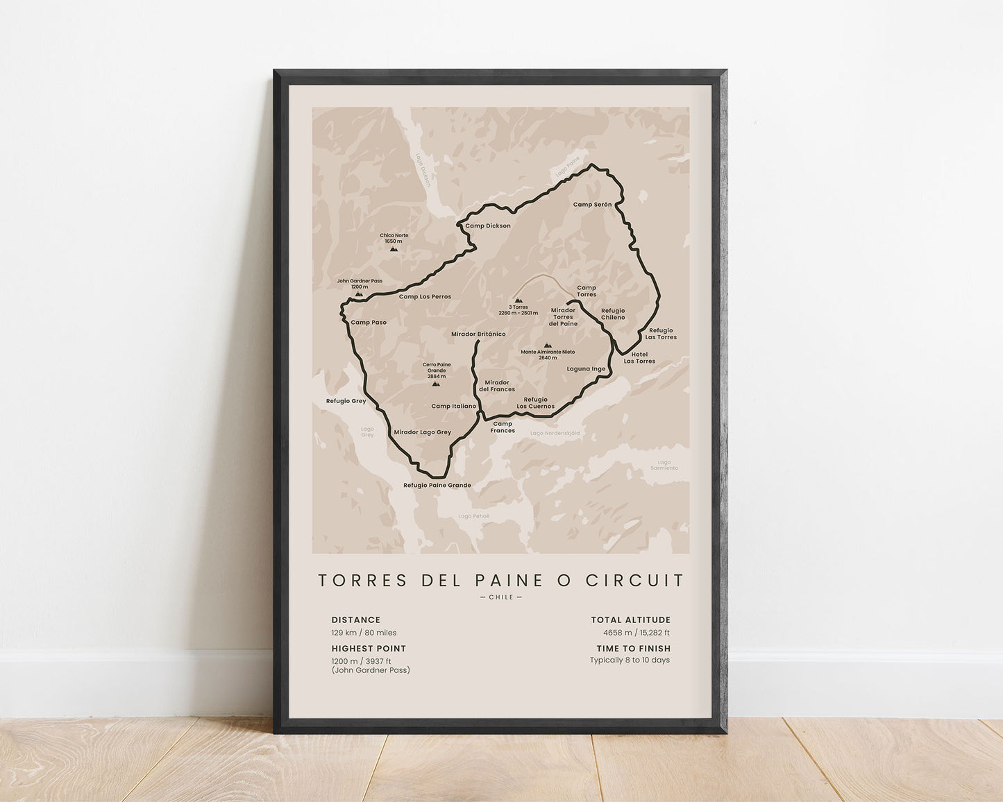
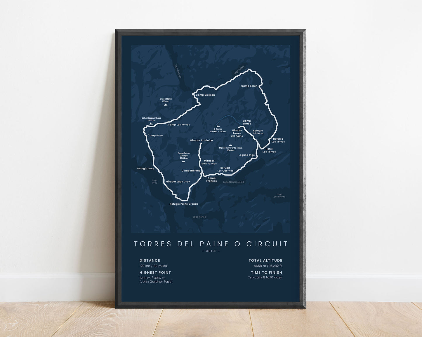
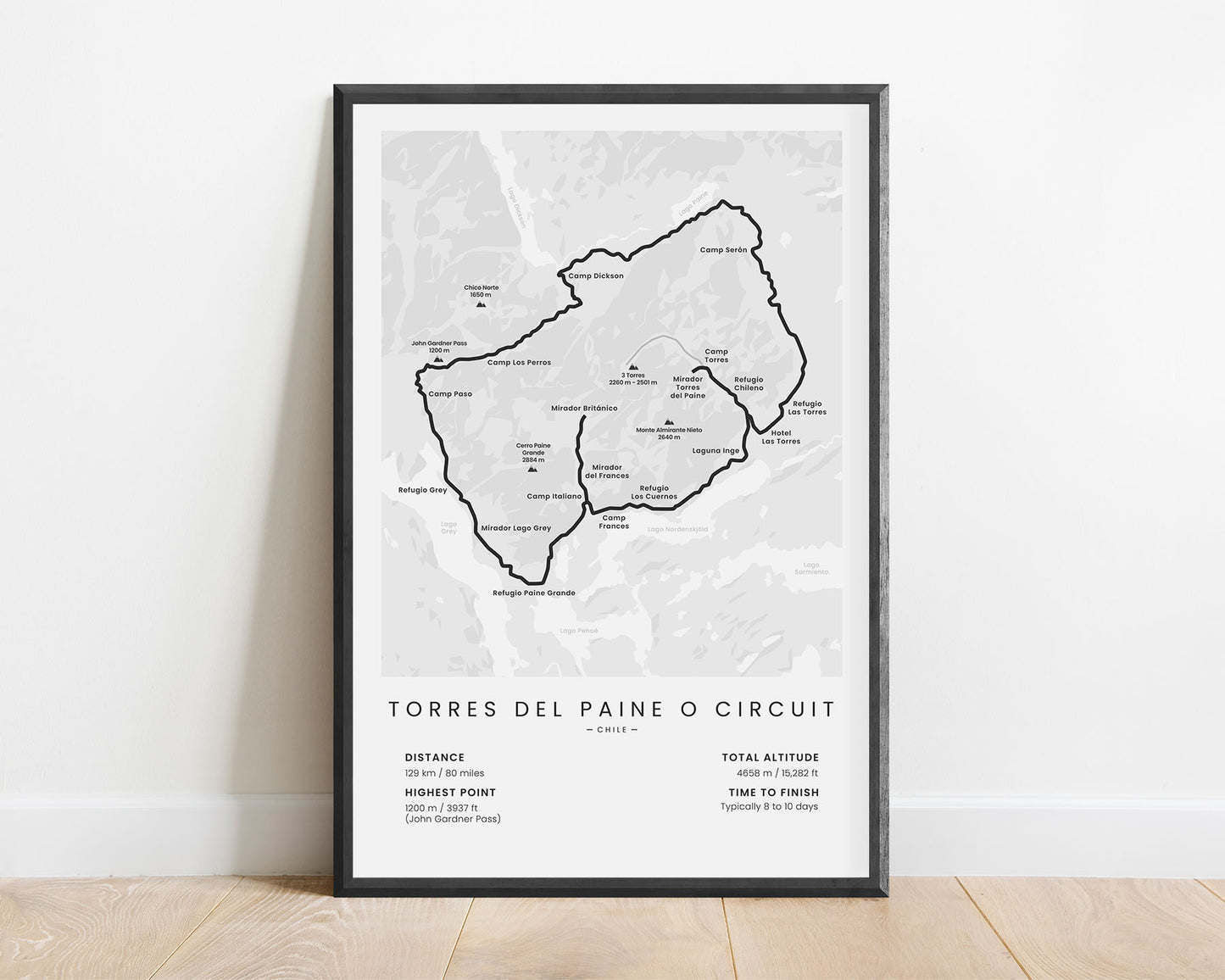
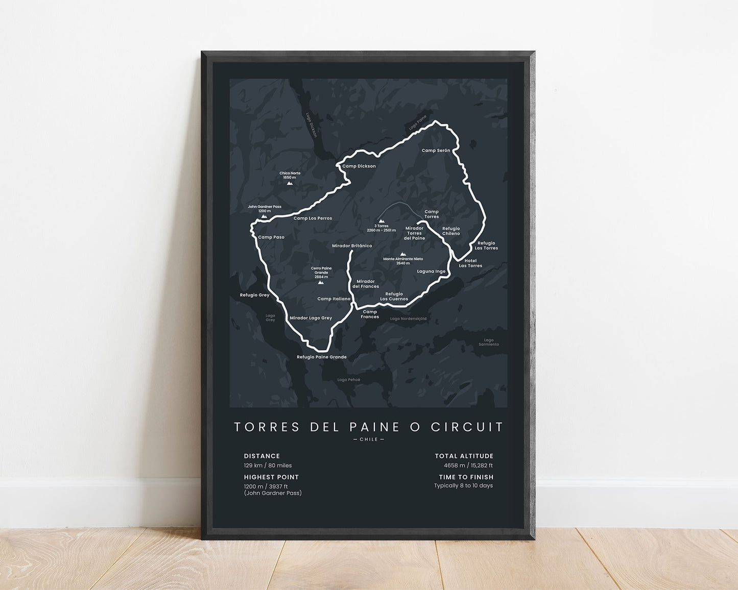
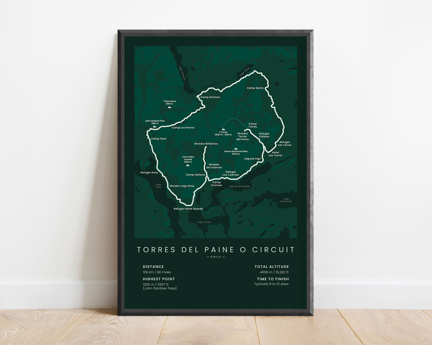


A minimalistic poster that shows the map of the Torres del Paine O Trek hiking trail. This print will fit into most Scandinavian and modern interiors, and it’s offered in multiple different color and size options. This Patagonia O Circuit poster will be an appreciated gift to someone who has hiked this trail.
About the Torres del Paine O Circuit
The Patagonia O Trek (Other called Torres Del Paine O Circuit) is the second most popular hiking trail in Patagonia, right after the Torres del Paine W Trek (which is also a part of the O Trek). The O Circuit thru-hike starts and ends at the Laguna Amarga Torres del Paine National Park entrance and goes a circular route around the highest peaks in the park (Cerro Paine Grance, Monte Almirante Nieto, and Torred del Paine). It takes you through the Torres Del Paine National Park, which is filled with steep, rough cliffs, blue lagoons, glaciers, white water rivers, overgrown pine forests, and wildlife.
Statistics About the Patagonia O Trek
- Start & End point: Laguna Amarga, Patagonia, Chile, South America
- Total distance: 80 miles / 129 km
- Total altitude gain/loss: 15 282 ft / 4658 m
- Highest point: 3939 ft / 1200 m (John Gardner Pass)
- Countries crossed: Chile
- Time to finish: Usually 8 to 10 days
- Best time to hike: Novemeber-March


