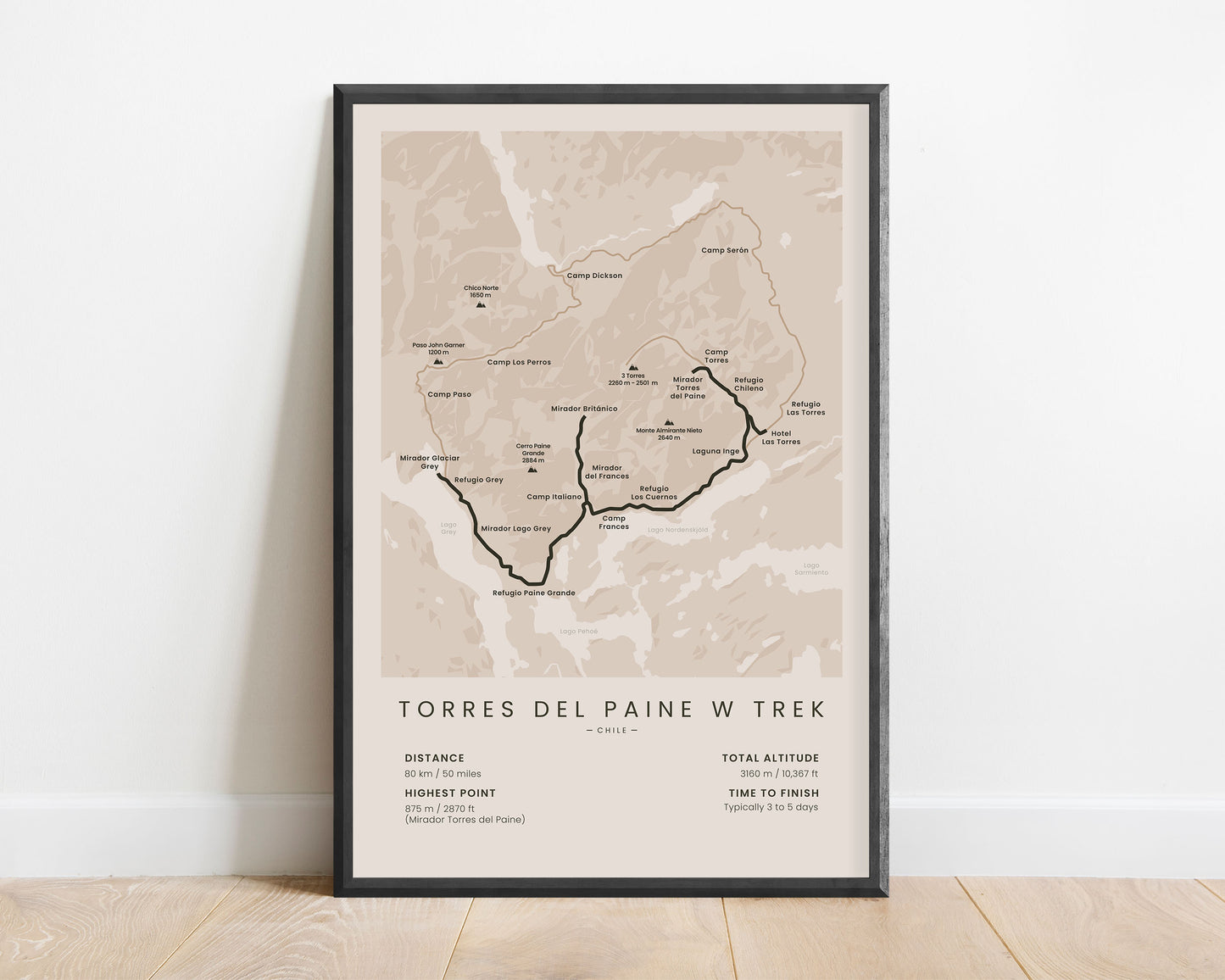
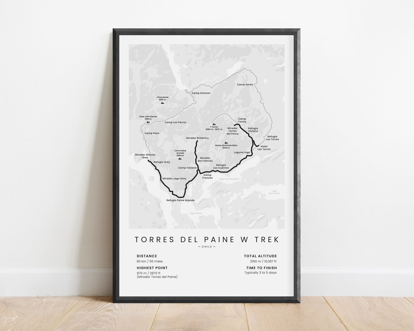
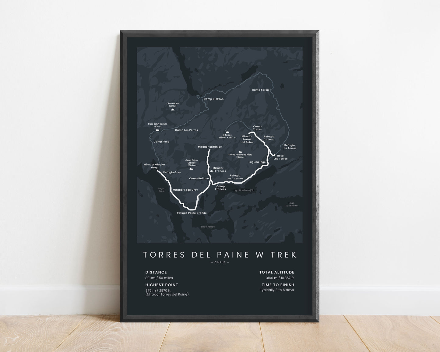
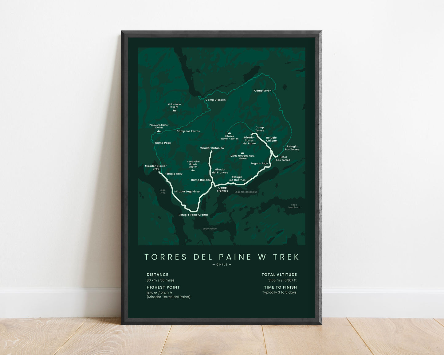
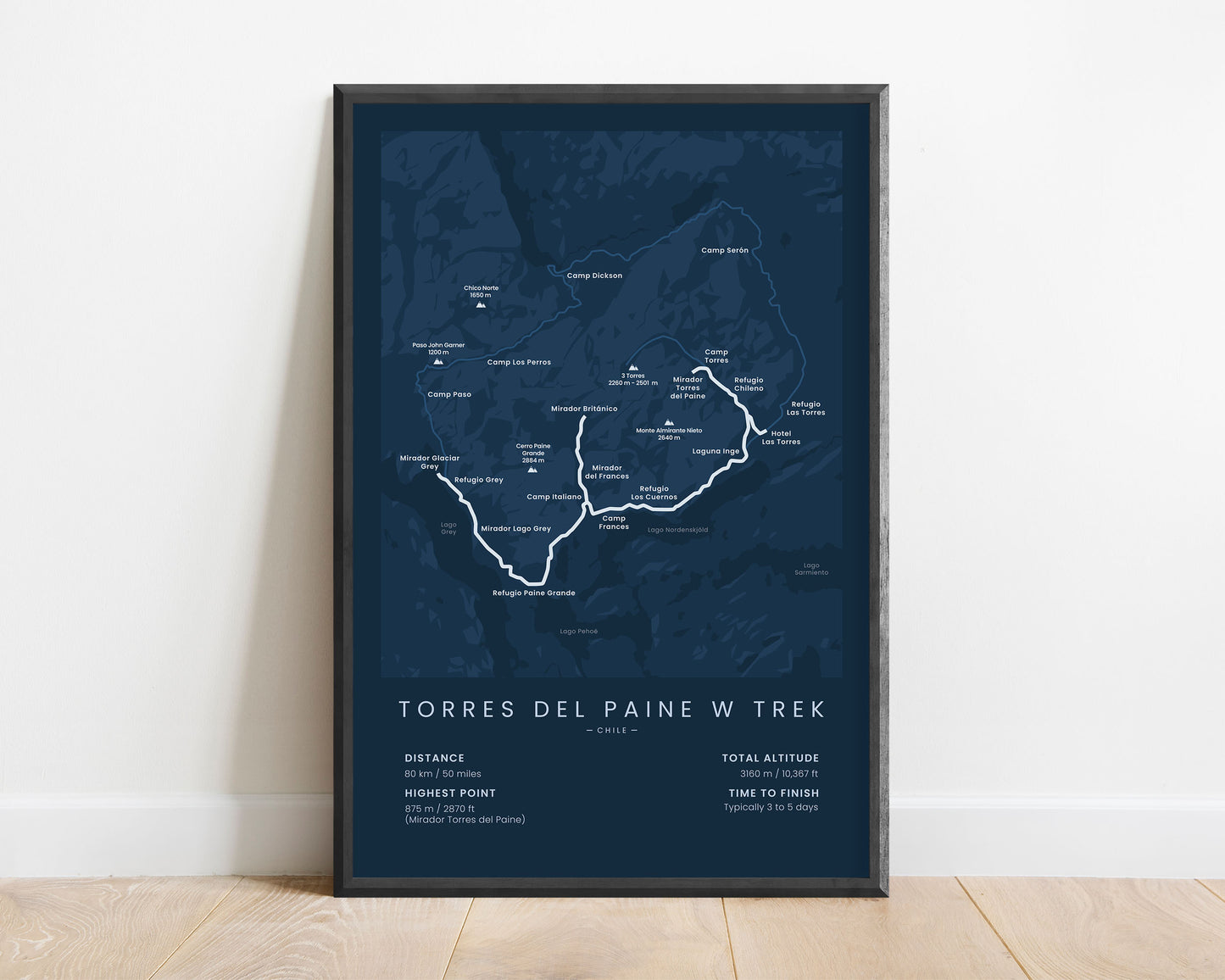

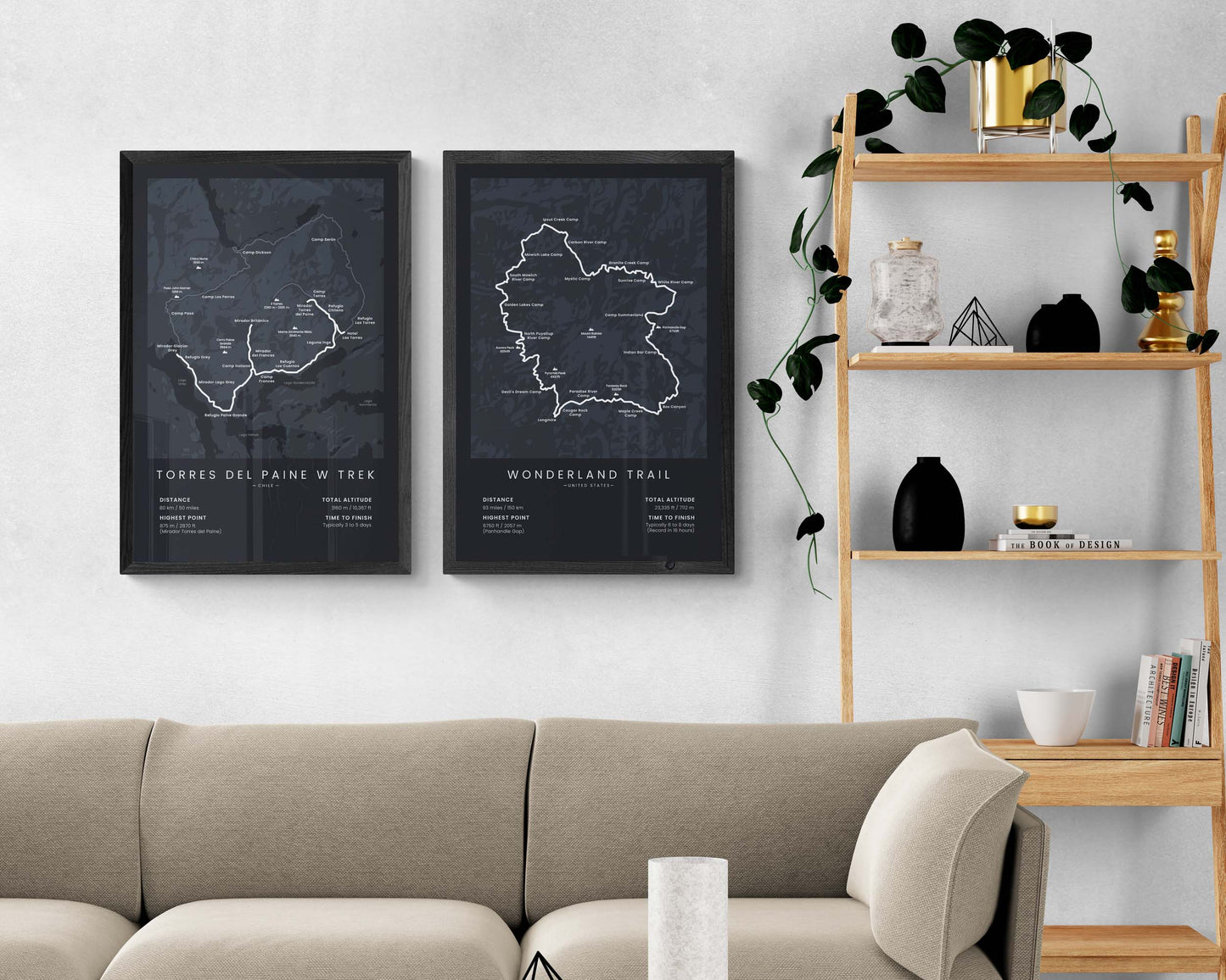

A print that displays the map of the Torres Del Paine W Trek in Patagonia. It shows the main statistics about the trail, including the total distance, total altitude gain, highest point, and average time to finish. In addition to that, it also shows the full route of the trail, important refugios, peaks, lakes, and other points of interest. It’s made in a minimal style to fit most interiors.
About the Patagonia W Trek
The Torres Del Paine W Trek (other called Patagonia W Trek or Torres Del Paine W Circuit) is the most popular hiking trail in Patagonia, Chile, and also one of the most popular hiking trails in South America. Each year, it's hiked by thousands of hikers due to the spectacular scenery that it offers of the Torres Del Paine National Park, which includes views of beautiful, rugged peaks, crystal-clear lagoons, and lush forests in the valleys. It's called "W Trek", because the trail itself is shaped like the letter "W", due to it reaching three valleys (Ascencio Valley, French Valley, and Lago Grey Valley) and two mountain passes (Mirador Torres Del Paine and Mirador Britanico). Some people also choose to do the Patagonia O Circuit, which is displayed as a side trail in this poster. The W Trek itself is fairly easy to do, but it includes some steep ascents, so it would be preferable to be in good shape before starting the hike.
Statistics About the Torres Del Paine W Trek
- Start point: Refugio Las Torres, Chile
- End point: Refugio Paine Grande, Chile
- Total distance: 50 miles / 80 km
- Total altitude gain/loss: 10 367 ft / 3160 m
- Highest point: 2870 ft / 875 m (Mirador Torres Del Paine)
- Countries crossed: Chile
- Time to finish: Typically 3 to 5 days
- Best time to hike: December - March


